Walking in Pairs 2 -Tokyo / Edinburgh

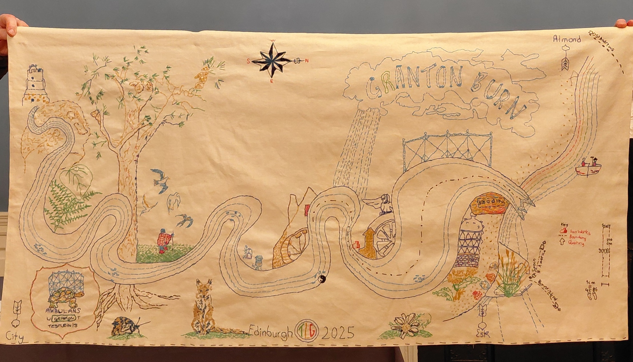
For our second walk together-apart, Kristina Rothstein and I walked in Tokyo, Japan and Edinburgh, Scotland respectively. 2nd October 2025. The agreed location was the city, and coordinated stops were scheduled for the beginning, middle and end. We were looking for found words to make into a poem.

Kristina’s walk

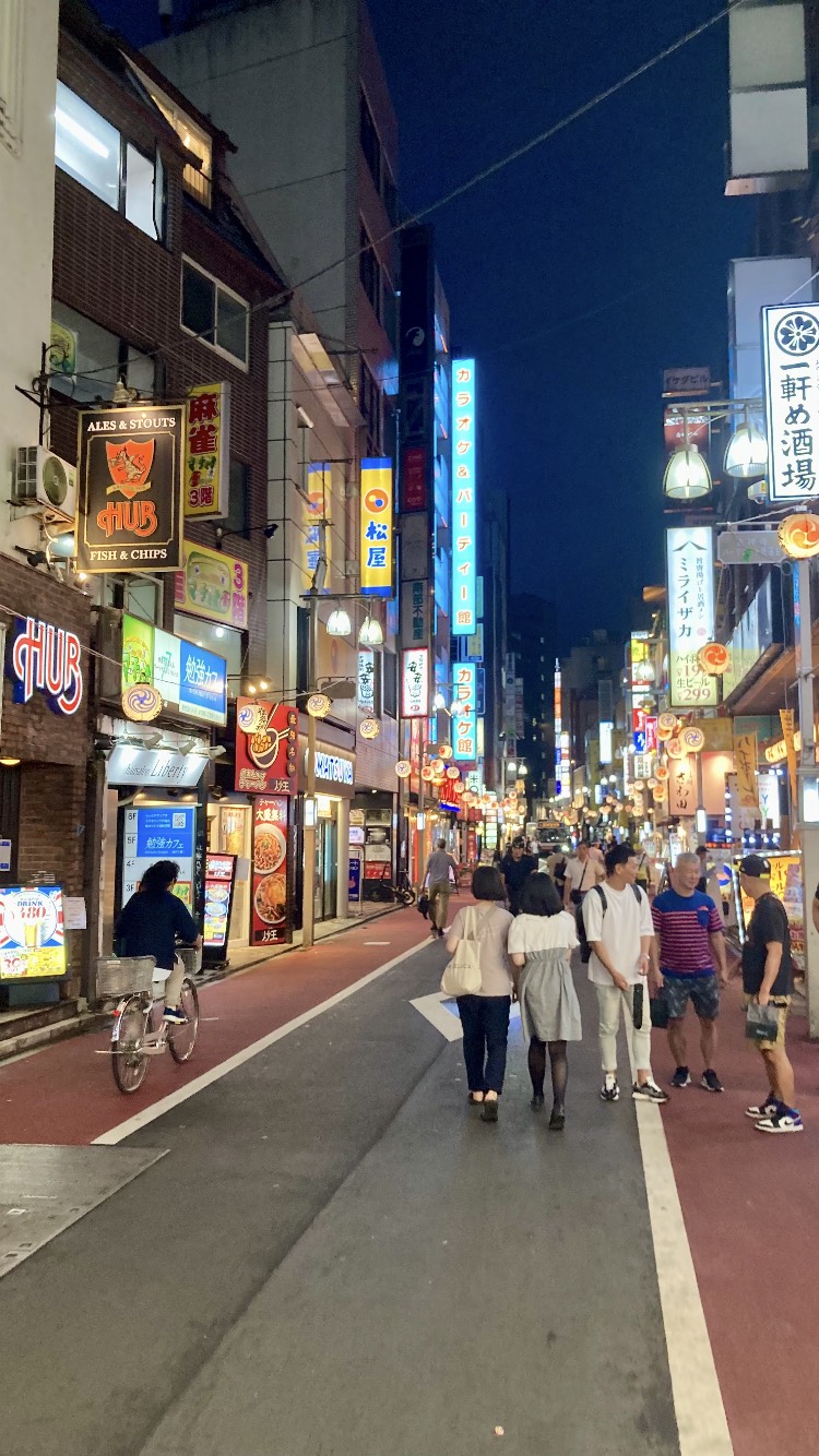
The walk started at 7pm Tokyo time, on the last night of my three and half week trip to Japan. Japan does not use daylight savings time, so it was completely dark. It was a clear night with a half moon. I started my walk at Luke Jerram’s “Museum of the Moon” installation at the Shimokitazawa Moon Festival, located at the Shimokita Senrogai Open Space. Shimokitazawa is a hip neighbourhood on the west side of Tokyo with lots of small independent shops, cafes and bars and very narrow, vibrant streets. I have only spent 10 days there but it is the distract of Tokyo that I know best.

There were many young, excited visitors to the moon installation, taking selfies and buying snacks. I did not plan a route, but a general circuit. I walked along a greenway for 5-10 minutes, which is lit and moderately travelled. After that I headed into residential streets. In sharp contrast, almost all were completely deserted, even at this relatively early hour. Tokyo’s narrow residential streets discourage traffic, so I saw no cars and only a few pedestrians. I passed a few bikes and one cat. I heard many chirping insects as if in the countryside. I crossed several level crossings. Some streets continued in a long straight line, but most were on an irregular grid. After over half an hour weaving through these quiet backstreets, I emerged back to the bright streets of convenience stores, restaurants, apartment buildings, hair salons, and grocery stores.

The sensation of the walk was strange. To wander with no destination in the evening in an unknown city was unusual for me. While on busy streets I observed people from more of a distance than I usually might. It was also odd to be on such quiet residential streets when I was not walking to one of those residences.

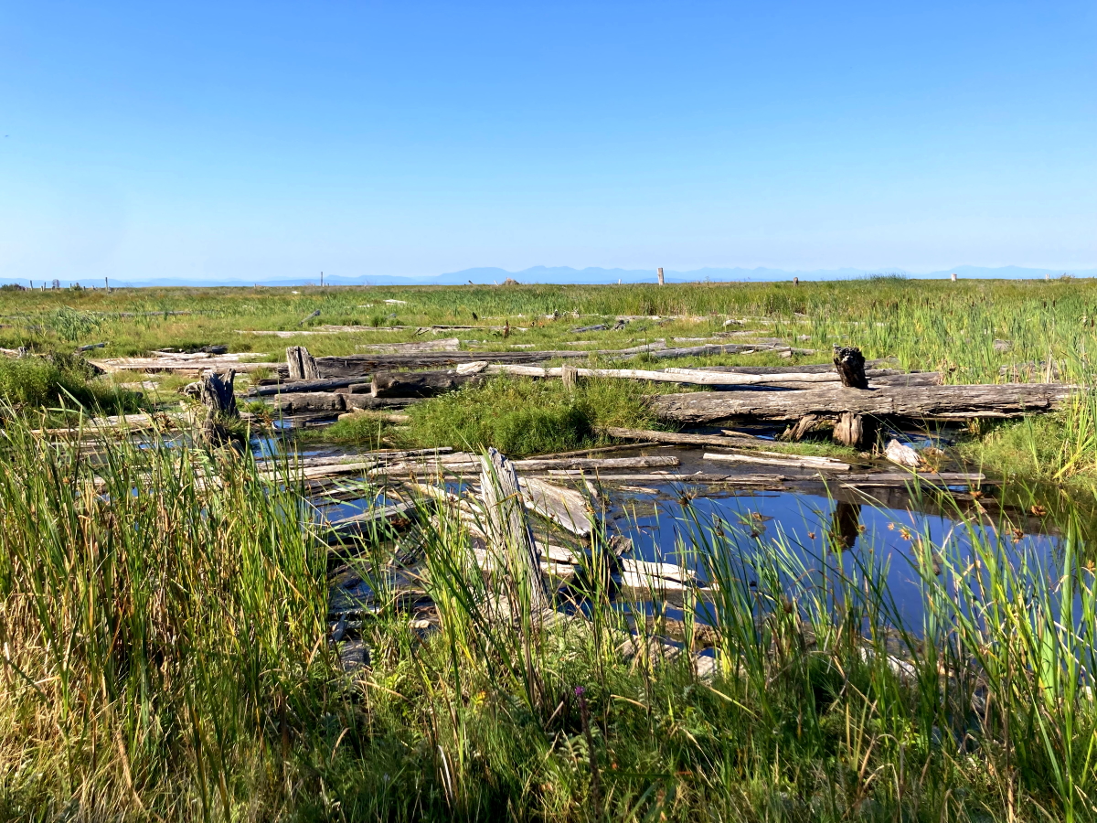
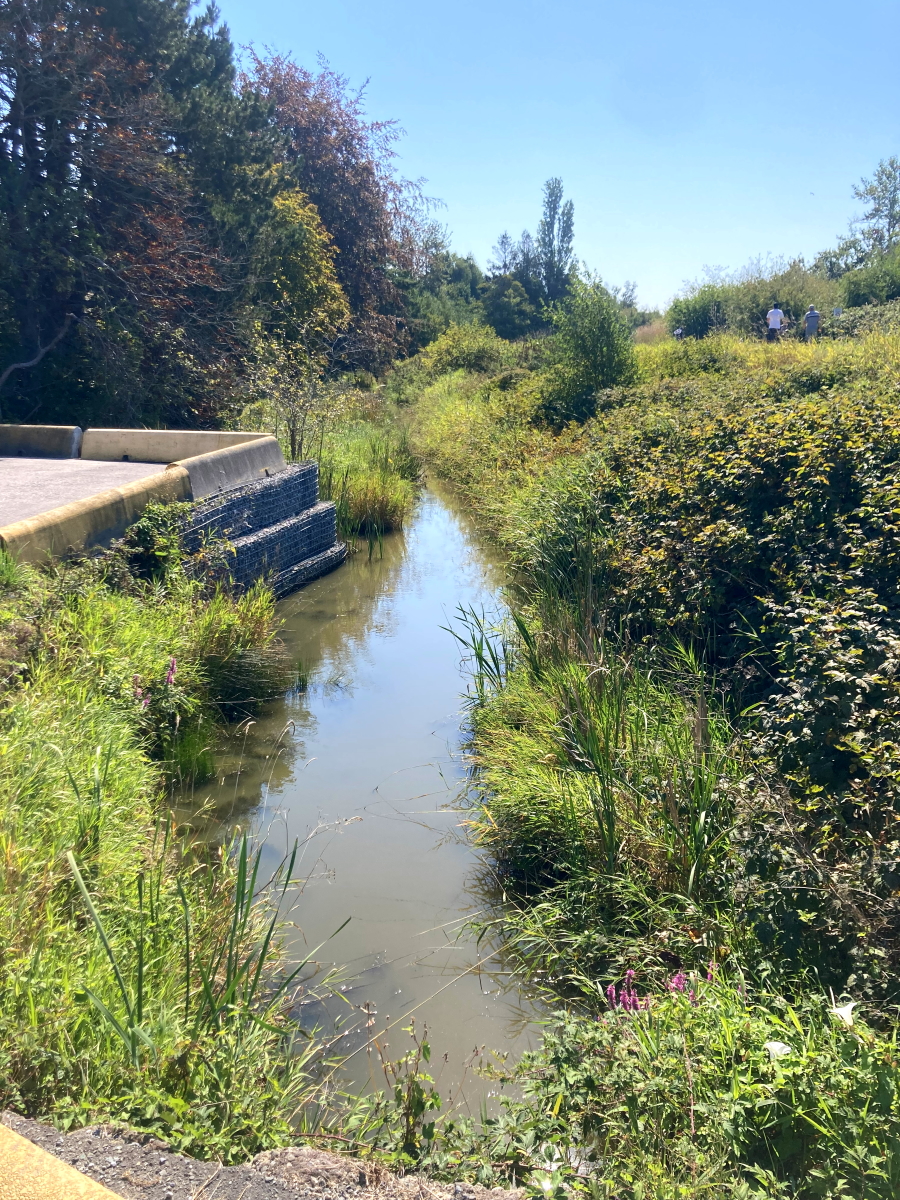
I imagined Tamsin in a part of Edinburgh that perhaps she didn’t visit often or didn’t know as well as other parts, seeing streets as if a foreigner. I felt a sense of many more residents walking those backstreets, an urban bustling that was perhaps more evenly spread out than what I experienced. I imagined the shift from moonlight to daylight and back. In this unfamiliar setting I found it a bit easier to receive impressions and ideas than to transmit my own, though I certainly tried.

Kristina’s poem

Moooooooon 
Light and bright, it hypnotizes and drags crowds to its orbit, hands rearranged to hold the moon up in the sky

Stepping stones. Cobble stones.

Open. Kien. Café & kimono bar. Beer & coffee.

Mushi mushi, Japanese kitty! Oh you are a shy kitty. Off on your Night business my friend. I love you. Sayonara.

“I have no idea who James is.
And now it’s available. awesome!”
Siren-like tones ring
Ding ding ding ding at Level crossings clang clang every three minutes.
Dog walk bark

Then. So quiet
Leaves whisper and the chirp of crickets
Chirp chirp chirp
sussuration, or stridulation
words I just learned
One of my favourite sounds to sleep to

Is everyone tucked away at home or are they out on the town, eating drinking fun in a Myriad of tiny spaces where you can get a fresh botanical soda or an experimental music tape or Ramen handcrafted by a man who lives upstairs or take a selfie in front of the moon projection

“You really feel like you’re somewhere different”

Play table tennis
Recipe shimokita
Caution crows
Underground rock Café stories

Just One Cat
Up To Per Person

DING DING DING DING

Prohibitions and manners around Shimokitazawa Station:
No smoking
No littering
No graffiti
No street vending
No parking
No skateboarding
No nuisance

“And so many even, oh!”

bird song or the hum of an air conditioner or the whistle of an exhaust pipe or a tiny delivery van, the silence of headphones.

Clang. Chirp.

And now it’s available. awesome!

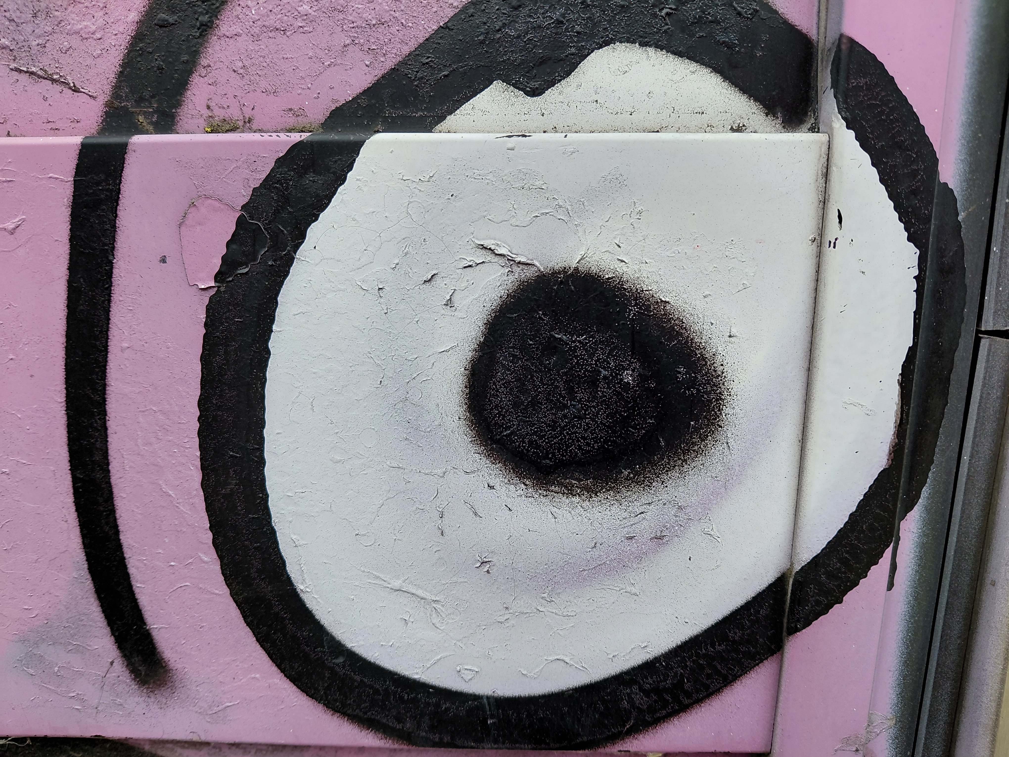
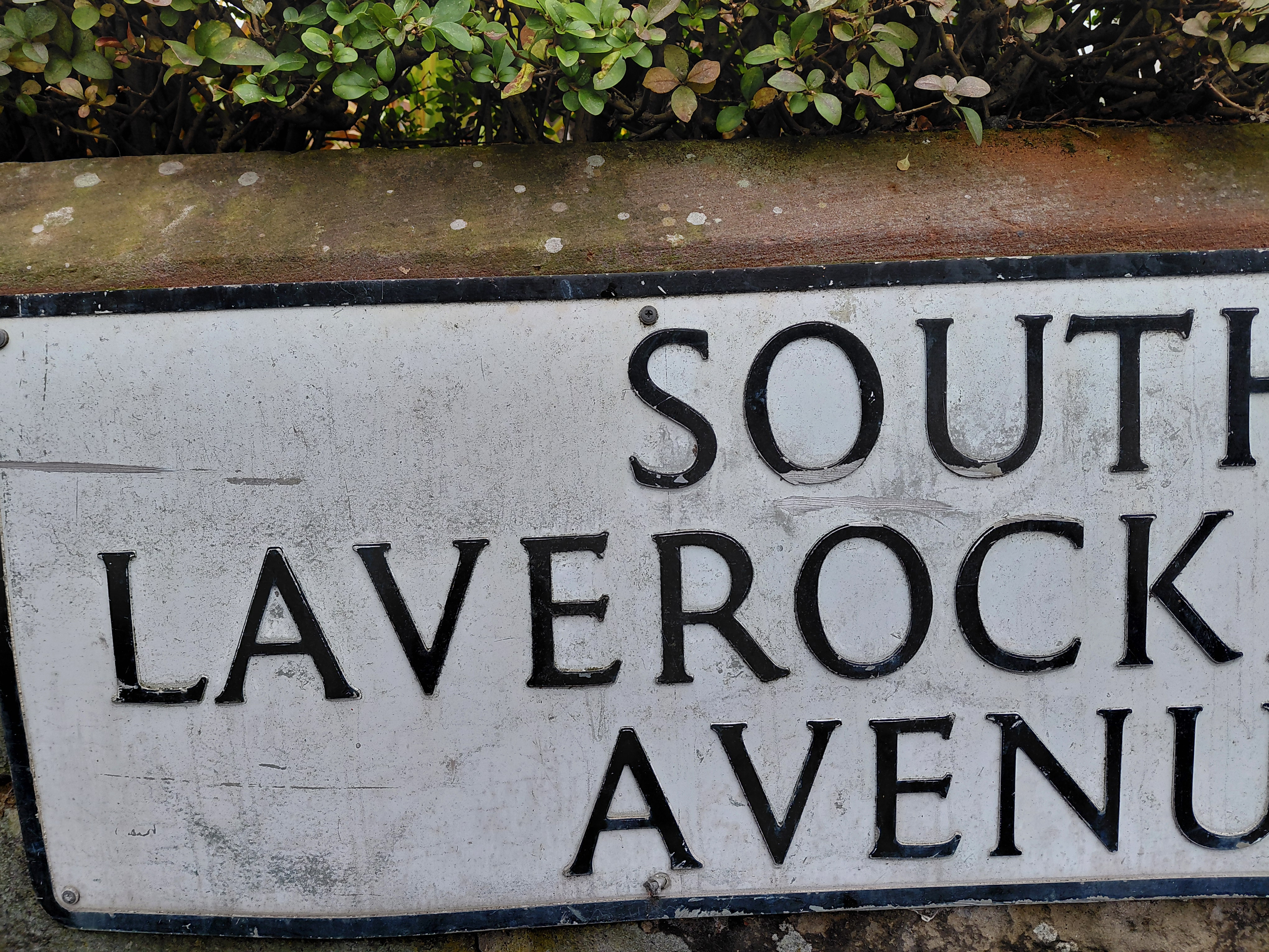
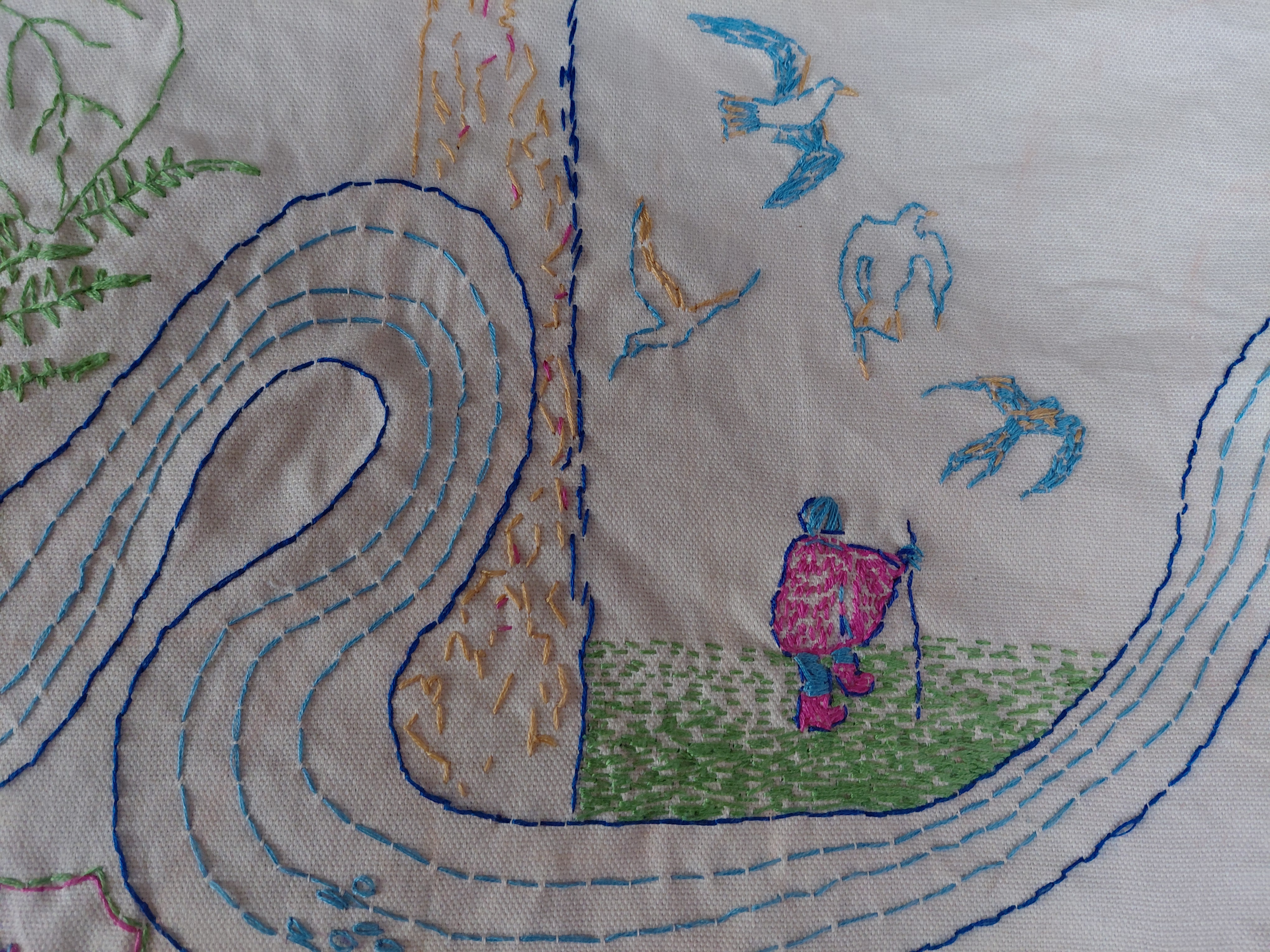
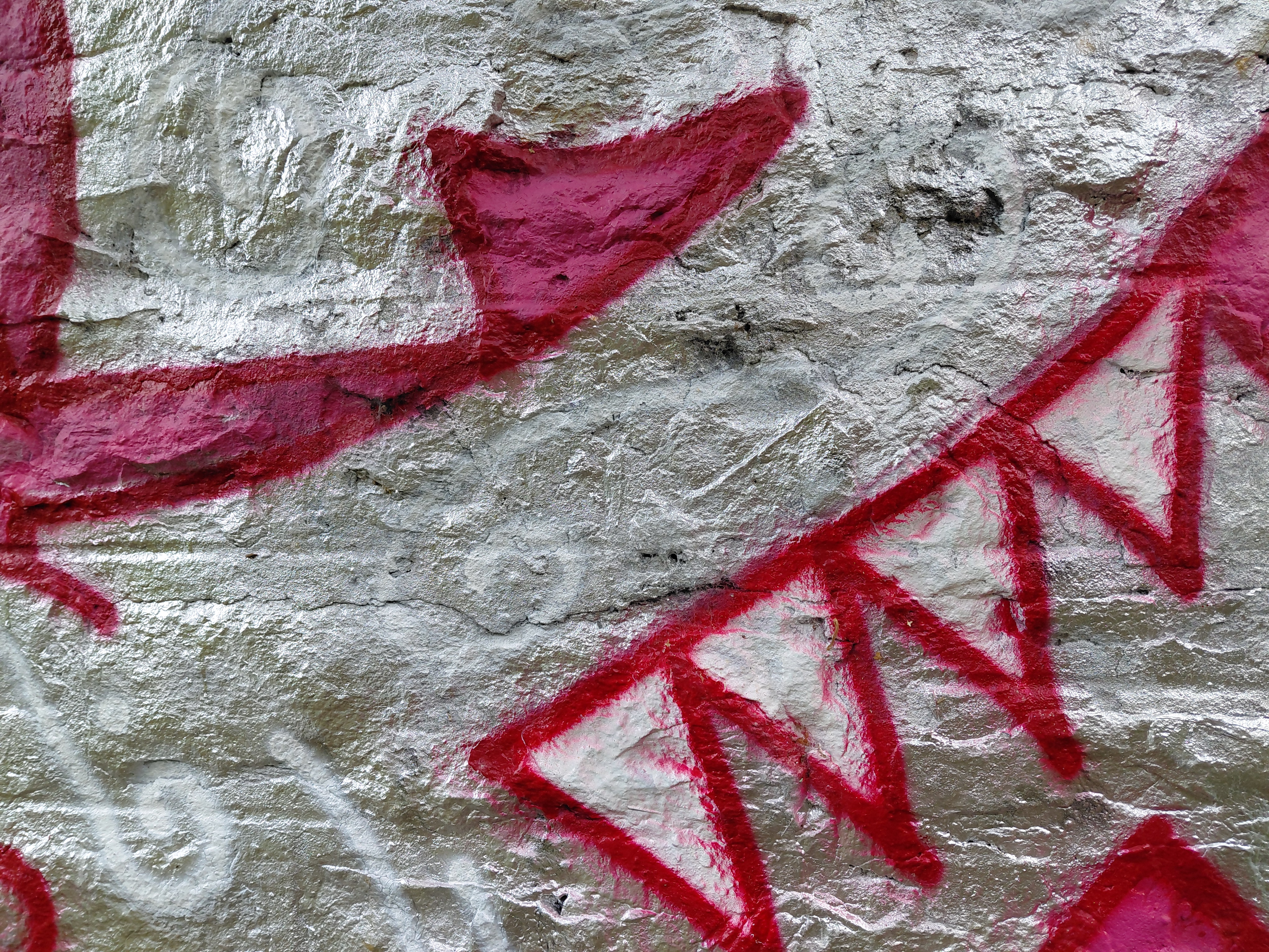
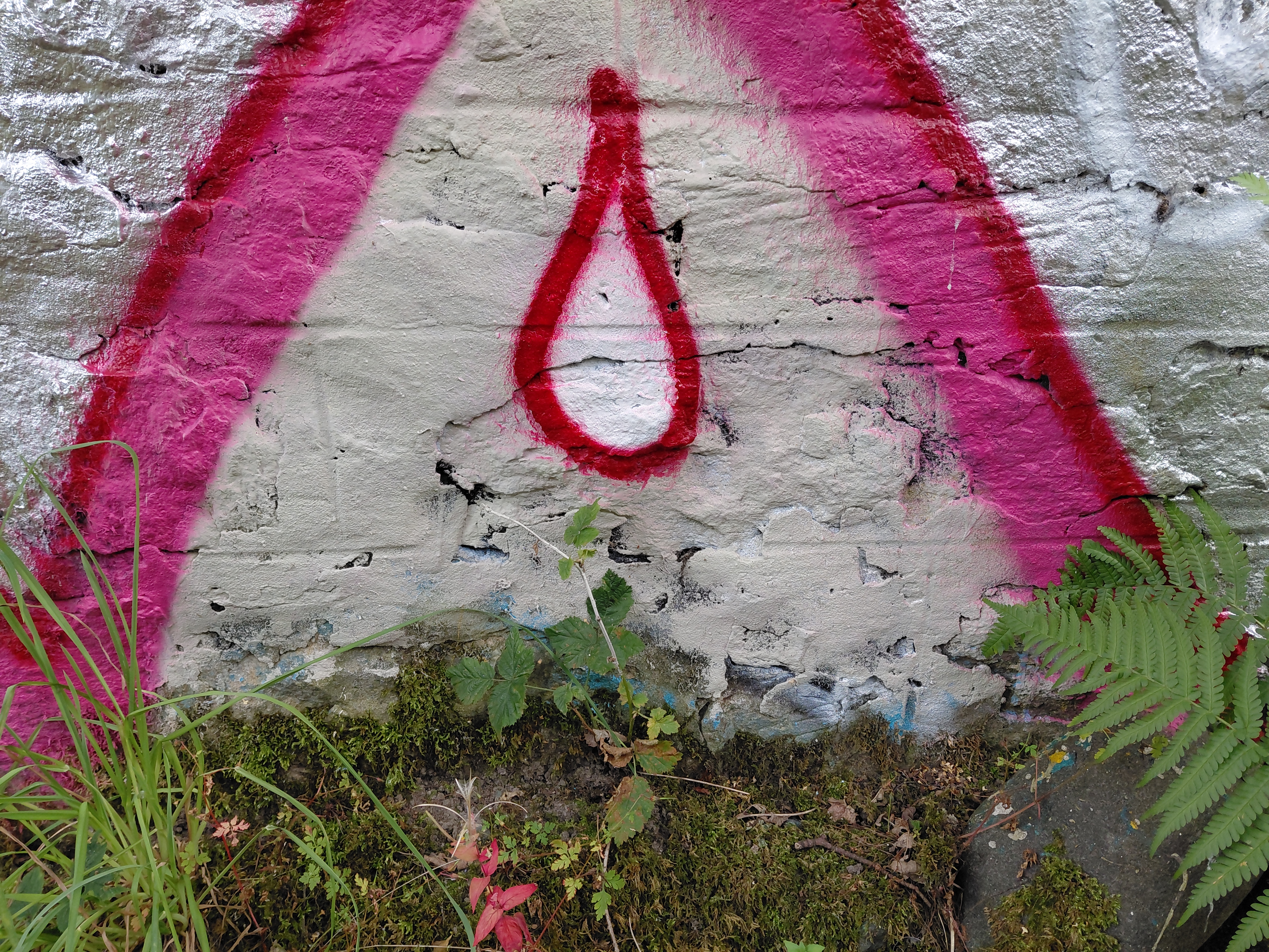
Three images above by Tamsin: U or a smile; hoolet’s eye; Laverock – skylark

Tamsin’s walk (parts 2 and 3)

11.30am 
///galaxy.belong.eating *
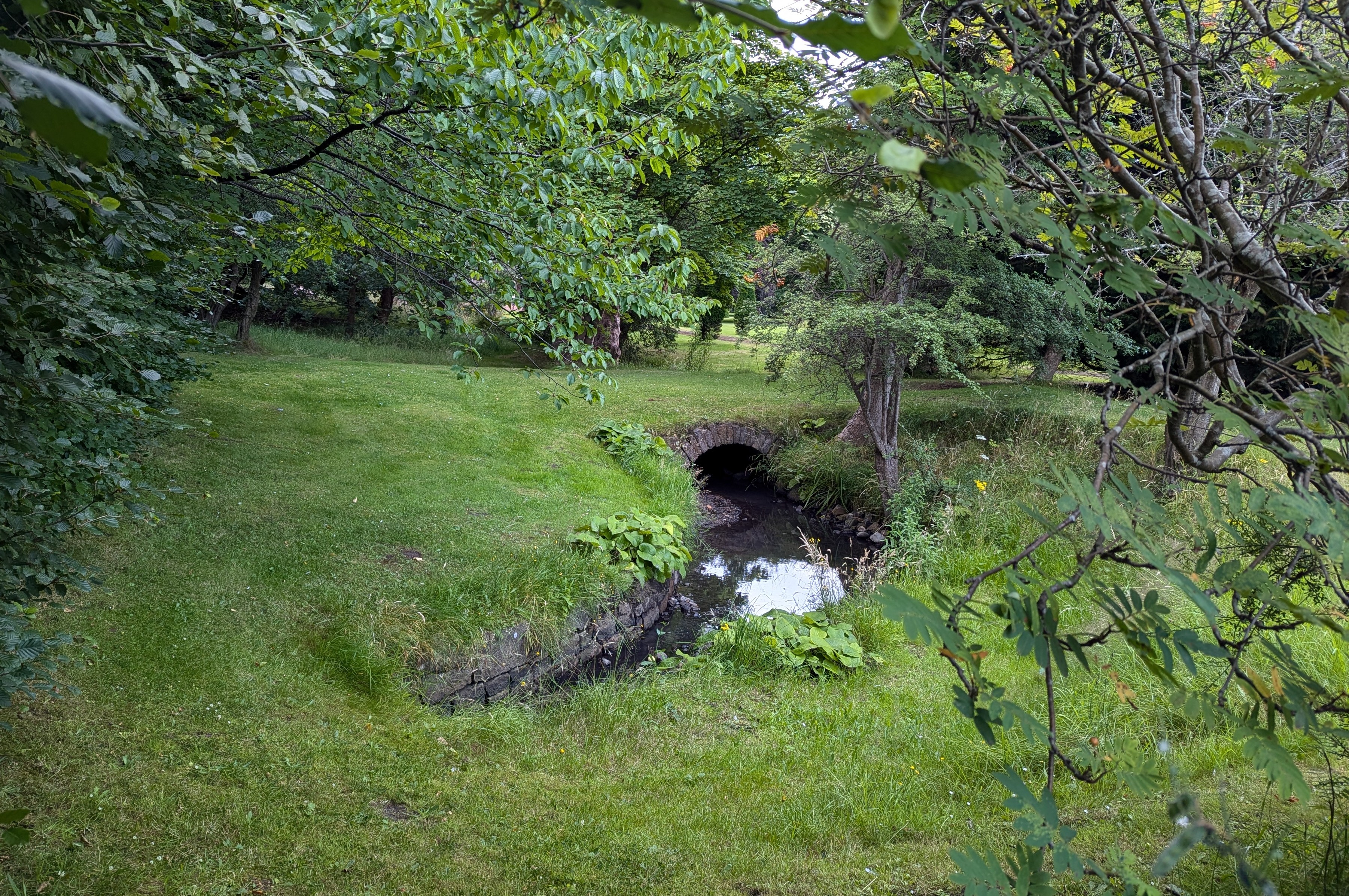
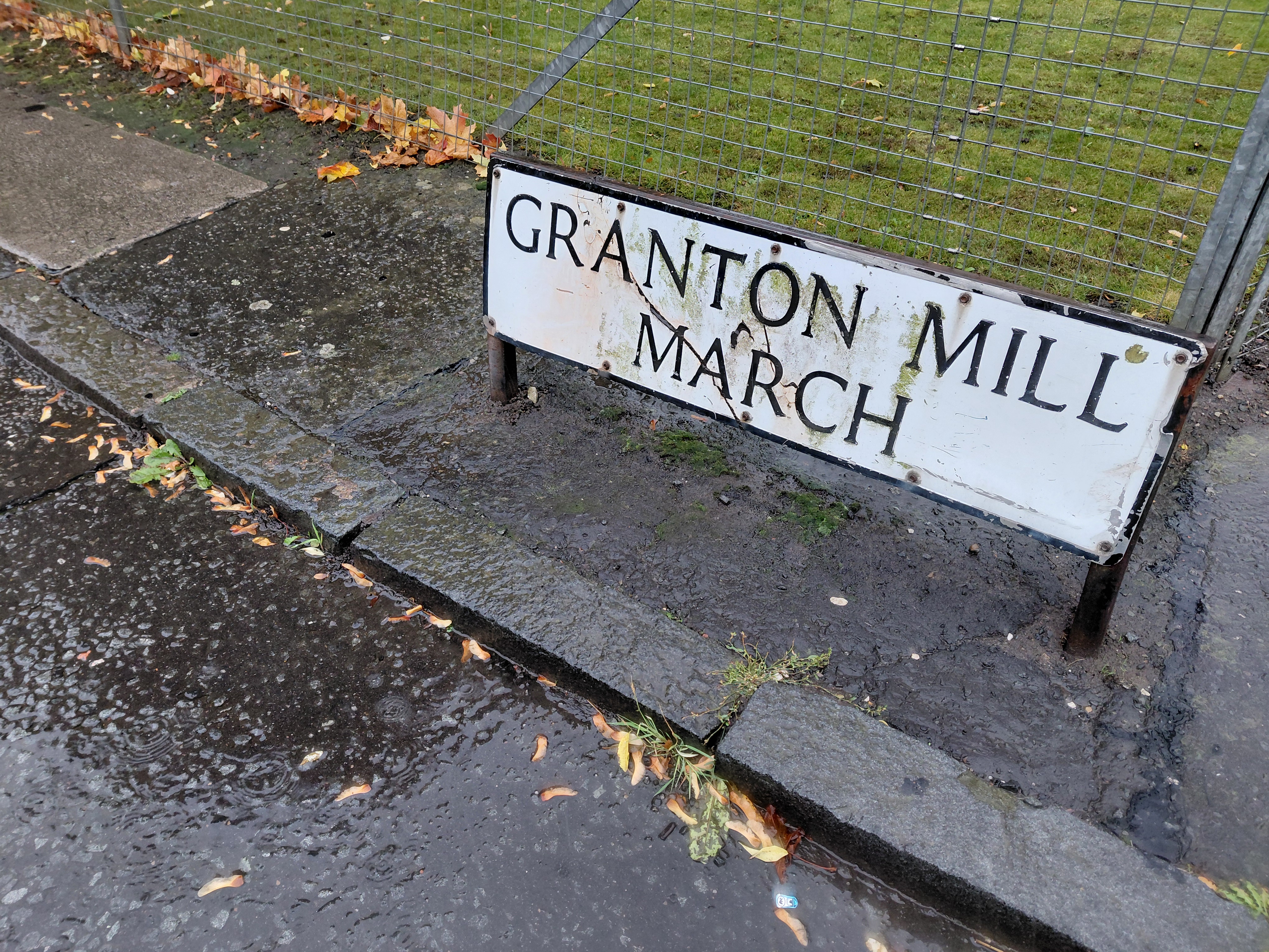
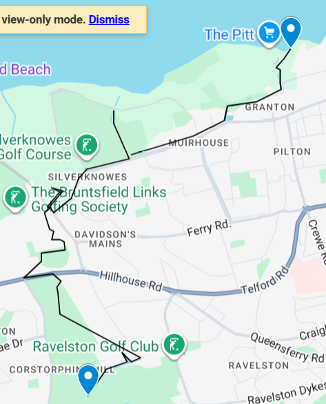
U (or is it a smile?) And me walking. T’wit t’woo Owl - hoolet in Scots. Circular O, eyes seeing, not in the dark, but across space, from Scotland to Japan, Tokyo to Edinburgh. You to me to you. And back again. Up a long straight street, I turn left and head into a busier area. South Laverock Avenue – Laverock being Scots for skylark - the birds are not heard here nowadays, nor, I suppose, where you are in downtown Tokyo. In the past, though, it used to be a favoured spot for larks, so an 18th c merchant named his house after them and now there’s a whole area called Laverock this and that. Like the lark singing and spiralling up high, I’m signalling to you, seeing if your thoughts are uppermost so I can detect them, looking, linking up these two walks with our feet, time, and intent.
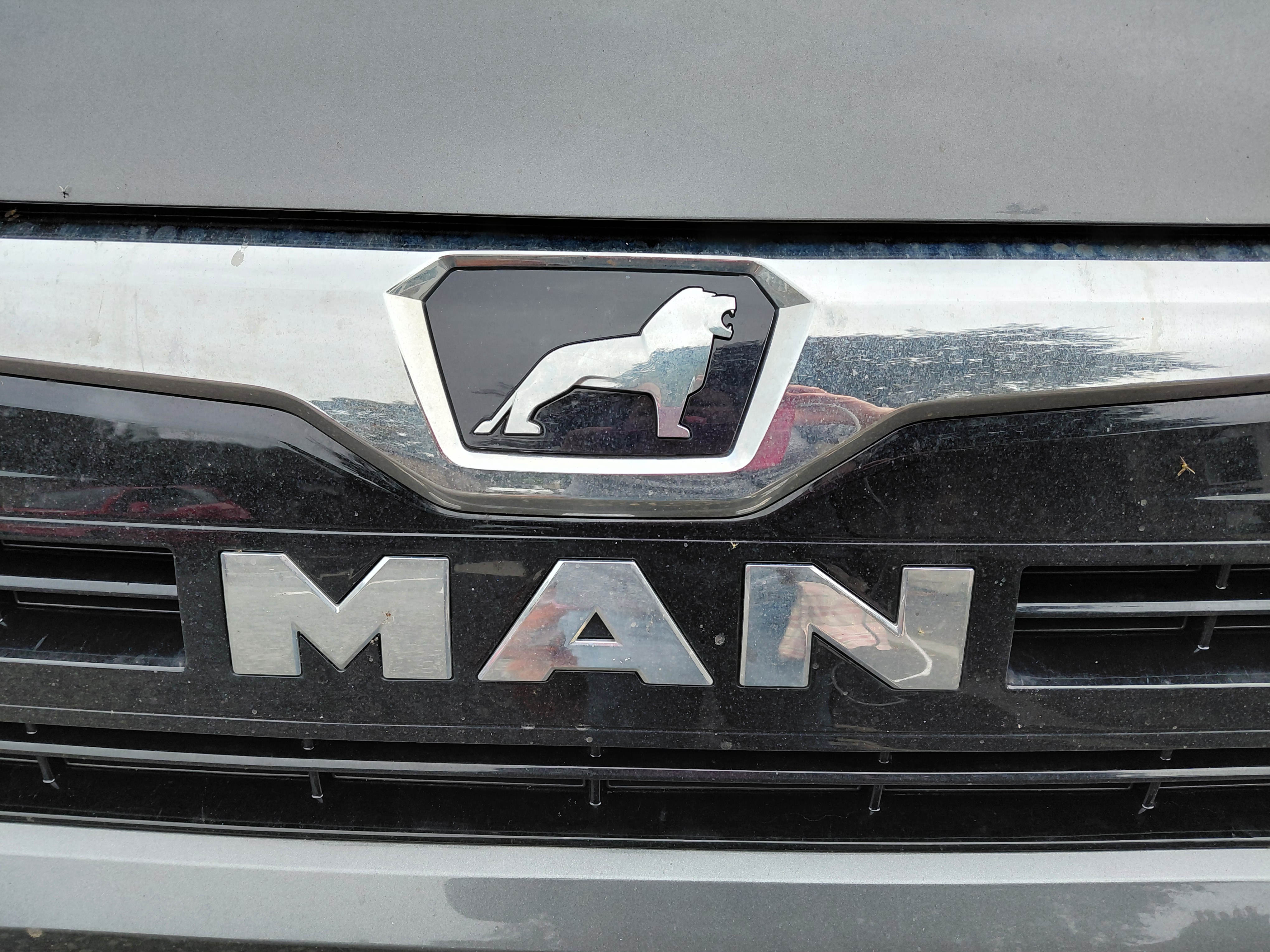
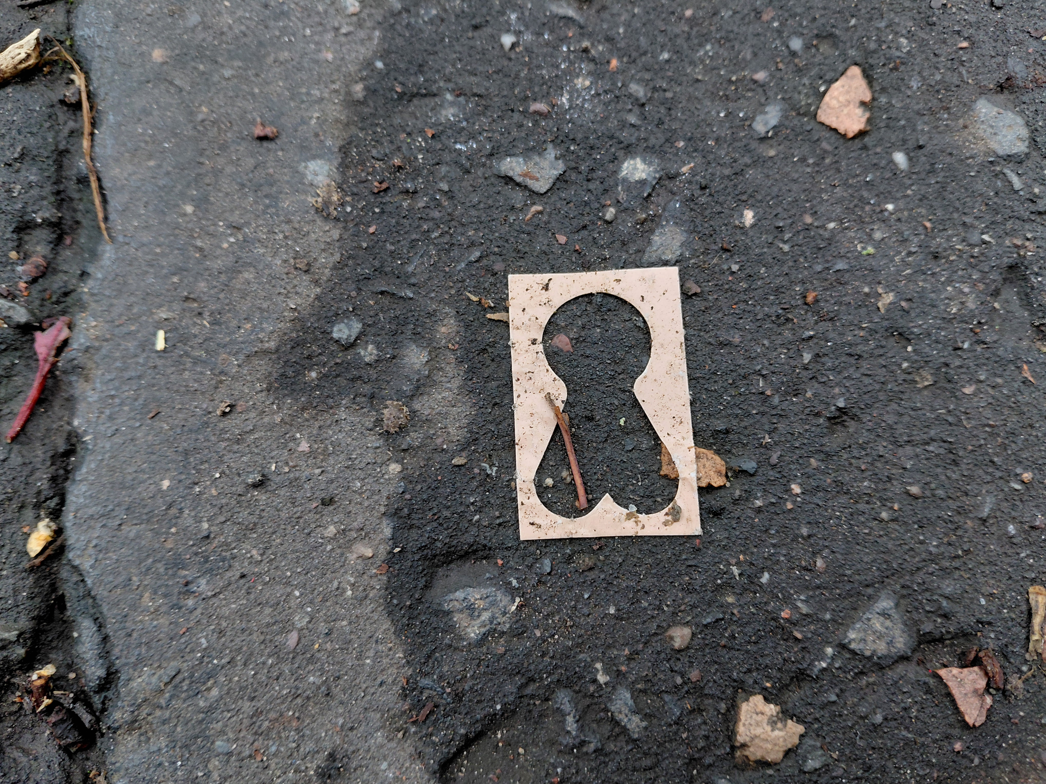
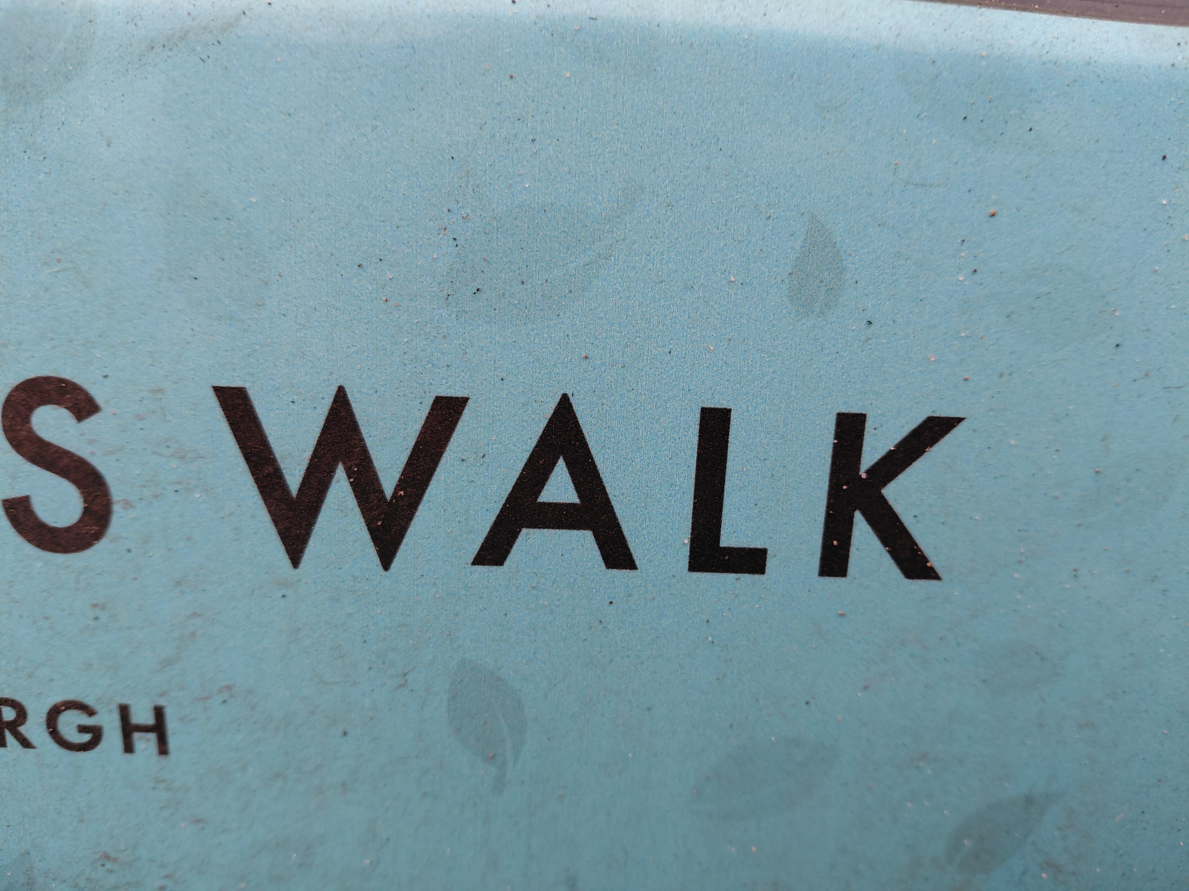
Three images above by Tamsin: MAN; mans profile; SWALK (sealed with a loving kiss)

12 noon
///roofs.asking.sulk
White ring with a black centre and an arc to its left. Second silhouette of a male head in profile (previously, MAN on the front of a car in strong, square, manly letters with a roaring lion logo, in case we don’t get the picture). I'm on a busy shopping street with lots of cars and outlets. The next shop flirts with me: ‘Hello Gorgeous’. Walk In, the hair salon says, but I don’t. I’m headed to a café: Sketchy Beats (you started at one in Japan, I’m ending at this one) arriving at 12.05. It was shut.

A little further down the road a shop read, ‘Tokyo’.

Links

Kristina Rothstein on Bandcamp

Walking in Pairs is a Walking the Land project

* /// denotes What3Words – locations of the walk

The Granton Burn, from hill to sea

This original stitched map (November 2025) shows the route of the Granton Burn, rising at the top of Corstorphine Hill not far from the Scott Tower, and flowing down to Royston / Granton / ‘The Brick’ Beach and into the Firth of Forth.

Imagine you are buried in the ground up to your armpits! This is no bird’s eye nor drone-view. The map foregrounds the river itself, looping above and below earth level, and features many examples of local wildlife, flora and fauna found in the Granton area, from a curlew and fox to ragwort and flat oyster shells. Together with the people and the soil itself, the Granton Burn and more-than-human lifeforms are who and what are indigenous to Granton and should be respected as such.

The embroidery above shows a moth, fox and traveller on foot

The map shows the Granton Burn rising at Corstorphine Hill near the Scott Tower, flowing under rocks (famous for their cups), woodland (oak, birch, ash and here, Scots Pine), and grassy hillside and flatter land (where someone walks, reminiscent of the figure in the VIII Cups tarot card designed by Pamela Colman Smith). There are buildings which relied on water – amongst others, a mill, the sphinx from Madelvic House (home of United Wire and the Electric Car Company), Mushet’s iron works, the Northern Lighthouse Board building (1860s), and the iconic Granton gastower (recently painted and decorated). The latter is also part of an imaginery Granton coat of arms which features the Granton Tortoise (story here) and the Latin script, ‘Ambulans ut Testudinis’ (Walking Like a Tortoise) referencing an earlier walking art project.

The map is embroidered in the colours found on the 1835 Bartholomew map and the 1867 Parish Johnston Plan, and the sea is stitched in different colours because, I have been told by many residents, it flowed sometimes pink, sometimes other hues according to which ink was being dumped in there by local company, A. B. Fleming.

The mouth of the Burn is that particular jagged shape as seen on the Edinburghshire map of 1914. It is unclear exactly where it is nowadays, but is likely to be close to the sewage pipe. Certainly the drains beyond the Sea Gate of Caroline Park frequently overflow, meaning that the Burn streams along the road.

Caroline Park Sea Gate near where the Granton Burn flows, Edinburgh

Other embellishments come from a variety of sources. The arrows can be found on the weather vane on top of the lighthouse, and the north-point of the compass from the Drainage Plan of the Edinburgh Leith and Suburbs map, 1867. And I measured the route in my human footsteps (the walk from hill to sea was approximately 9000 steps) which, according to the scale of this map, is 1:42.86.

The small boat on the right of the map is similar to Geddes’ on his Valley Section (see below) with two people sitting in it, though I have given one of them a fishing rod (an age-old local industry) and the other a pilgrim’s staff with a gourd on top. The 11th century St Margaret ferry used to take pilgrims across to Fife from South Queensferry so that they could continue to walk to St Andrews. Other sea routes, and the Esparto Grass which covers the harbour, refer to the intercontinental trade which exported coal, bricks and so on, and imported goods and people, including grass for the mills along the River Almond and the Water of Leith.

Granton (Royston) The Brick Beach, Edinburgh where the Granton Burn issues into the Firth of Forth and North Sea

I have wanted to walk alongside this burn for a long time because it is said that it forms the western definition of Granton itself. Although it was quite clear where the second-to-last section is, as it can be seen clearly flowing above ground in the Caroline Park Grounds, and other nearby parts are also visible in Forthquarter Park, the rest of it is now mostly hidden below buildings and there are no maps showing it as far as I can find. (It is noteable, however, that the ‘new’ Scottish Gas Headquarters flooded and the grass nearby is soggy all year round whatever the weather, so it is most likely that the Burn flows under those places.)

The owner of Caroline Park suggested that it rose at Corstorphine Hill, so, armed with my research from old maps and local anecdotes, I went there to look.

You can see the thin wiggly line of the Granton Burn from Caroline Park on this old map, but it stops just south of what is now West Granton Road. Notice that there is no Granton Harbour, so the map predates the 1830s

Above photo: The Granton Burn, Caroline Park

I believe that I found the route of the Granton Burn using my sense of the water I’d previously met, as well as the resources I’d compiled. I knew it’s energy in the same way that I have been practising knowing people’s energy (or chi) through my Shiatsu bodywork for over 30 years. I certainly found a small river, wetland plants, and banks along the line I’d tentatively drawn on my own map. 

Above, you can see a channel and the banks of a stream, and there were also reeds and, in a few places, water gushing out of holes in the woods. These photos were taken by me at the base of Corstorphine Hill

I think a threshing mill used to be on this site before the housing estate was built. Granton, Edinburgh

As I slid along pavements slippery from the pouring rain, I came across the area named Granton Mill with which I was familiar from earlier forays. Of course! A mill would have needed water, I was on the right route!

This work of tracing the Burn gives it power and I felt it. I recognised its distinctive voice.

My route and the approximate route of the Granton Burn, Edinburgh

If rivers are built over and erased from maps, does their power cease?

This map collapses time. It reinstates the river above ground, and juxtaposes past and present. My walking the Burn in some way also restores the original boundary. For once, it’s not roads or random lines, not politicians making the decision, but the existence of the Burn itself which decides where Granton begins and ends – a gentler, more natural way that harks back to earlier times.

Illustration above: My earlier map, 2023 (pen pencil, acrylic) exhibited at Granton Hub (2023) and Edinburgh Central Library (2024)

All the time I walked and stitched, I was in dialogue with the Burn and it in turn reinforced the original route I traced for my first drawn/painted map.

Photos above: Corstorphine Hill (Scott) Tower (1871) and the view from the top (200 feet) towards Granton

My footsteps drew the Burn above ground, and my stitches have made it manifest in fabric in the tradition of map makers of many sorts from the past. I’m thinking of the Sophia Mason 1802 map of England and Wales that’s in the Library of Congress in the US, the cross-stitched 1940s maps made by children, the Gough Map on vellum, or the circular TO Mapa Mundi. This is a way of stitching time, fixing one person’s view of a place on a specific date.

The Granton Burn map was made in response to an invitation to give a lecture for the Scottish Historic Buildings Trust (12 November 2025) as part of their Autumn / Winter series, alongside Dr Jonathan Gardner (an authority on Waste Heritage) at Riddles Court in Edinburgh. The map is currently on show at Riddles Court, alongside the stained glass window of Patrick Geddes’ Valley Section. Thanks to Ed Hollis for the initial invitation and the excuse to make the work and artwork for the event.

Thanks

This project benefitted from the help of many, in particular Scott Macintosh from the Friends of Corstorphine Hill, Catharine Ward Thompson and Suzanne Ewing, both from The University of Edinburgh College of Art, who and shared their time and valuable resources.

I have made this map for, and dedicate it to, the community of Granton in all their variety and form, past and present, amongst whom I live.

There and Back

A walk to celebrate the Autumn Equinox on Monday 22 September 2025, 5.30-7.15pm meeting at The Pitt. Booking link

At the Autumn Equinox, there is balance between the daylight and the dark. As we celebrate and embrace this momentary state of equilibrium, let us take a deep breath. Transformation and renewal will come with the start of the season, so this is a good time to pause, walk, and notice what’s around us.

Meeting at The Pitt, Granton at 5.30pm, we’ll say hello, then walk in pairs towards Silverknowes, and back again. When we get back to our starting place, we’ll have some refreshment and discuss what we noticed. The event will end at sunset (7.12pm). Let’s hope it’s a clear night!

This is a flat walk on a hard surface and therefore wheel-friendly, whether buggy, wheelchair, stick or other. There are stands to lock up your bicycle at the start. Buses stop some way away: try 16, 19, 22 and get off either at Granton Square or the foot of Waterfront Avenue ///nail.served.dizzy or near the top of Spiers Bruce Way (bus top acid.pulse.cloth) and walk down.

I’m describing this walk as a Community Walk because we will walk together. All adults (and accompanied children) plus dogs are welcome. You do not have to live in Granton!

Please bring refreshments – I will provide chocolate/fruit.

This event is free to attend, though a donation of £5 per person would be gratefully received.

Walking in Pairs

This is a new collaboration between Kristina Rothstein and Tamsin Grainger where we walk together, apart. Kristina is in Vancouver, Canada, and I am in Edinburgh, Scotland.

Last week, we walked at the same time as each other, despite the time difference of 8 hours and having only spoken together once online. We didn’t exchange maps or describe where we were going, but agreed that we would walk on edgeland (whatever that meant to us), and stop to communicate in some way at 30, 60 and 90 minutes during our walks. We both viewed and listened to each other’s work before we began. Our interest was in the process, experience and outcome of such an experiment, whether we would find that there were any cross-overs or influences, despite the geographical distance.

Kristina walks in Vancouver

Kristina writes: I began my walk at a parking area (///swimmer.behaving.sailor) where the middle fork of the Fraser River meets the Straight of Georgia (Pacific Ocean). I followed a multi-use trail along the dike. When possible, I took unofficial trails that skirted closer to the intertidal flats area, passing through some thickets to where the ground becomes watery. My first intervention happened there. Leaving the path felt right. My second intervention was on the gravel dike path, where a long row of tall trees lines a golf course. My third intervention occurred where a residential road dead-ends at the trail, with a rural park on the other side.

Tamsin walks in Edinburgh

Tamsin writes: I began my walk at the intersection between land and the Firth of Forth (///kinks.coats.salsa), an estuary of the North Sea at the edge of the city of Edinburgh. I followed the Eastern Breakwater, the right arm of Granton Harbour. This long, stone wall (would you call it a dike?) is raised above the sea and divides the calmer waters where the yachts are moored, from Wardie Bay which is used for wild swimming. The Breakwater travels directly out to sea and then bends left, eventually coming to an end where the ocean surrounded me on three sides. A graffiti-covered structure stands sentinel. ‘Silence’ I read to myself. I looked down to the skirt of stones which appear at low tide around the base of the wall and saw a fisherman casting his rod. If he was aware of me speaking into my microphone to Kristina, he didn’t show it.

KR: I looked at the land differently, with a focus on transmitting to Tamsin, my walking partner. Carrying her with me psychically changed my relationship to the landscape and my experience of the place. It did feel like I had a passenger. I imagined seeing things through her eyes and also tried to imagine her own edgeland superimposed alongside mine and what she might be seeing and thinking. This one to one connection felt very different from walking remotely with a group. I thought about allowing myself to flow and seep into my walking partner and I opened myself to receive signals.

TG: I was pleased to walk with Kristina as my companion. I had the phone recorder on most of the time so I could share the sounds of the landscape with her. I chatted away as if she was there beside me. Not knowing what she was seeing and hearing, I trusted that our connection would bring about some synchronicity. I actively merged myself with my imagination of her, attempting to walk in time with her footsteps, and see my views through her eyes.

Drainage Ditch, Kristina Rothstein, Vancouver, Canada

KR: This is a trail I walk or cycle on infrequently. There were more borders and edges than I remembered: the line of a golf course and houses, a drainage ditch, the dike, a border of brambles and rosehips, the tidal marsh, the sea.

Breakwater, Tamsin Grainger, Edinburgh, Scotland

TG: I’m familiar with this walk, can actually see through the window if I stand on the edge of my bed. The Breakwater cuts a clean line into the sea, dissecting the outer limit of the city and points a crooked finger towards the far shore of Fife. Before the harbour was completed, in 1863, the shore showed on the maps as a smooth curve. Now, I like to think that we reach out and gather people into our arms (as the nation of Scotland welcomes refugees and people seeking asylum), extending our limits and, hopefully, opening our minds beyond borders.

KR: It was late morning for me, on a clear sunny day. I passed a lot of walkers and cyclists, saw and heard many birds including a flock of herons and a lot of airplanes and seaplanes. I liked using this vague prompt to begin. It would be interesting to see what happened if a more detailed idea of the walk was given ahead of time.

TG: It was a very fine evening – unseasonably warm, though breezy as usual – and a popular place to be. Planes were banking overhead, then soaring towards the airport. I counted at least eight different languages being spoken, evidence of this multi-cultural area. I met a local friend walking with a visitor, who was delighted when I said I was walking, remotely, with someone in Vancouver, as she’d been there.

KR: “Edgeland” is not that descriptive so I don’t know whether the similarity and overlap in our landscapes was a connection or based on me knowing something about Tamsin’s work. After sharing some of our experiences I was taken by the ways in which large birds played a role. It was also exciting that we were moved to make percussive use of the surroundings, something I have not done before. Wind was a strong presence, somewhat common by water, but not necessarily. We were also both drawn to vertical structures, perhaps because they stand out on edges.

TG: What sounds and words should I include in the final recording? I wasn’t using quality recording technology (or even a sock), so the wind often drowned out my voice. There were the constant tunes coming from the bagpipers rehearsing on the Middle Breakwater. And I had also picked up a stick, using it to play persussive rhythms on various surfaces in time with the regular pace of my footsteps. Listening to my commentary afterwards, I was reminded of the line from the Twelve Days of Christmas, “Eleven Pipers Piping” and following that thought thread, I wrote the text, juxtaposing it with the found sounds of the environment. It was only later that I discovered Kristina had also picked up a stick and played it. Then I wished I had included it in the final cut!

Listen to the Sounds we made in response to our walks together, apart

We both hope to repeat this Walking in Pairs, exploring different landscapes and experimenting with various briefs and prompts to see what happens when we walk together, apart.

This is a Walking the Land project.

The Rough Wooing

This short film (just under 4 minutes long) was made for the Walking the Land August First Friday Walk. Zoe Ashbrook provided the prompt which, for remote walkers, was ‘A Familiar Walk Through Fresh Eyes‘.

Here is the film on Vimeo.
Poppies have long been seen as a symbol of sleep, peace and death, not, for me, a sign of patriotism, nor any sort of justification for war

I chose to walk on the familiar site of Granton Castle in Edinburgh, now naturalised wasteland to the sea-side of the Granton Gasholder, which you can see glimpses of in the film. I’d been researching the Rough Wooing, an attack on Scotland by Henry VIII (1543-1551). It was in retaliation for Mary Queen of Scots refusing to marry Edward and allying herself, instead, with France. The first tranche ruined this Medieval castle which stood overlooking the Firth of Forth, where the marauders landed.

The historian William Ferguson contrasted “the jocular nickname of the ‘Rough Wooing’ with the savagery and devastation of the war, “the English policy was simply to pulverise Scotland, to beat her either into acquiescence or out of existence,…”” and that reminded me of wars happening now in Palestine and the Ukraine. Luckily, I am geographically far away from them, but nevertheless I see and read about what is happening, and my heart goes out to the people for their enormous loss. I ask, What can I do?

So, I walked this familiar route with war in mind, inviting the landscape to reveal ways in which I might be able to get insight, to deepen my understanding of the outcome of such actions, and develop compassion for what it might be like to be in the middle of it.

You will see symbols of remembrance, Rowan berries like drops of blood, damaged household items strewn everywhere, indications of brutality, seemingly apt graffiti, what might be a grave and a tombstone, and stumps – trees and metal cut down in their prime. The soundtrack features the cries of a pair of unseen sparrowhawks, quaking poplars, the threatening rumble of a surveillance helicopter, the comments of magpies, and empty silences. (Please note that you may need to turn up the sound on your device.) There are trees which have been wounded including one that was burned, and I spent some time beside it drawing its poor body with some of its own charcoal.

Found saw, Granton, Edinburgh

Finally, I walked into a quiet clearing where butterflies, bees and other insects were alive. There is, as always with living entities, the instinct to continue, to keep on climbing over obstacles, even if you’re a tiny ladybird in a vast place. The natural landscape does renew itself, eventually, and although this is hard won and in no way negates the horror of human conflict, it was a hopeful reminder that these wars will end. Some people, at least, will learn from them, will understand that though they have been wronged, such aggression does not justify attrocity, nor forge positive relationships for the future or bring about the peace for which we all yearn.

For the record: I, in no way condone the attack on Be’eri, the Israeli kibbutz and the killing and capturing of civilians there by Hammas.