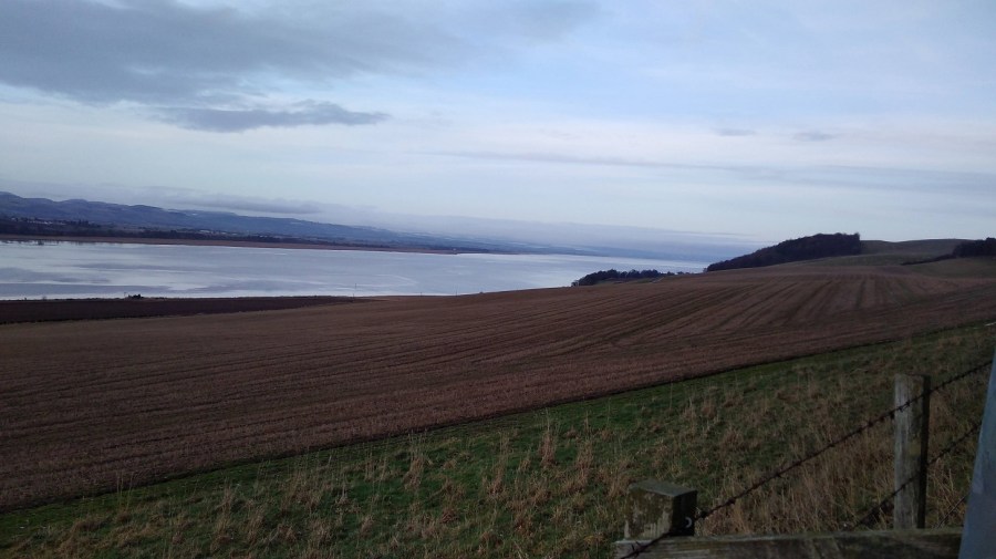
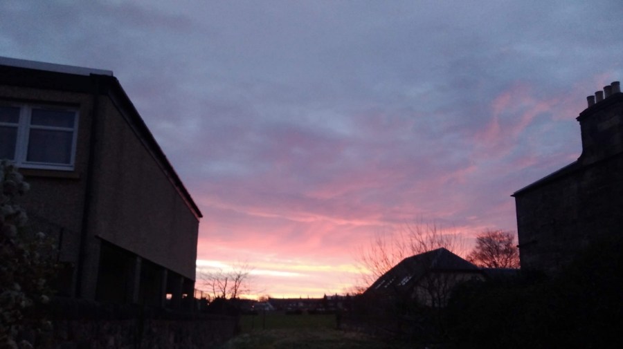
January 2020. The third and final section of the Berwickshire Coastal Path (BCP), Scotland. 25+kms (15.5 miles minimum). There are facilities at the Pease Bay Leisure Park (perhaps 6.5 hours in – the Smugglers Restaurant), otherwise, not until Cockburnspath, unless you count behind-the-bracken as a facility! It is a difficult walk for those who haven’t recently done Scottish cliff walking. Total 7.5 hours.
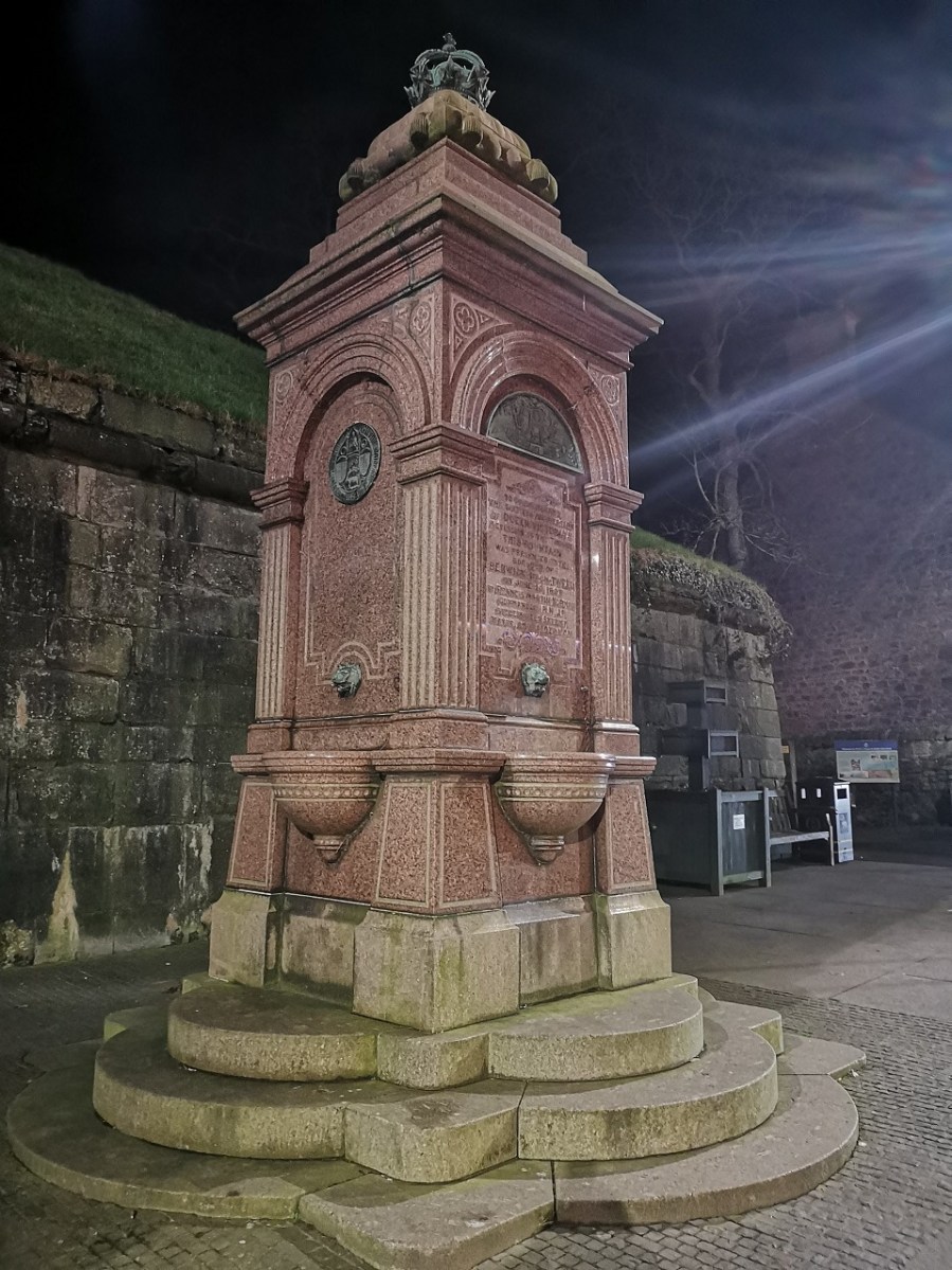
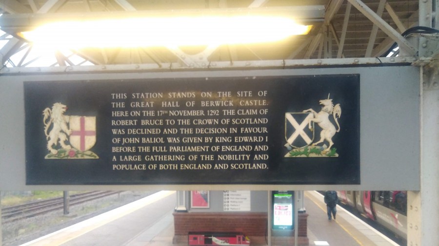
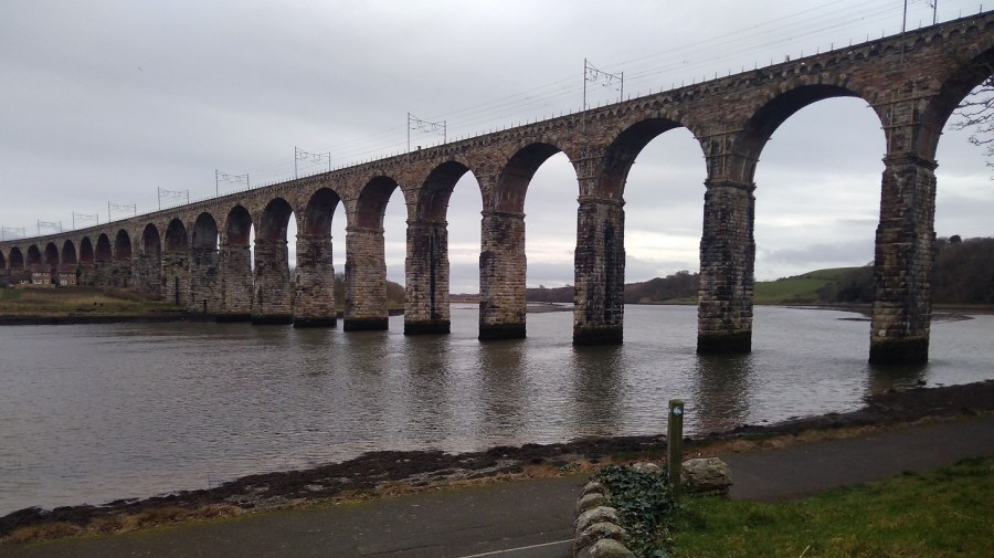
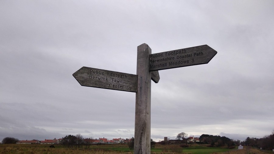
Berwick-upon-Tweed
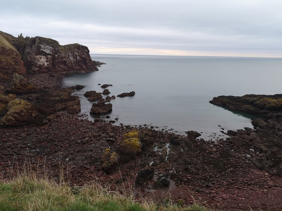
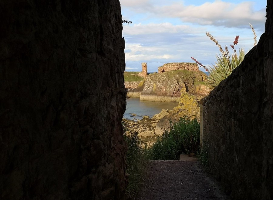
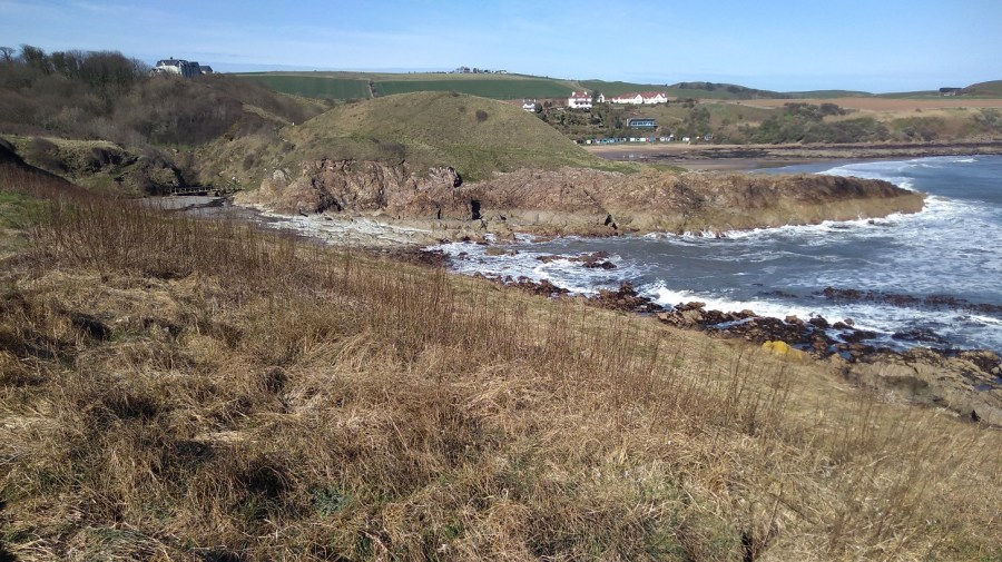
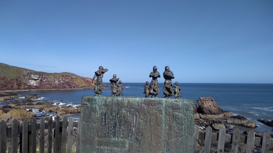
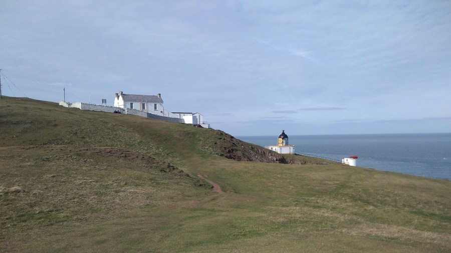
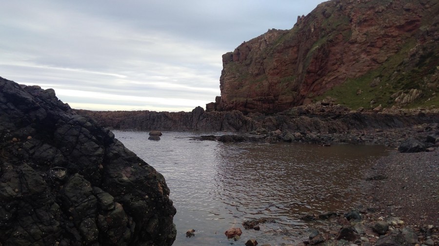
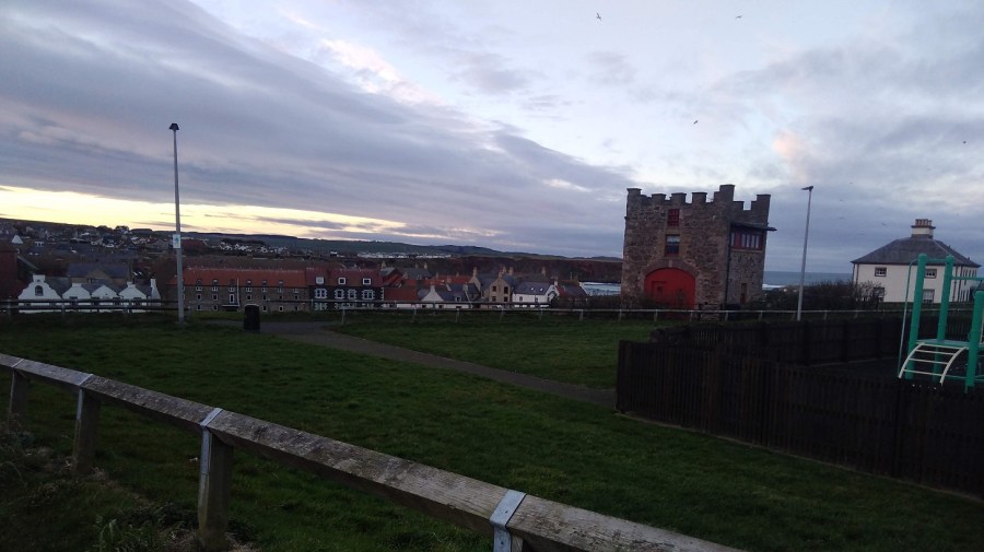
St Abbs
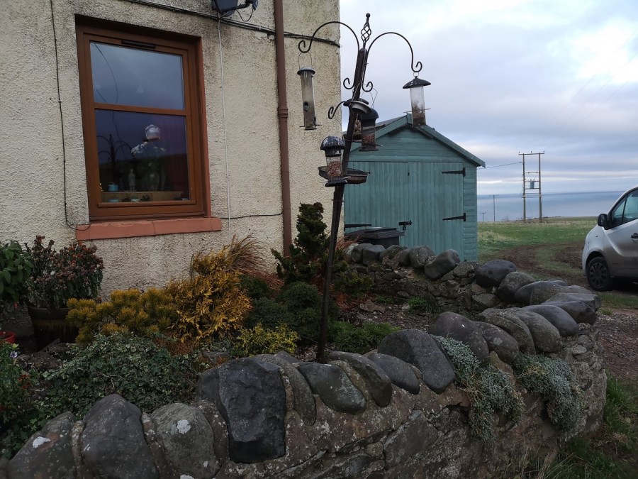
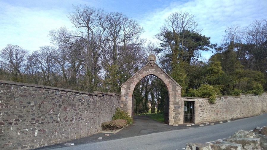
It takes quite a while to get to St Abbs from my home in Edinburgh by public transport (train then local bus), so this time I went the night before and stayed at the Seaview B&B 6, Brierylaw, St Abbs. I highly recommend it. The owners are really friendly and generous with their time, and they went out of their way to make me comfortable (I had a luxurious bath), and ensure I was well-fed.

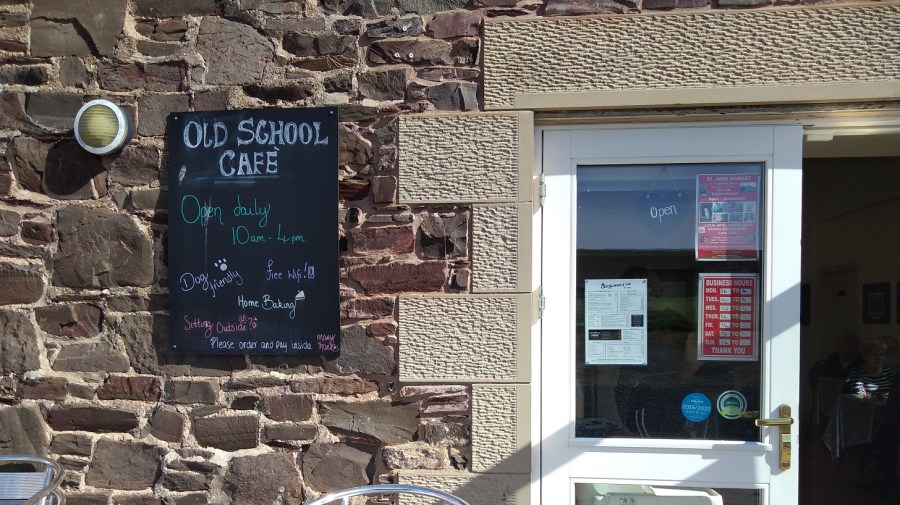
Another shoutout for the Old School Cafe at the Ebba Centre. Full story of their delicious cakes and kindness here (day 2 of the Berwickshire Coastal Path)
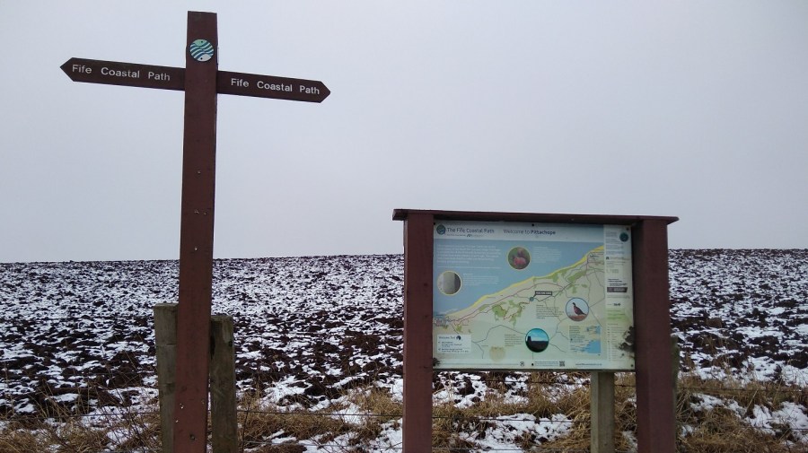
Maps and interesting facts
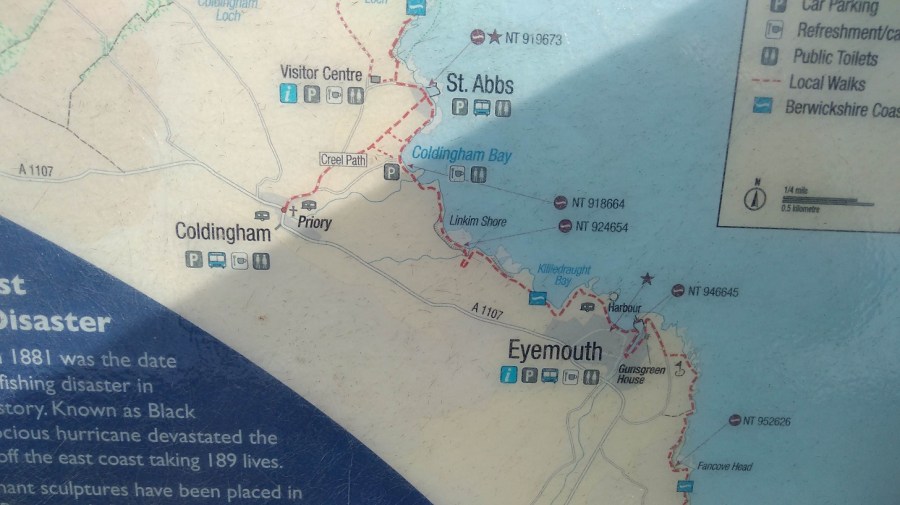
I took photos of the Ordnance survey (OS) Explorer map 346 entitled Berwick-upon-Tweed, Eyemouth, Cockburns Path etc, before I left my accommodation.


I left at 8.30am and walked the St Abbs to St Abbs Head path again. The National Nature Reserve is a paradise for birdwatchers, hikers and great fun for tiring out children. I scouted round the first little mound to save my legs at this early stage and remembered nuggets of information I gleaned from the Ruth and Barry at Seaview:
- that the guillemots are starting to return from their winter sojourn
- that you can see up to 1000 seal pups (a great piece in the Herald by Virginia Wilde about seals) on beaches near here in the season (October / November)
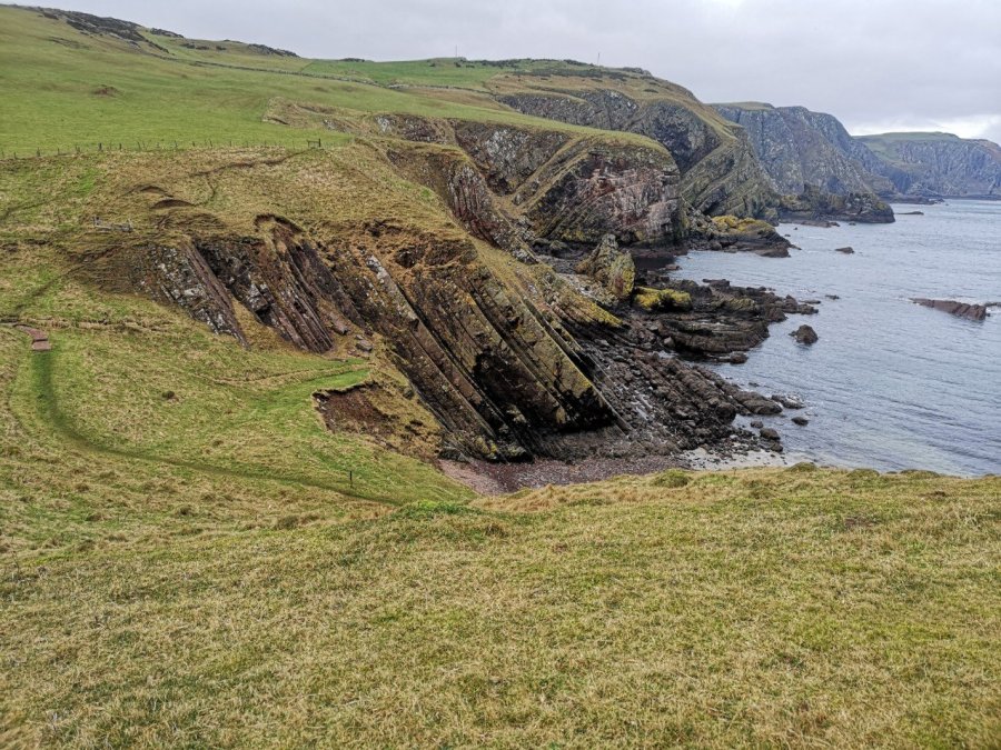
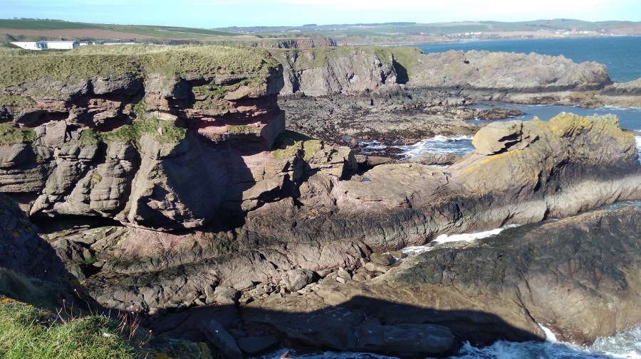
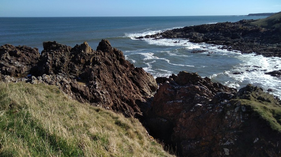
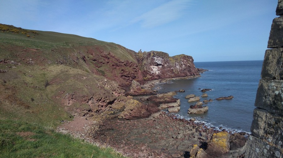
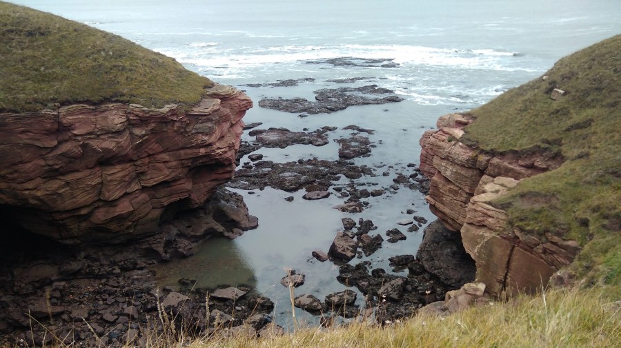
- that, ‘St Abb’s Head is carved almost entirely out of lavas, which are flows of molten rock across the earth’s surface. These lavas were sticky and flowed slowly because they are composed of a silica-rich rock called andesite (named after the Andes Mountains).’ from the Edinburgh Geological Society pdf
- that the sea cleanses west-east along the coast making for the calm waters which delight scuba divers.
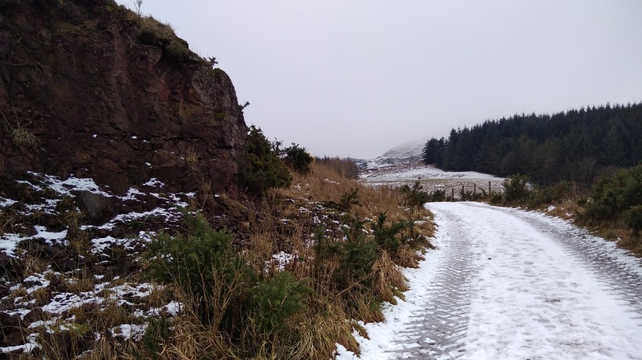
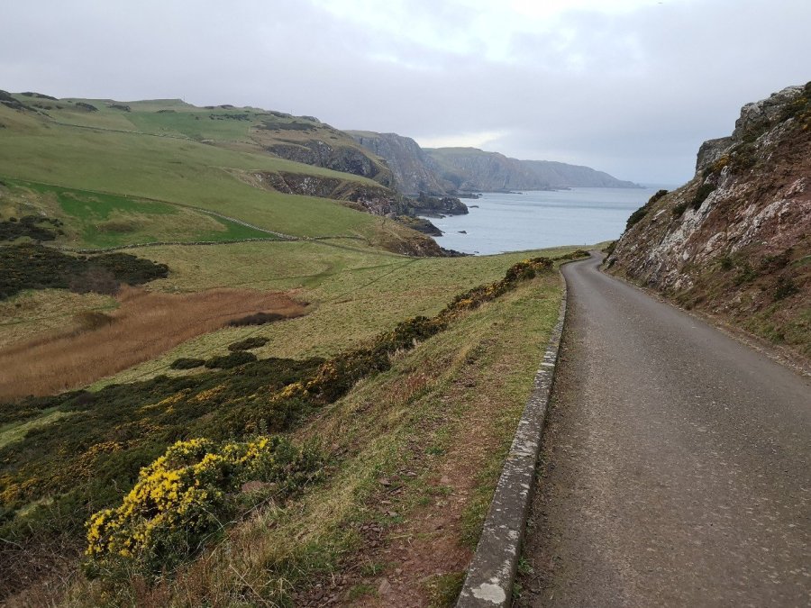
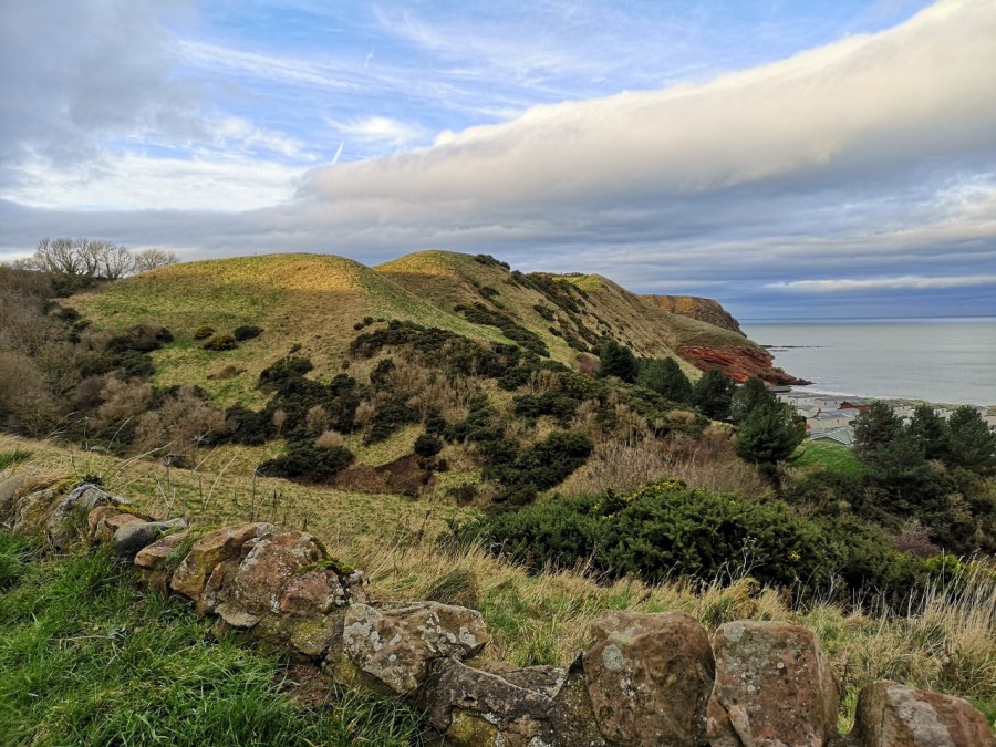
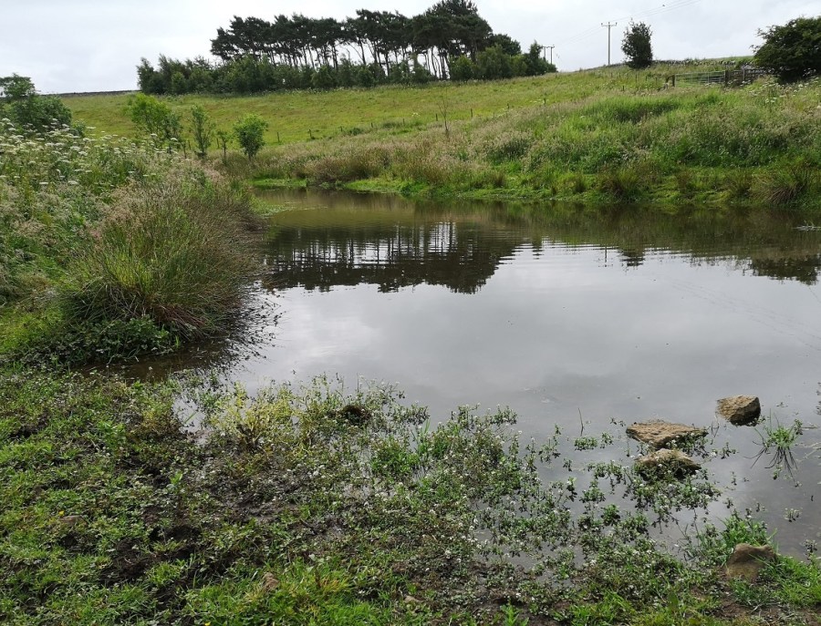
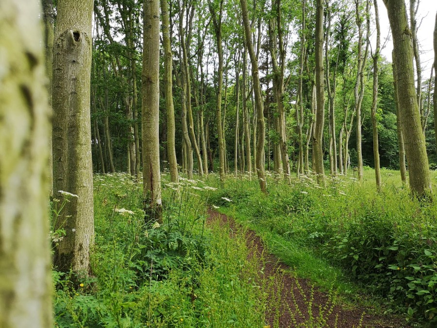
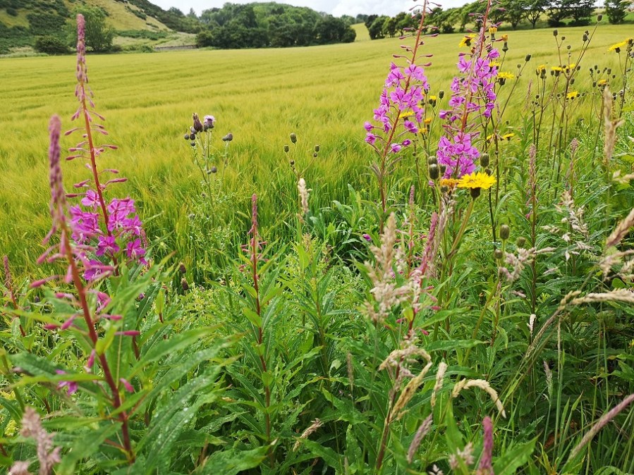
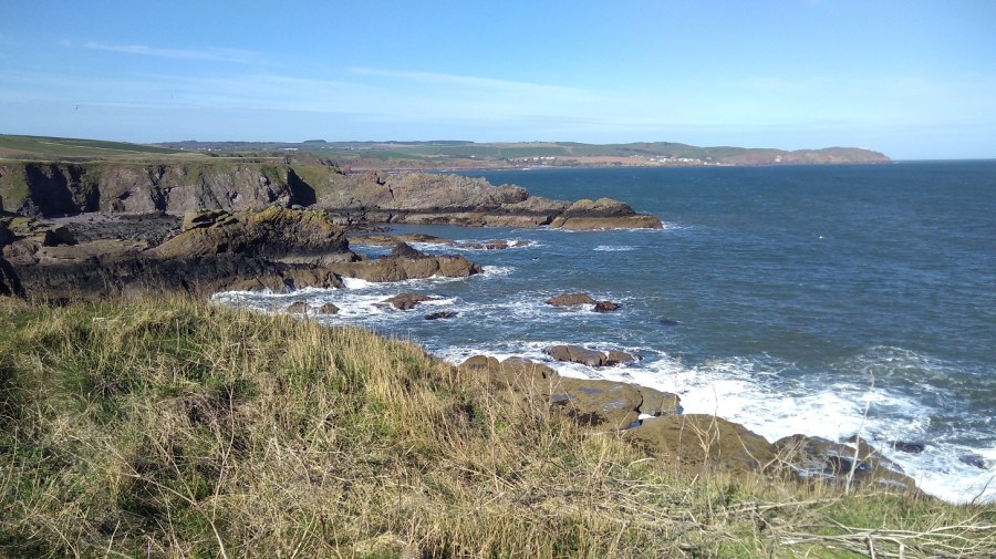
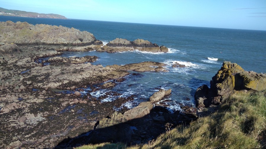
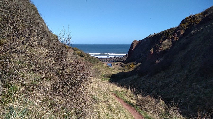
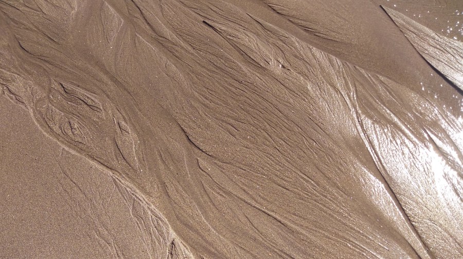
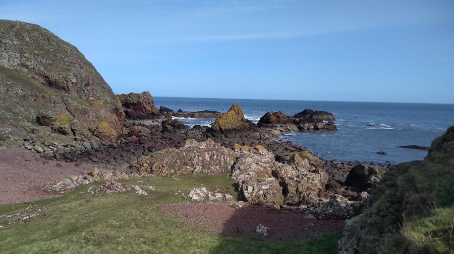
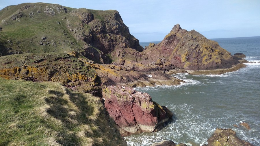
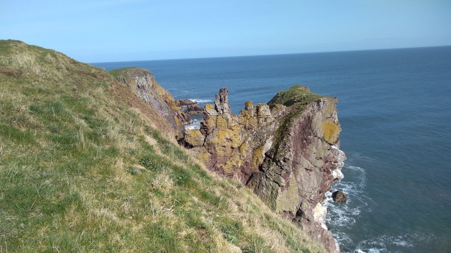
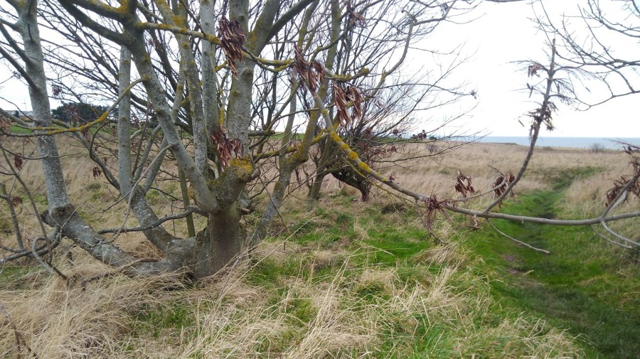
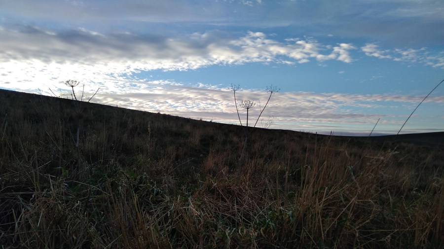
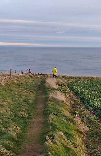
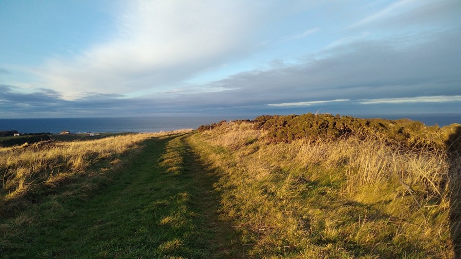
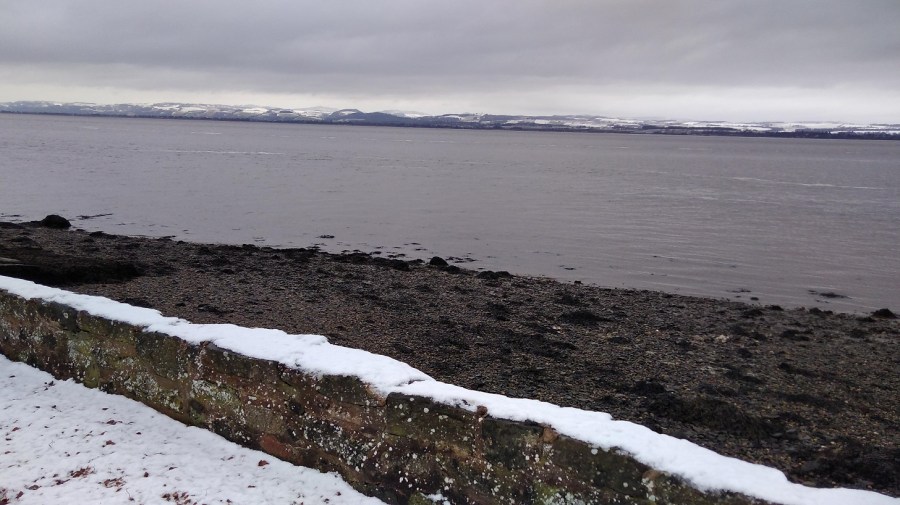
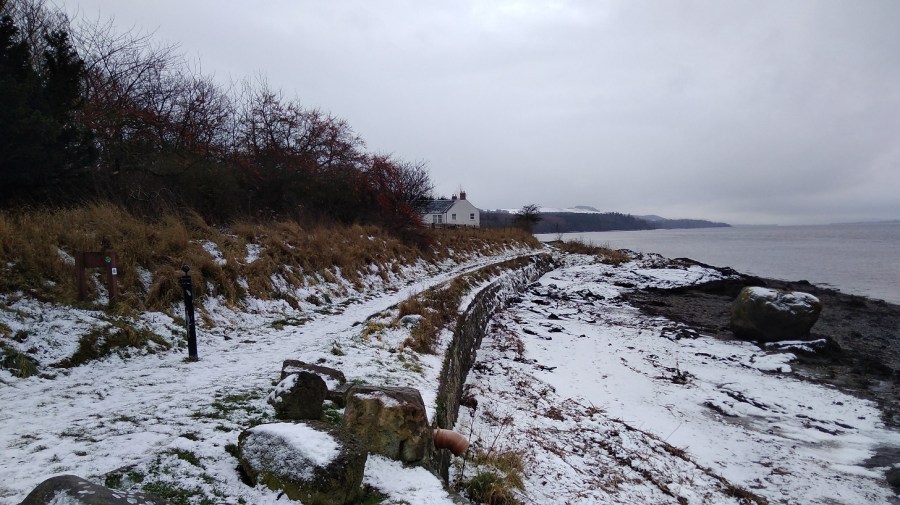
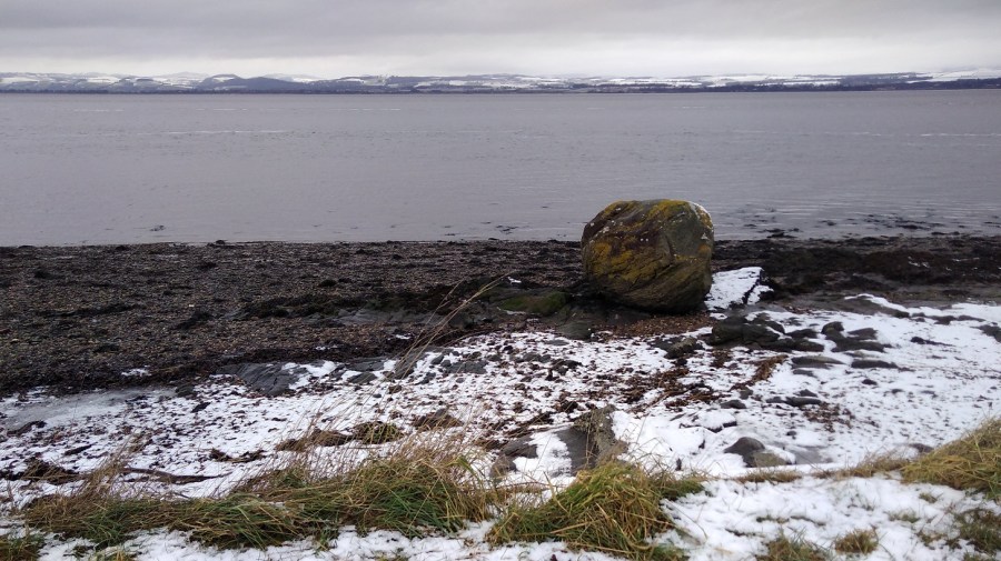
This is a walk with wild and varied terrain
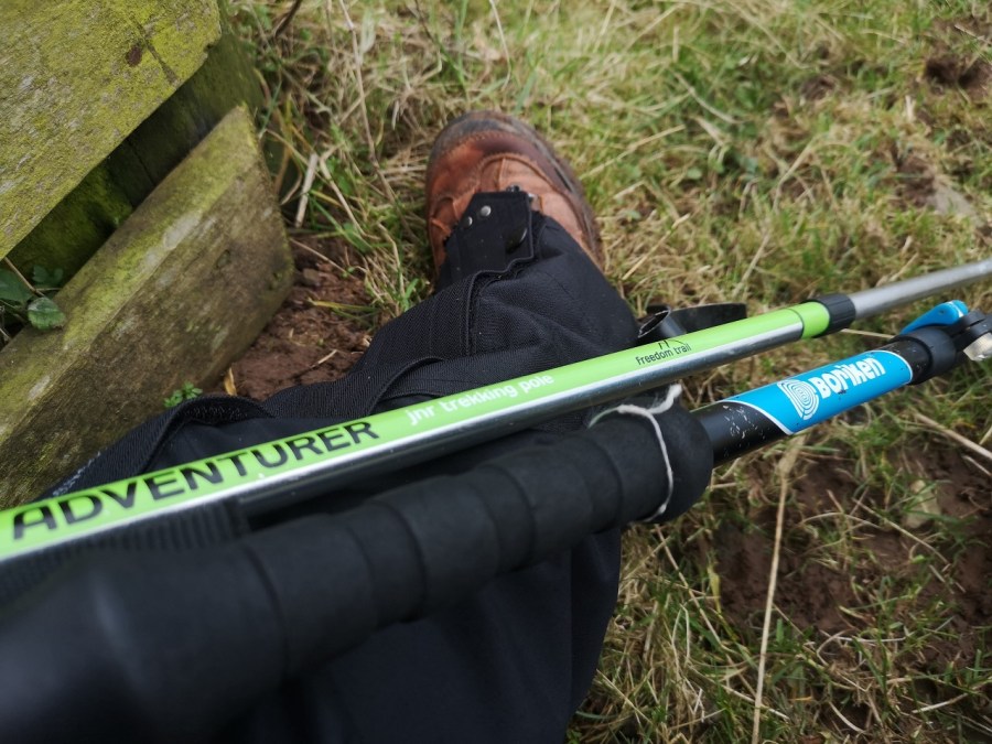
Then the first climb: I had to stop several times because I was so unused to it; I realised that my poles were uneven (one for a child and the other more sturdy, for adults), and the new gaiters which were discovered in the back of one of mum’s cupboards had long straps which are supposed to be trimmed before using – they kept getting in the way. I could feel a headche looming (a reminder to drink water regularly as I hike), and the cold wind was at the nape of my neck. I was mighty glad for the rucksack protecting my kidneys – it would have been freezing if I hadn’t been properly dressed. Let’s hope, I thought to myself, that it’s 8 and not 10 hours as some of my treks have been. It looked so easy on the map!
I could feel Xmas, heavy and bulky around my waist. Wow! was it hard work up and down what I discovered were the highest cliffs in Berwickshire. Overhead, pairs of birds were chasing each other, long-necked with a wide wingspan.
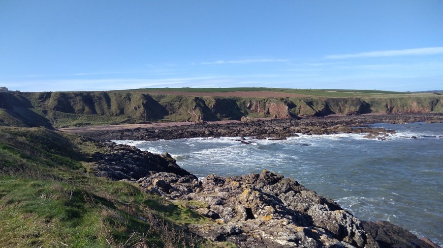
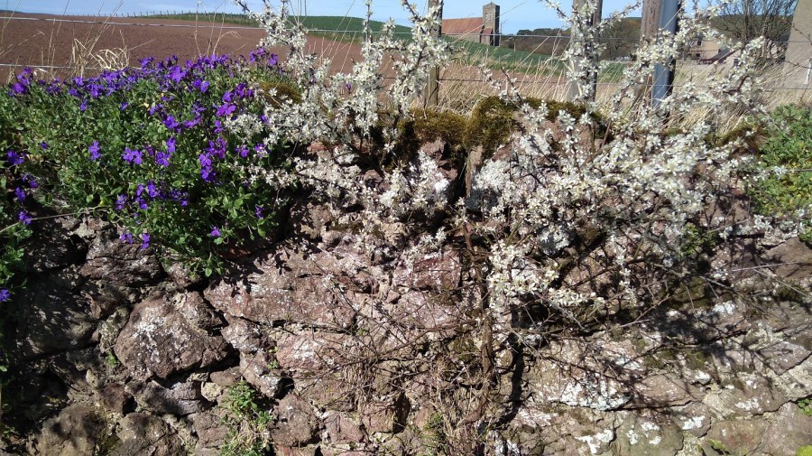
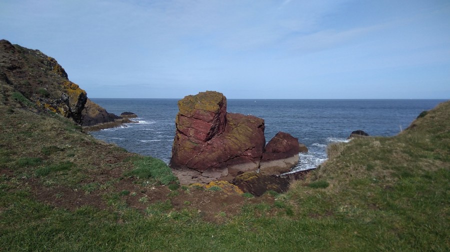
The closer I got to the water, the louder the seabirds and the wind. The white sky was dissected by the trail of a plane, and I had forgotten the red, the pink-burgundy-purple of the land round here. ‘Between each lava flow there is commonly a reddened zone, because the lava may have been weathered for hundreds of years in a subtropical climate until the next lava covers it’ (Edinburgh Geological Society pdf as above).
Gorgeous Geology
Sniffing on account of the cold wind, I came to my first path dilemma – do I go by the road or off to the right? There was no sign. I chose the road, but was very unsure and got into a bit of a (short-lived) state about it, trying to look at the photos I had taken of the OS map without my phone being blown out of my hands, and comparing them to the insubstantial BCP leaflet while the wind was coming towards me like nothing on earth. There was a sign further on, so the road was the correct course of action.
The second female runner, red faced, grinned as she ran on, then stopped to hold open the gate for me. As she disappeared into the distance, I was left with the sound of the waves. I adore the quiet.
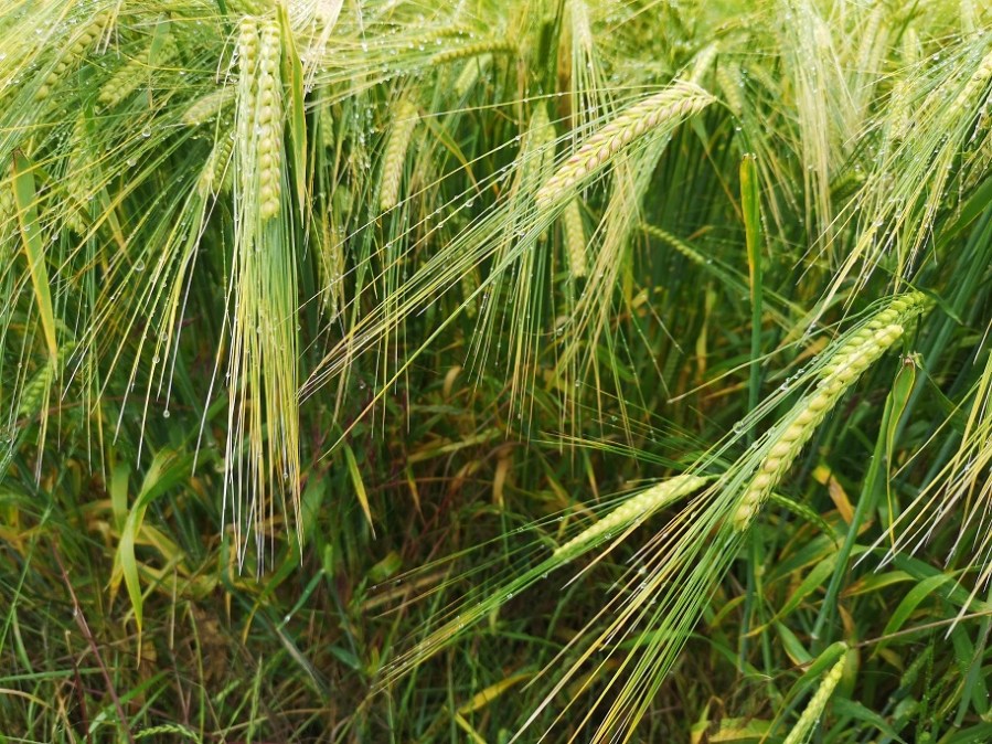
My poles stuck into the soft, brown clay which soon changed to clods around the edge of a field where cattle had clearly been. The cow pats had orange fungus (pezizales) on them and there were great clumps of shiny, black pastilles, deer droppings.
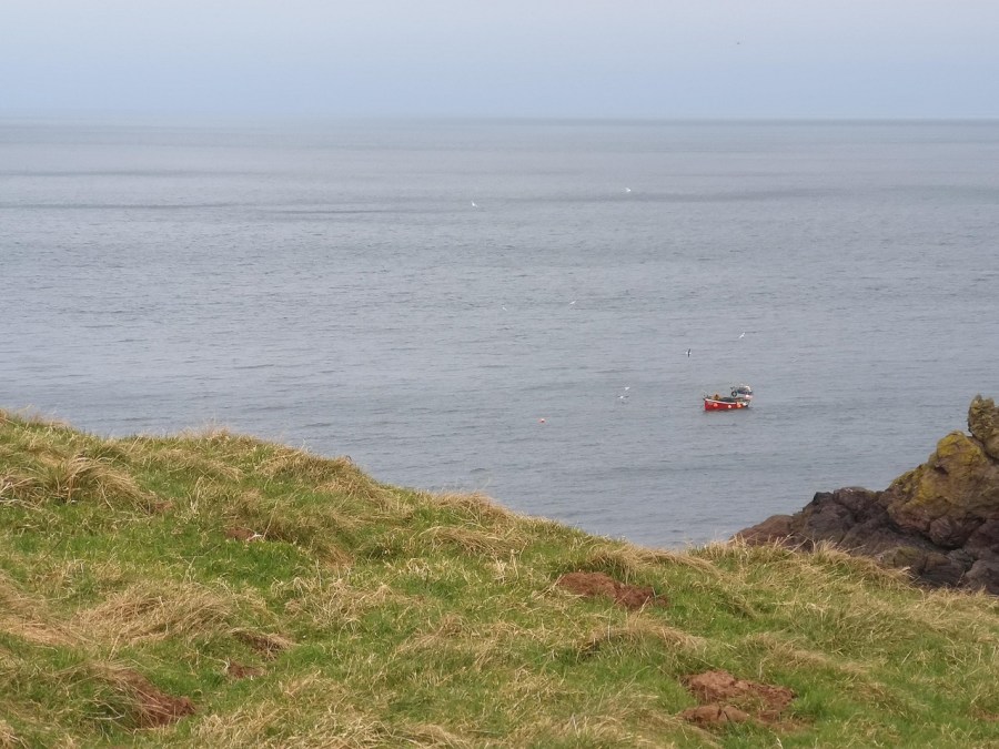
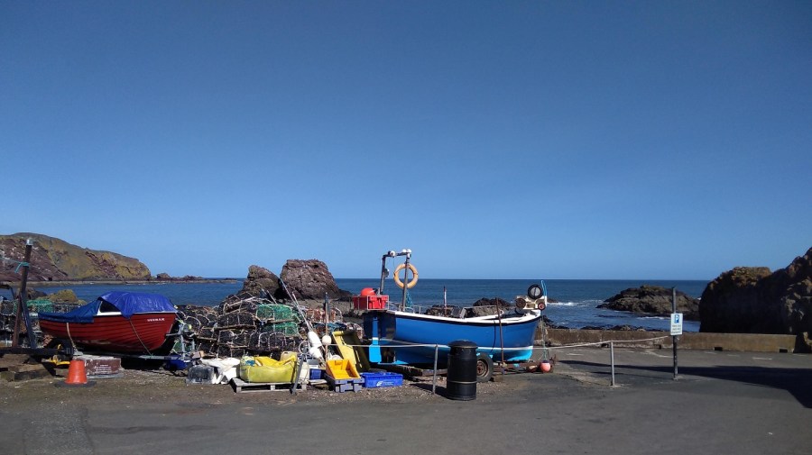
It struck me how little I know about so many jobs: diving, fishing, farming, lighthouse keeping, all of which I depend on. Such things I mused as I walked.
I heard the birds going sweeeak, squweeeak, sqweeeak, sqweeeak, sqweeeak, tda, tda, tda very fast!
I, on the other hand, was going so, so slowly and feeling incredibly unfit, breathing heavily on the ascents – great exercise for inner and outer health. As I paced, I could feel my heart sighing. My head was still zizzy and a bit anxious, but I could also actually feel myself grounding, as if lead was working its way down my legs which of course made them feel altogether too heavy to climb hills. My system was settling. The intense breathing had cleared away some of what was clogging my lungs; the bowel clearing which went on an hour after starting, resulted in a very easy sensation in my abdomen. This was good for me.
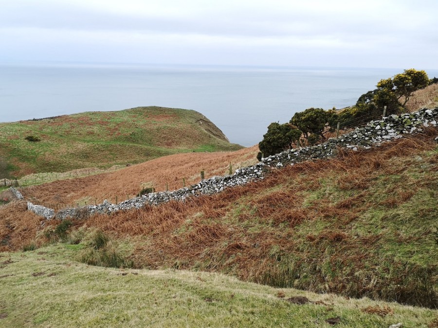
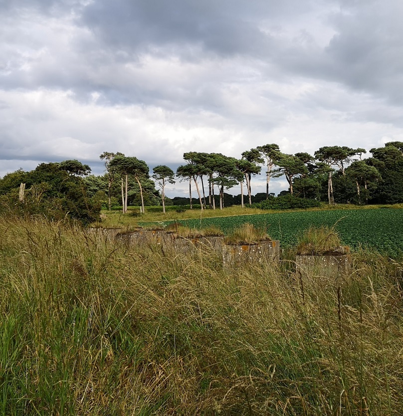
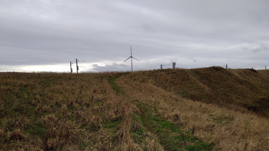
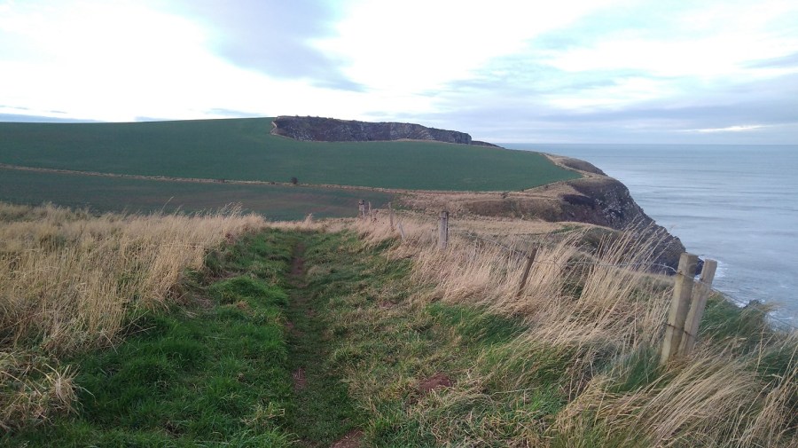
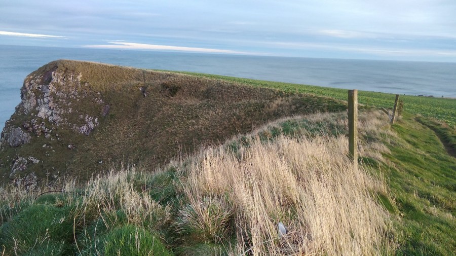
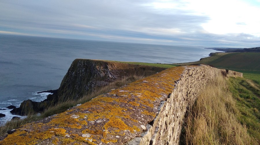
Cliffs, stiles and wind turbines
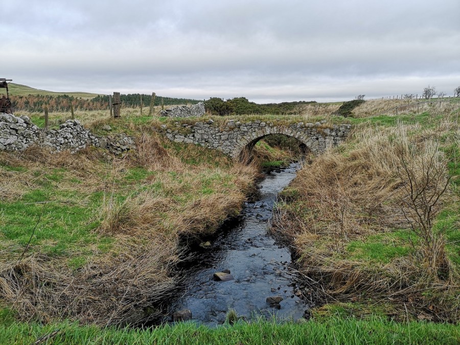
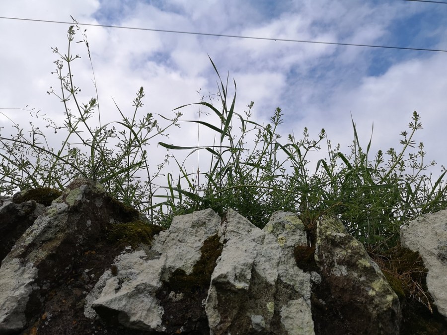
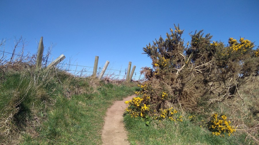
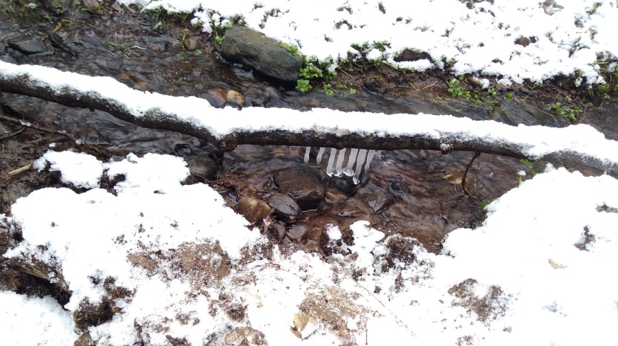
What sort of terrain was it? Two stiles, a little burn, up a very steep bit, over a stone wall, ribboned white, and through a gate with a metal spike to shut again after me – I struggled with it. More stout stiles, wind turbines and wet burns (where your water bottle might fall out of its pouch, getting muddy even around the lip under the lid), even more stiles (too high for short legs), curving round contours and up more slopes – pwhew!
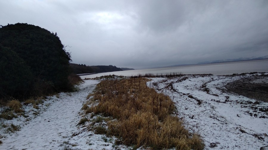
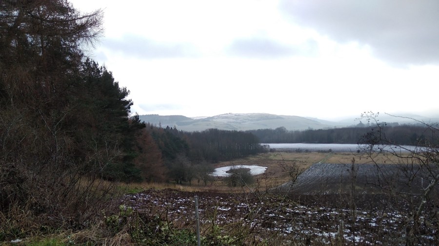
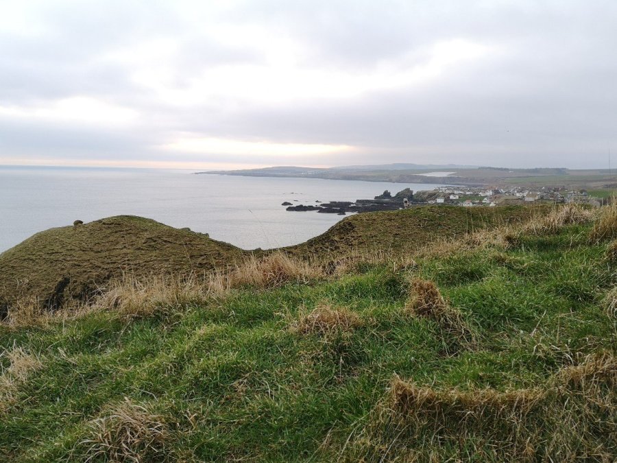
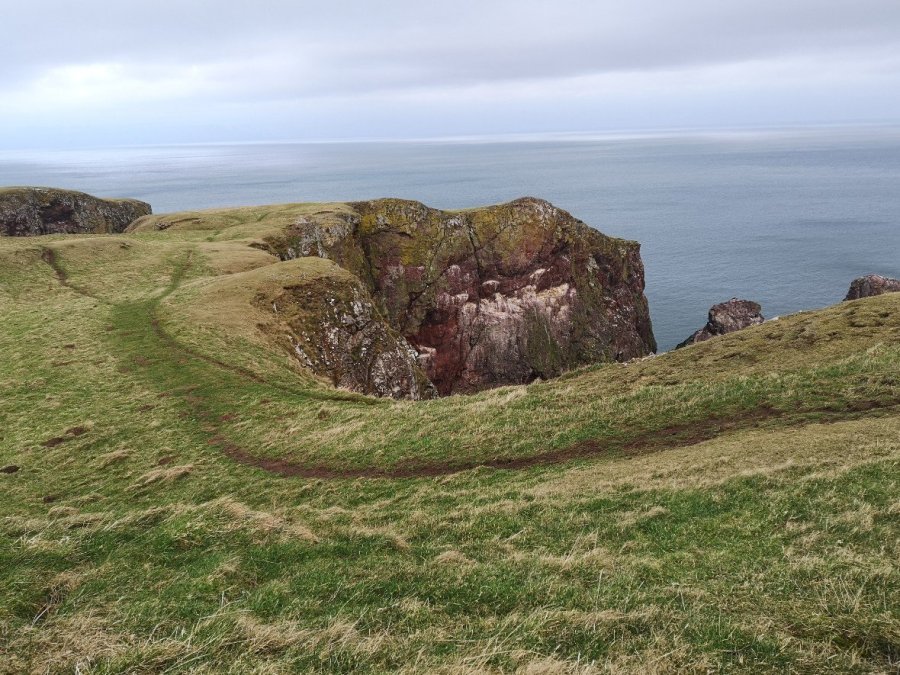
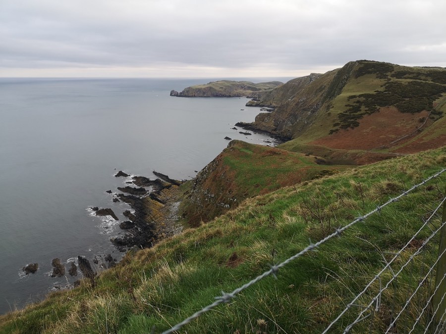
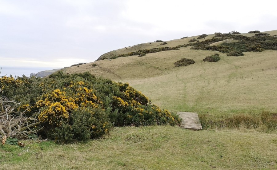
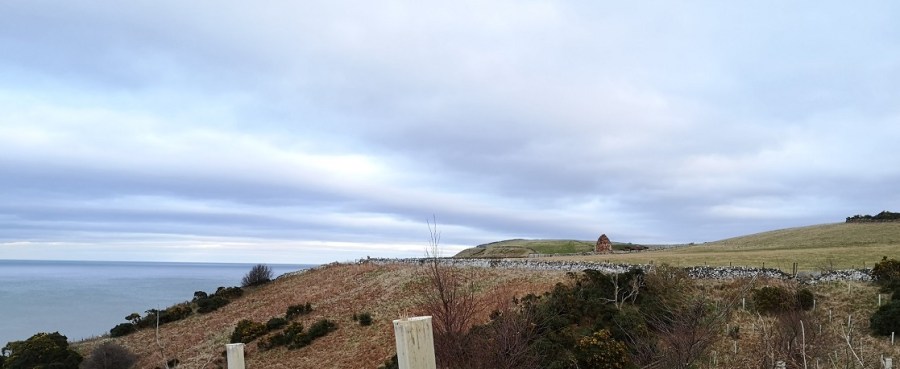
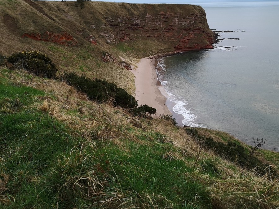
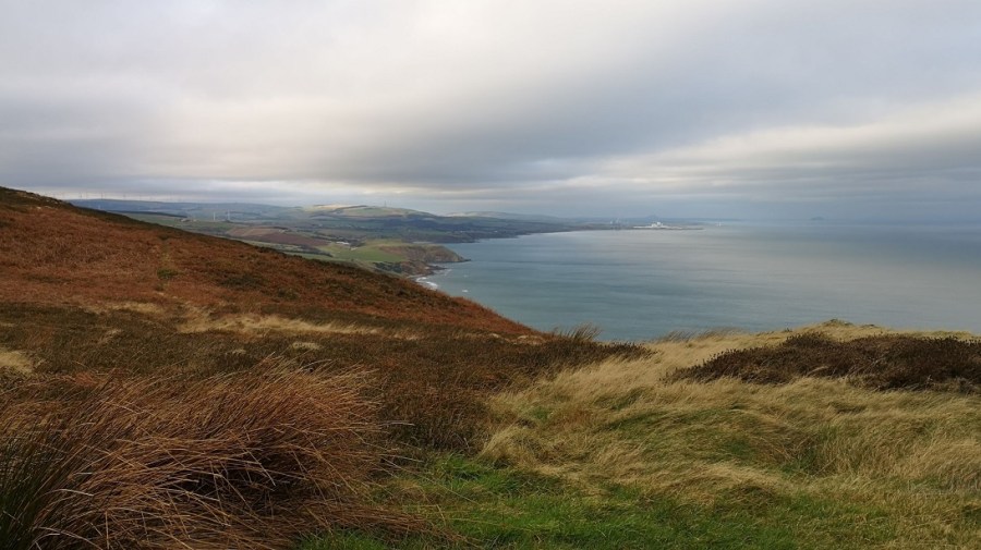
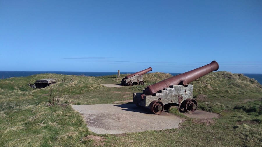
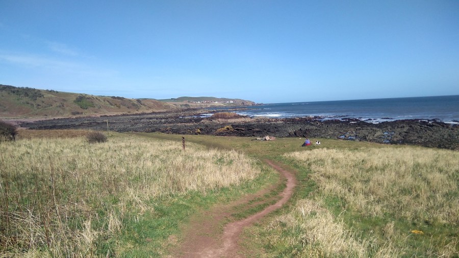
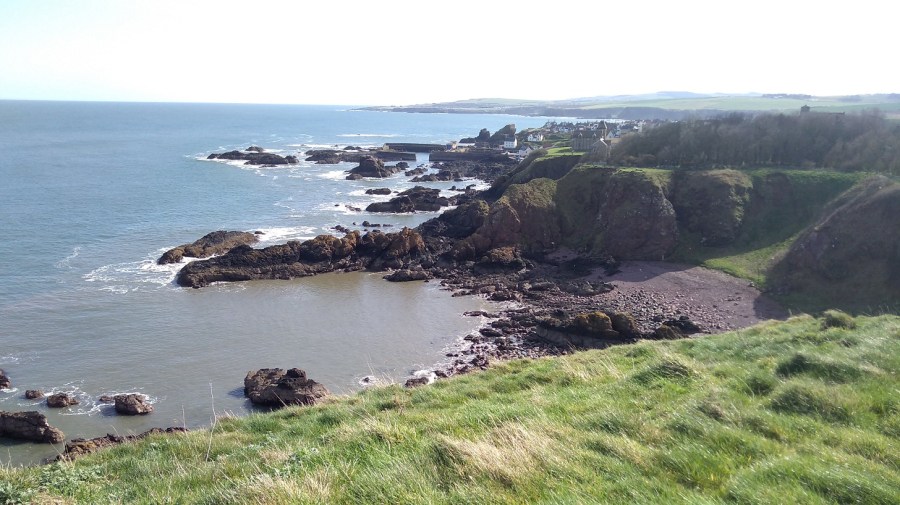
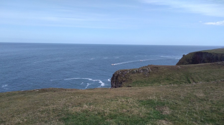
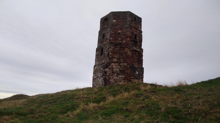
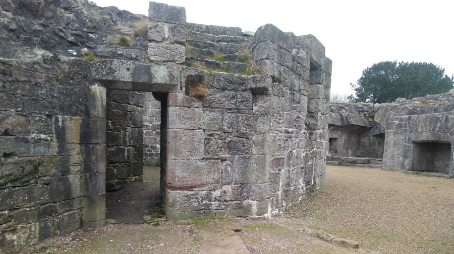
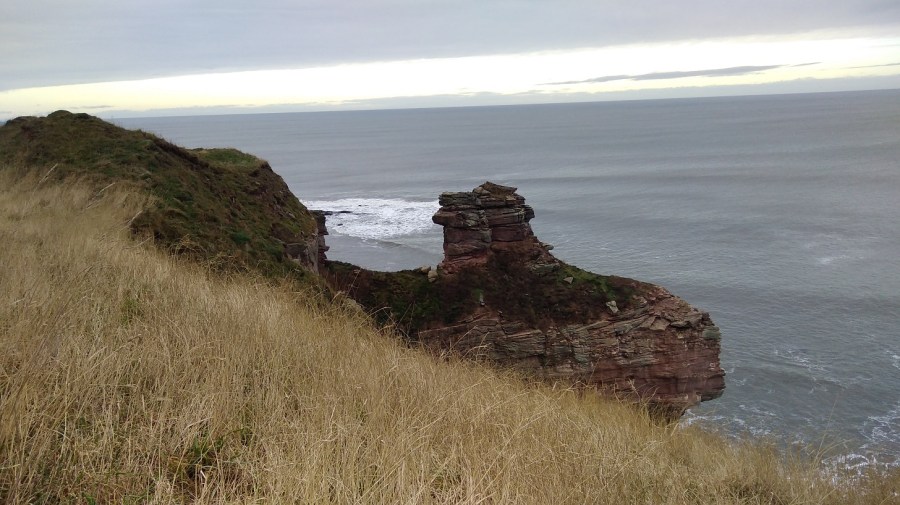
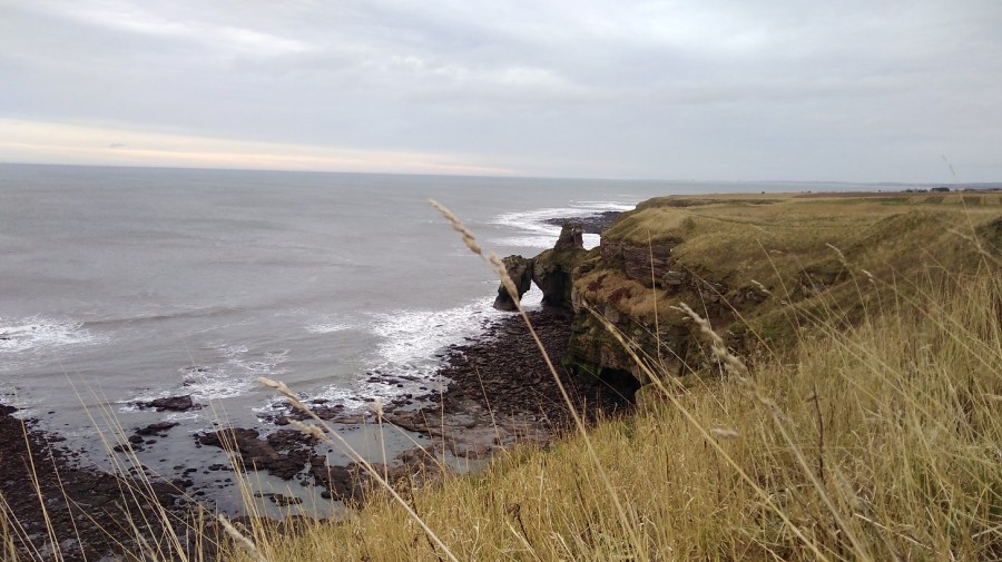
After the highest cliffs (the Tun Law Forts) and the two admiralty poles (to measure nautical miles), the path hugs the coast (I went inland by mistake). The sea was all glassy, rippling gently in the wind. The wind was incredibly heavy up here, but down at the sea it looked magical. The path is sometimes dizzingly close to the edge of steep gorges with white foam at the bottom. The gorse was olive green from a distance, and their glorious sunshine flowers matched the yellow arrows.
Then there was a beautiful flat stretch: Small brown birds were tweeting. They appeared and disappeared like helicopters doing vertical take-off and landing practice (skylarks?). I couldn’t see any dolphins or whales, which I always wish I could, but then I realised how lucky I am to see seals almost every day outside my house. Gulls with black wing tips were gliding over the sea. There were feathered swarms, like bees, inland over the sheep-filled fields.
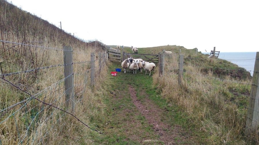
I heard the sound of a quad bike before I saw it, like the brrr you do with your lips, spitting saliva a bitty, to make a baby laugh. Then I saw a man holding back a collie dog with great difficulty. He gestured and spoke, but the wind stopped me from hearing what he said. I got the gist and waited. They were driving the escaped sheep back up the cliff and we all had to be very careful in case they panicked and rushed in the wrong direction, to their death.
This was my first ‘proper’ walk after injuring my left foot on the Portuguese Camino. It had taken months to heal and I was nervous about future walks, but I became more confident as the day progressed. My ankles felt weak – that was the lack of Scottish hill walking practice – and so I was careful to place my feet flat where possible, which sometimes hard on the side of these hills.
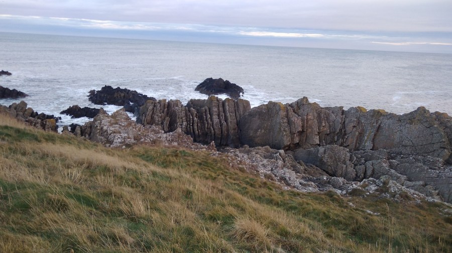
Higher and higher, I looked back at the most wonderful rocks which angled down and reached their guano covered fingers into the sea, some with athritic knuckles all jagged as if they had rough skin.
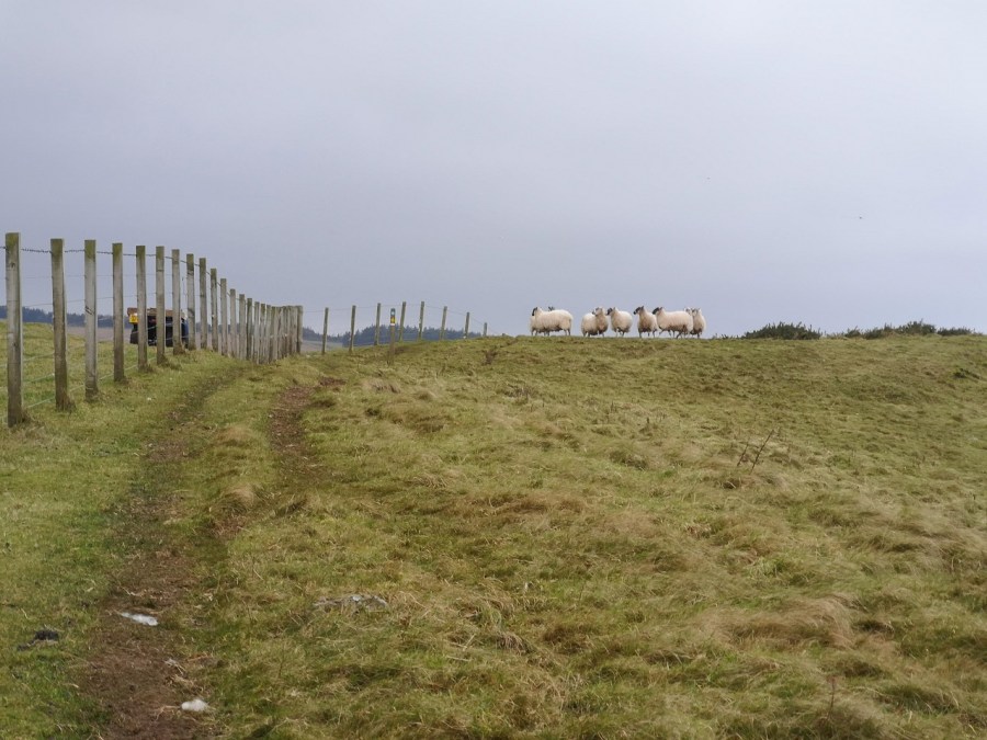
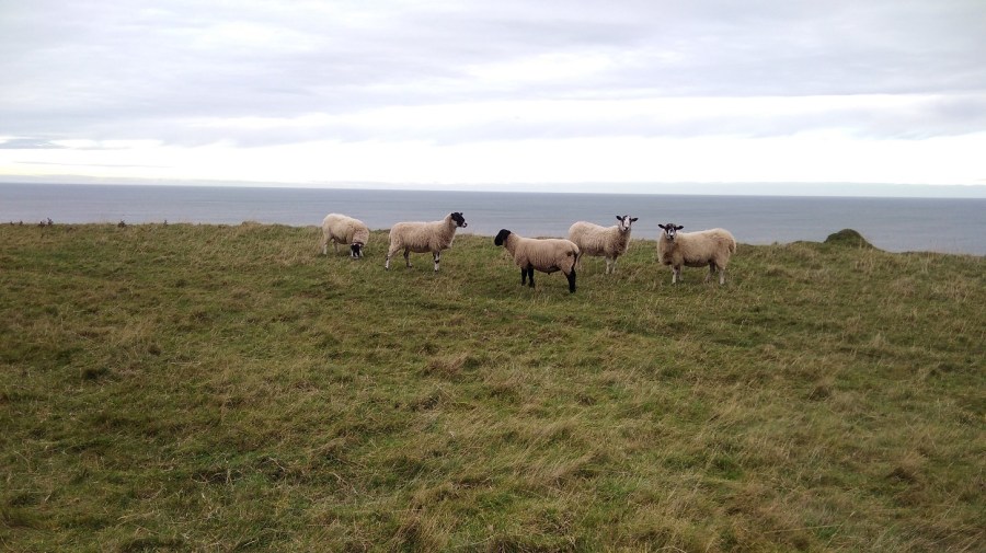
More sheep
For the first time I saw sheep head-butting each other, their hind legs sort of bouncing off the ground as they did it. As soon as I stopped to watch, though, they stopped too, like embarrassed teenagers caught doing something they shouldn’t be – it was so funny.
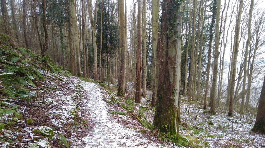
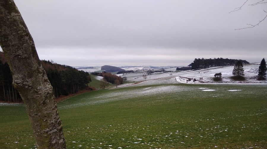
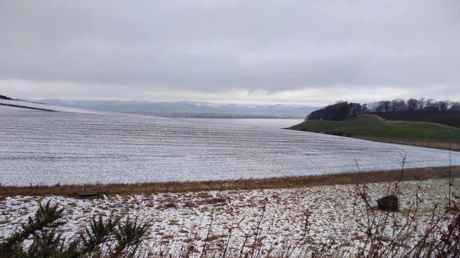
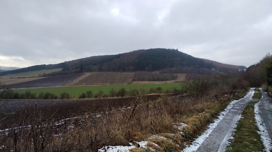
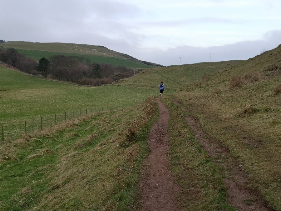
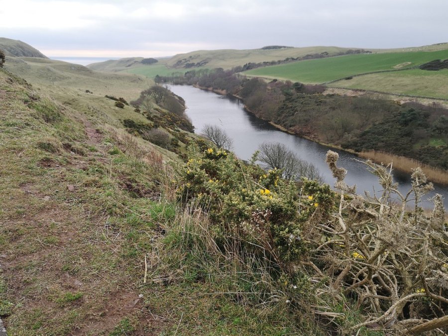
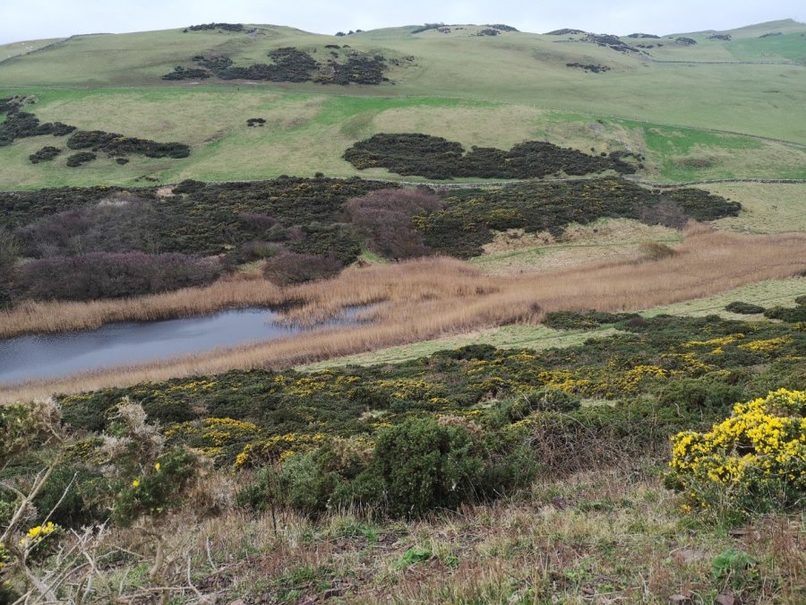
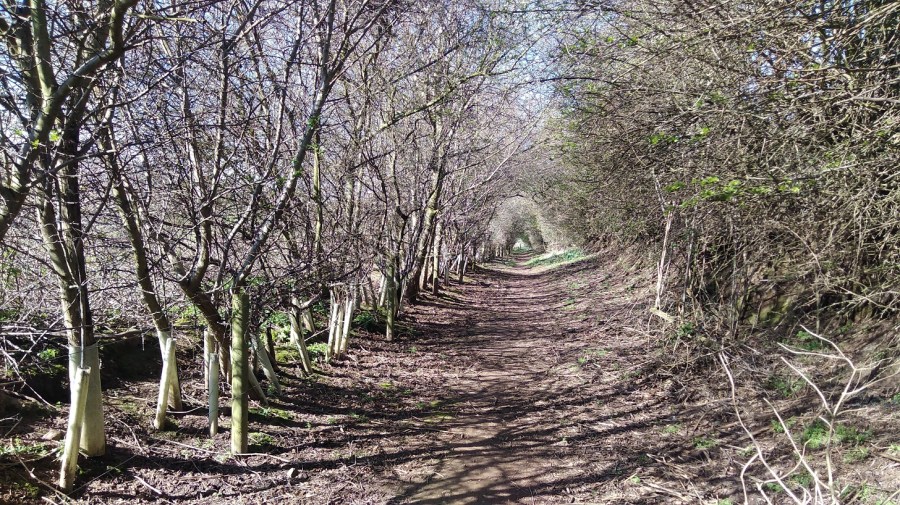
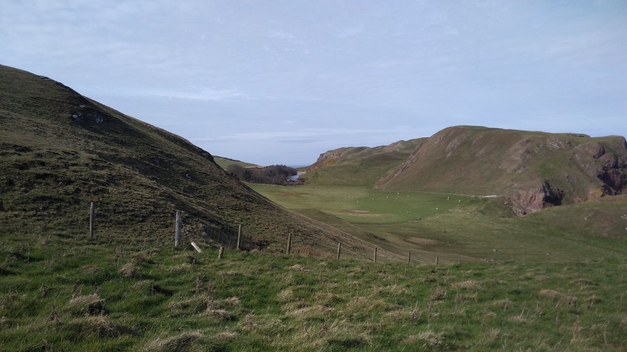
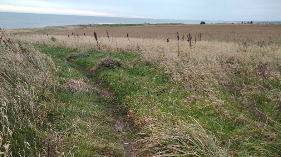
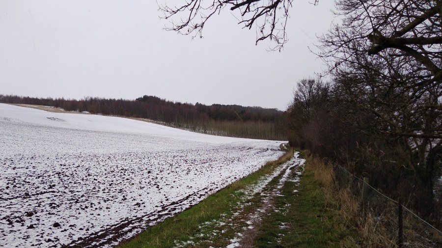
Three hours in and the ground was flatter – forest and fence, new coppice of some type of pine. Ditches full of rainwater were squidgy to negotiate. There was not much sign of a path here until the next metal fence and a gully with thorn trees, inland.
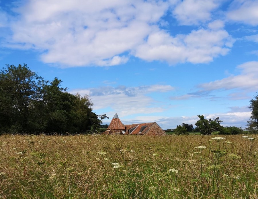
On this walk, you just keep on going and you eventually get there. I arrived at Dowlaw (say doolaw) farmhouse at 12 noon – 3.5 hours exactly which was good going given that the time for this stage was listed as 3.5 – 4 hours. As you approach the dwelling, remember to turn right through a small copse, do not take the left at the farm machinery.
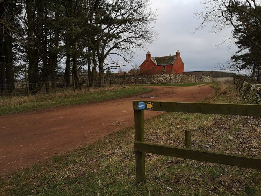
The half way mark – Dowlaw
I lay down and rested out of the howling wind for a few minutes, but it was very wet. I had been hearing a conversation going on beyond my left shoulder which when I stopped I couldn’t identify the origin of. Slowly I realised it was the wind turbines turning, chatting away to themselves.
I followed the road and then left it as the map showed, perhaps too early, because there was a dearth of signs. I traversed grass with almost no noticeable track to speak of. Yes, the signs were unclear, seeming to point across more moorland, but I was unsure. There was a car with its engine running, a solo man in it, a big screen on his dashboard that he was watching, despite facing out to sea.
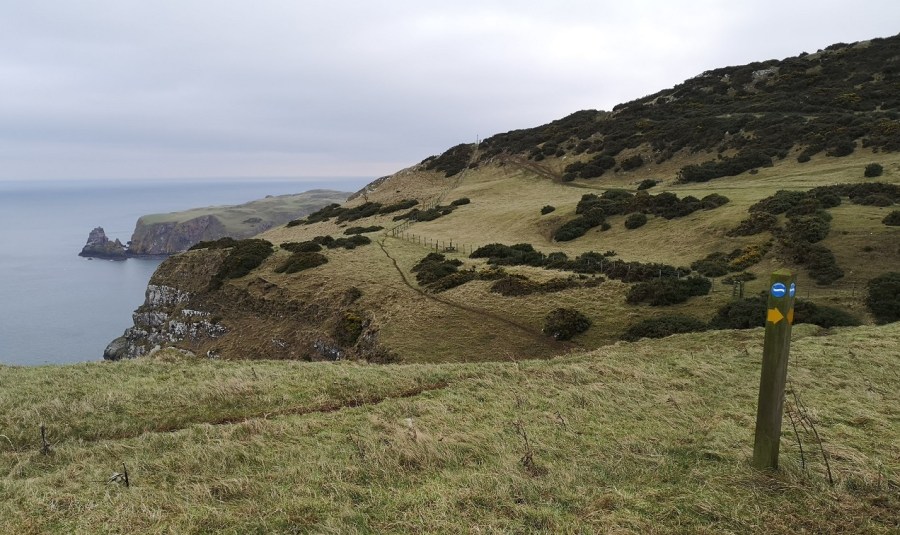
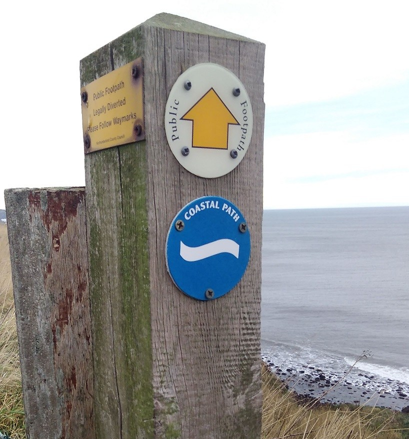
I was very, very tired by this time, so I was glad that it was more level, overall, on this final stretch. I was amongst the sheep, passing through gate after gate, and molehills were everywhere. It must all be taken carefully – the route twists and turns, over waterways and round field corners. When you doubt that you are on the right track because you come to a junction where there are options, scan far, far ahead into the distance looking for a small pole with a yellow arrow and a blue and white sign to guide you.
Next was a farm yard with very pretty, nervous calves inside a barn, and three barking dogs, enclosed. Crows lined up on the telegraph wire. A sheep with a horrible rasping cough was on my left. It was if something had gone down the wrong way, most distressing. In the road in front of me were two running, waddling birds (game birds? I did hear shooting earlier). Every now and then they took off, their wings whirring as fast as those of flies. More cottages were ahead and smaller, brown birds with white tail feathers twittered away. They looped horizontally in and out of the hedgrows as if they were hanging the decorations.
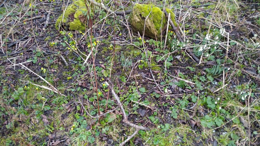
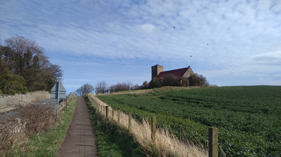
Flora and fauna -Old Cambus
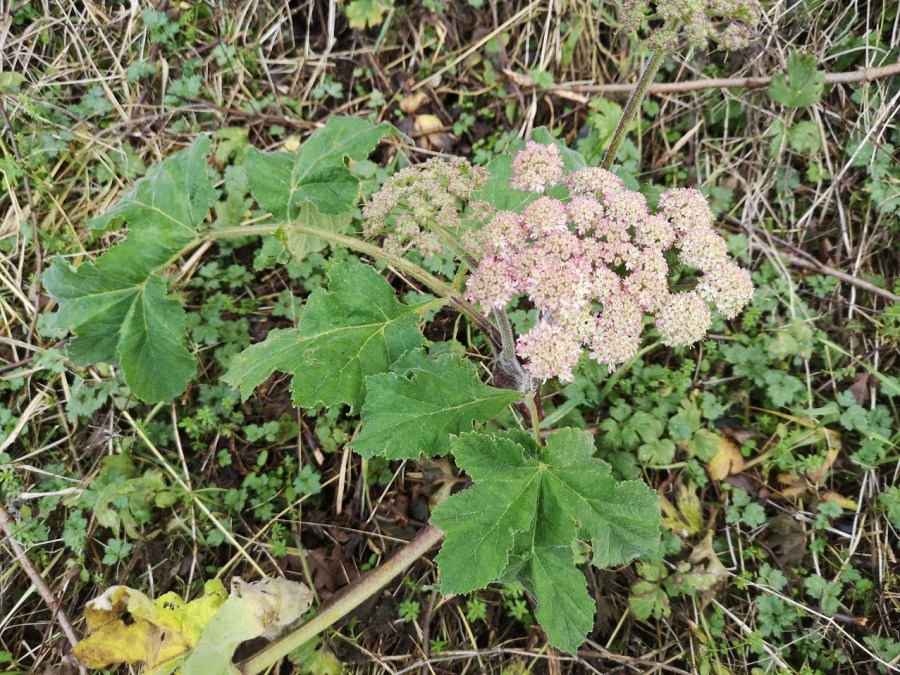
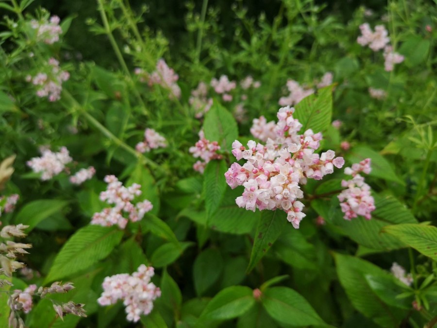
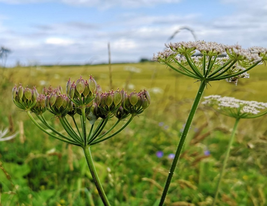
My eye was drawn to the catkins flibbaling in the wind, snowdrops harbouring under a stone ledge, pussywillow shining white, and hogweed/cow parsnip in flower. Thoughts flitted in and out about a book I was recently given: Melissa Harrison’s Rain. I wasn’t sure about it at the beginning, but it was starting to grow on me – four, easy essays written about seasonal walks in different parts of England, all about rain and the effects it has on animals and the earth – interesting facts, well written. I wondered to myself if she learned from books / the internet or if it was local lore from people she had spoken to along the way.
‘Here and there hazels have produced their yellow catkins; there are hips bright as blood, too, and beside the path a straggle of field mustard, most likely a farmland escapee…’
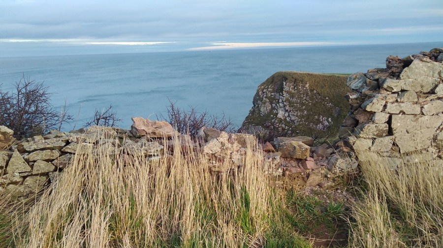
This was Old Cambus and I went straight on, as far as the T-junction, and there I thought I must be wrong. I was right! Retracing my footsteps (right hip and soles sore from road walking) I asked a woman getting into a car and she pointed me to the seagreen shed. I had to go past the garden with the tin / metal sculptures of a sheep and a pelican.
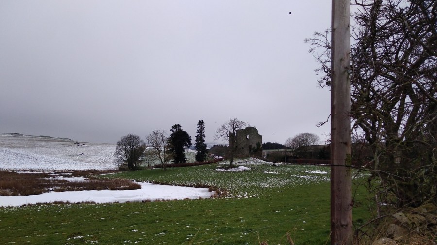
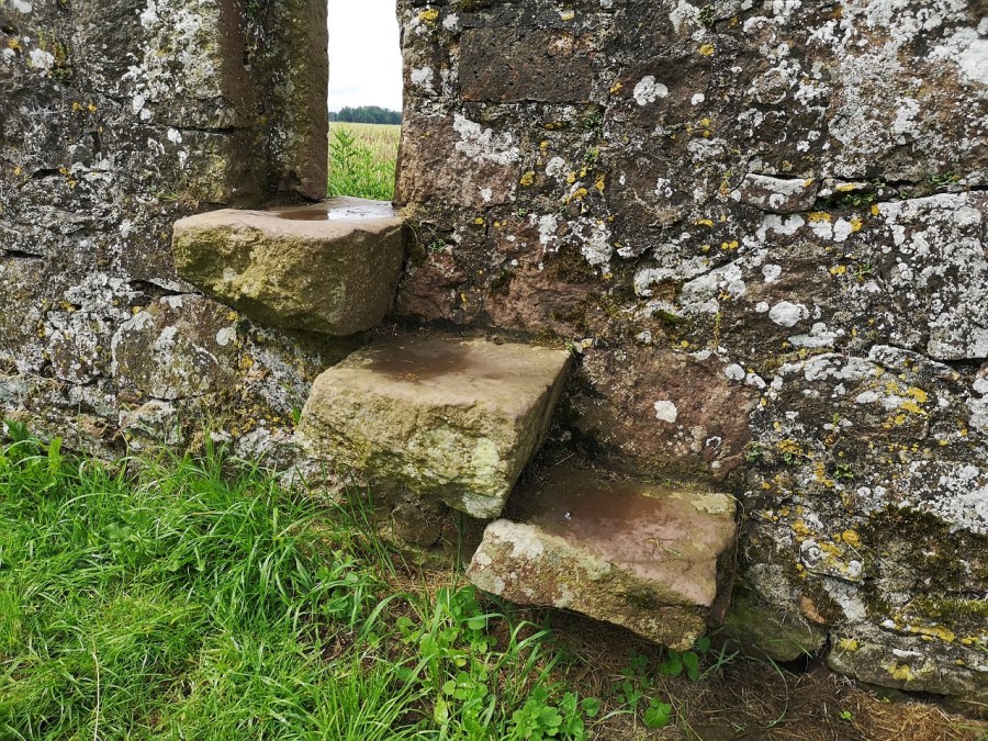
So, now I was going back in the opposite direction (sea on my left) to another sign in the corner of the field. Then, straight downhill (not left) towards the sea. There was a ruin up ahead.
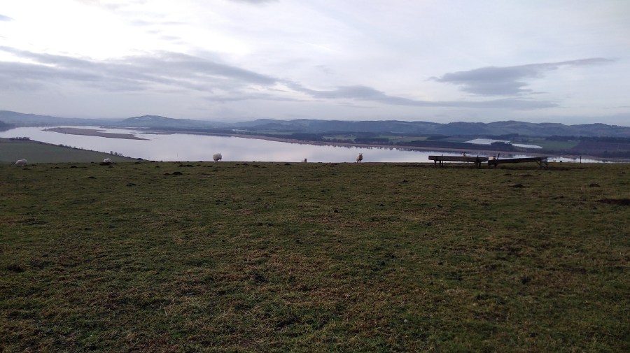
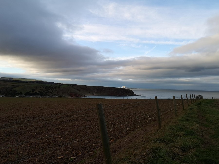
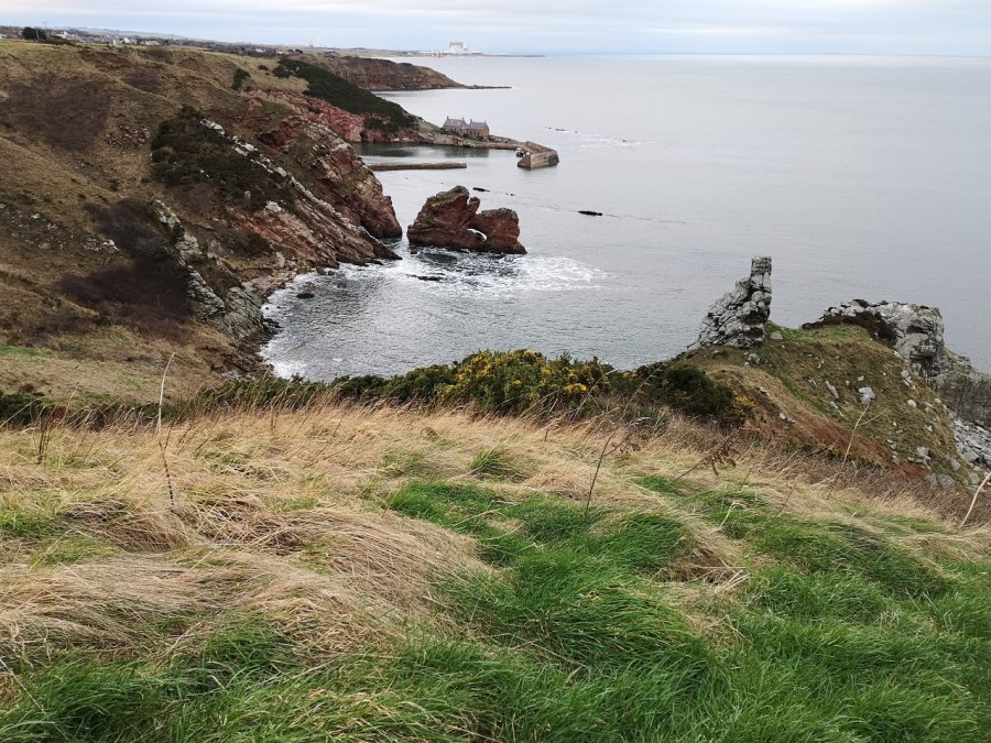
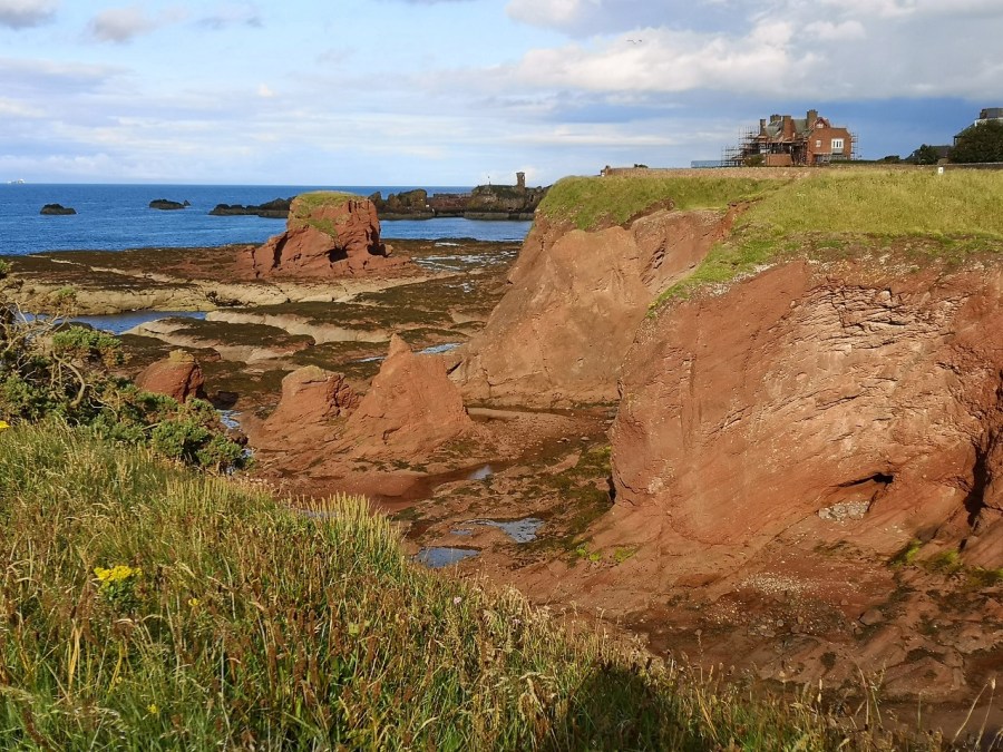
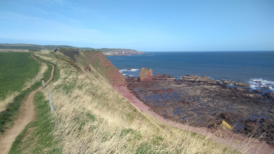
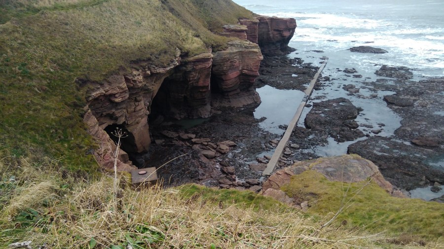
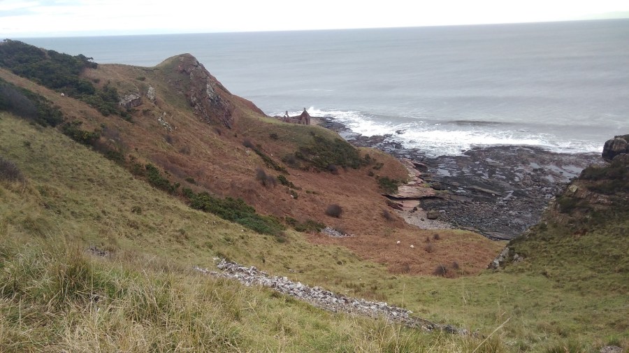
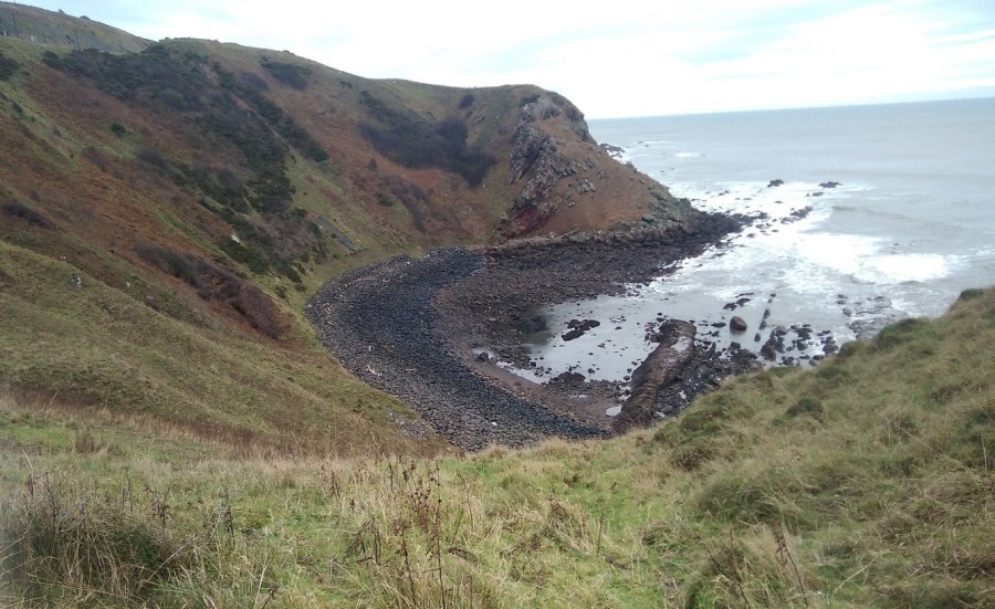
Siccar Point
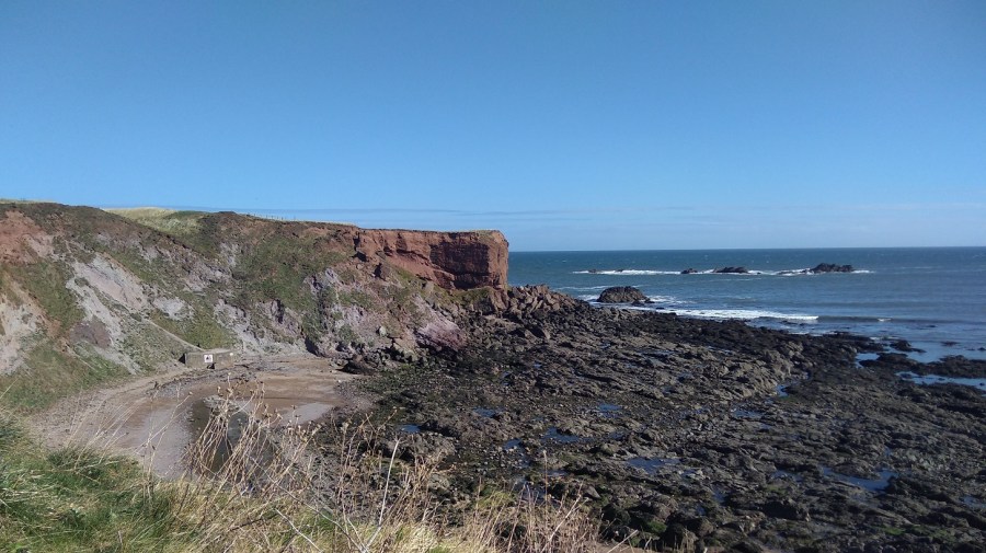
Although the path goes inland here, I was able to get a photo, later, looking back towards the famous Siccar Point or Hutton’s Unconformity.

‘In 1788, James Hutton first discovered Siccar Point, and understood its significance. It is by far the most spectacular of several unconformities that he discovered in Scotland, and very important in helping Hutton to explain his ideas about the processes of the Earth.’
‘At Siccar Point, nearly vertical sedimentary rocks of Silurian age – greywacke sandstones and mudstones – are covered unconformably by a younger sequence of red sandstone and breccia.’ The Geological Society
‘Hutton used Siccar Point to demonstrate the cycle of deposition, folding, erosion and further deposition that the unconformity represents. He understood the implication of unconformities in the evidence that they provided for the enormity of geological time and the antiquity of planet Earth, in contrast to the biblical teaching of the creation of the Earth.’
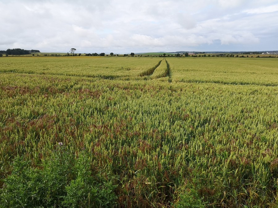
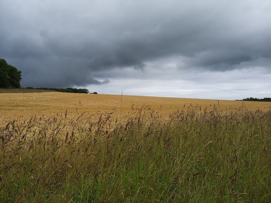
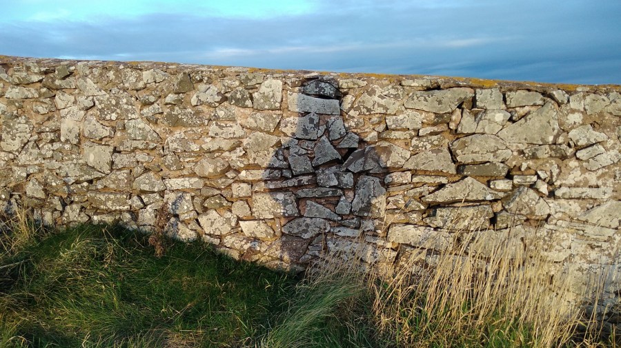
Over a cattle grid I traipsed, and took a right with lots of signposts giving mileages to Cockburnspath which turned out to be erroneous, but kept me forging forwards at the time. A long stretch along the edge of a fence was very steep with very little space to walk.
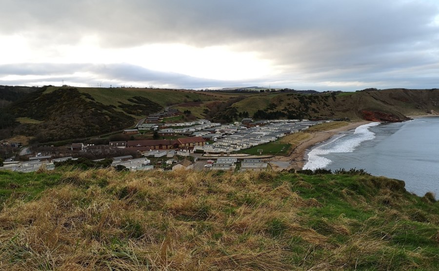
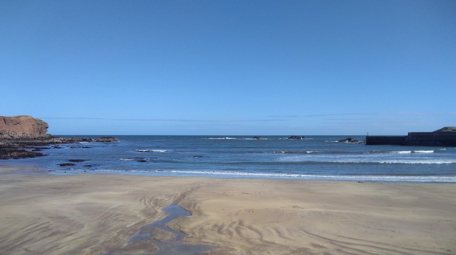
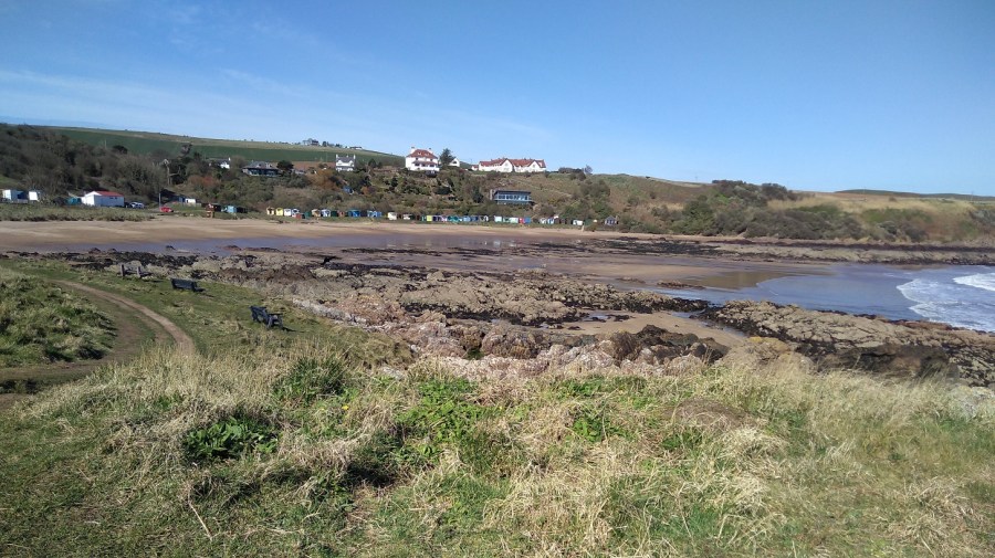
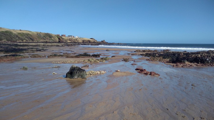
Pease Bay
Up a very steep road on the other side, past some houses, I joined the very end of the Southern Upland Way (which starts at Portpatrick, south western Scotland 214 miles / 344kms). More tough steps, this time, up.
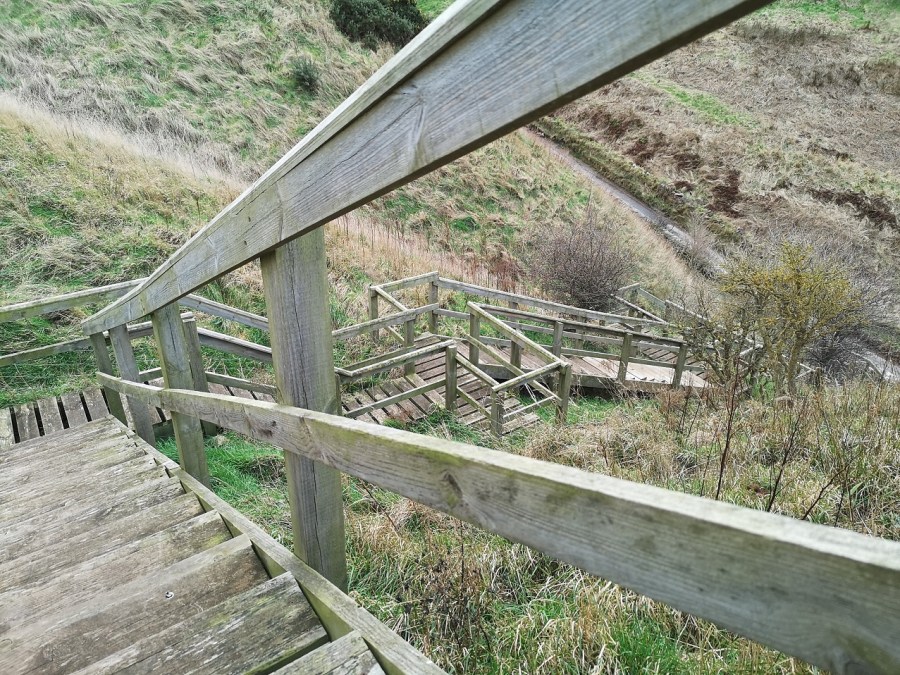
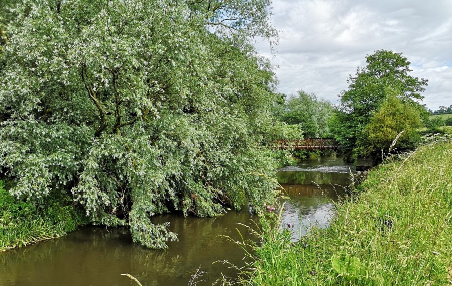
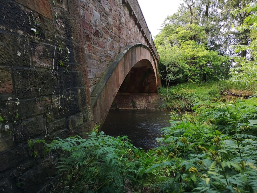
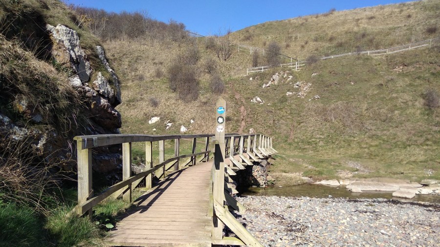
Crossing a burn with little waterfalls on a boardwalk, I came across a sweet bay which could not be reached except by boat.
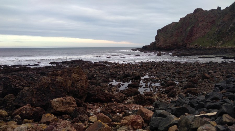
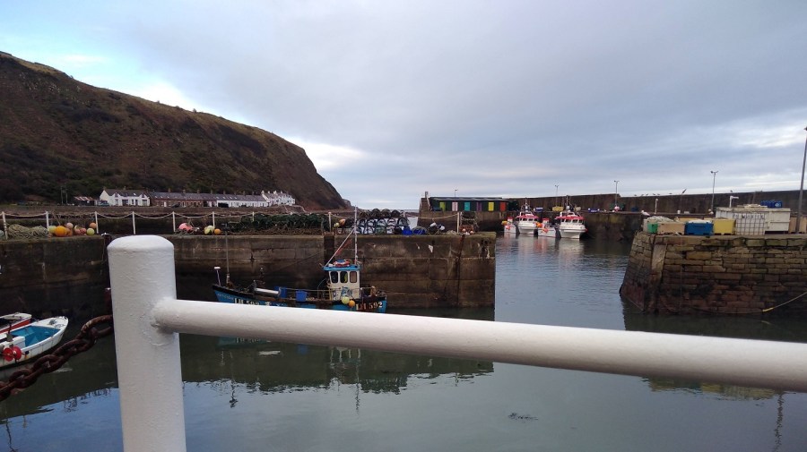
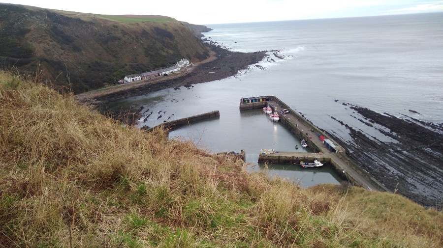
Cove and Cockburnspath
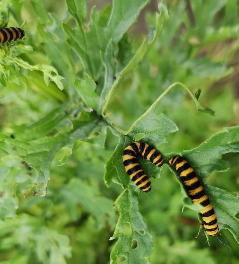
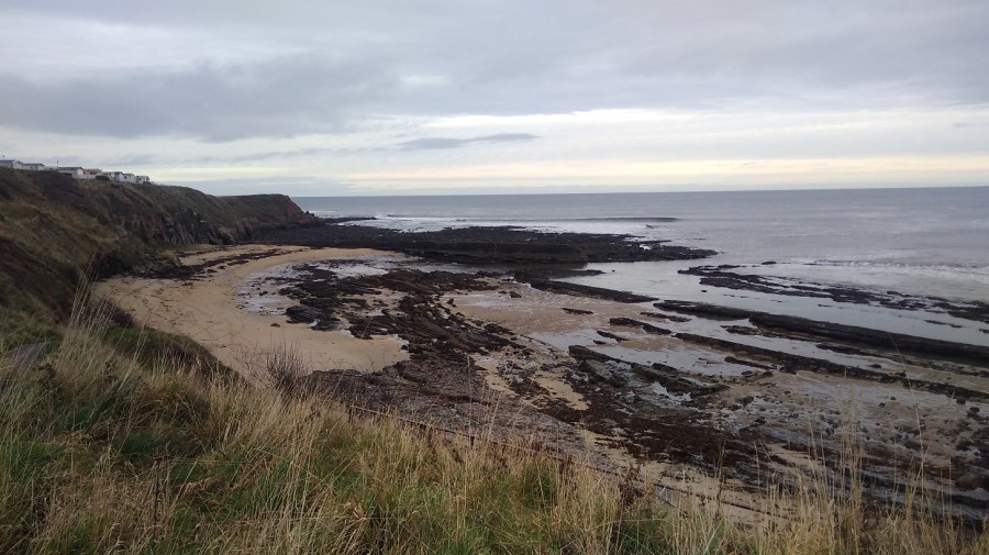
At Cove, there are caves in the red rock and stacks to rival Orkney’s. Striated rock comes down into the water. I spied a single cormorant on a rock with another swimming towards it out at sea. A solitary, brown, fluffy caterpillar was at my feet.
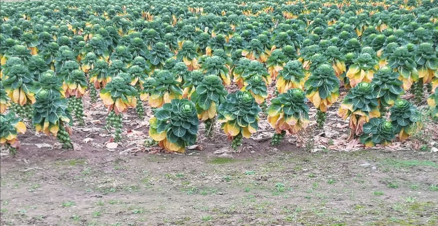
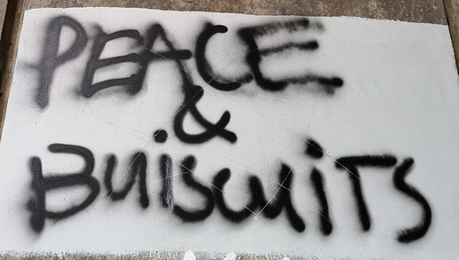
Past a field of prize-winning sprouts, this stretch is noisy with motorway traffic and, as I passed under the railway, yet another train sped across. I viewed the peace and biscuits graffiti which was exactly as ‘Ettrick Shepherd’ on the Walk Highlands website stated (long distance walks / Berwickshire Coastal Path / St Abbs to Cockburnspath). I am indebted to him for his account, which I read before I walked.
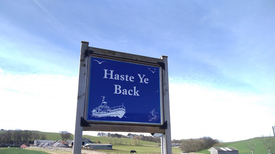
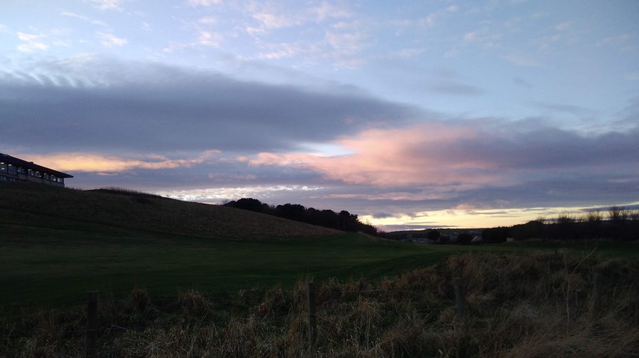
I arrived at Cockburnspath at 4pm, before it was dark. To get the bus back to Edinburgh, you need the stop on the Bowling Club side of the road. It turned out I could have got the 4pm bus, but I went for a celebratory cup of tea at the post office and village shop (which very sadly closes in 5 weeks due to bereavement) and so, missed it. I waited over an hour, regaled by very loud rock music coming from the house nearby, as it got darker. My right cheek was glowing hot from walking all day, much of it with the wind in my face. Thankfully, it’s a nice old fashioned bus stop with a covered wooden seat but, being wet throughout from the sweat of the walk, I chilled very quickly and so snuck behind and changed into dry clothes from the day before.
Birdwatching on the Berwickshire Coast
Really good leaflet on wildlife of the Welsh coast, many of which species can be seen in Berwickshire too. pdf
You might also like Day 1 of the Berwickshire Coastal Path and North Berwick to Dunbar


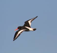 A flying oyster catcher, Wikipedia.