North Edinburgh Art Trail

An arts trail in North Edinburgh, from Natalie Taylor’s labyrinth at Pennywell Kirk to the mural on the Edinburgh Direct Aid Warehouse wall made by Draya Madú with Eva Paredes and volunteers. Map here.

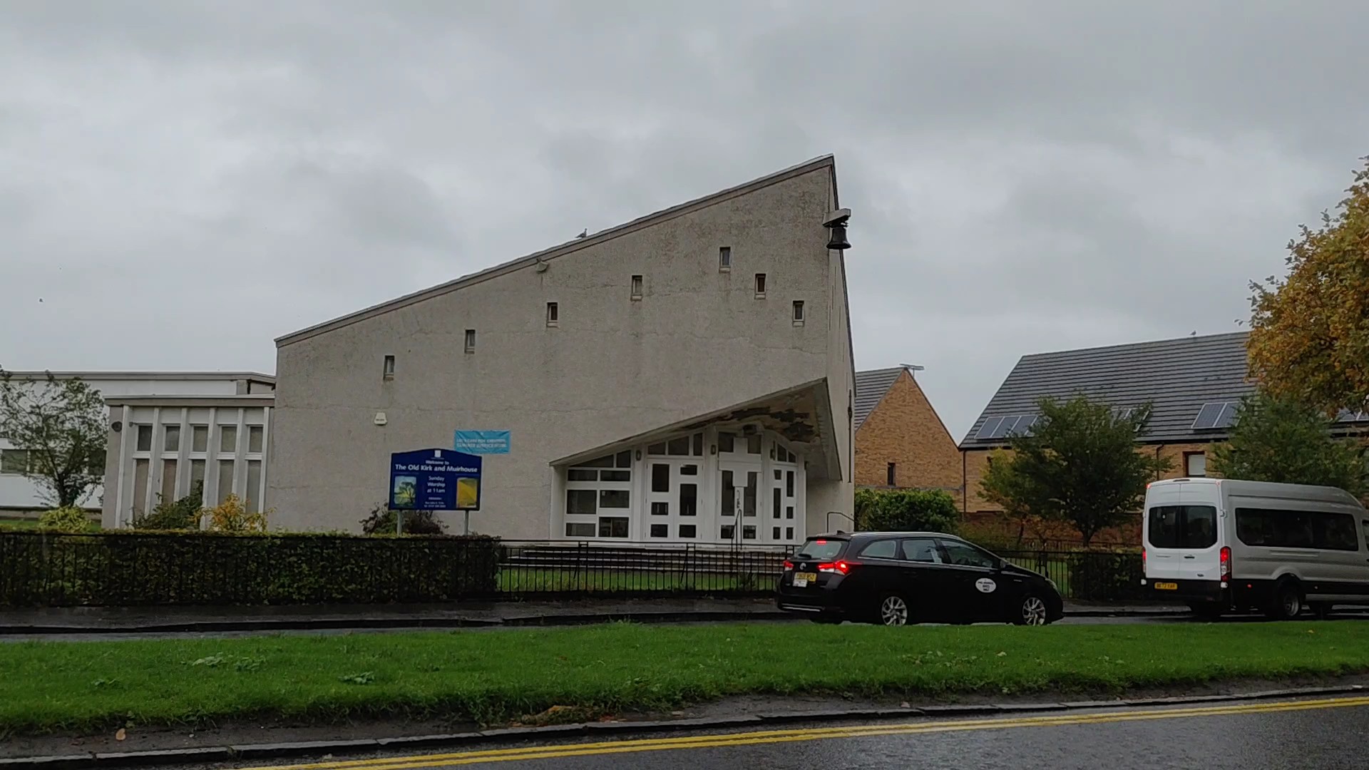
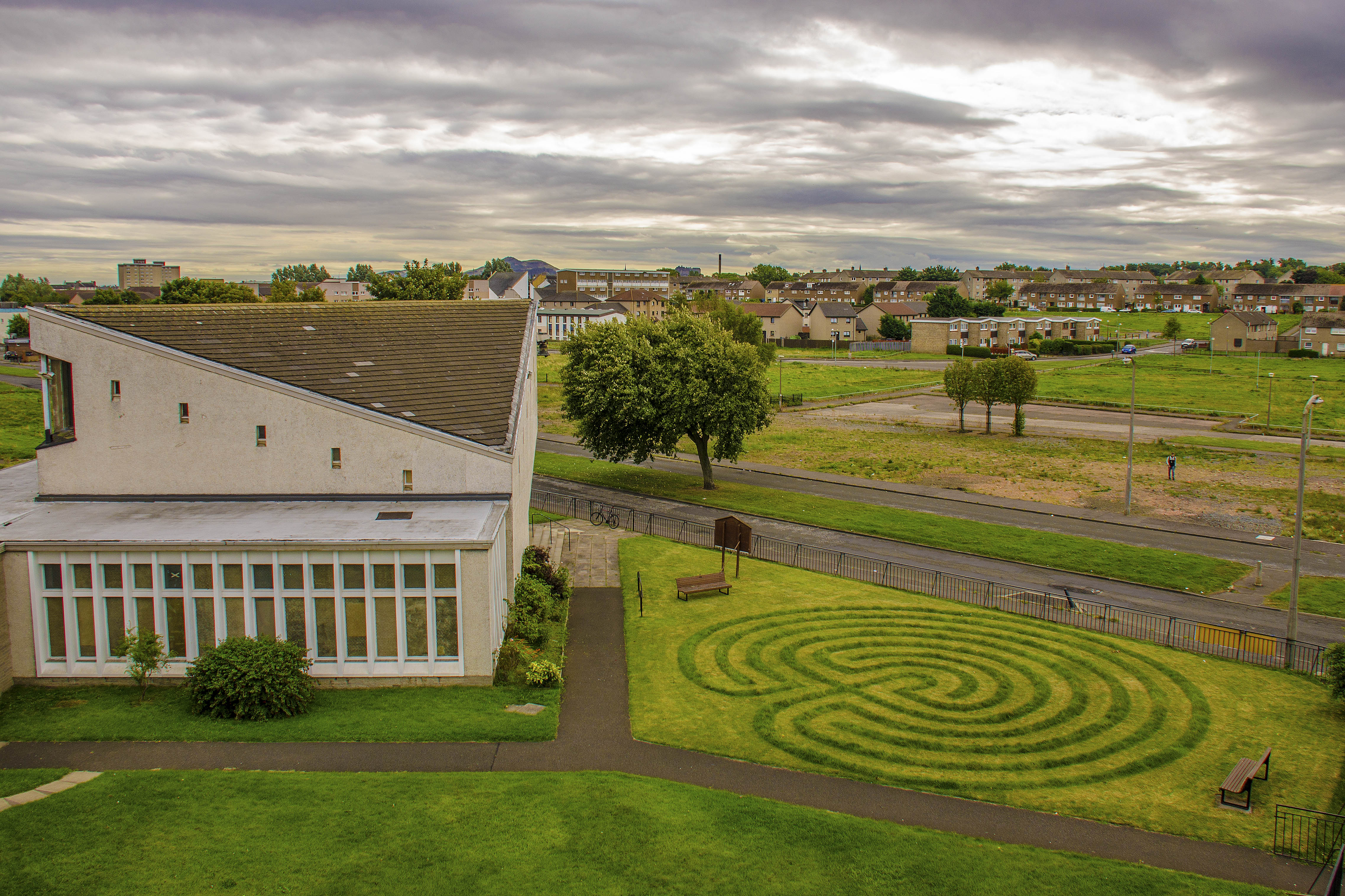
Labyrinth by Natalie Taylor

A Cretan labyrinth in the grounds of Pennywell Kirk (Old Kirk and Muirhouse Parish Church) constructed by artist Natalie Taylor in 2016. It takes approximately 15 minutes to walk slowly into the centre. Commissioned by Centipede Project. Address: 42 Pennywell Gardens, Muirhouse, Edinburgh EH4 4PE.

Upcoming community Walk details and booking link (opens Eventbrite)
Pennywell Arts Heritage Trail

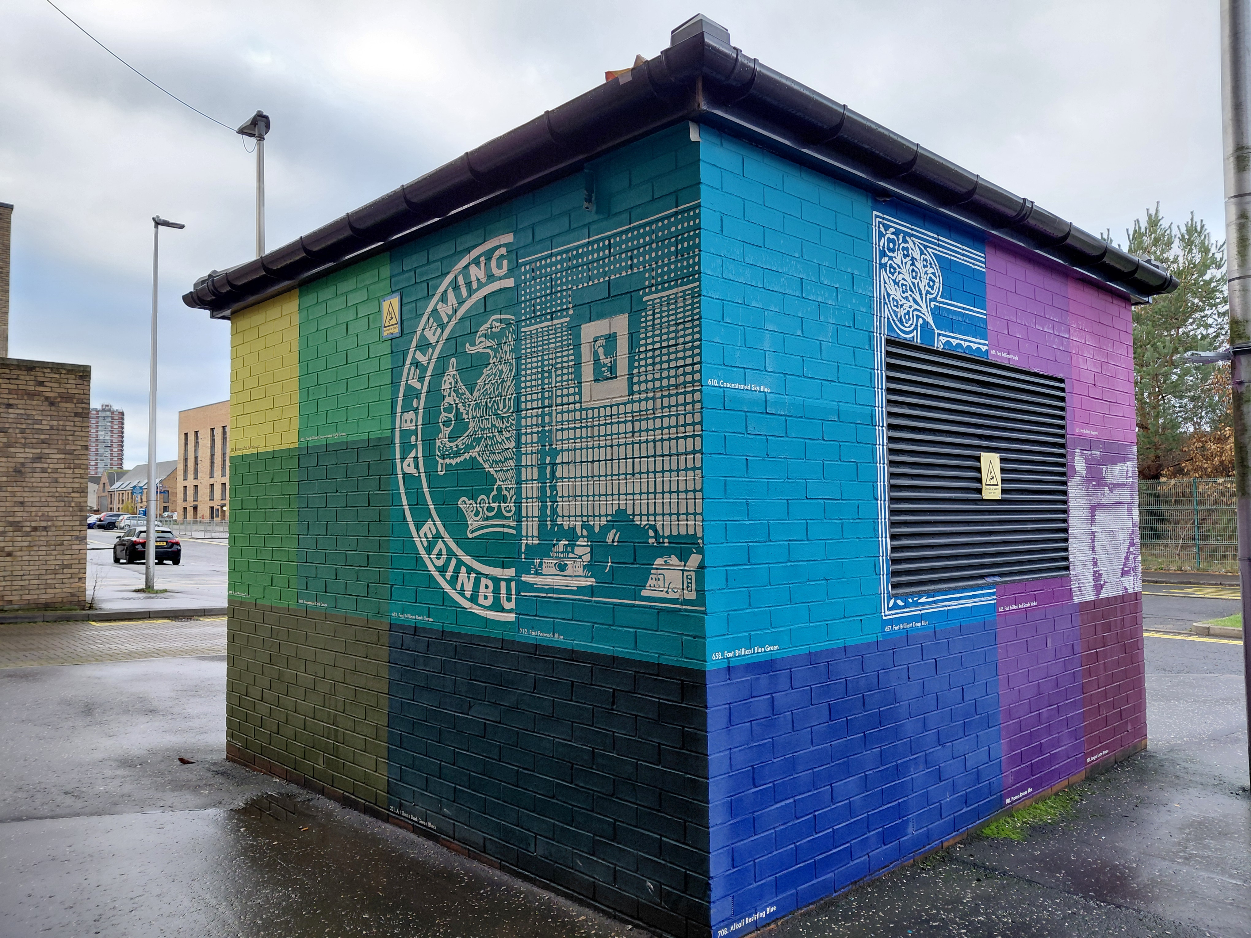
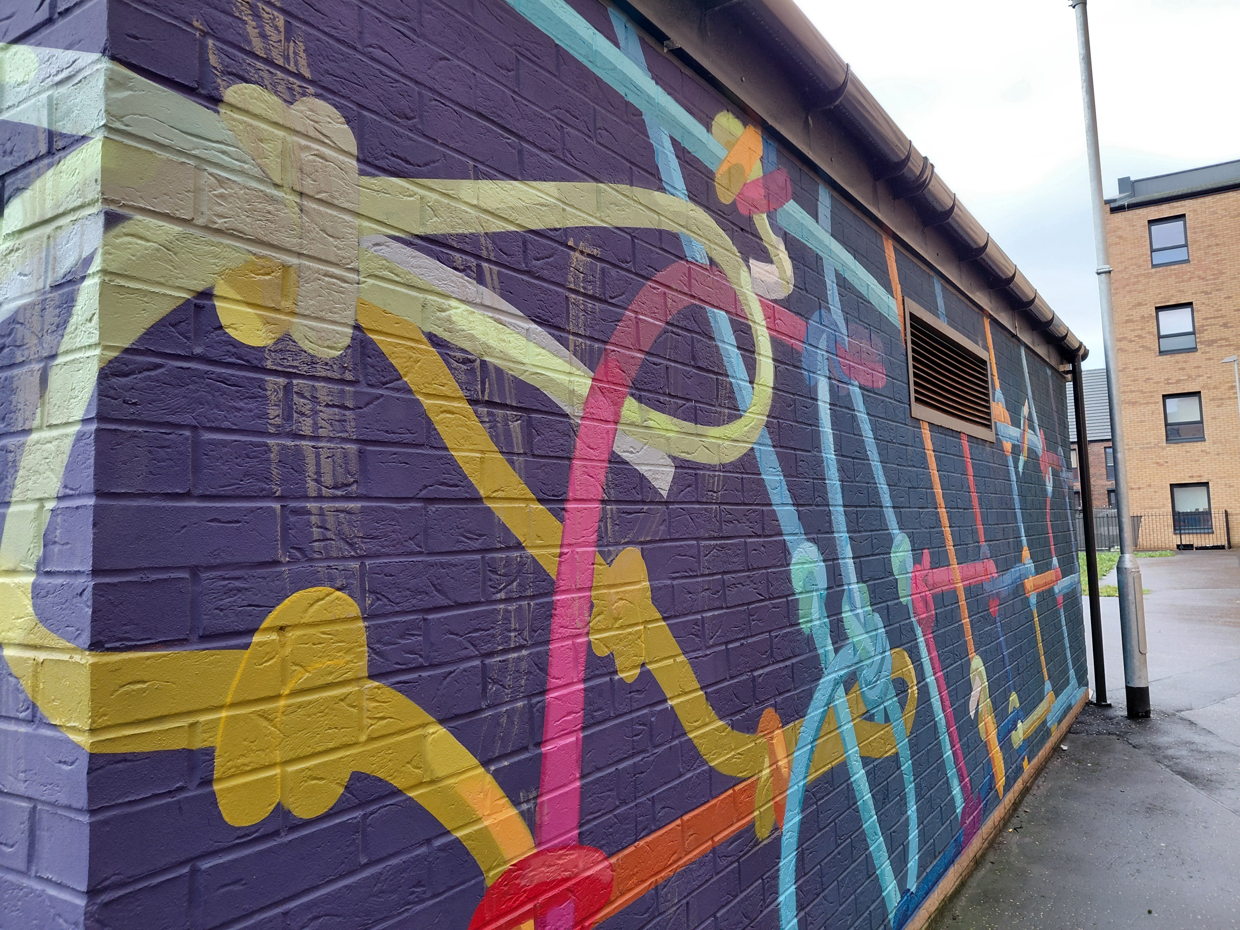
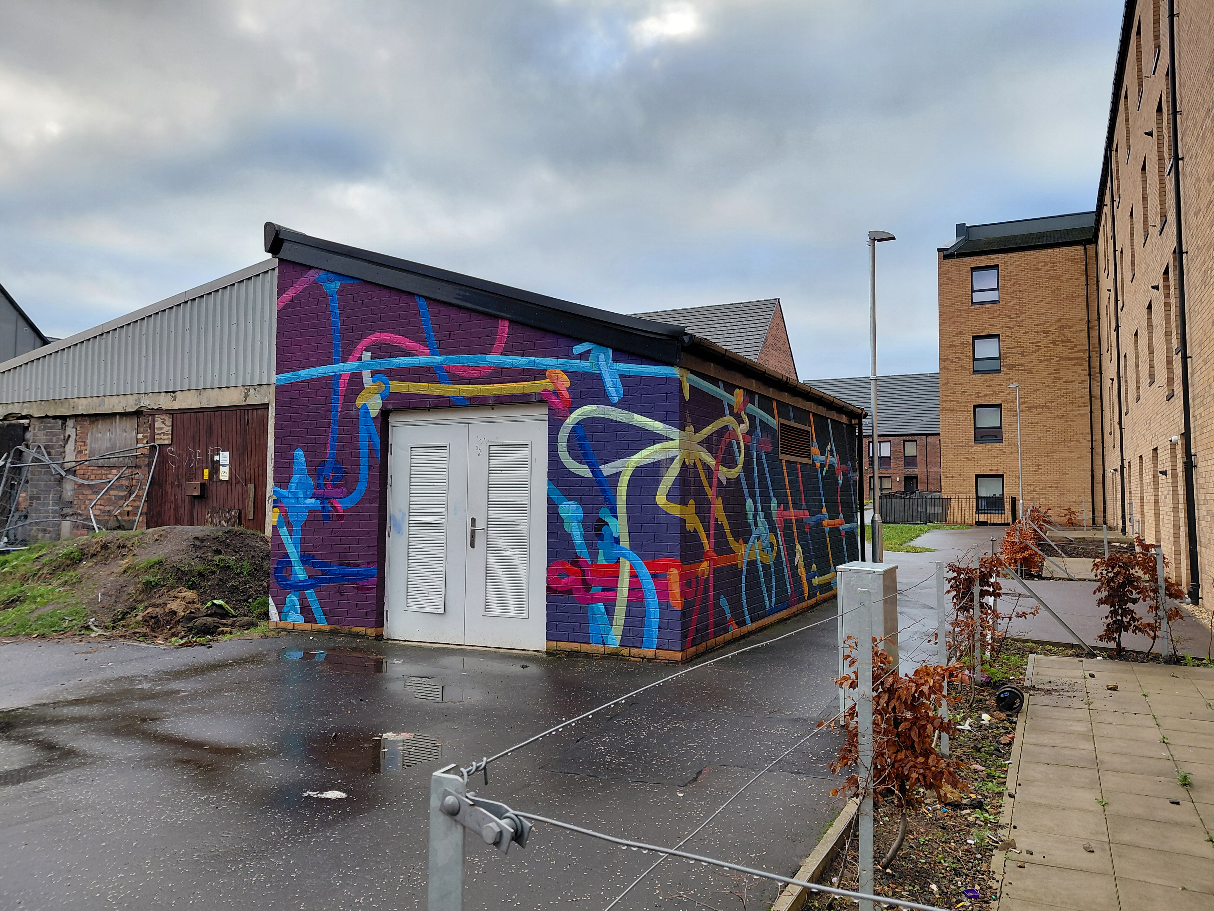
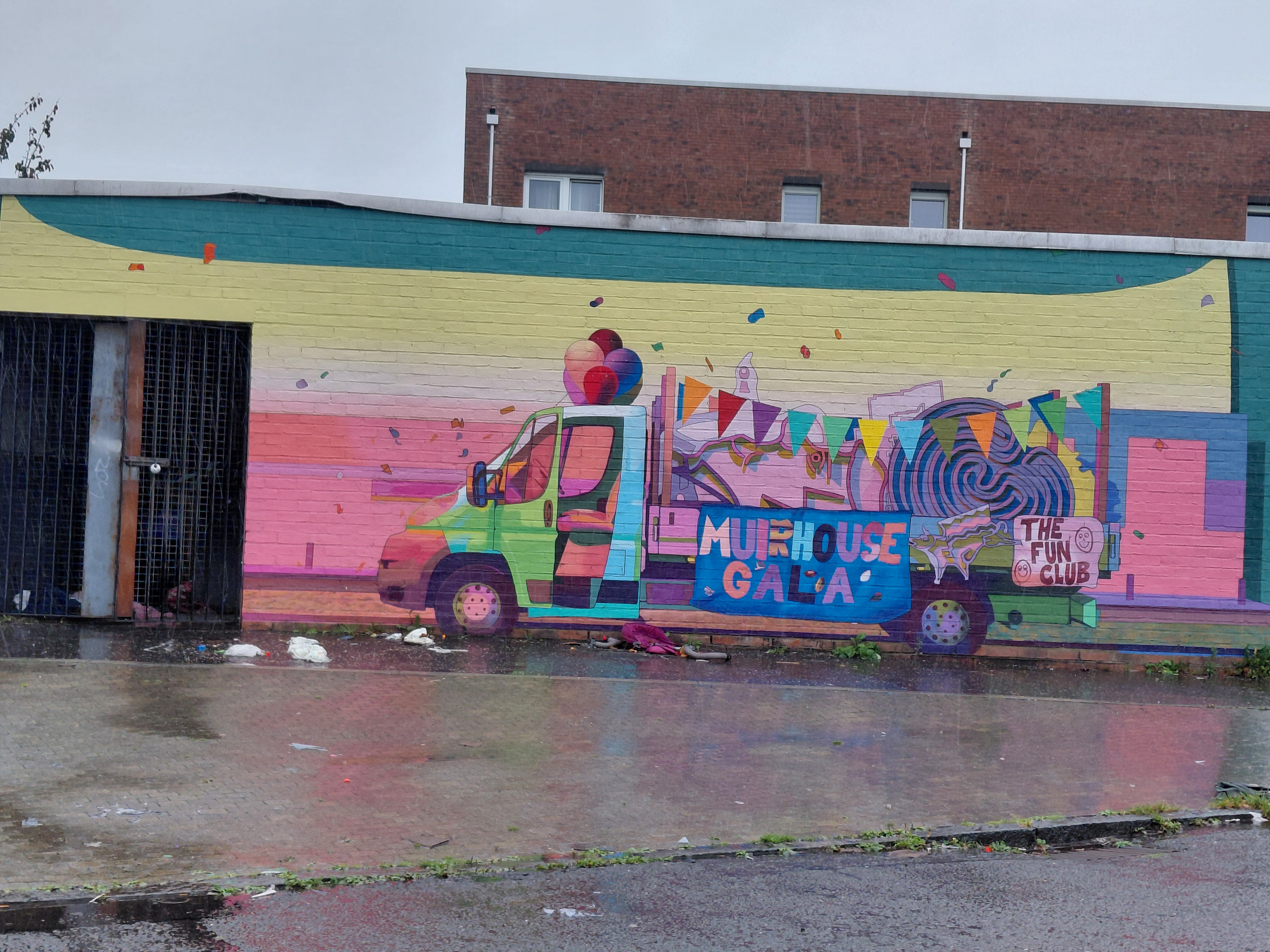
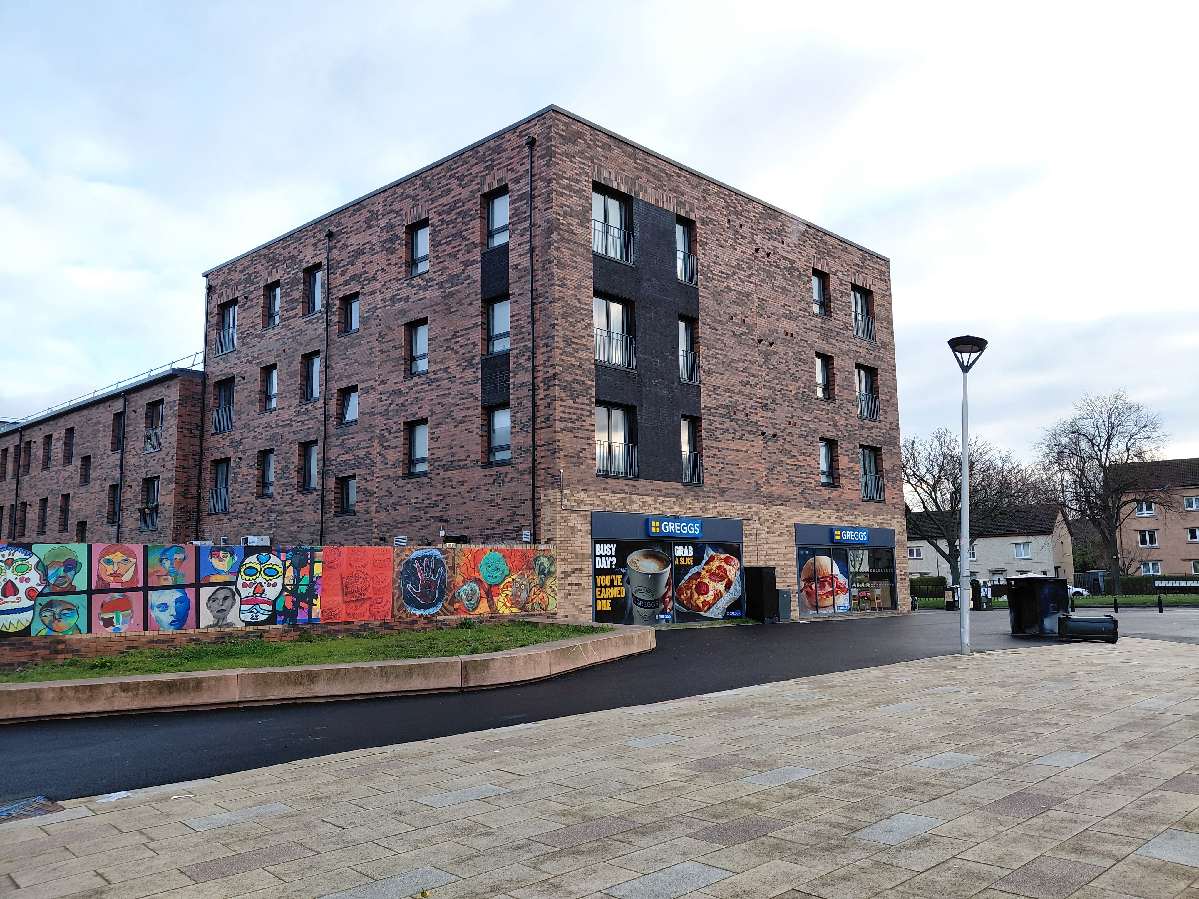
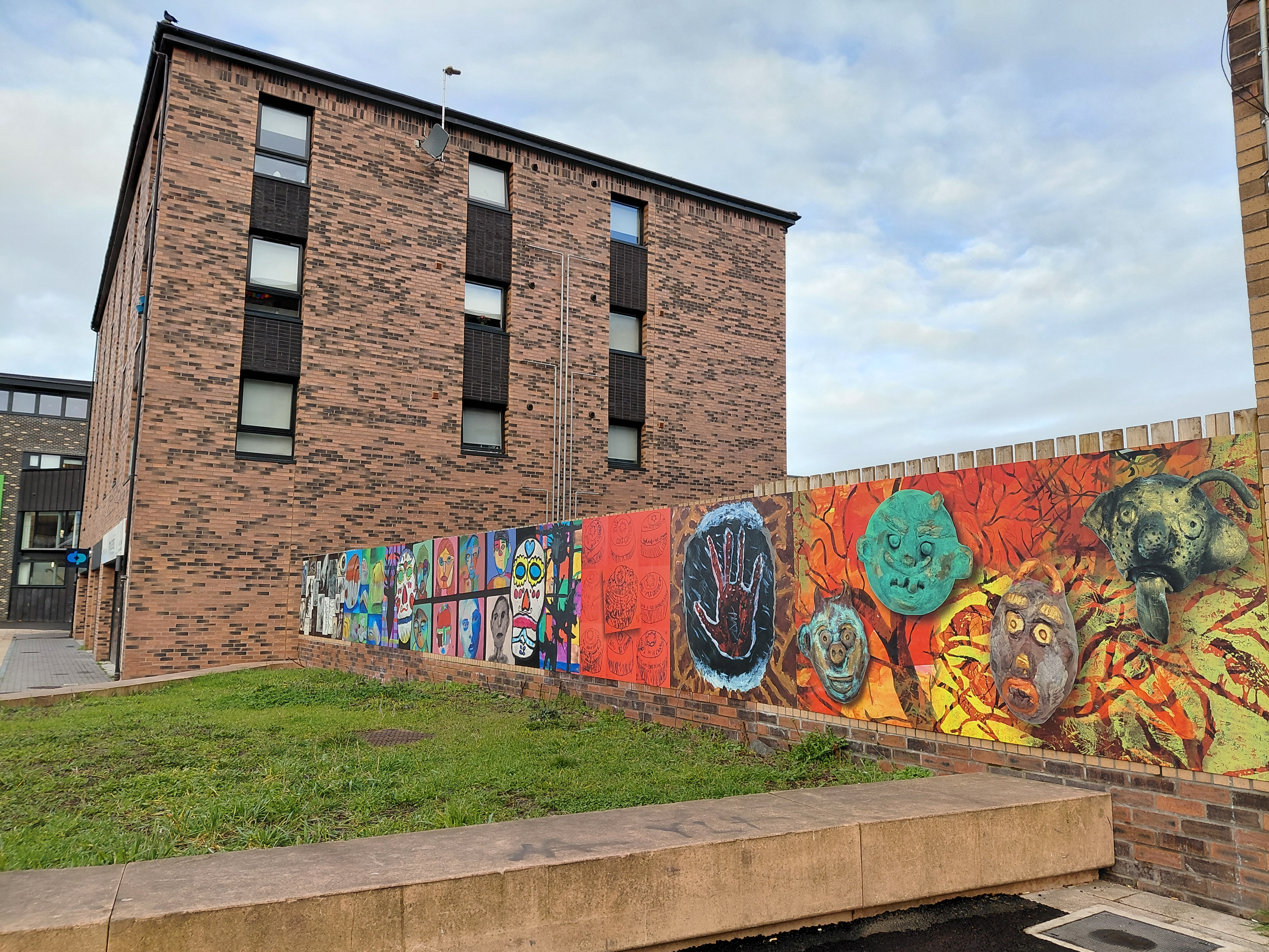
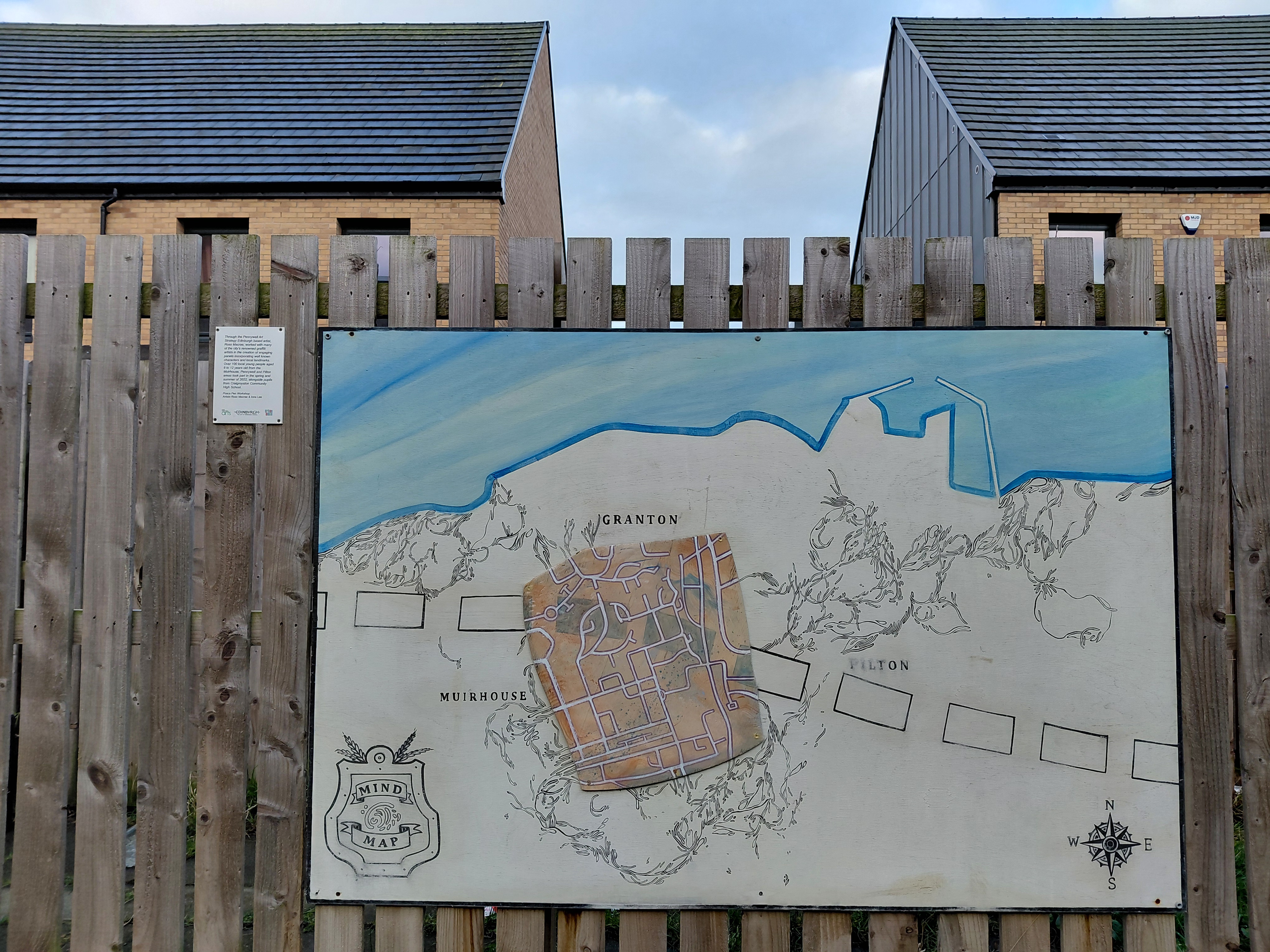
Pennywell Arts Heritage Trail, Muirhouse and Pilton, Edinburgh – murals by artists-in-residence Fraser Gray and Eve Paredes. Eva and Fraser delivered the murals as a result of a range of public consultations and workshops for the local community around the new development. The Pennywell Arts and Heritage Trail was delivered with North Edinburgh Arts, funded by Urban Union and supported by the Edinburgh Council. Fraser Gray on Facebook Muirhouse Festival mural on YouTube

Community Walking and booking link (opens Eventbrite)
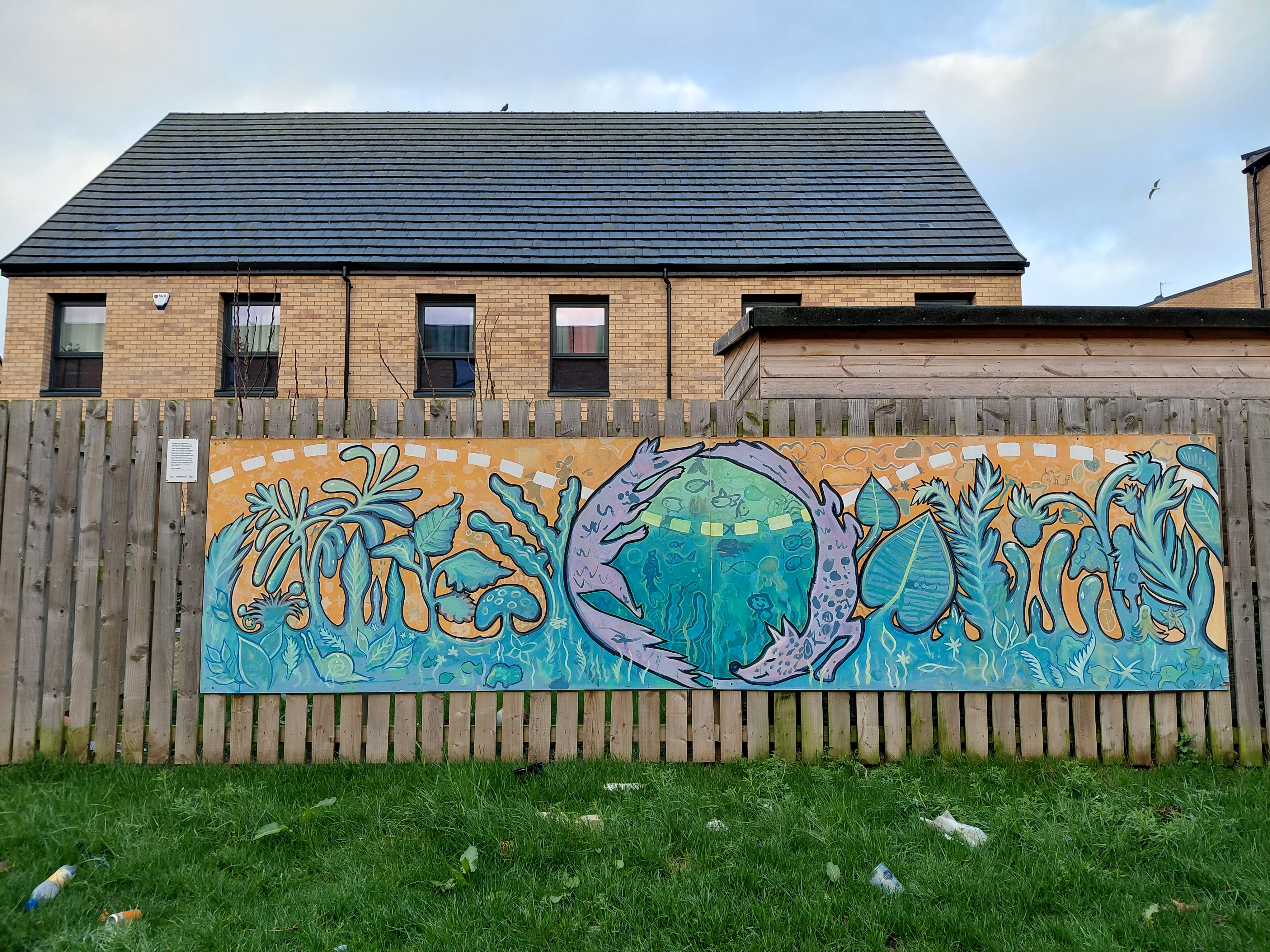
Muirhouse Gala mural by Fraser Gray and Eva Paredes

More Pennywell murals

Granton Gastower whale sculpture

By Svetlana Kondakova Muir, this sculpture depicts one of the Firth of Forth’s most special visitors – the humpback whale. It was commissioned by the City of Edinburgh Council for the new Gasholder 1 public park.
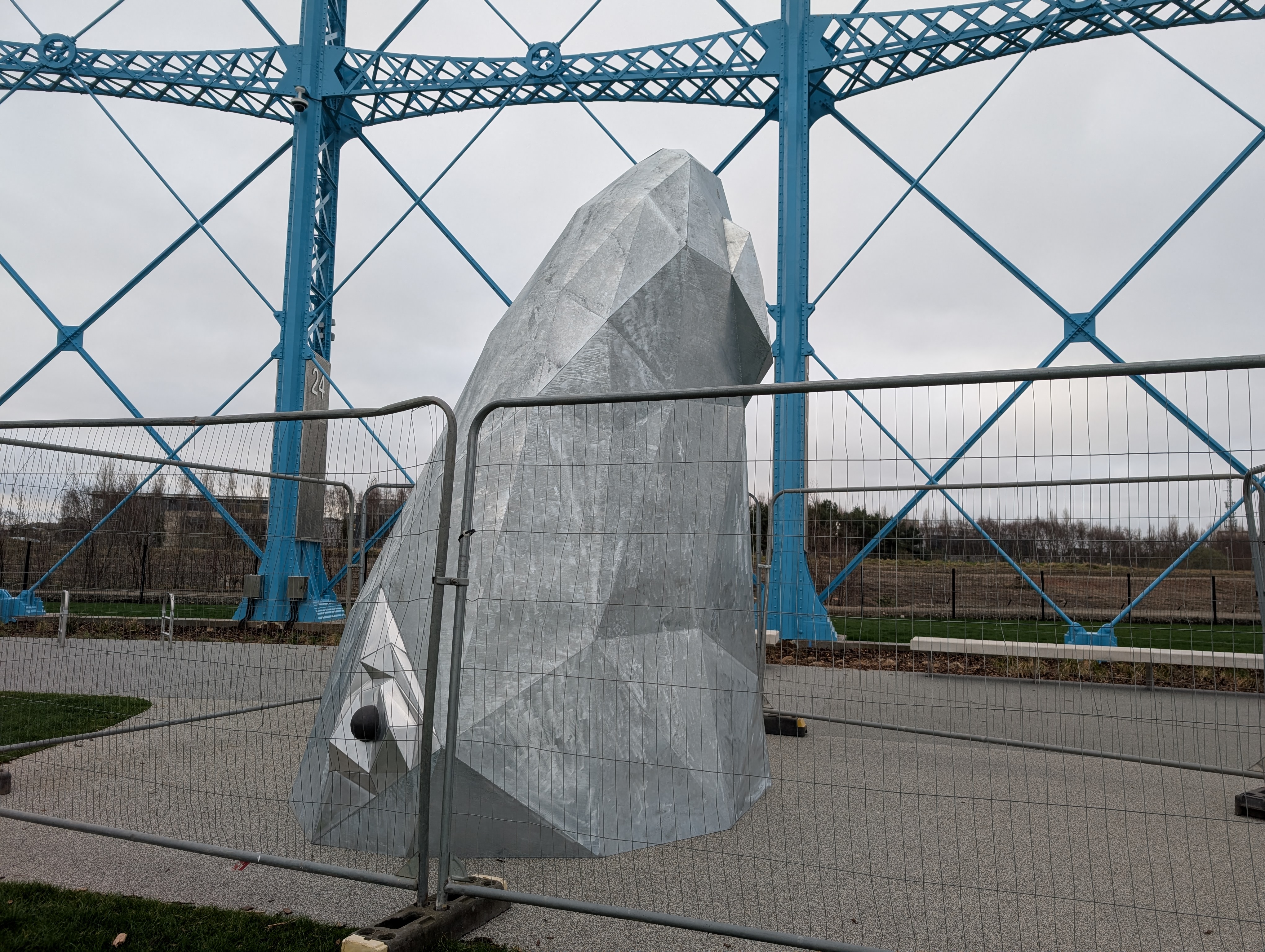
Humpback whale sculpture by Svetlana Kondakova Muir at Granton Gastower

Granton Castle Walled Garden

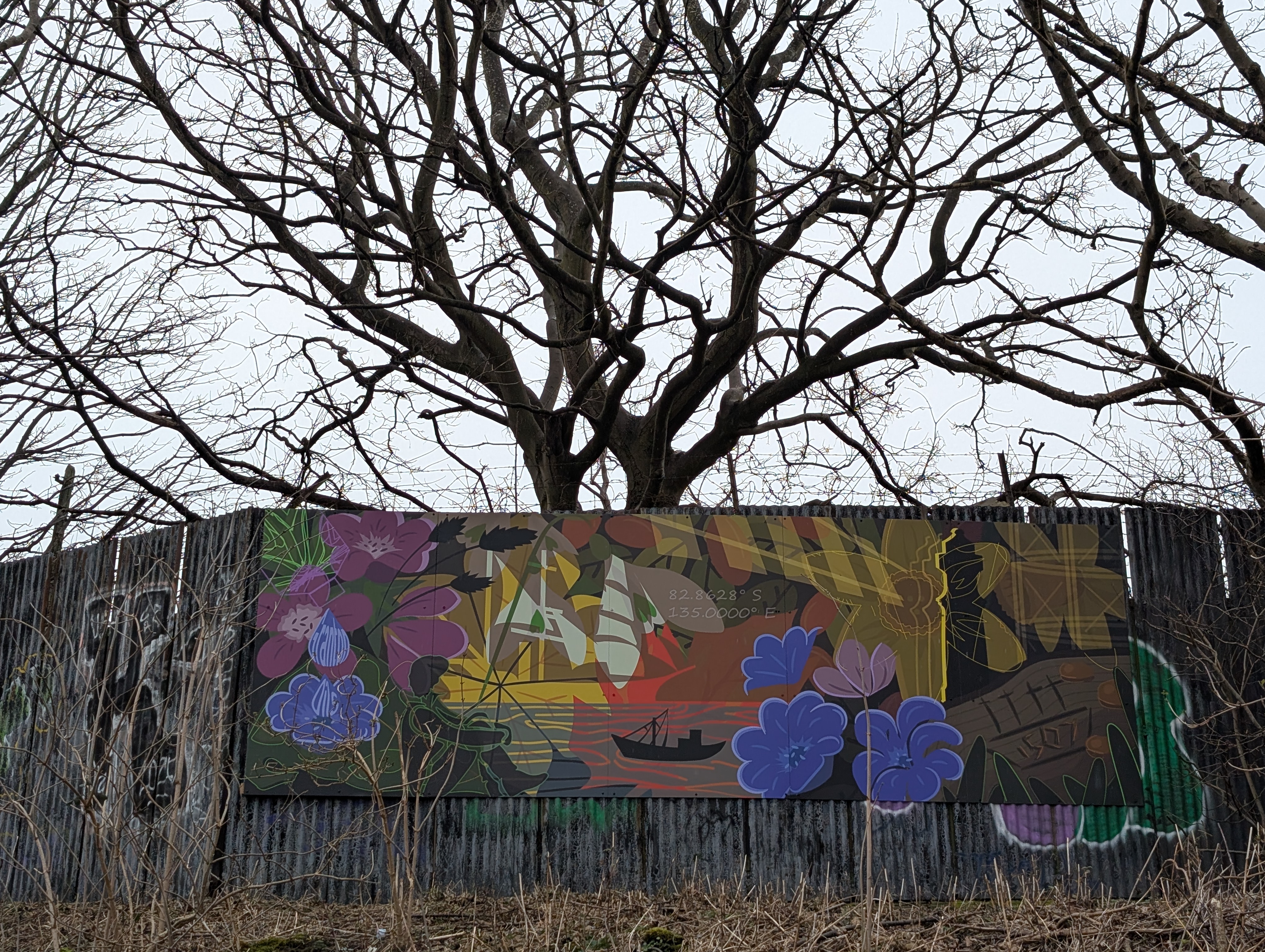
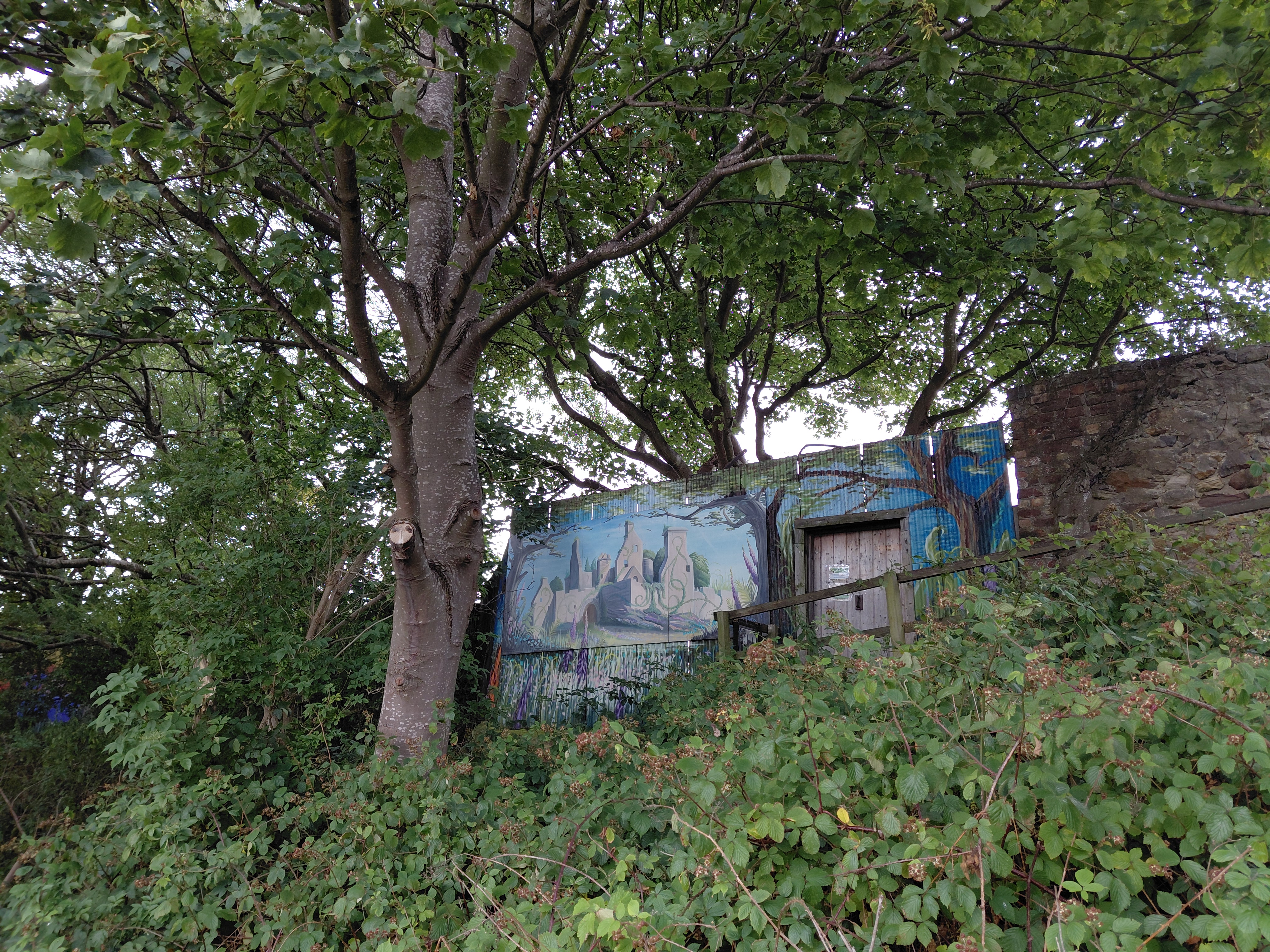
Mural on the wall of Granton Castle Walled Garden by Eve Murray, commissioned by Granton Hub and funded by Sustrans Artroots to speak to the history and culture of Granton.

The mural, with its elements of disguise, requires the viewer to actively look and decipher rather than passively absorb the image. This serves as a metaphor for Granton’s past – there is evidence of lost industries if you know where to look, what to look for and have the want to do so. Beyond this, it addresses a more general need for balance between the industrial world which bolsters economies and communities, and the natural world which we often abuse and will ultimately pay the price for.

Eve Murray
The Wall

A sound walk on the Western Breakwater of Granton Harbour. Approach via Hesperus Causeway. Once on the wasteland, open the soundcloud link and listen on your phone. Sadly, the installation part of this artwork has blown down and been eroded as a result of the weather.
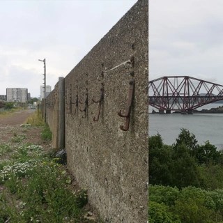
The Wall, sound walk by Tamsin Grainger. Click on this image to listen on Soundcloud as you walk beside the wall

Edinburgh Direct Aid Warehouse (EDA)

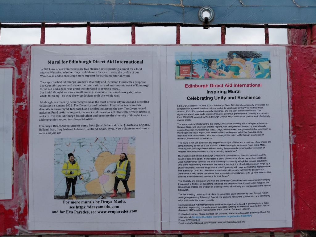
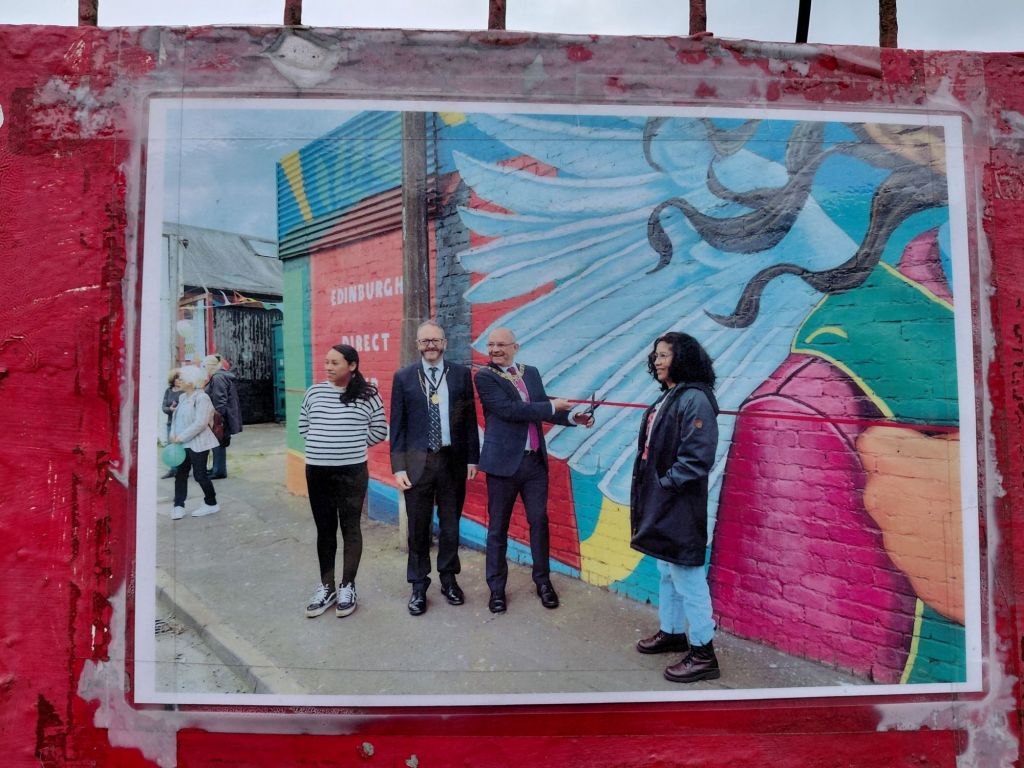
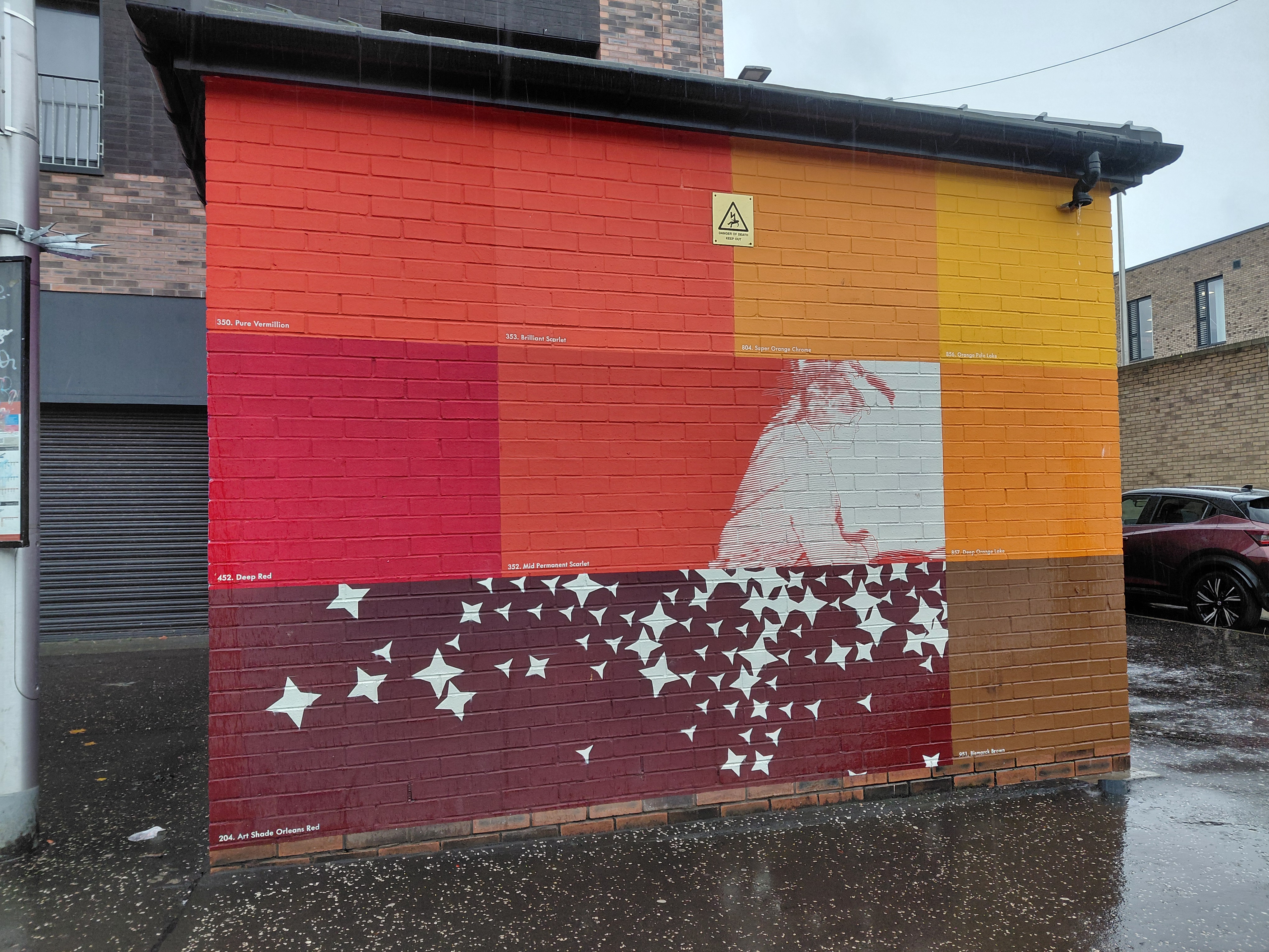
Mural symbolising the spirit of humanitarian aid designed by Mexican muralist Draya Madú who was joined by Mexican artist Eva Paredes and a team of volunteers.

The mural is not just a piece of art; it represents a light of hope and a reminder of our shared and caring humanity as well as a call to action to keep helping those in need

Draya Madú

16A West Harbour Road on the wall of Edinburgh Direct Aid (dedicated to providing humanitarian aid to people suffering as a result of man-made or natural disasters. EDA’s current main projects are in Ukraine, Gaza and Lebanon.) The City of Edinburgh Council supported the artists who created the work through their Diversity and Inclusion Fund.
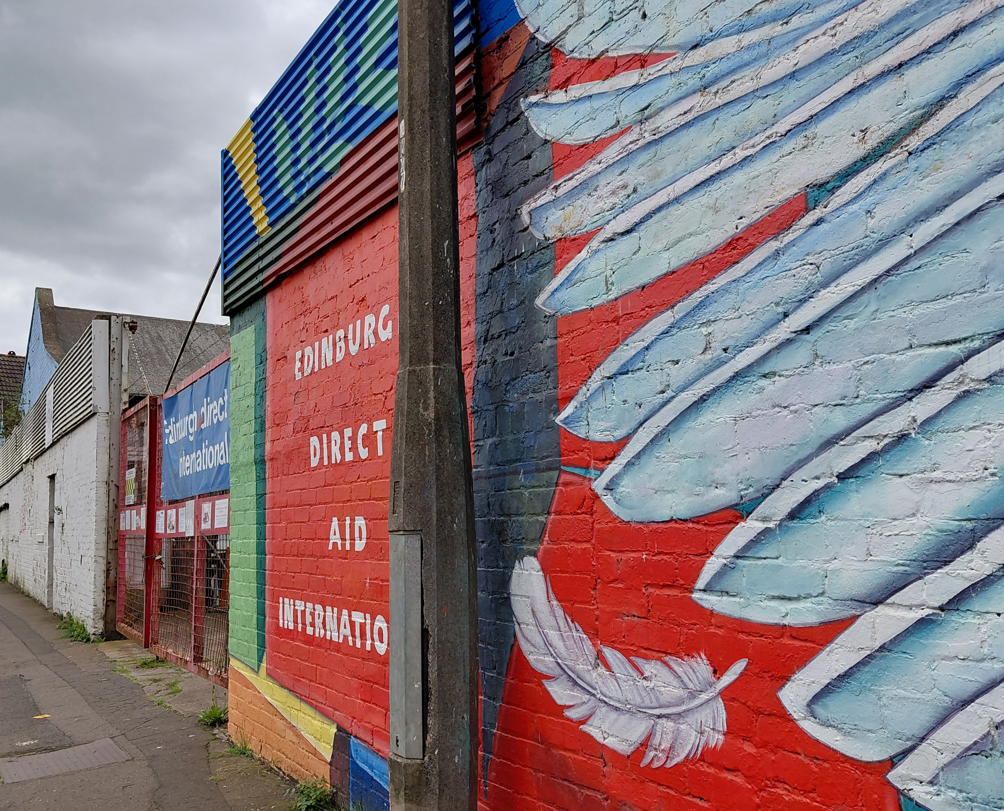

Mural on the wall of the Edinburgh Direct Aid Warehouse, 16A West Harbour Road, Granton, Edinburgh EH5 1PN

Covid Memorial Trail

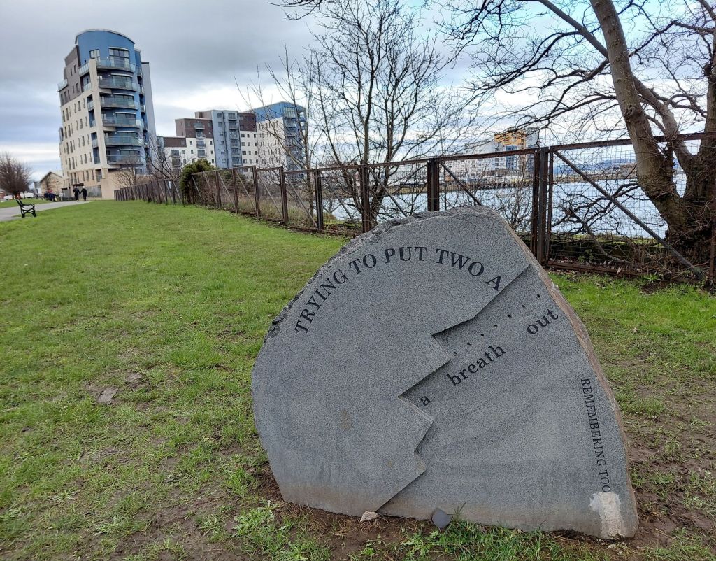
This links nicely to the Covid Memorial Trail, ‘Remembering Together’ by Skye Loneragan in collaboration with Stewart Ennis. It was funded by Greenspace Scotland and supported by Artlink and the City of Edinburgh Council. The project explored experiences of the pandemic, with the goal of highlighting the challenges faced by disabled people, while also celebrating their resilience and potential.was installed in the Wardie Bay area
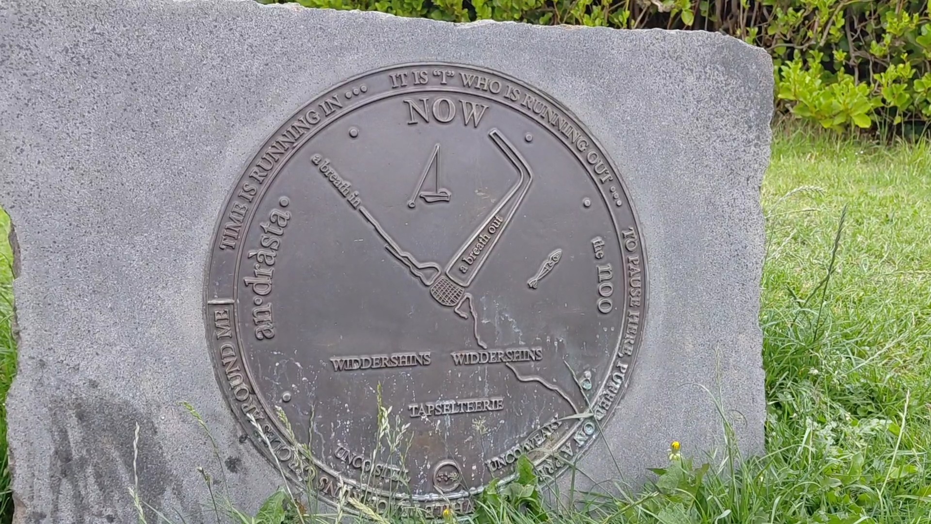
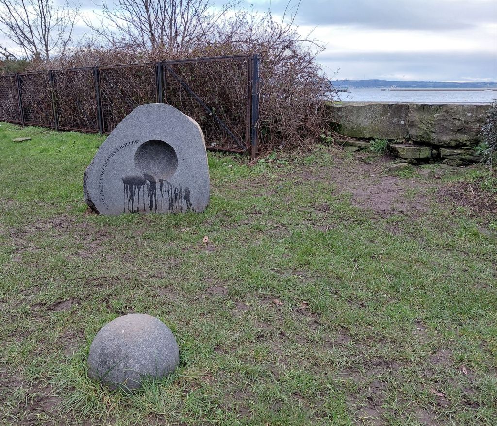
Widdershins sculpture near Wardie Bay by Skye Loneragan and Stewart Ennis – Covid Memorial Trail
Sometimes Loss Leaves a Hollow, Covid Memorial Trail, Edinburgh
Covid Memorial Trail, Edinburgh

North Edinburgh Arts

North Edinburgh Arts (NEA) is somewhere for local residents to relax, explore, learn and get creative together. From art to dance, music to textiles, woodwork to yoga, they offer over 30 hours of workshops every week, with something for all ages and interests to enjoy. There are films, theatre performances, and a cafe (open Monday- Saturday), with Muirhouse library next door and a good ice cream shop nearby. The address is North Edinburgh Arts, 12C MacMillan Square, Edinburgh, EH4 4AB and it is served by bus numbers 17, 24, 27, and 37 with bicycle racks outside.

hubCAP Gallery

Artist run gallery and events in North Edinburgh.

You may also like

Textile map of The Granton Burn (the western boundary of Granton.) On show at Riddles Court Lawnmarket Edinburgh.

The Edinburgh Collective art trail Artworks along the Roseburn to Uniona Canal Cycle Path.

Earth in Common art roots container project Leith, Edinburgh

R2 North Edinburgh Response and Recovery Project Musical Movement, an active travel event on the path between Gypsy Brae and the Brick Beach in North Edinburgh, including the completion and unveiling of murals on the planters at Gypsy Brae.
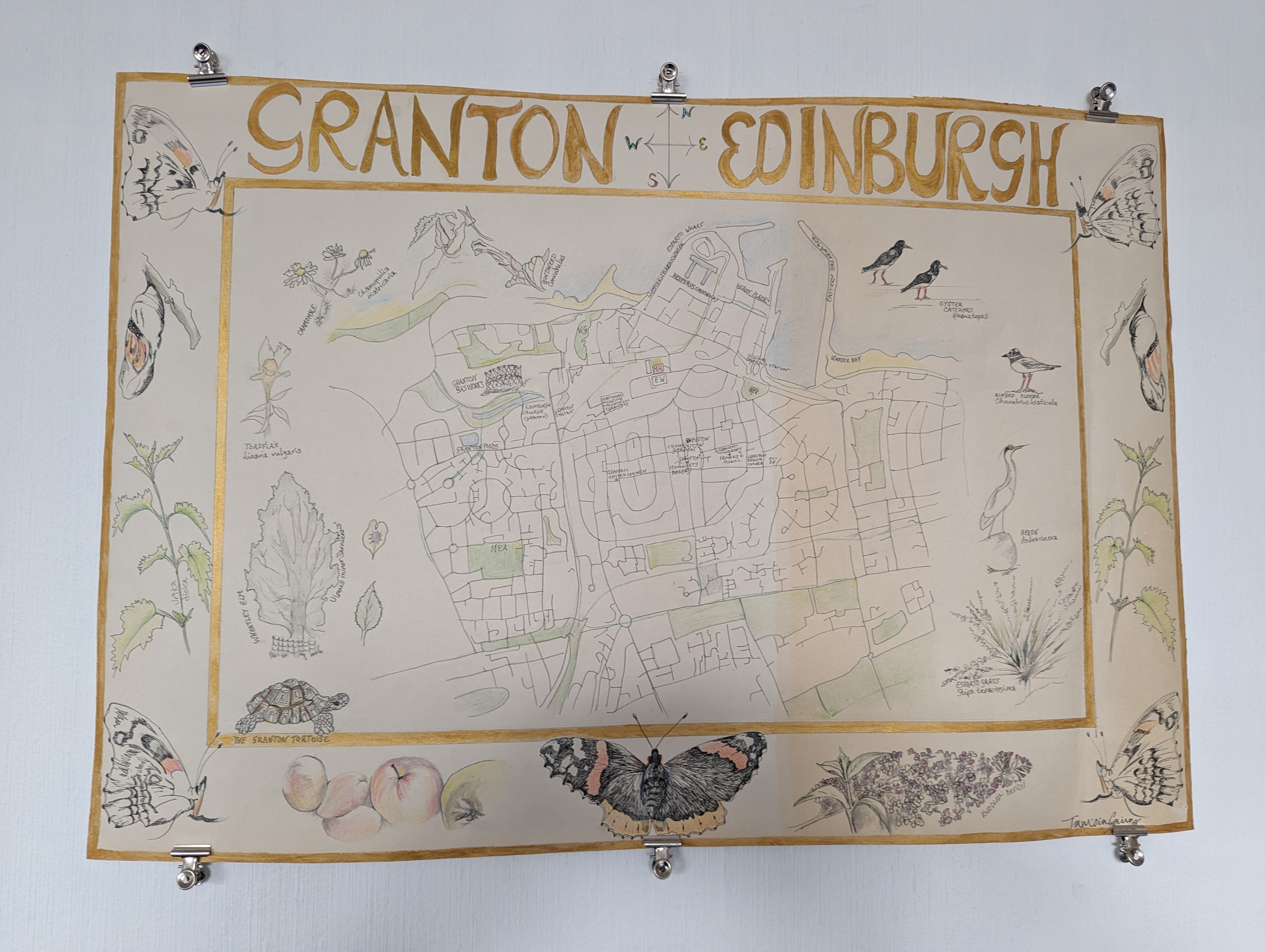
The Granton Burn, a textile map by Tamsin Grainger

All photocraphs copyright Tamsin Grainger unless otherwise stated.
These Old Paths

A film made during and in response to the January 2026 First Friday Walk, prompted by Lucy Guenot.

She wrote, “Let’s think about the walks and the paths and tracks that are most familiar to us: the comfort of taking a well-known route where you don’t need to think about directions or following a map.”

“Reflect also on the history of old tracks, made by centuries of walking:

"These are old paths, designed

And kept alive by feet

For whom walking was

The only way of going.

These are the treads of workers,

Plodding early with their bait

To quarries, mills, farms …"

From 'Wotton Walks’ by U A Fanthorpe."

I was booked on the train from London to Edinburgh on January 2nd, so I could not walk. Instead, I filmed the countryside, cities, and full moon through the window as we rushed past. To make the work, I slowed the footage down and juxtaposed it with the sound of me walking a familiar walk between my home and the nearby beach.

On the train, I didn’t need to think about directions or following a map, I was simply carried along. This was a ‘comfort’ of sorts, though walking is better for my hips than sitting down for long periods. I had time to think that the train tracks between Scotland and England were laid down over the same earth that drovers walked on from the Highlands to the Lowlands in the 18th and 19th centuries. These epic walks were with dogs, sheep, and ‘hardy black cattle’.

By contrast, I walked on striped LNER carpets, bumping into the seats on my way to the buffet, loo, or the end of the carriage to stretch. Standing looking out, I remembered the old school trains which had windows which opened. I used to lean out as far as I could and feel the fast air on my cheeks. 

First Friday Walks are community, walks in-person or remotely, with members of Walking the Land Artists Collective.

@lucyguenot #firstfridaywalk

Walking in Pairs 3 – Mapping

Mapping / Woods

Kristina Rothstein and Tamsin Grainger took a third walk, together yet apart in October 2025.

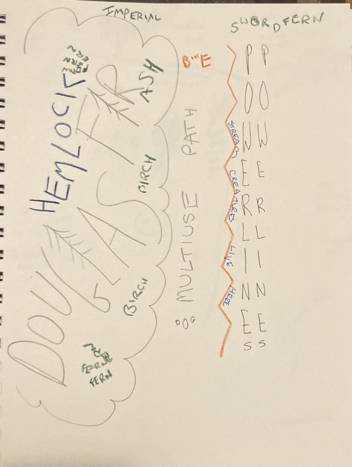
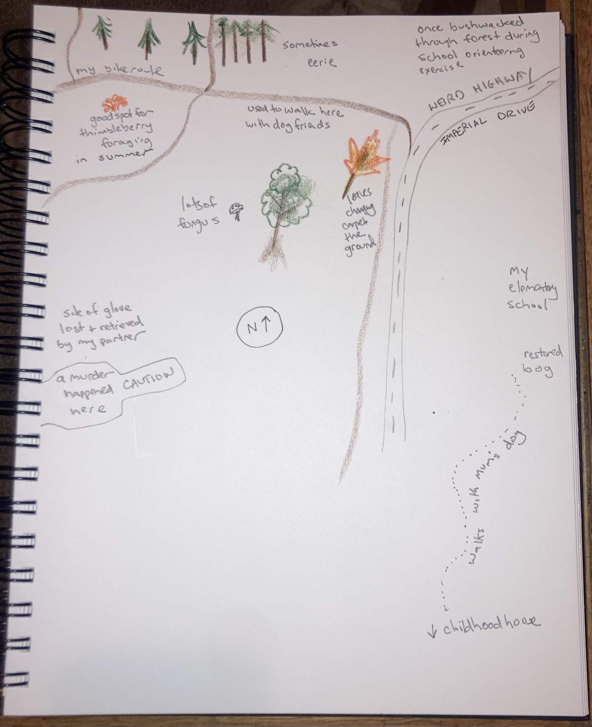
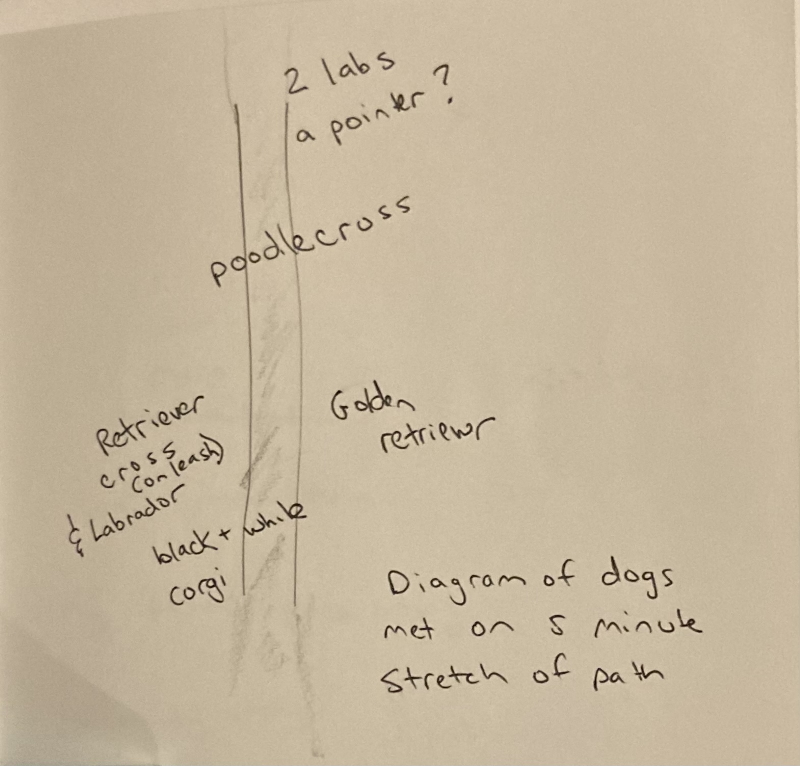
We walked at the same time as each other, Kristina in Canada and Tamsin in Scotland, agreeing that the location would be woods, and the subject, mapping. Stopping at 20, 40 and 60 minutes, we drew and/or recorded verbal maps on site and then followed up with artwork that included collage and video.

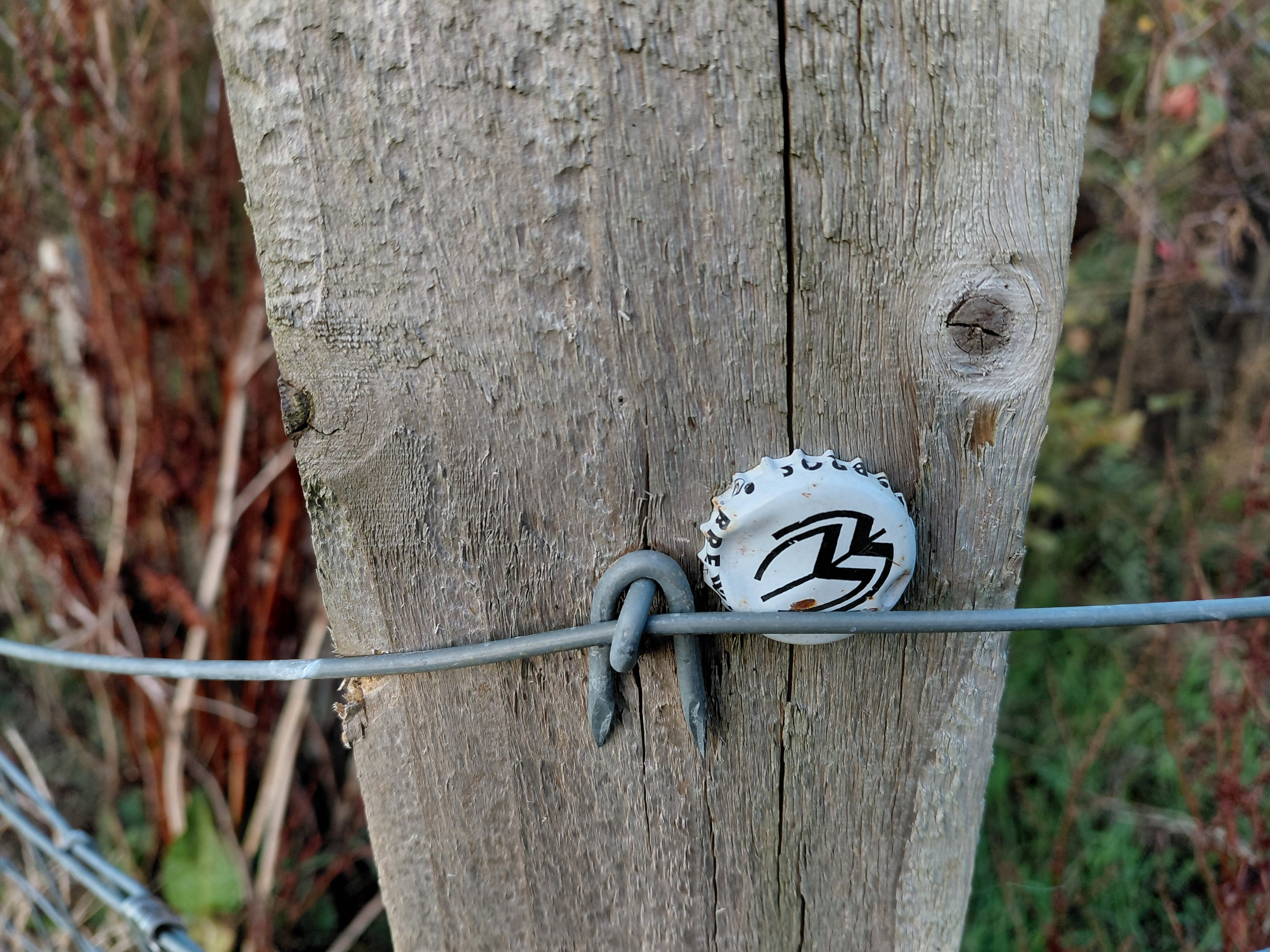
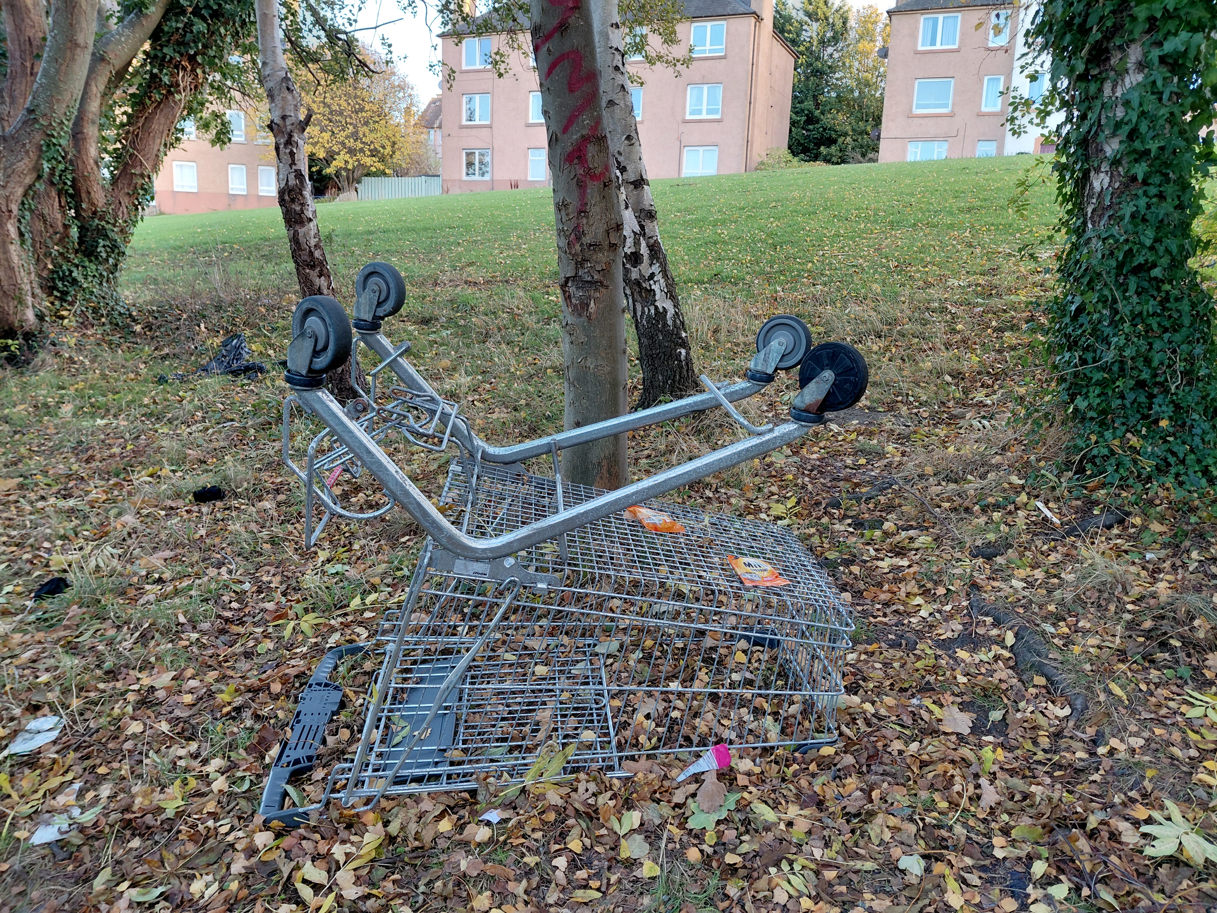
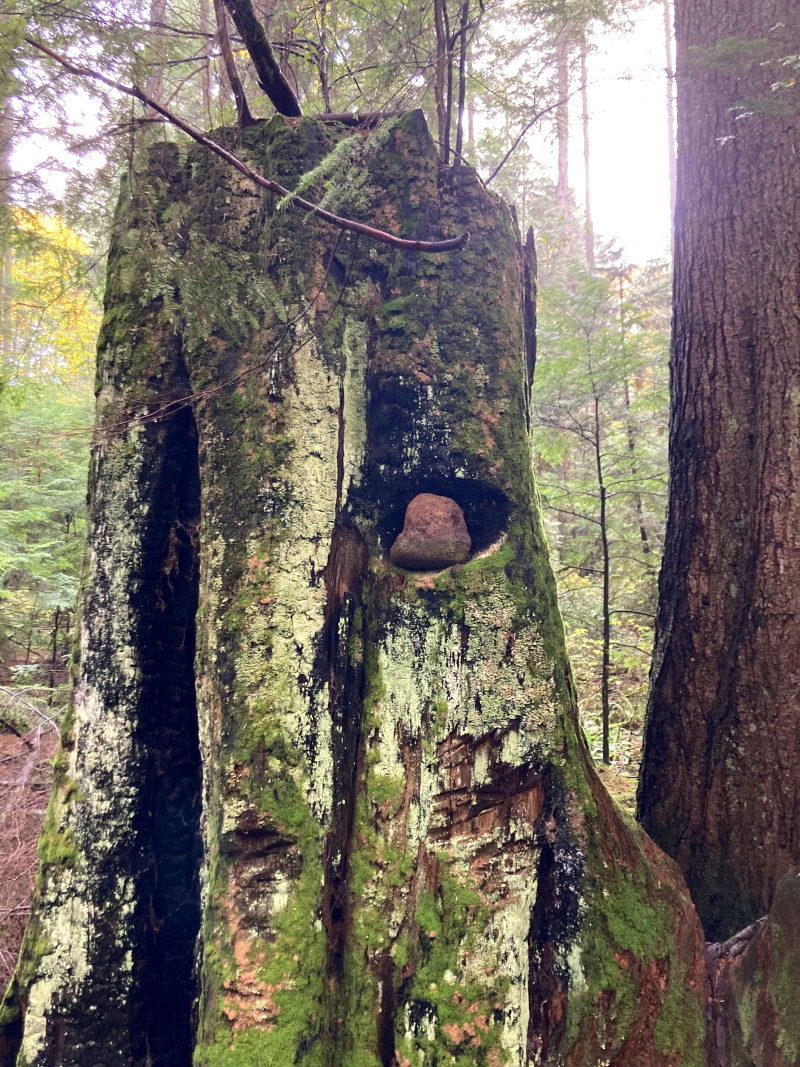
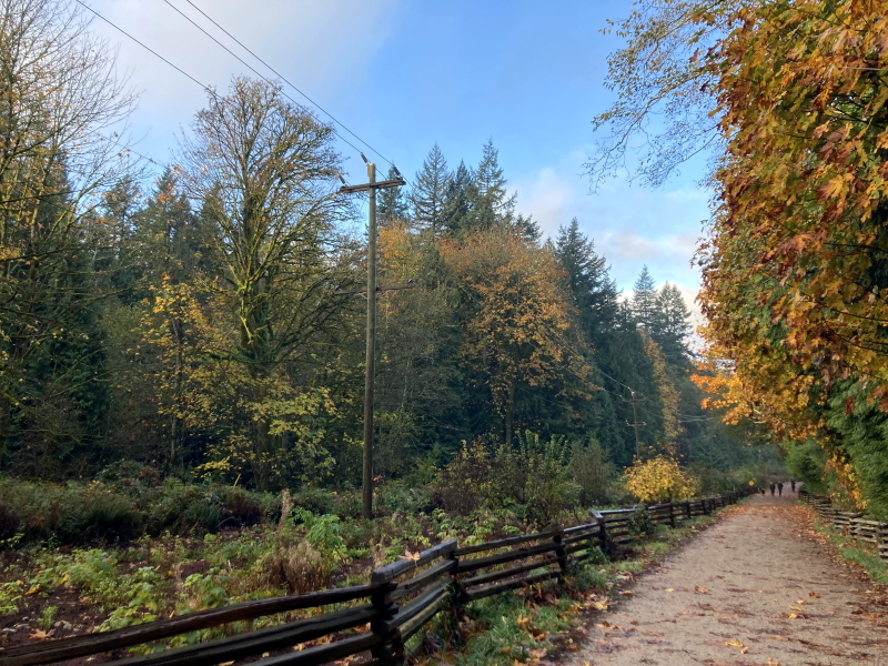
The top two images above were taken by Kristina Rothstein in Canada and the two below by me, on our Woods Walk.

The top two images above were taken by me, and the two below by Kristina Rothstein in Canada, on our Woods Walk.

The three illustrations above show Kristina’s maps of words, memories and dogs respectively.

This video shows images (photographic and hand-drawn in pencil), from Tamsin’s walk in Scotland, together with recorded audio maps of the natural species found in the woods, and the rubbish that threatens to engulf them. It also includes two collages made using the InCollage app and paper/glue/scissors.

Links

This is a Walking the Land project.

You may also enjoy this blog about our first walk.

Kristina on Bandcamp with her audio walks and more, including Unwanted Belmont.

Tamsin’s walking art and new writing

Walking in Pairs 2 -Tokyo / Edinburgh

For our second walk together-apart, Kristina Rothstein and I walked in Tokyo, Japan and Edinburgh, Scotland respectively. 2nd October 2025. The agreed location was the city, and coordinated stops were scheduled for the beginning, middle and end. We were looking for found words to make into a poem.

Kristina’s walk

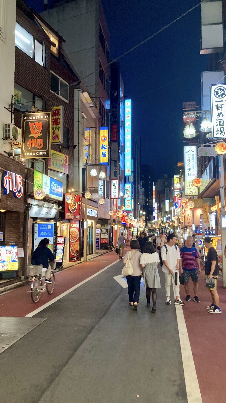
The walk started at 7pm Tokyo time, on the last night of my three and half week trip to Japan. Japan does not use daylight savings time, so it was completely dark. It was a clear night with a half moon. I started my walk at Luke Jerram’s “Museum of the Moon” installation at the Shimokitazawa Moon Festival, located at the Shimokita Senrogai Open Space. Shimokitazawa is a hip neighbourhood on the west side of Tokyo with lots of small independent shops, cafes and bars and very narrow, vibrant streets. I have only spent 10 days there but it is the distract of Tokyo that I know best.

There were many young, excited visitors to the moon installation, taking selfies and buying snacks. I did not plan a route, but a general circuit. I walked along a greenway for 5-10 minutes, which is lit and moderately travelled. After that I headed into residential streets. In sharp contrast, almost all were completely deserted, even at this relatively early hour. Tokyo’s narrow residential streets discourage traffic, so I saw no cars and only a few pedestrians. I passed a few bikes and one cat. I heard many chirping insects as if in the countryside. I crossed several level crossings. Some streets continued in a long straight line, but most were on an irregular grid. After over half an hour weaving through these quiet backstreets, I emerged back to the bright streets of convenience stores, restaurants, apartment buildings, hair salons, and grocery stores.

The sensation of the walk was strange. To wander with no destination in the evening in an unknown city was unusual for me. While on busy streets I observed people from more of a distance than I usually might. It was also odd to be on such quiet residential streets when I was not walking to one of those residences.

I imagined Tamsin in a part of Edinburgh that perhaps she didn’t visit often or didn’t know as well as other parts, seeing streets as if a foreigner. I felt a sense of many more residents walking those backstreets, an urban bustling that was perhaps more evenly spread out than what I experienced. I imagined the shift from moonlight to daylight and back. In this unfamiliar setting I found it a bit easier to receive impressions and ideas than to transmit my own, though I certainly tried.

Kristina’s poem

Moooooooon 
Light and bright, it hypnotizes and drags crowds to its orbit, hands rearranged to hold the moon up in the sky

Stepping stones. Cobble stones.

Open. Kien. Café & kimono bar. Beer & coffee.

Mushi mushi, Japanese kitty! Oh you are a shy kitty. Off on your Night business my friend. I love you. Sayonara.

“I have no idea who James is.
And now it’s available. awesome!”
Siren-like tones ring
Ding ding ding ding at Level crossings clang clang every three minutes.
Dog walk bark

Then. So quiet
Leaves whisper and the chirp of crickets
Chirp chirp chirp
sussuration, or stridulation
words I just learned
One of my favourite sounds to sleep to

Is everyone tucked away at home or are they out on the town, eating drinking fun in a Myriad of tiny spaces where you can get a fresh botanical soda or an experimental music tape or Ramen handcrafted by a man who lives upstairs or take a selfie in front of the moon projection

“You really feel like you’re somewhere different”

Play table tennis
Recipe shimokita
Caution crows
Underground rock Café stories

Just One Cat
Up To Per Person

DING DING DING DING

Prohibitions and manners around Shimokitazawa Station:
No smoking
No littering
No graffiti
No street vending
No parking
No skateboarding
No nuisance

“And so many even, oh!”

bird song or the hum of an air conditioner or the whistle of an exhaust pipe or a tiny delivery van, the silence of headphones.

Clang. Chirp.

And now it’s available. awesome!

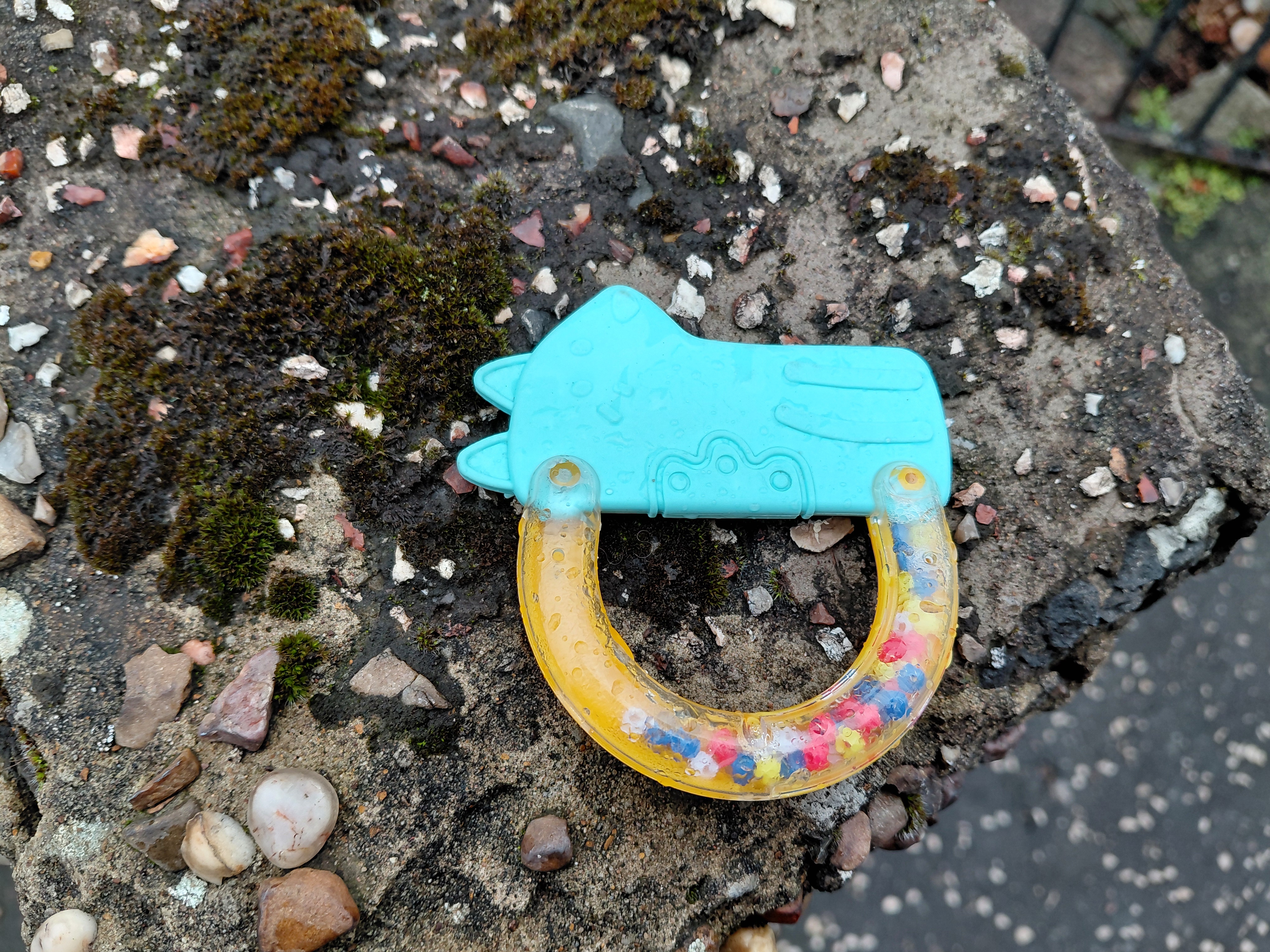
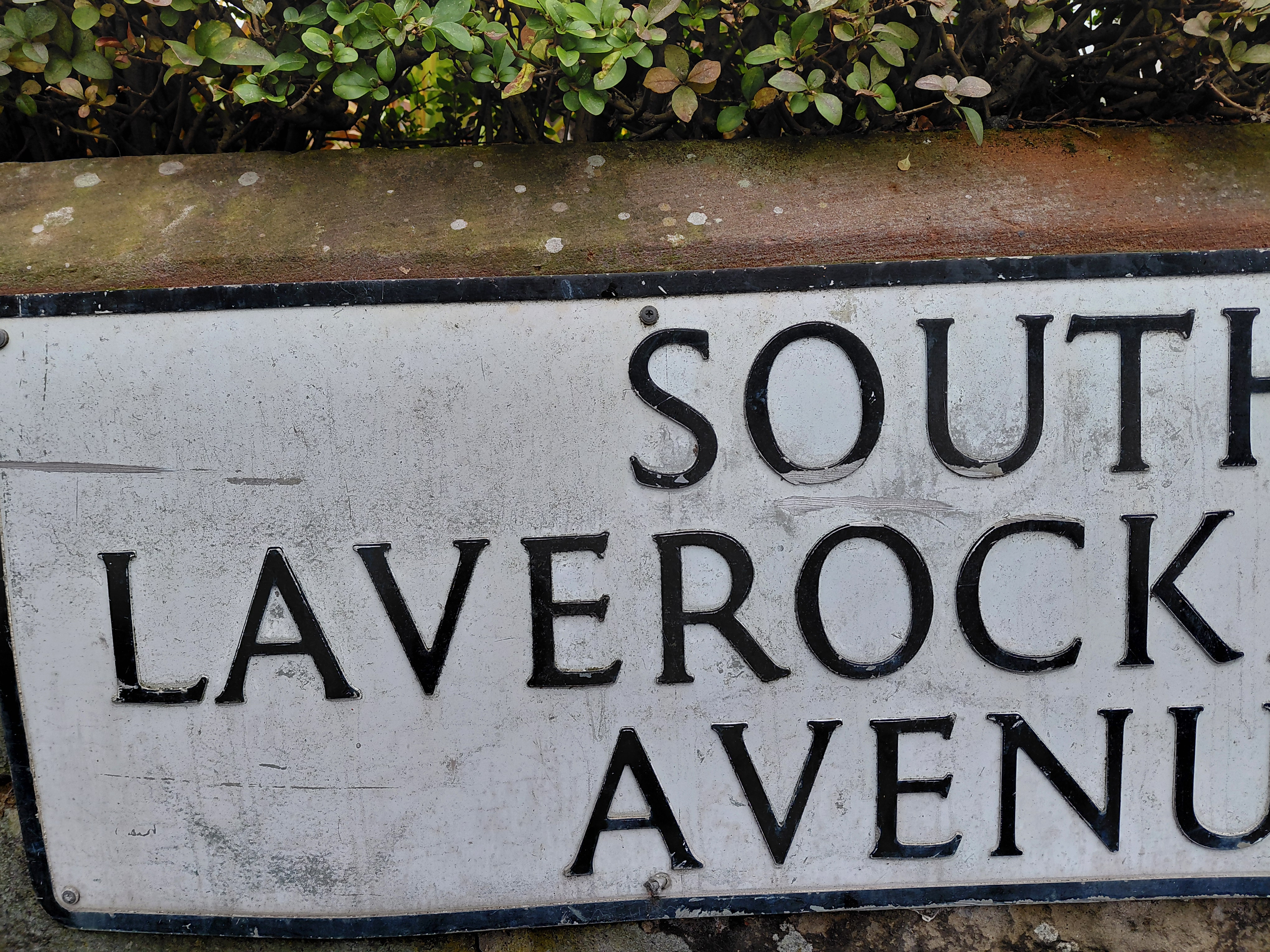
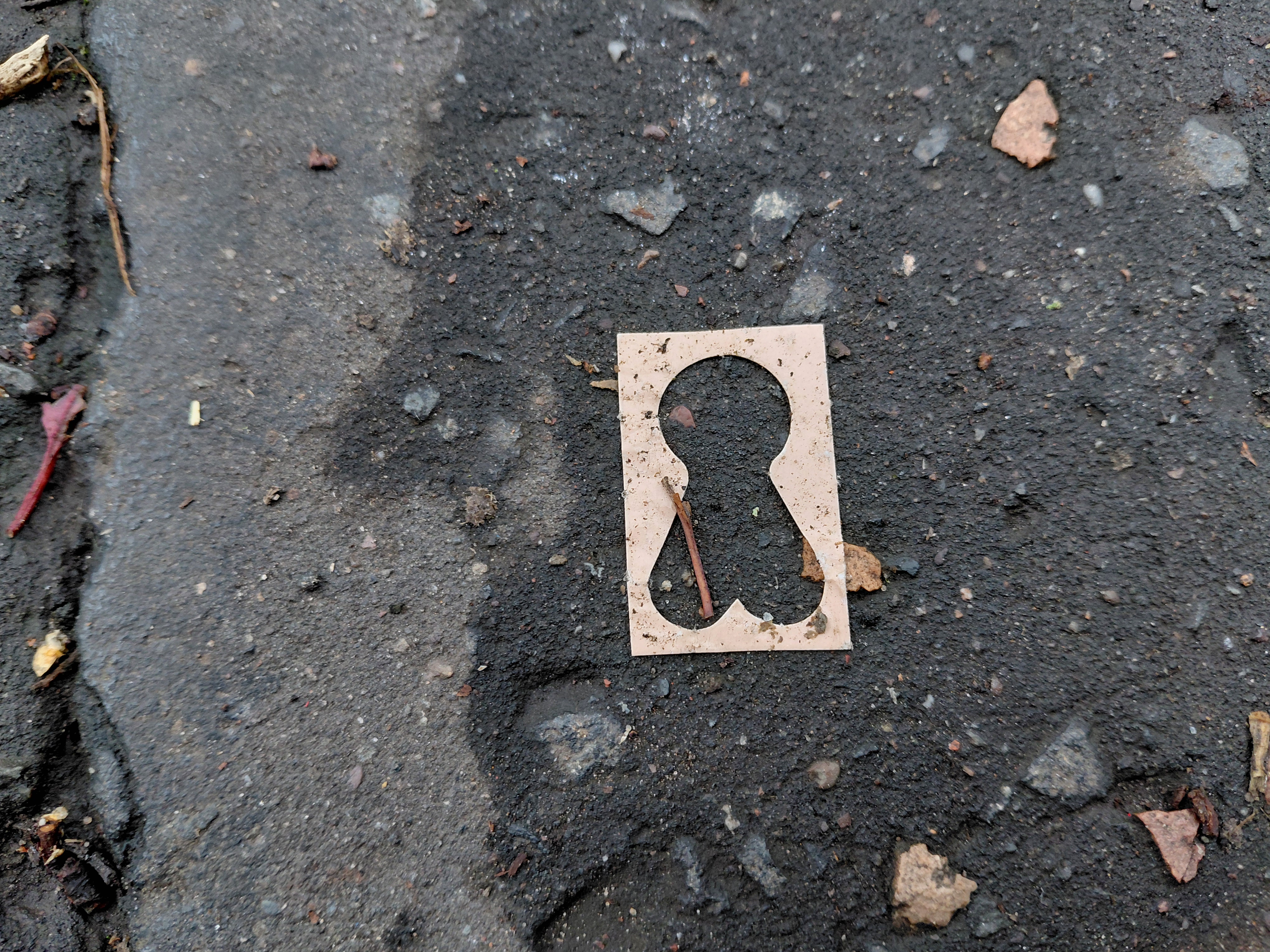
Three images above by Tamsin: U or a smile; hoolet’s eye; Laverock – skylark

Tamsin’s walk (parts 2 and 3)

11.30am 
///galaxy.belong.eating *
U (or is it a smile?) And me walking. T’wit t’woo Owl - hoolet in Scots. Circular O, eyes seeing, not in the dark, but across space, from Scotland to Japan, Tokyo to Edinburgh. You to me to you. And back again. Up a long straight street, I turn left and head into a busier area. South Laverock Avenue – Laverock being Scots for skylark - the birds are not heard here nowadays, nor, I suppose, where you are in downtown Tokyo. In the past, though, it used to be a favoured spot for larks, so an 18th c merchant named his house after them and now there’s a whole area called Laverock this and that. Like the lark singing and spiralling up high, I’m signalling to you, seeing if your thoughts are uppermost so I can detect them, looking, linking up these two walks with our feet, time, and intent.
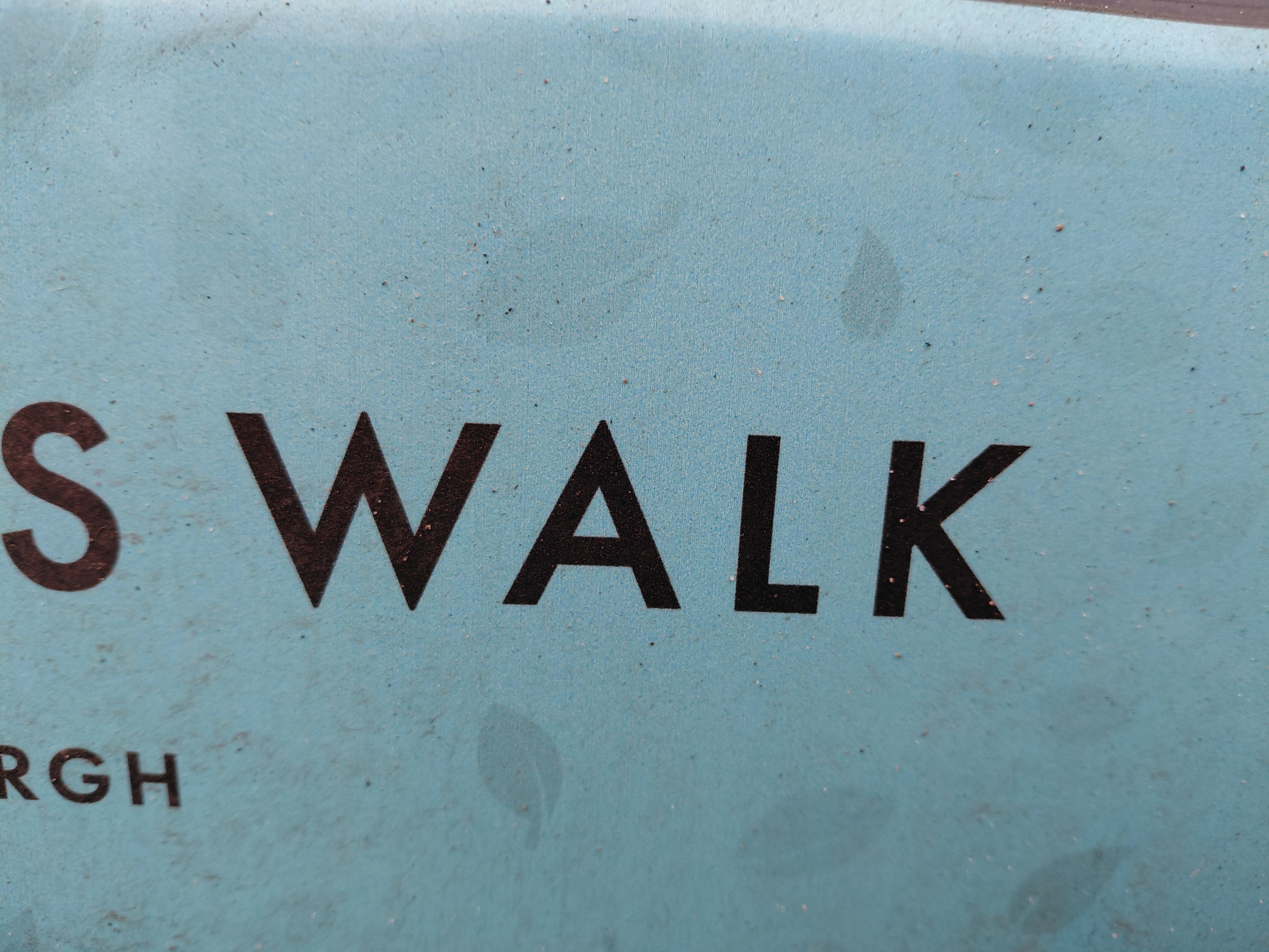
Three images above by Tamsin: MAN; mans profile; SWALK (sealed with a loving kiss)

12 noon
///roofs.asking.sulk
White ring with a black centre and an arc to its left. Second silhouette of a male head in profile (previously, MAN on the front of a car in strong, square, manly letters with a roaring lion logo, in case we don’t get the picture). I'm on a busy shopping street with lots of cars and outlets. The next shop flirts with me: ‘Hello Gorgeous’. Walk In, the hair salon says, but I don’t. I’m headed to a café: Sketchy Beats (you started at one in Japan, I’m ending at this one) arriving at 12.05. It was shut.

A little further down the road a shop read, ‘Tokyo’.

Links

Kristina Rothstein on Bandcamp

Walking in Pairs is a Walking the Land project

* /// denotes What3Words – locations of the walk

The Granton Burn, from hill to sea

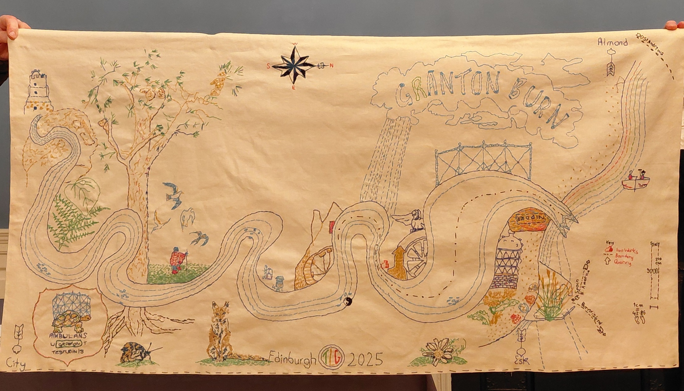
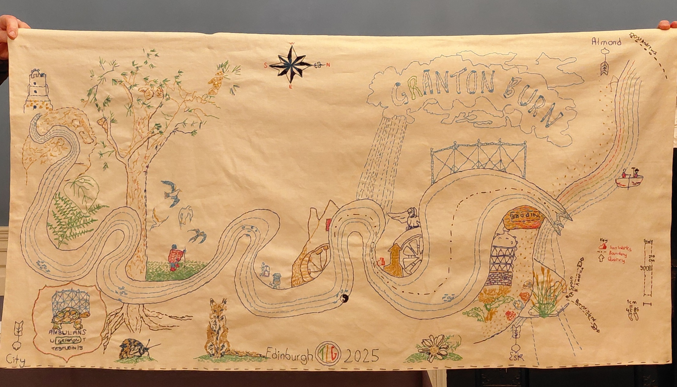
This newly stitched map (November 2025) shows the route of the Granton Burn, rising at the top of Corstorphine Hill and flowing down to ‘The Brick’ Beach in Granton and the Firth of Forth.

Imagine you are buried in the ground up to your armpits! This is no bird’s eye nor drone-view. The map foregrounds the river itself, looping above and below earth level, and features many examples of local wildlife, flora and fauna found in the Granton area, from a curlew and fox to ragwort and flat oyster shells. Together with the people and the soil itself, the Granton Burn and more-than-human lifeforms are who and what are indigenous to Granton and should be respected as such.

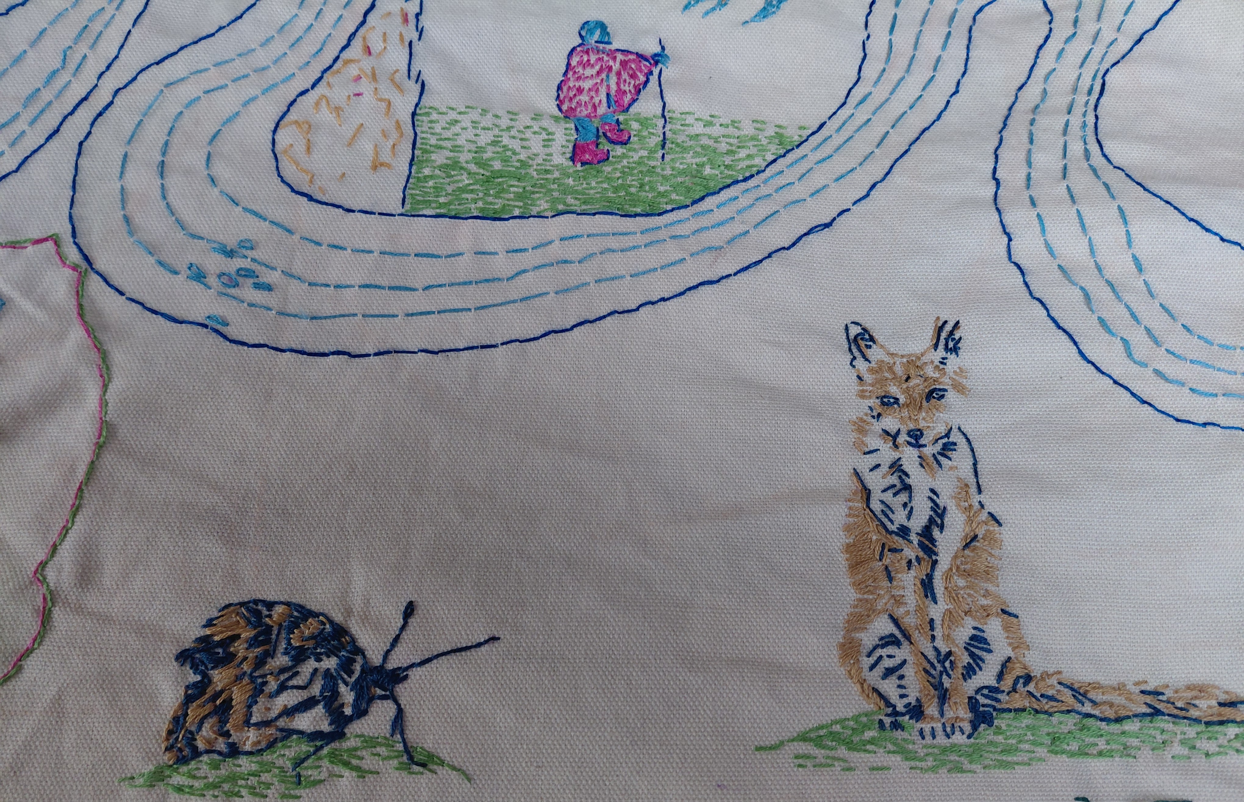
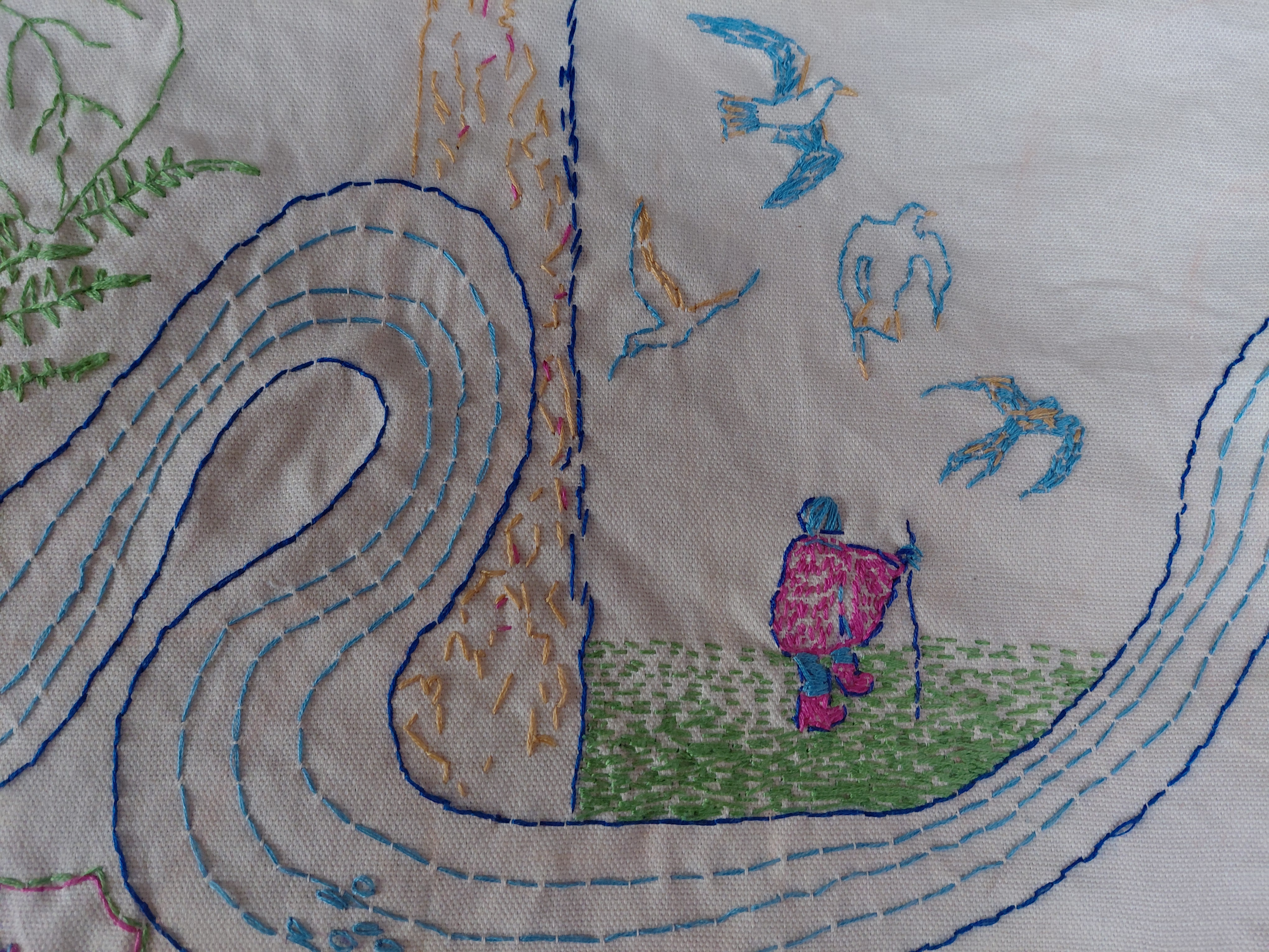
The embroidery above shows a moth, fox and traveller on foot

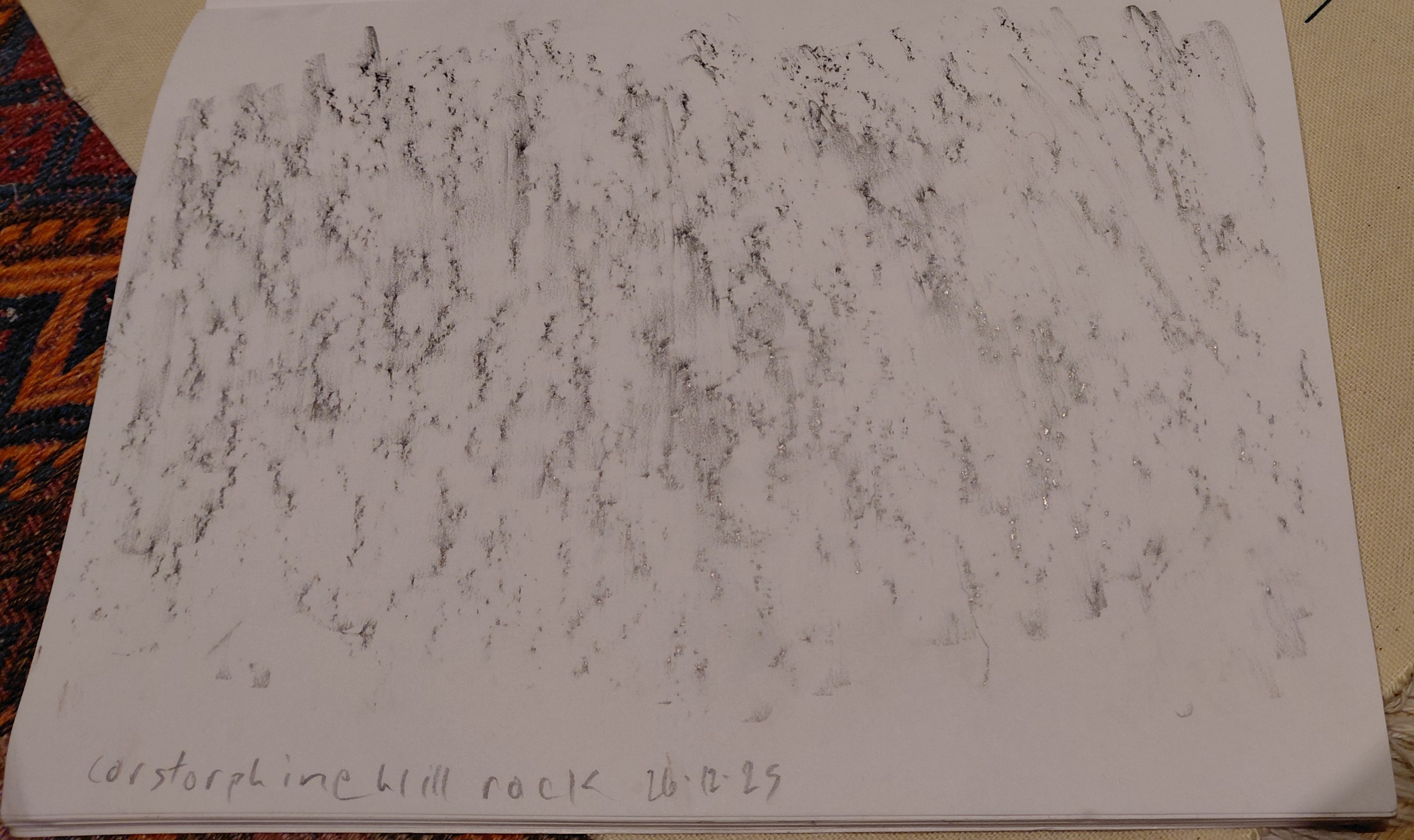
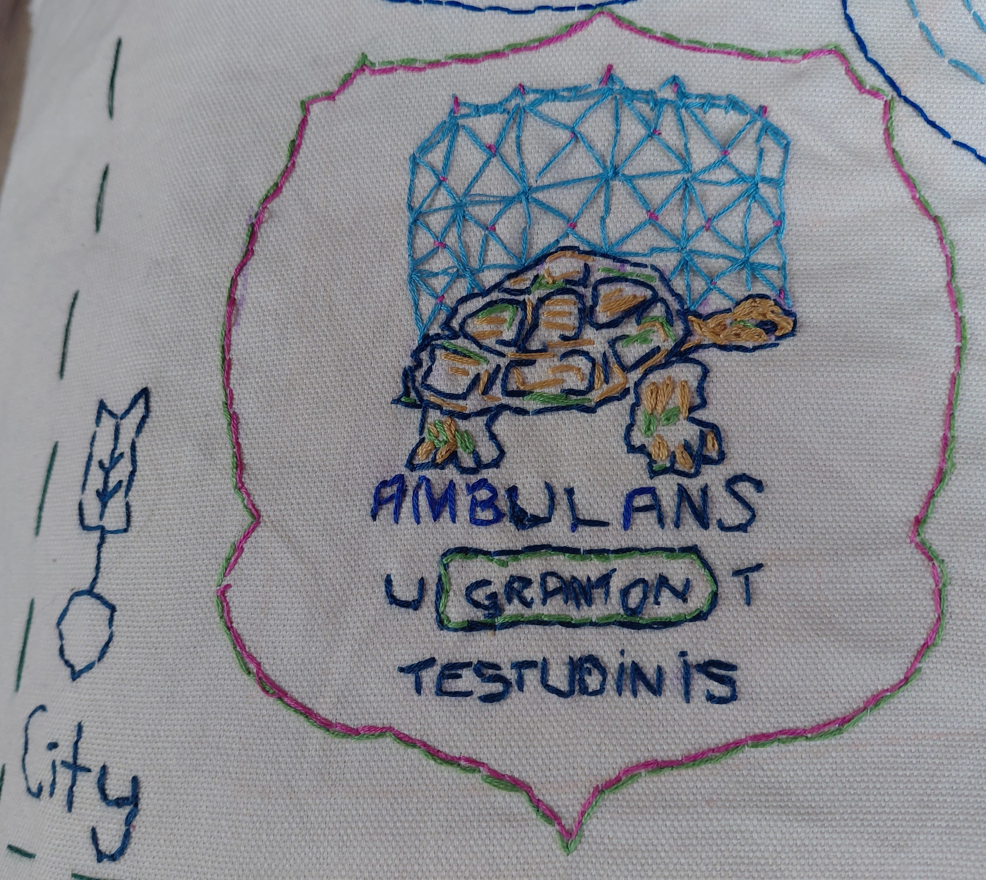
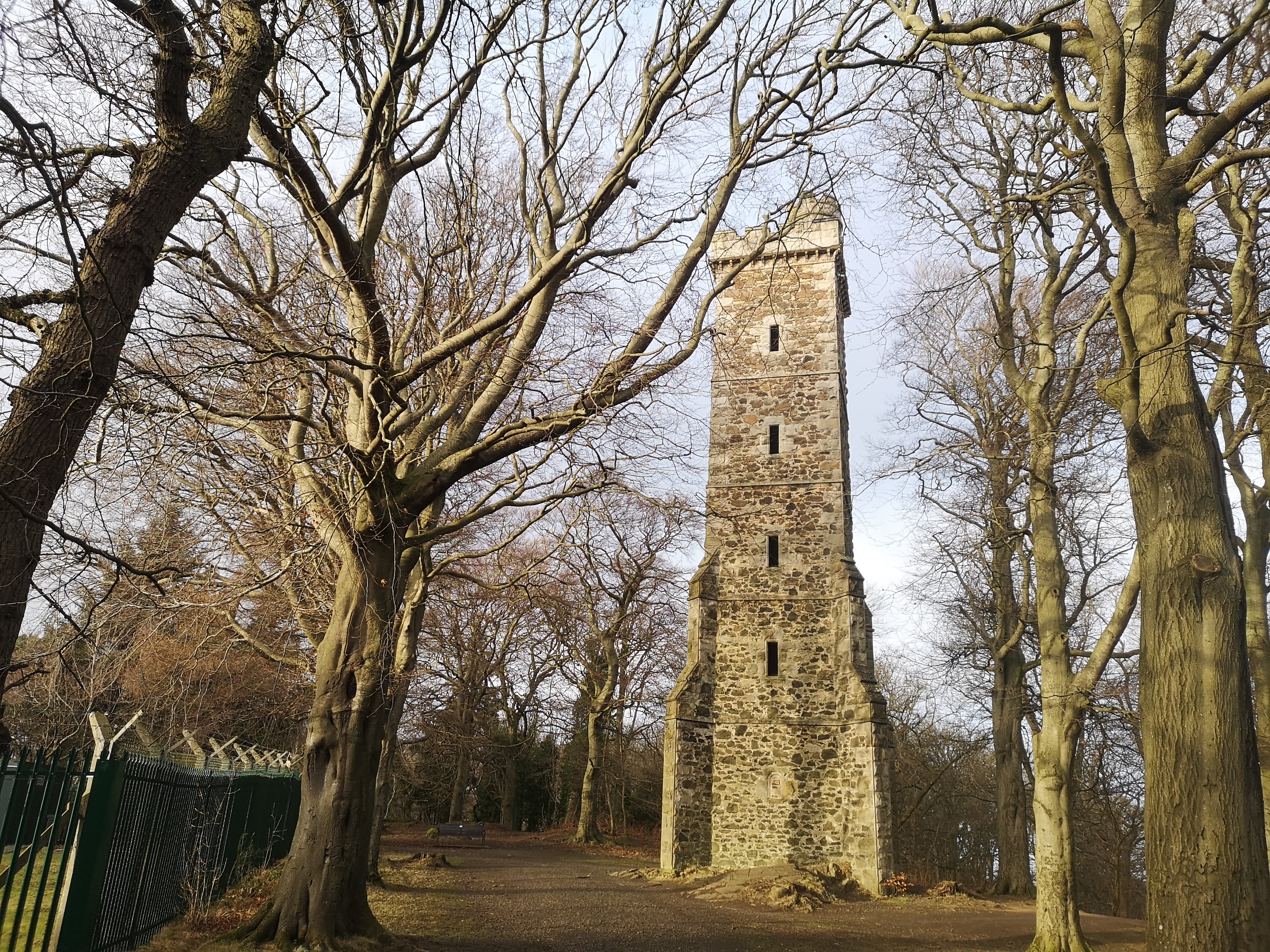
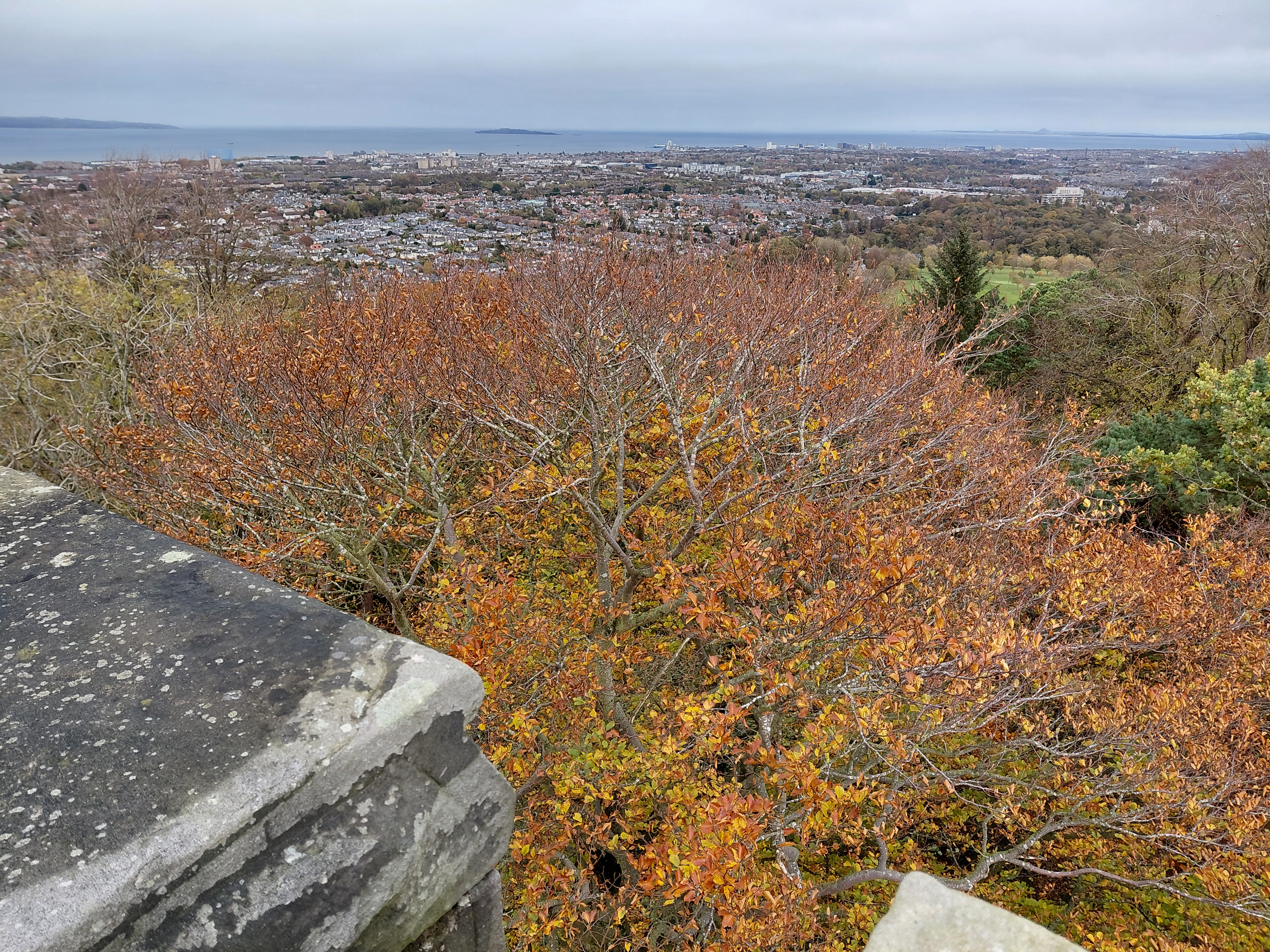
The map shows the Granton Burn rising at Corstorphine Hill near the Scott Tower. There are the ancient rocks of the area, together with the ring-shaped ‘cups’ which are of archaeological significance, Scots Pines, an example of woodland, and grassy hillside. As the land flattens, you can see someone walking, a figure reminiscent of the pilgrim in the VIII Cups tarot card designed by Pamela Colman Smith. I have stitched buildings which relied on water – a mill, Madelvic House (the sphinx from the home of United Wire and the Electric Car Company), Mushet’s iron works, the Northern Lighthouse Board building (1860s), and the iconic Granton gastower. The latter is also part of a suggested Granton coat of arms featuring the Granton Tortoise (story here) and the Latin script, ‘Ambulans ut Testudinis’ (Walking Like a Tortoise) referencing an earlier walking art project.

The map is embroidered in the colours found on the 1835 Bartholomew map and the 1867 Parish Johnston Plan, and the sea is stitched in different colours because, I have been told by many residents, it flowed sometimes pink, sometimes other hues according to which ink was being dumped in there by local company, A. B. Fleming.

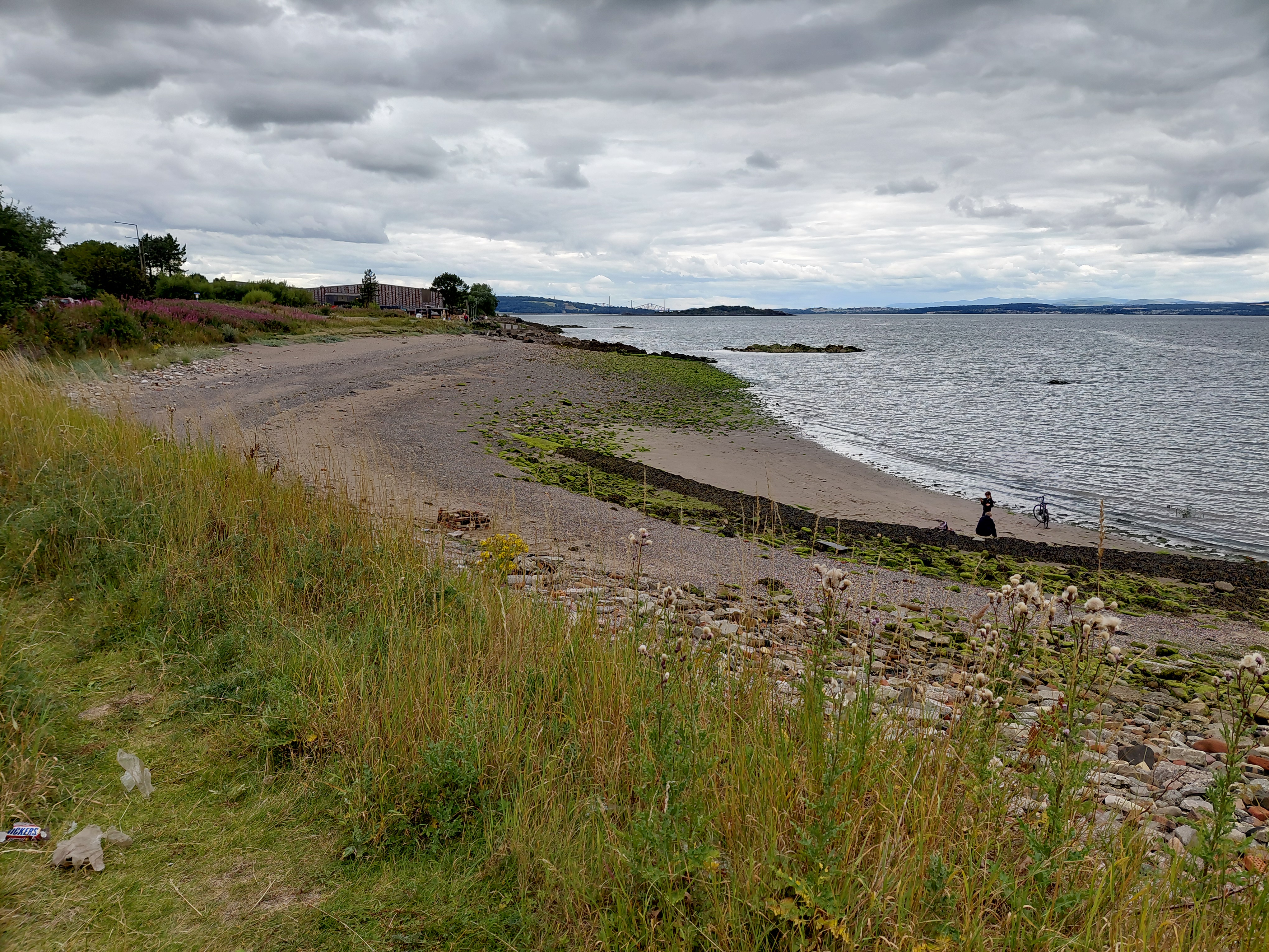
The mouth of the Burn is that particular jagged shape as seen on the Edinburghshire map of 1914. It is unclear exactly where it is nowadays, but is likely to be close to the sewage pipe. Certainly the drains beyond the Sea Gate of Caroline Park frequently overflow, meaning that the Burn streams along the road.

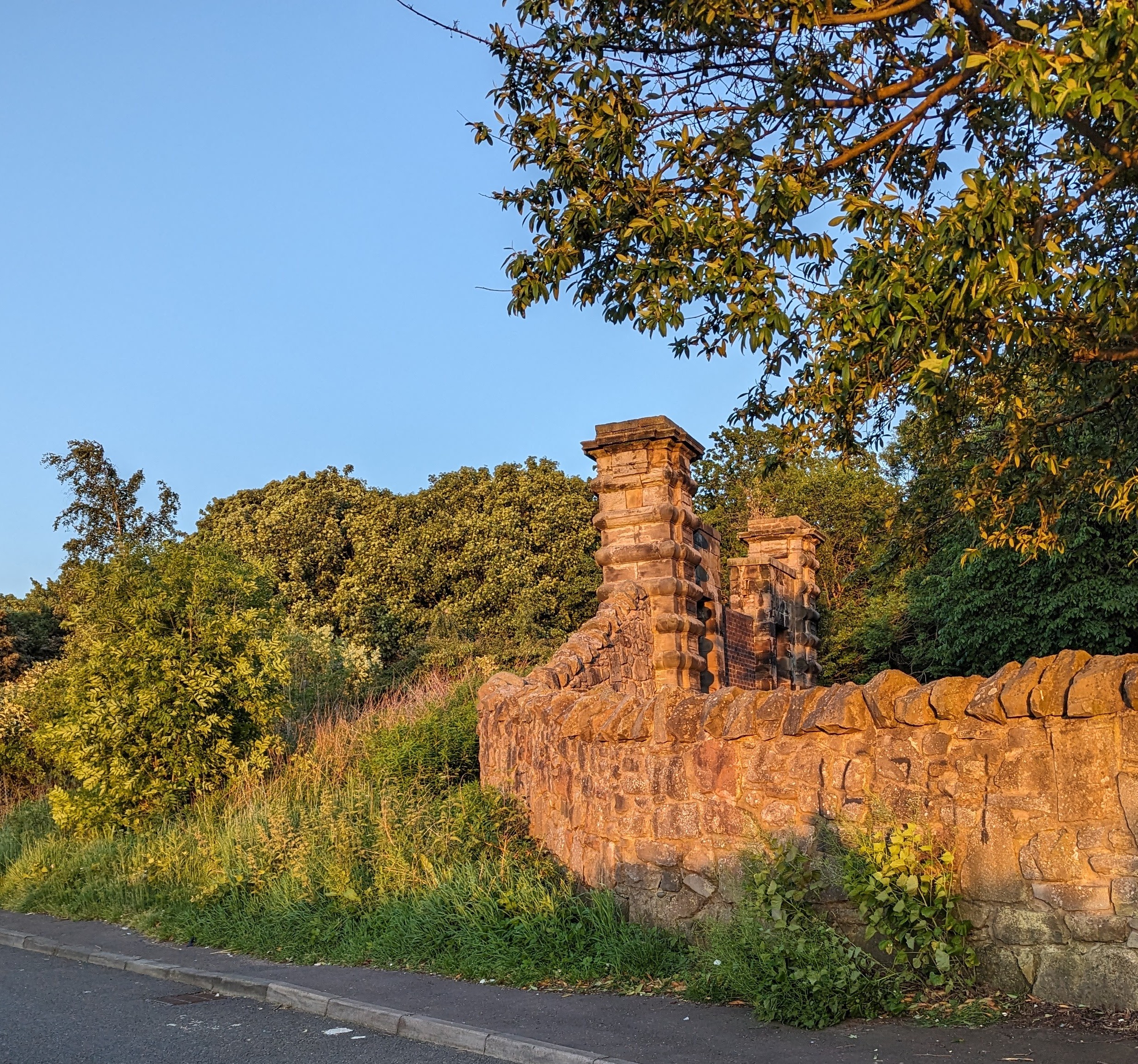
Caroline Park Sea Gate near where the Granton Burn flows, Edinburgh

Other embellishments come from a variety of sources. The arrows can be found on the weather vane on top of the lighthouse, and the north-point of the compass from the Drainage Plan of the Edinburgh Leith and Suburbs map, 1867. And I measured the route in my human footsteps (the walk from hill to sea was approximately 9000 steps) which, according to the scale of this map, is 1:42.86.

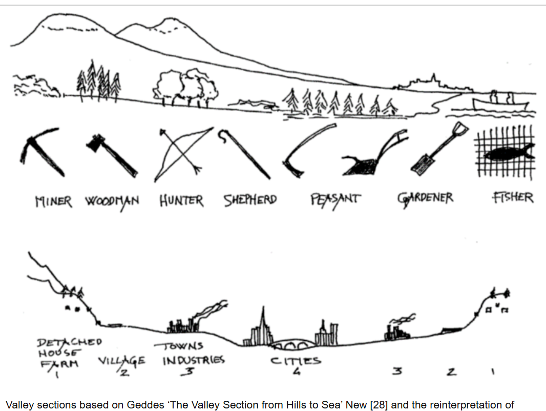
The small boat on the right of the map is similar to Geddes’ on his Valley Section (see below) with two people sitting in it, though I have given one of them a fishing rod (an age-old local industry) and the other a pilgrim’s staff with a gourd on top. The 11th century St Margaret ferry used to take pilgrims across to Fife from South Queensferry so that they could continue to walk to St Andrews. Other sea routes, and the Esparto Grass which covers the harbour, refer to the intercontinental trade which exported coal, bricks and so on, and imported goods and people, including grass for the mills along the River Almond and the Water of Leith.

Granton (Royston) The Brick Beach, Edinburgh where the Granton Burn issues into the Firth of Forth and North Sea

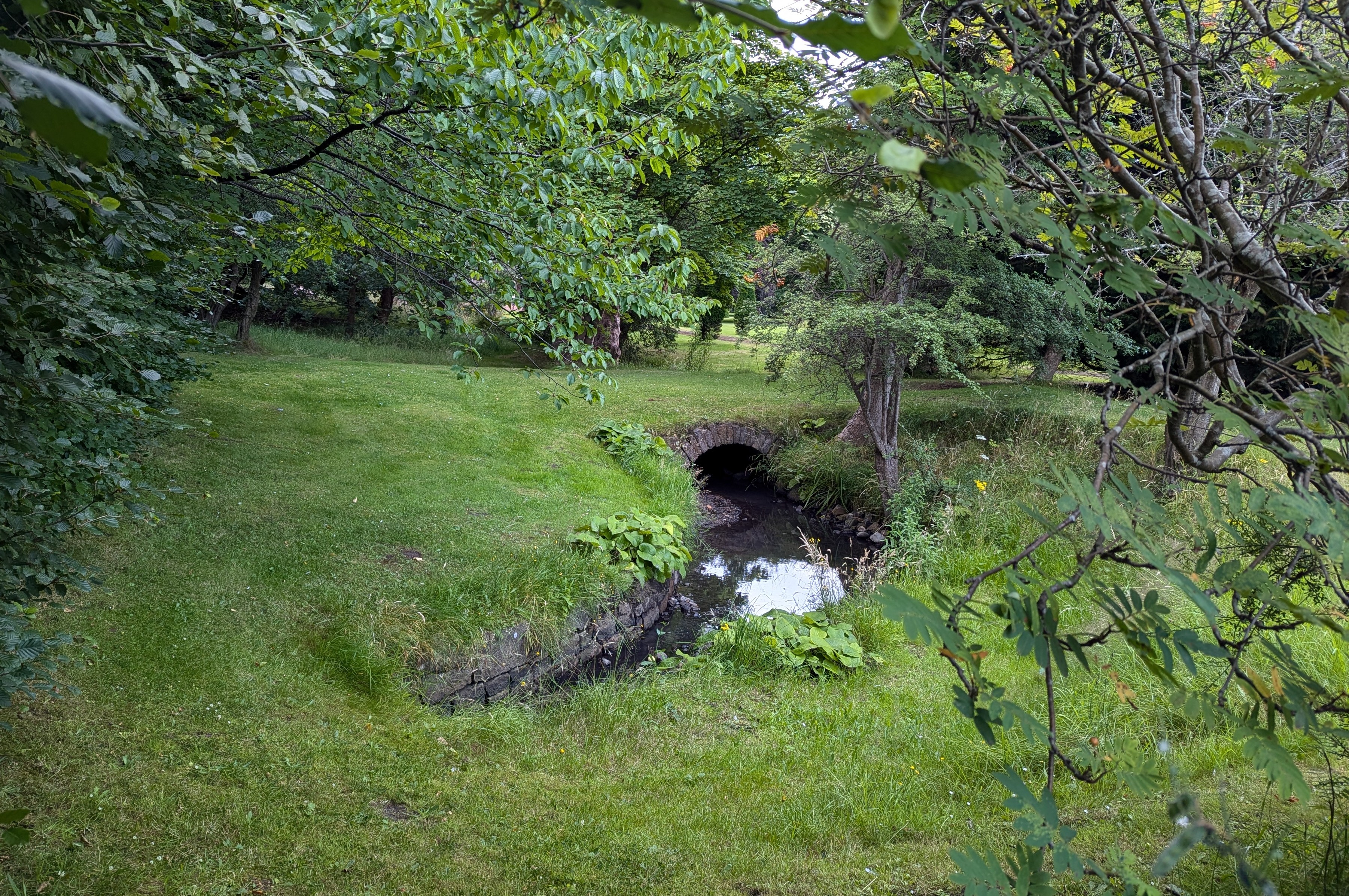
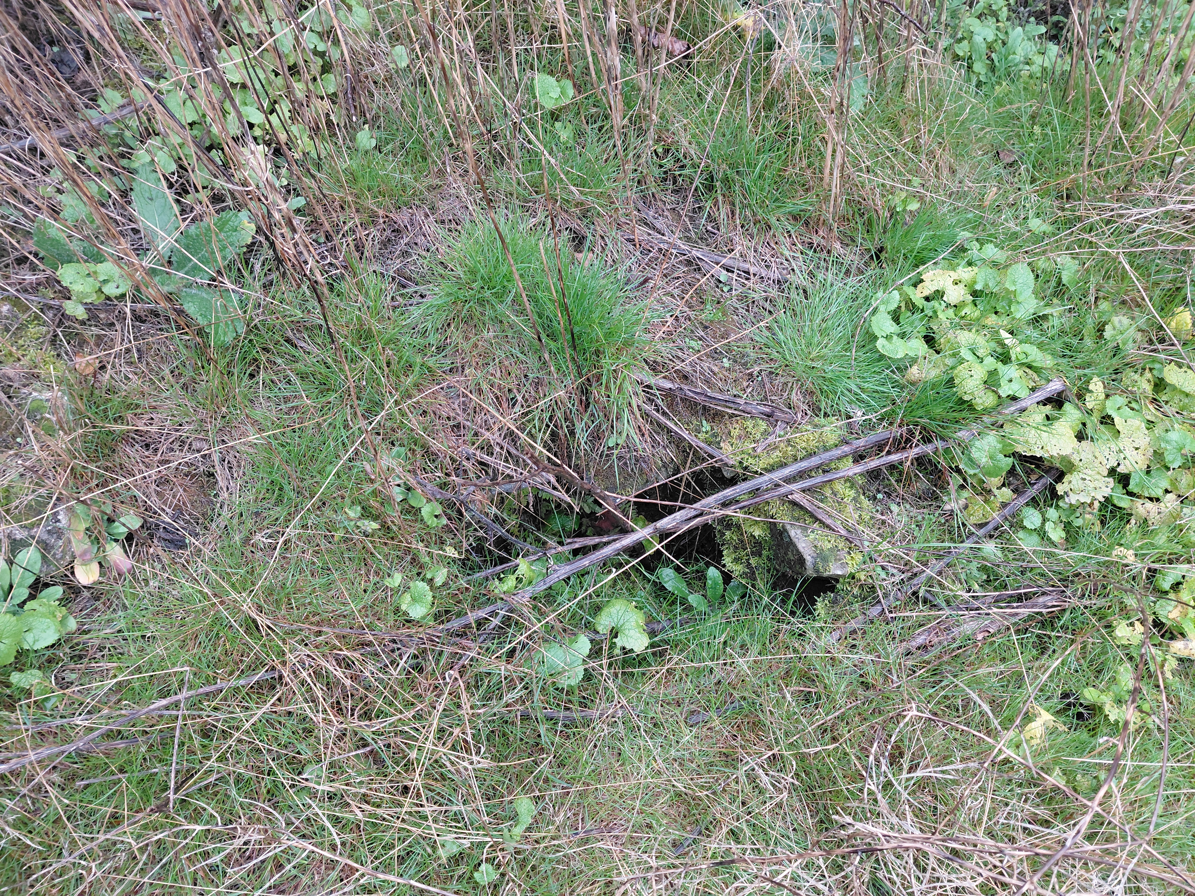
I have wanted to walk alongside this burn for a long time because it is said that it forms the western definition of Granton itself. Although it was quite clear where the second-to-last section is, as it can be seen clearly flowing above ground in the Caroline Park Grounds, and other nearby parts are also visible in Forthquarter Park, the rest of it is now mostly hidden below buildings and there are no maps showing it as far as I can find. (It is noteable, however, that the ‘new’ Scottish Gas Headquarters flooded and the grass nearby is soggy all year round whatever the weather, so it is most likely that the Burn flows under those places.)

The owner of Caroline Park suggested that it rose at Corstorphine Hill, so, armed with my research from old maps and local anecdotes, I went there to look.

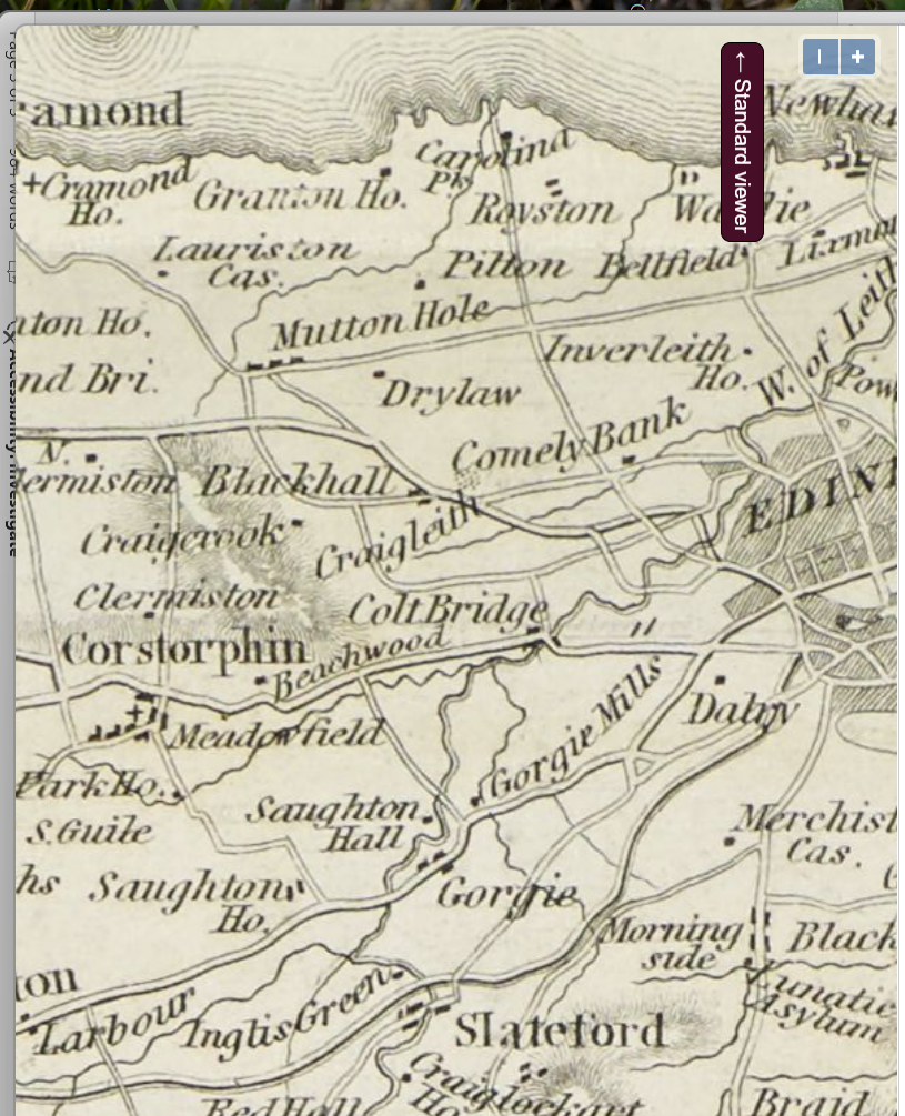
Here is the thin wiggly line of the Granton Burn from Caroline Park on this old map, but it stops just south of what is now Ferry Road. Notice that there is no Granton Harbour, so the map predates the 1830s

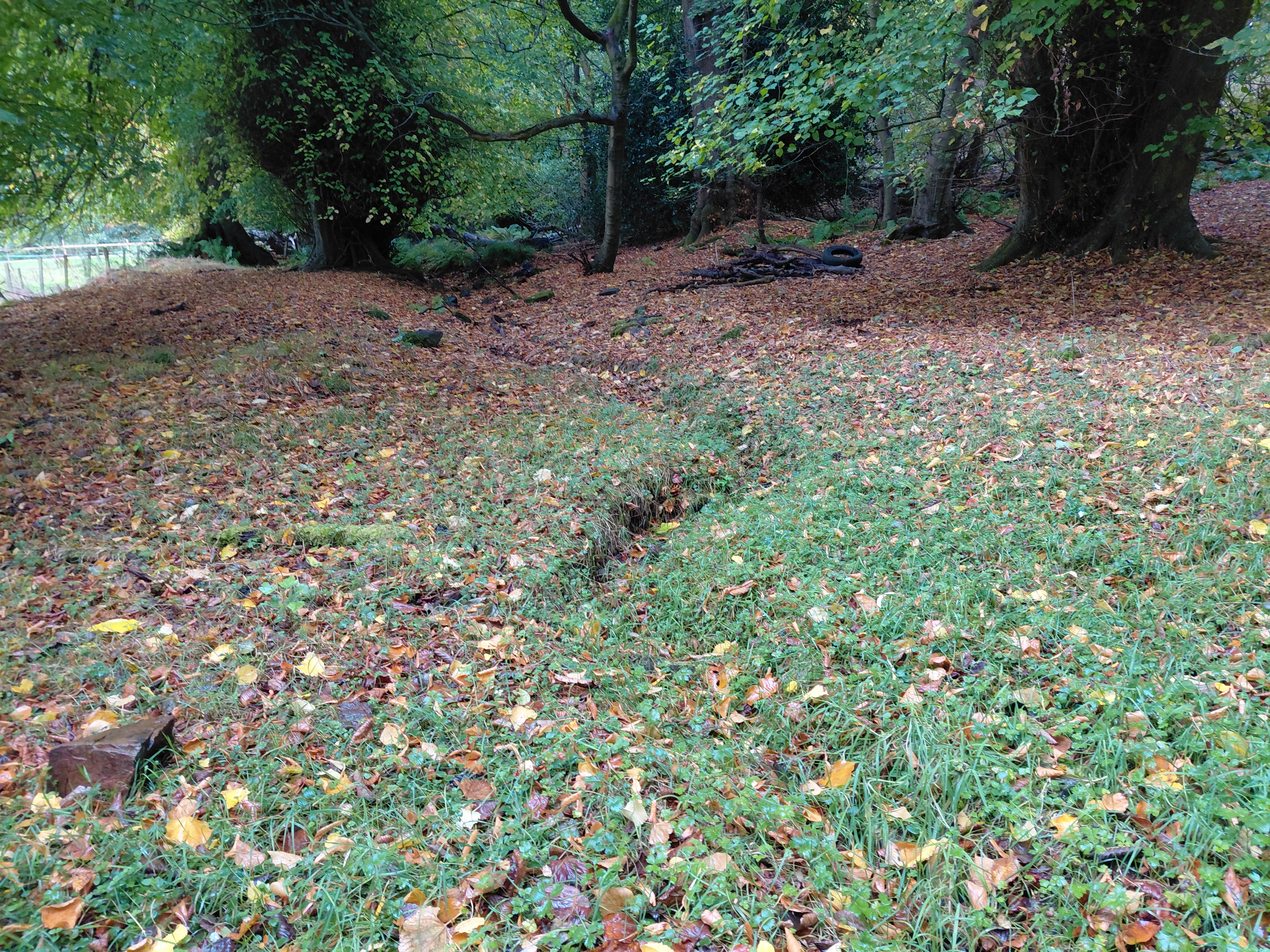
I believe that I found the route of the Granton Burn using my sense of the water I’d previously met, as well as the resources I’d compiled. I knew it’s energy in the same way that I have been practising knowing people’s energy (or chi) through my Shiatsu bodywork for over 30 years. I certainly found a small river, wetland plants, and banks along the line I’d tentatively drawn on my own map. 

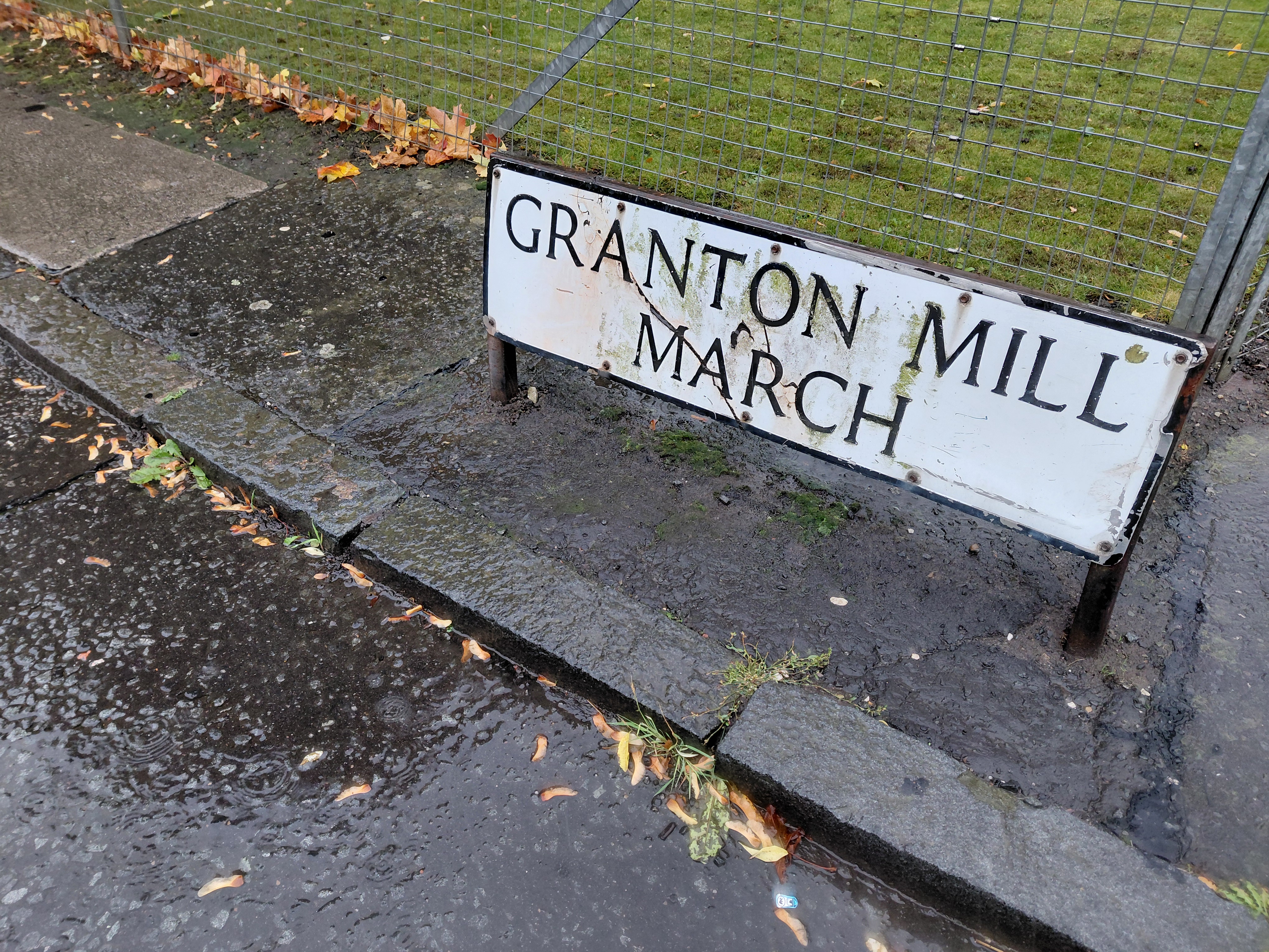
I think a threshing mill used to be on this site before the housing estate was built. Granton, Edinburgh

As I slid along pavements slippery from the pouring rain, I came across the area named Granton Mill with which I was familiar from earlier forays. Of course! A mill would have needed water, I was on the right route!

This work of tracing the Burn gives it power and I felt it. I recognised its distinctive voice.

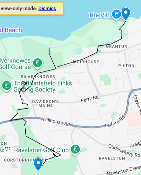
My route and the approximate route of the Granton Burn, Edinburgh

If rivers are built over and erased from maps, does their power cease?

This map collapses time. It reinstates the river above ground, and juxtaposes past and present. My walking the Burn in some way also restores the original boundary. For once, it’s not roads or random lines, not politicians making the decision, but the existence of the Burn itself which decides where Granton begins and ends – a gentler, more natural way that harks back to earlier times.

All the time I walked and stitched, I was in dialogue with the Burn. It, in turn, reinforced the original researched route of the Granton Boundary that I had traced when preparing for my first drawn/painted map (above). This was a psychogeographical pilgrimage, a walk that was directed by the river itself, taking me through the landscape on a single journey via a previously unknown path, with clear starting and ending points.

It was as if my footsteps drew the Burn above ground. My stitches made it manifest in fabric, in the tradition of map makers of many sorts from the past. I’m thinking of the Sophia Mason 1802 map of England and Wales that’s in the Library of Congress in the US, the cross-stitched 1940s maps made by children, the Gough Map on vellum, or the circular TO Mapa Mundi. This is a way of stitching time, fixing one person’s view of a place on a specific date.

Where can I see The Granton Burn textile map?

The Granton Burn map was made in response to an invitation to give a lecture for the Scottish Historic Buildings Trust (12 November 2025) as part of their Autumn / Winter series, alongside Dr Jonathan Gardner (an authority on Waste Heritage) at Riddles Court in Edinburgh. The map is currently on show at Riddles Court, alongside the stained glass window of Patrick Geddes’ Valley Section. Thanks to Ed Hollis for the initial invitation and the excuse to make the work and artwork for the event.

Thanks

This project benefitted from the help of many, in particular Scott Macintosh from the Friends of Corstorphine Hill, Catharine Ward Thompson and Suzanne Ewing, both from The University of Edinburgh College of Art, who and shared their time and valuable resources.

I have made this map for, and dedicate it to, the community of Granton in all their variety and form, past and present, amongst whom I live.