Walking Secular Pilgrimage

In October 2016, aged 53, and needing a change, I stepped out of my front door in Edinburgh for an adventure. First visiting relatives by train in the New Forest, England then it was a boat from Portsmouth across the Bay of Biscay to Santander where I started walking.

Coming into Santander. “I craved to go beyond the garden gate, to follow the road that passed it by and to set out for the unknown.” from My Journey to Llasa by Alexandra David-Neel

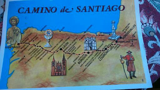
I exchanged Shiatsu for hospitality, as I still do, meeting some wonderful people in the process. This time, I walked the Camino de Santiago from Pamplona to Santiago de Compostella (400 miles).

Camino de Santiago postcard

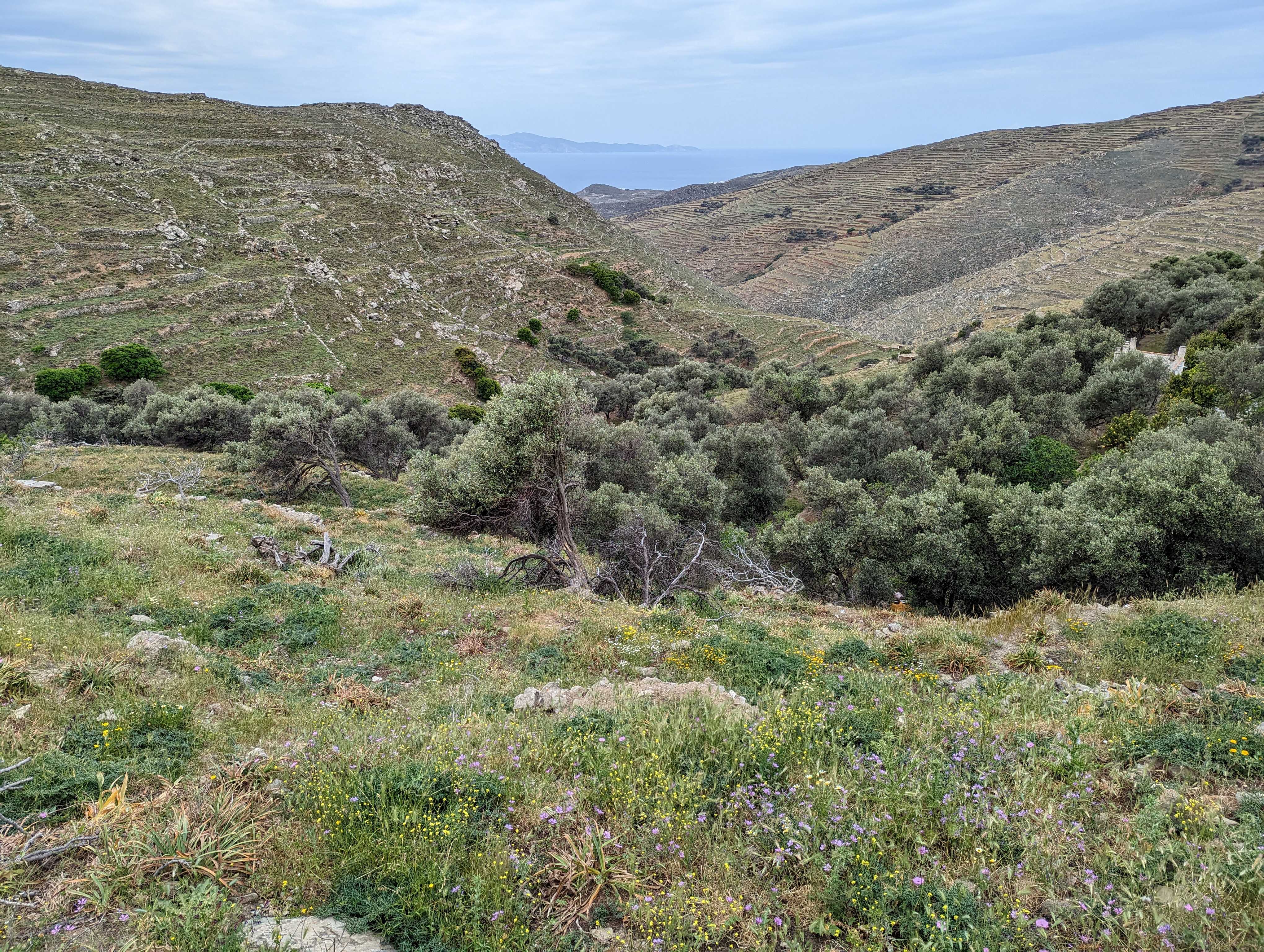
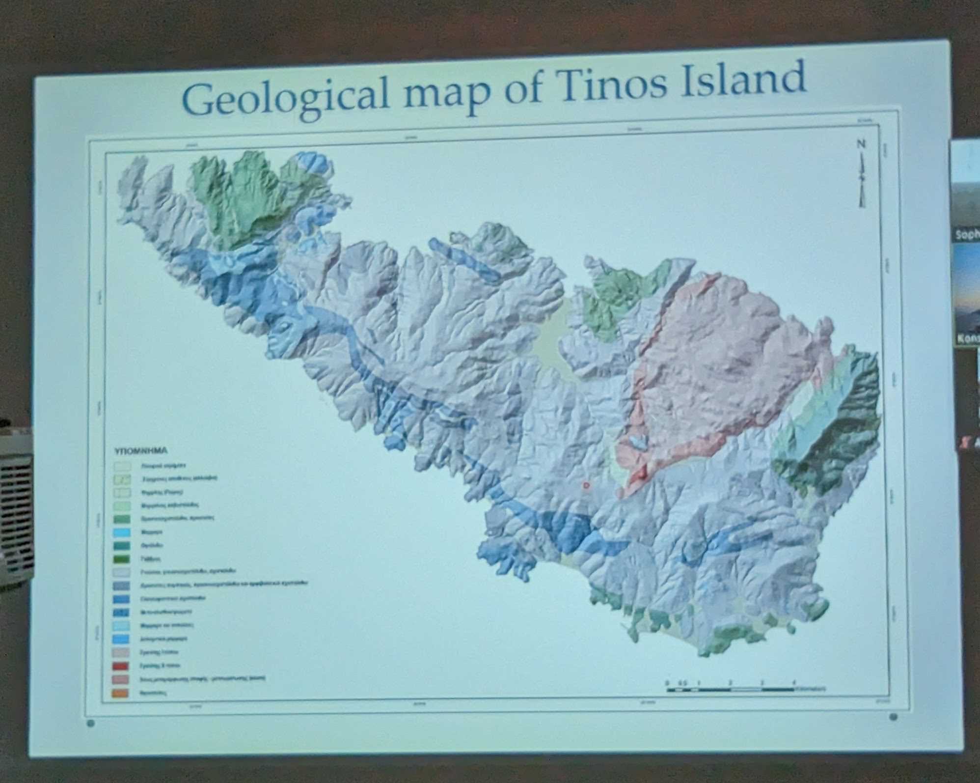
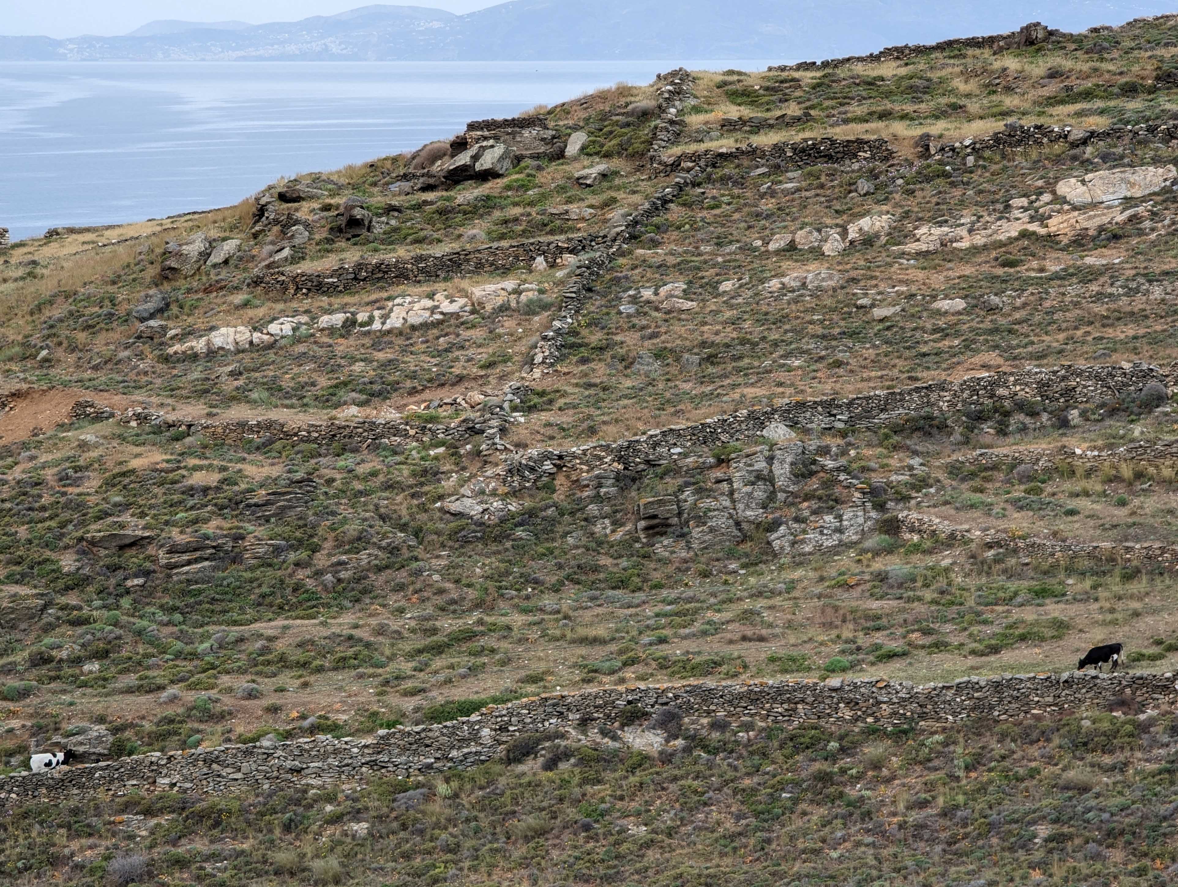
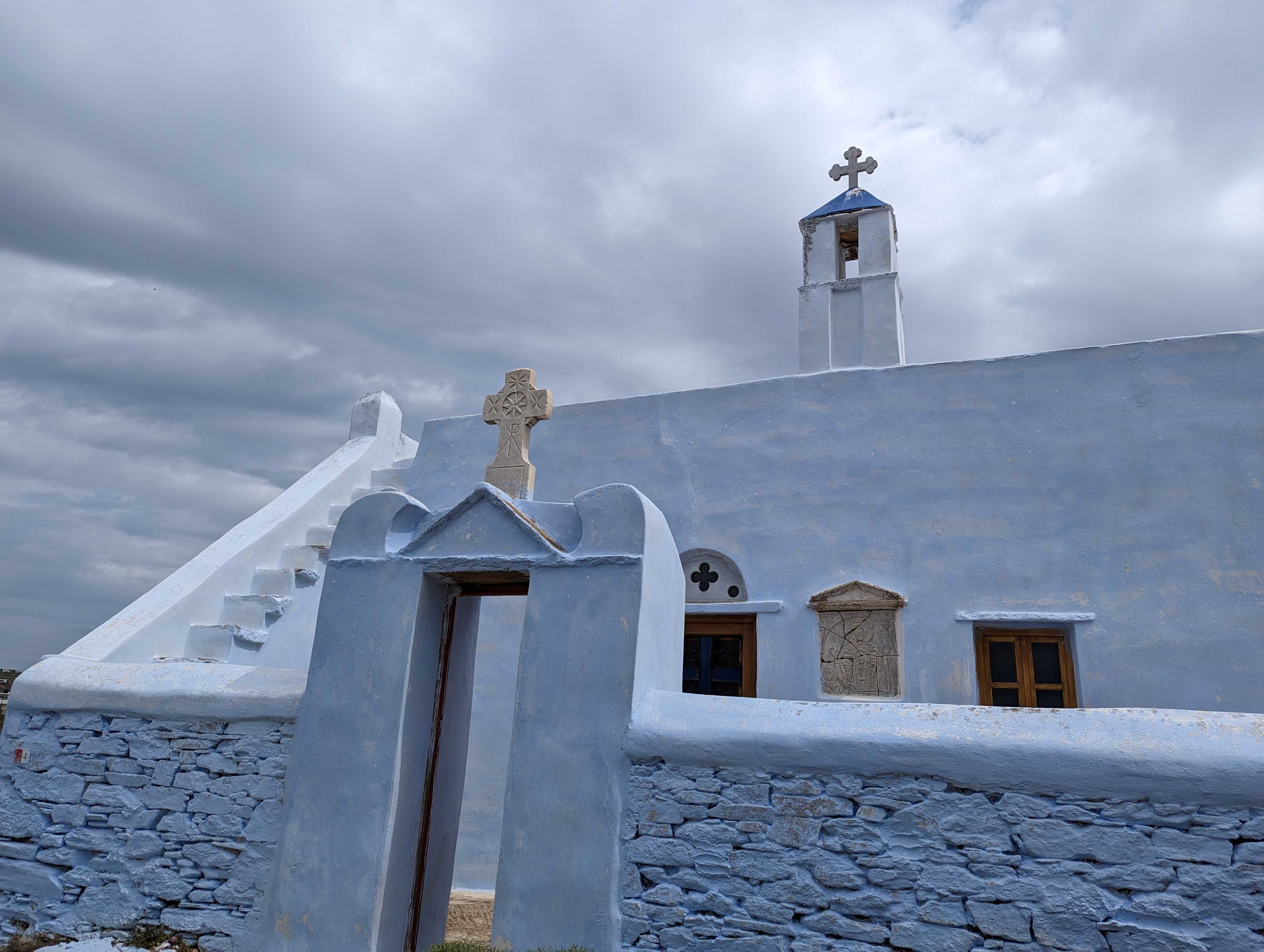
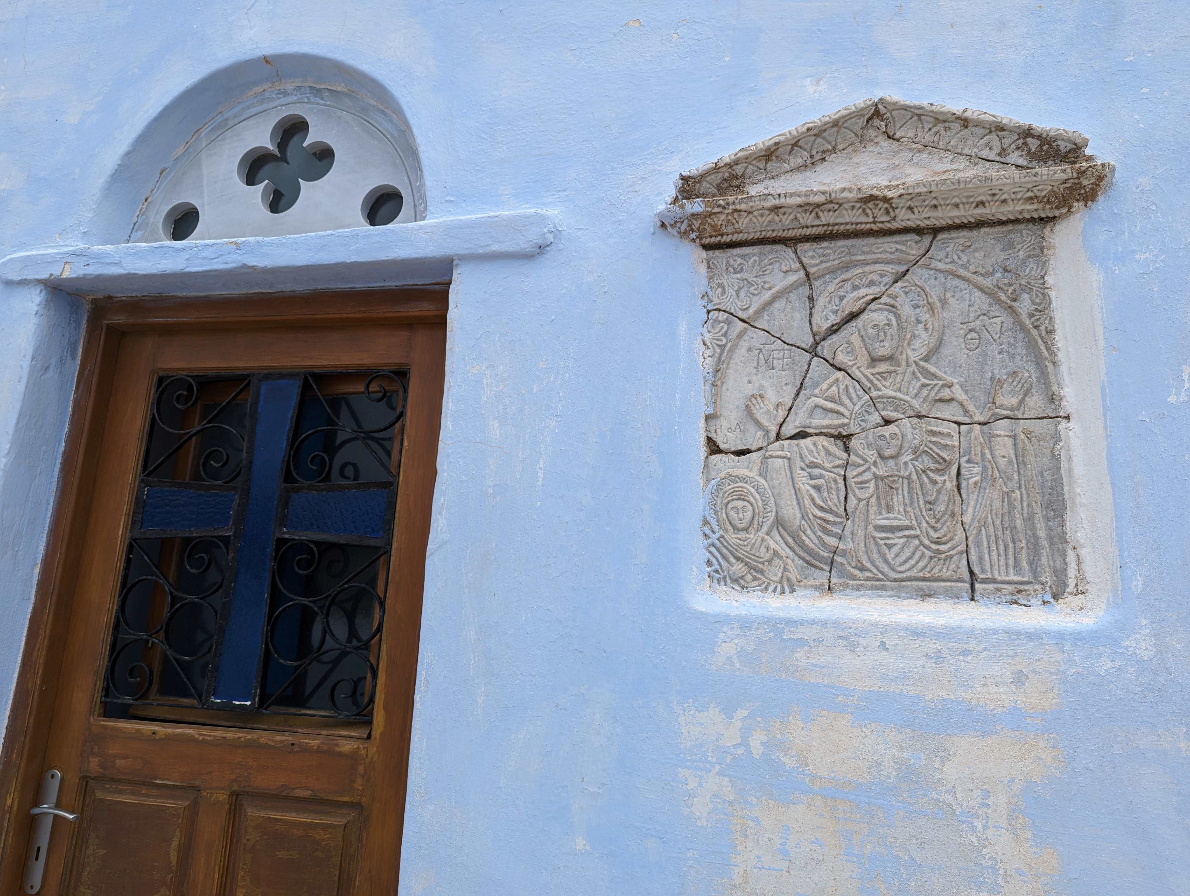
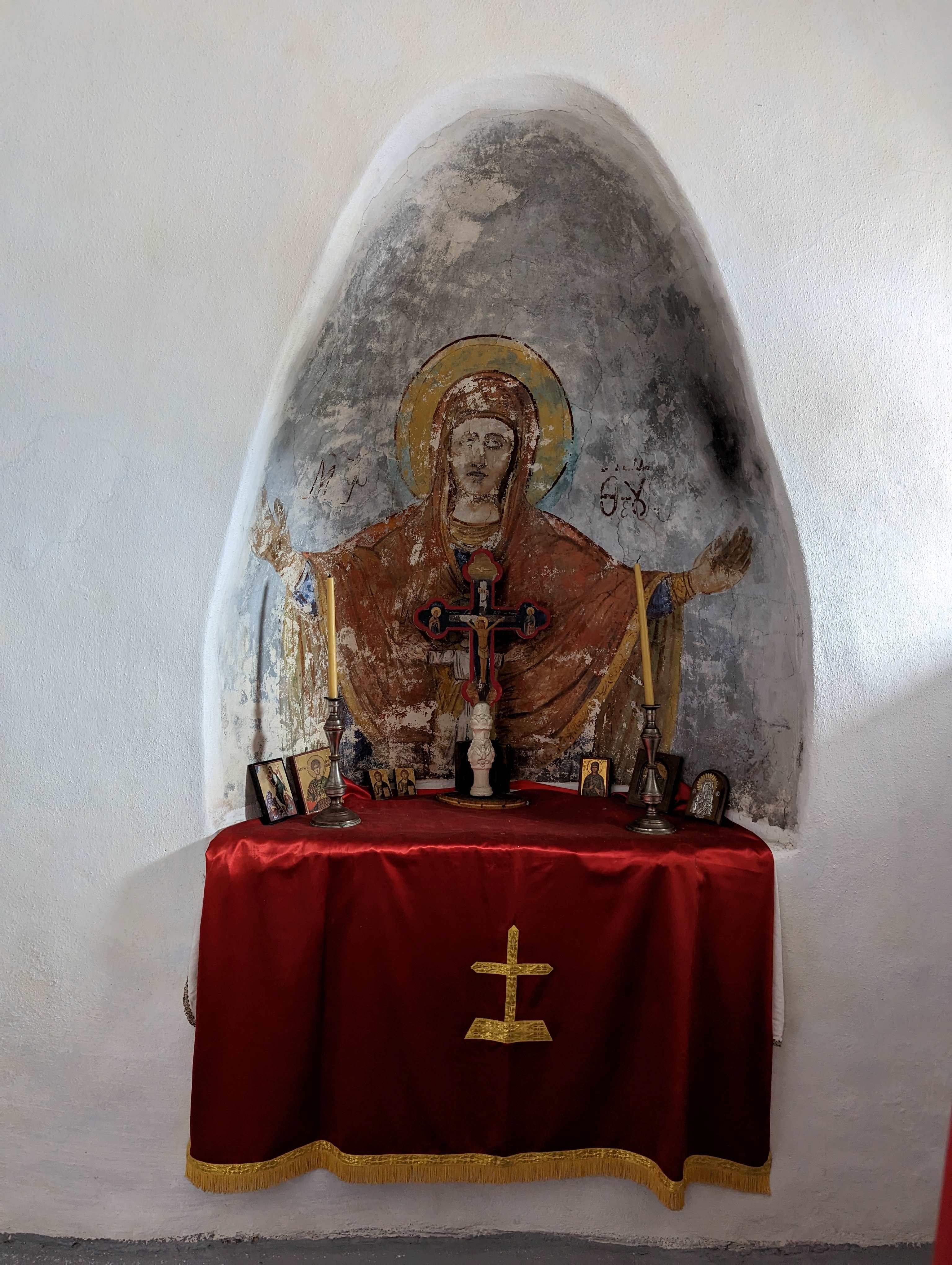
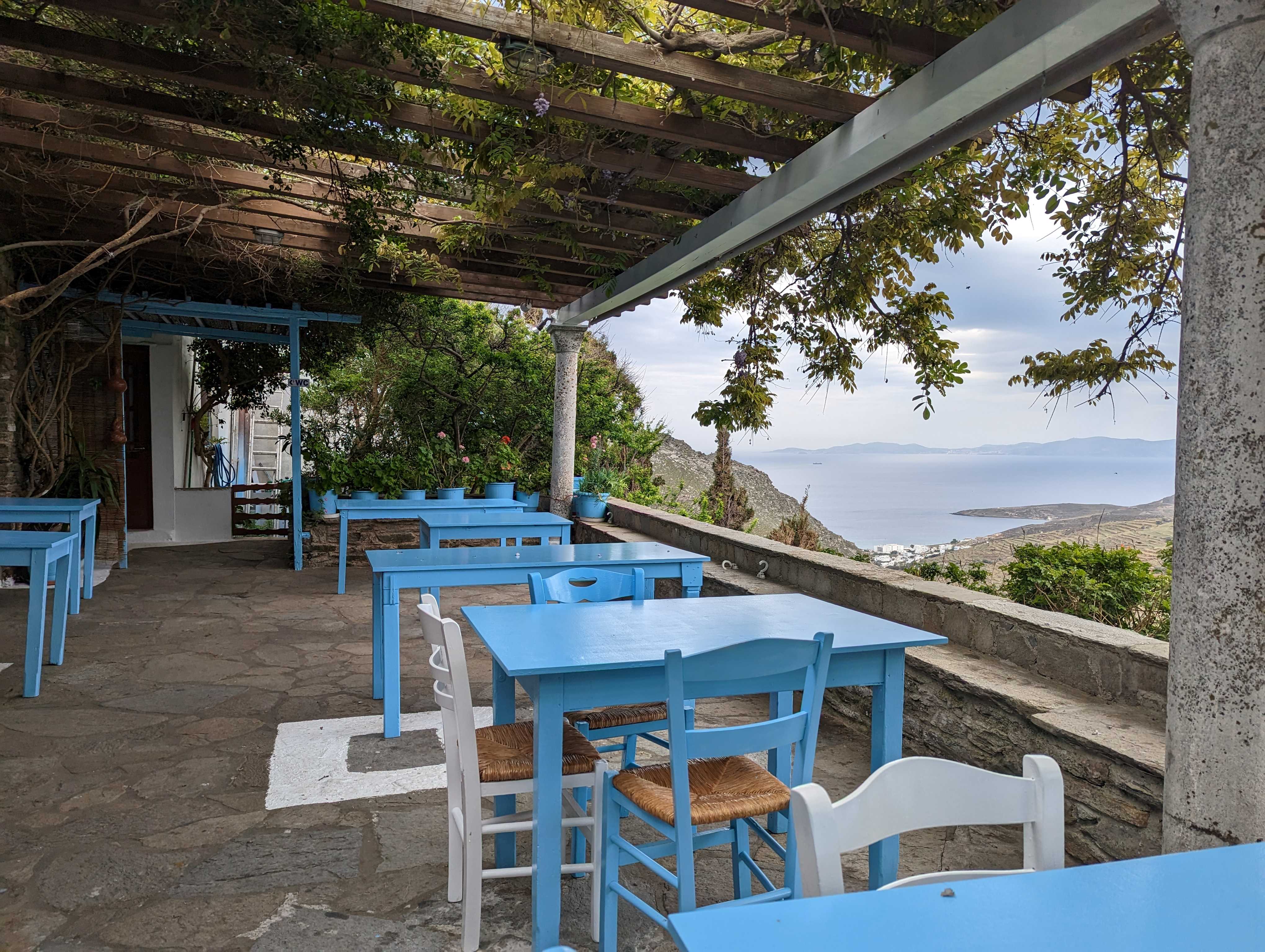
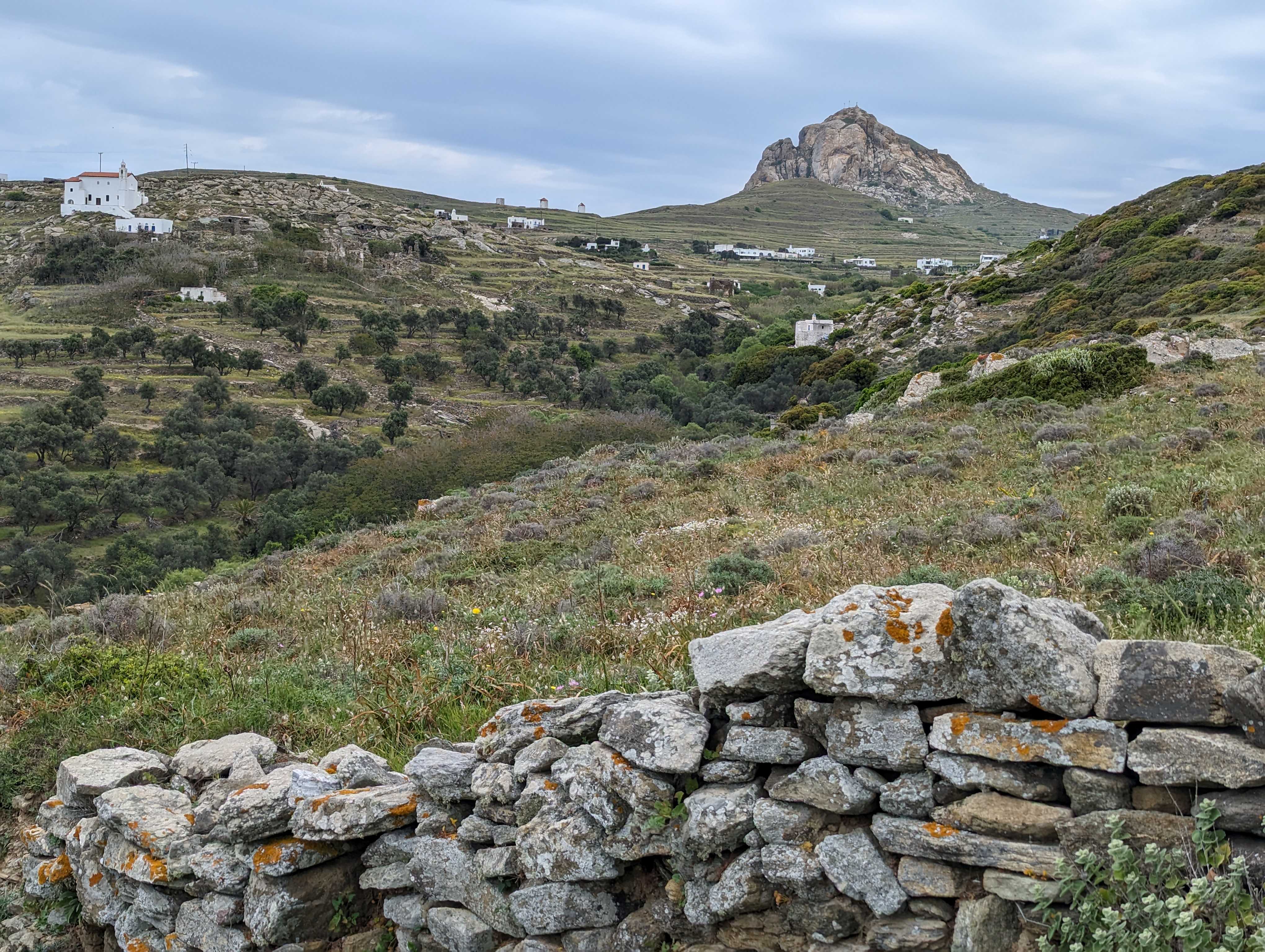
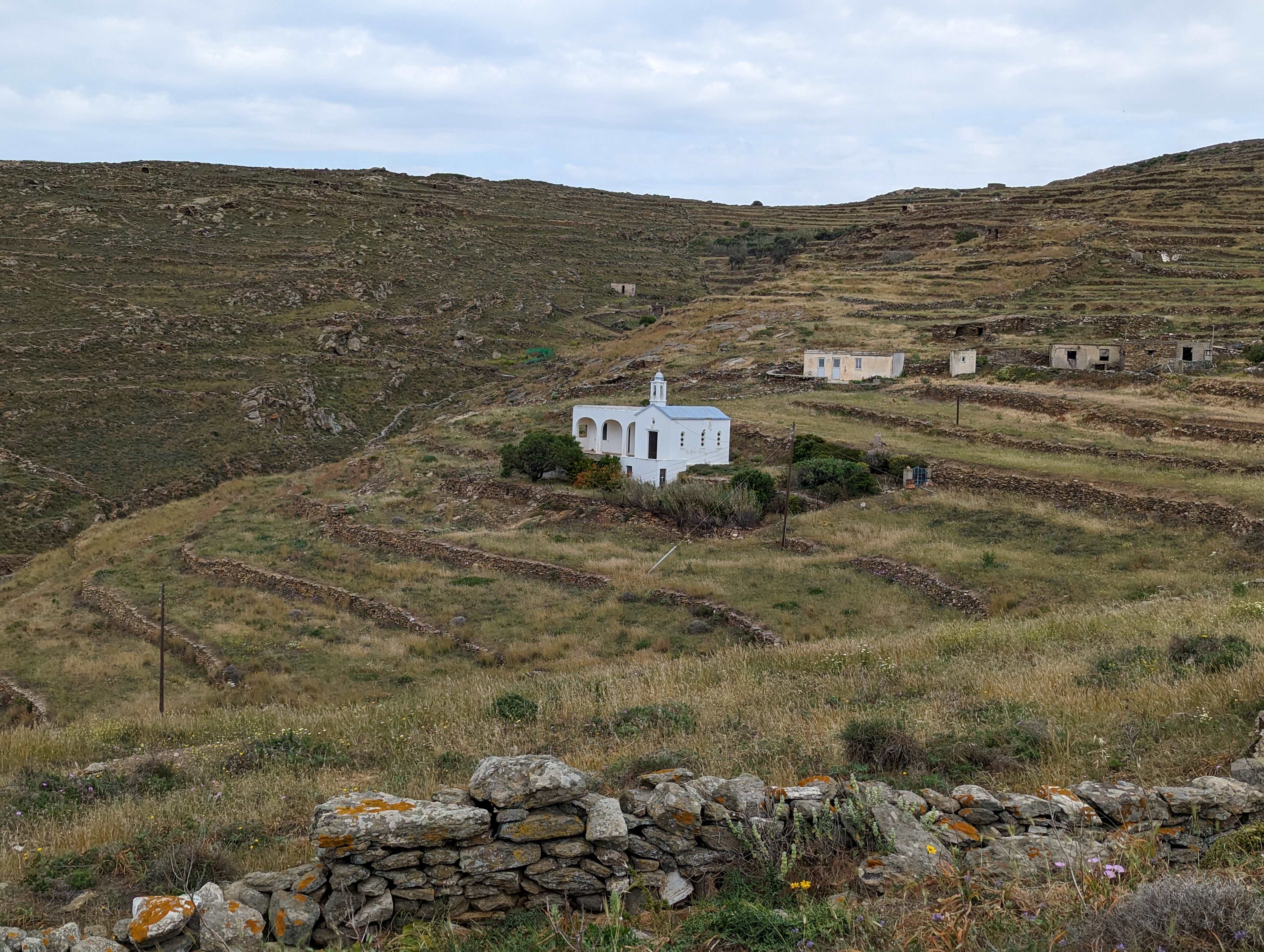
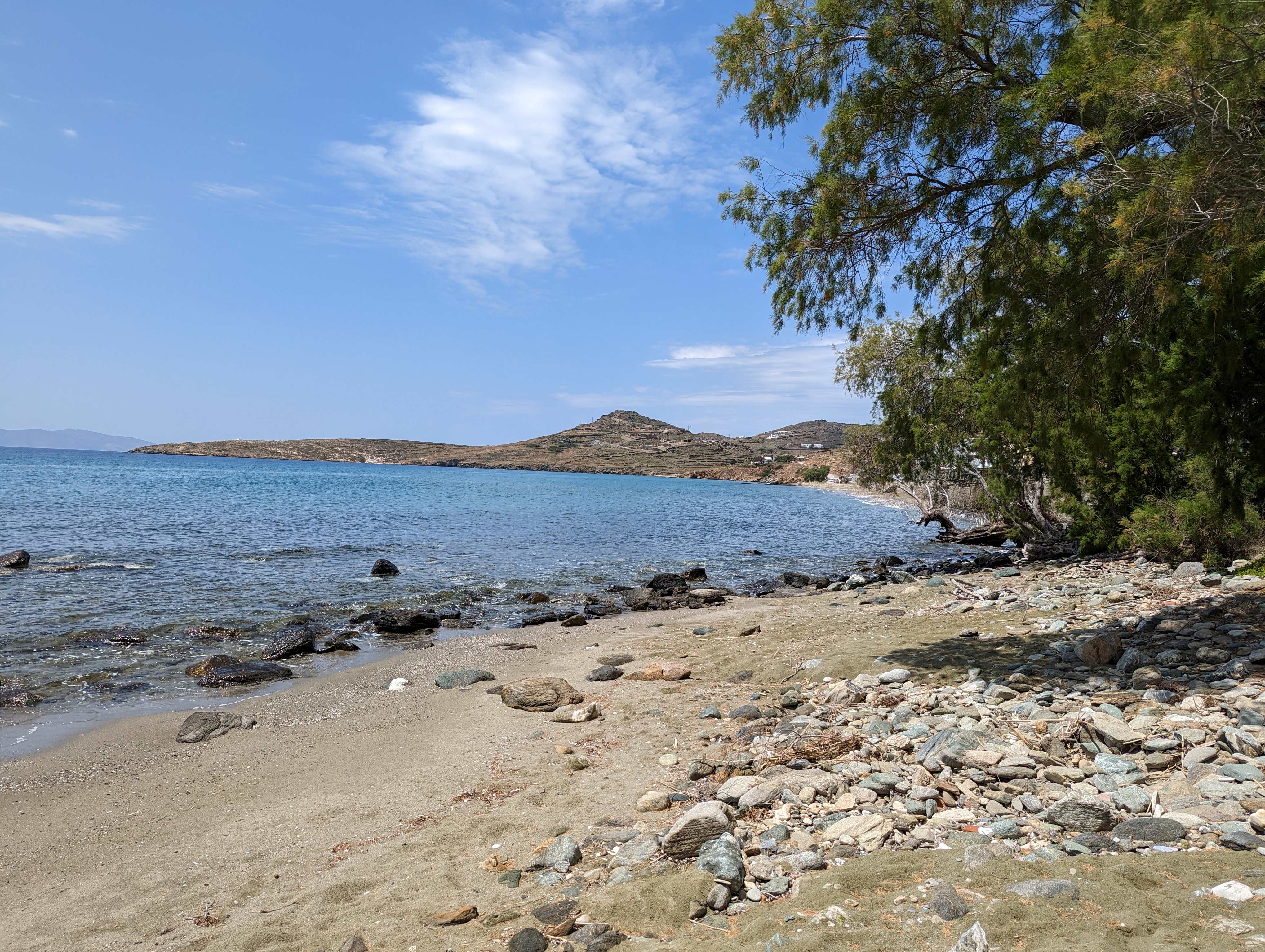
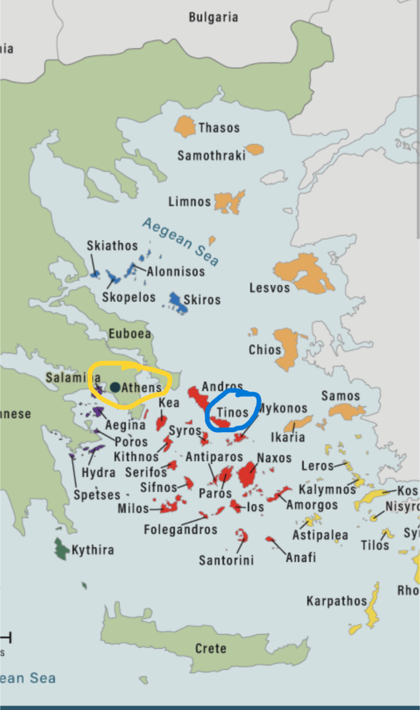
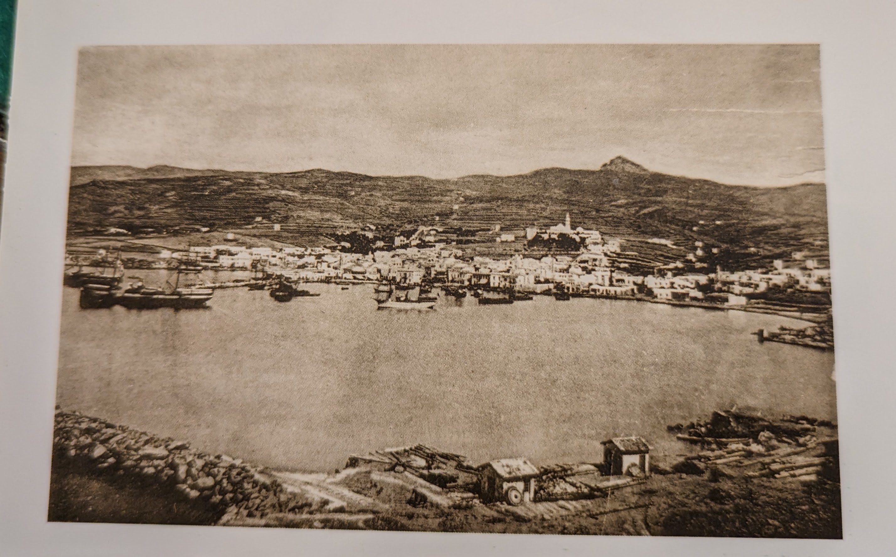
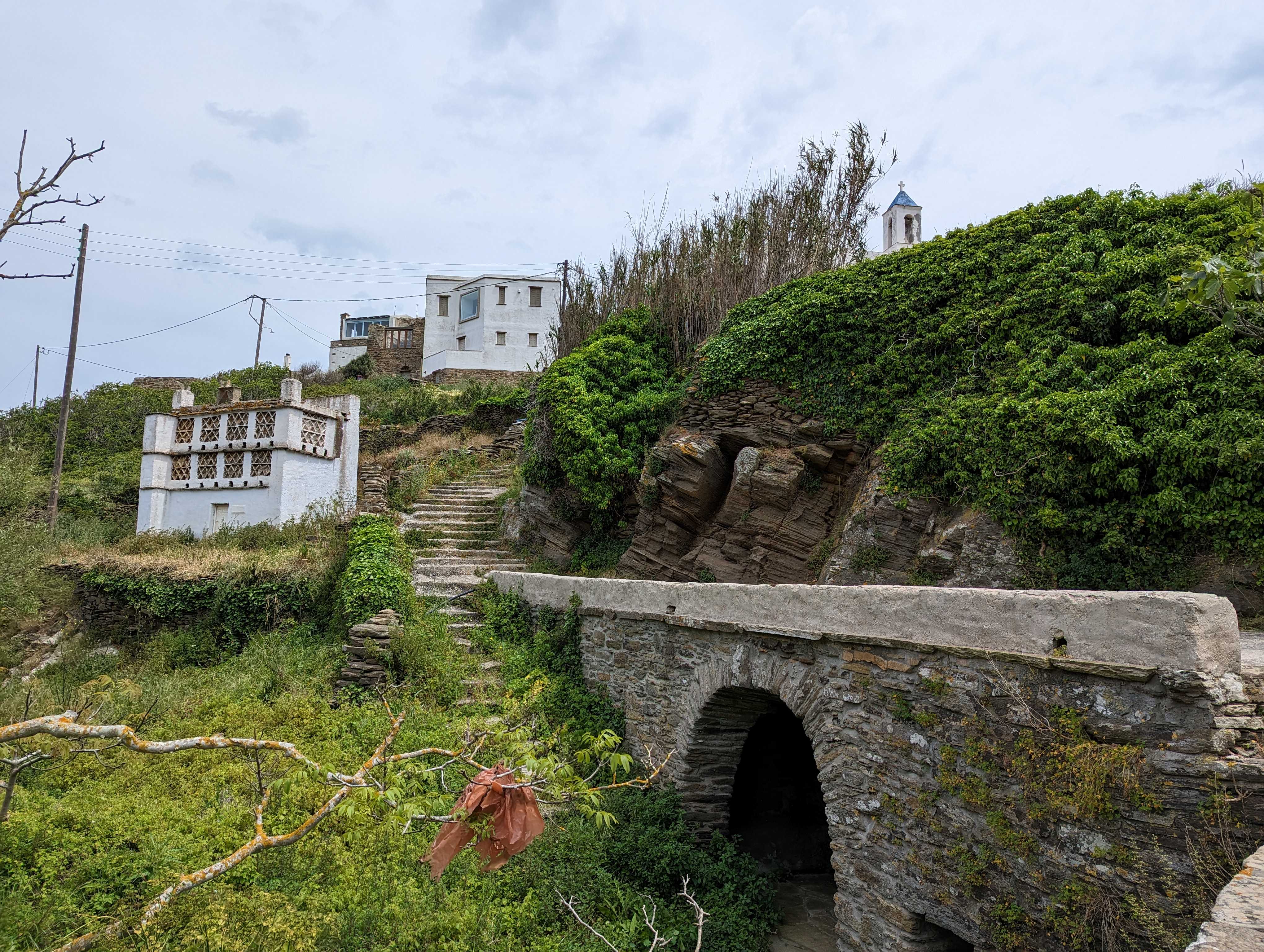
After that autumn in Spain, I returned many times. Walking other solo caminos such as the Via de la Plata (1000 kms) from Seville to Santiago, and from Porto in Portugal also to Santiago (it is said that all roads lead there) were amazing experiences. I made pilgrimage in other parts of Spain too, notably in Cataluna. I walked the Via Sacra in Austria, and shorter routes in Estonia, Greece, Norway, Hungary, France, Switzerland, Croatia, in Ireland, Wales and Scotland.

Girona, Spain

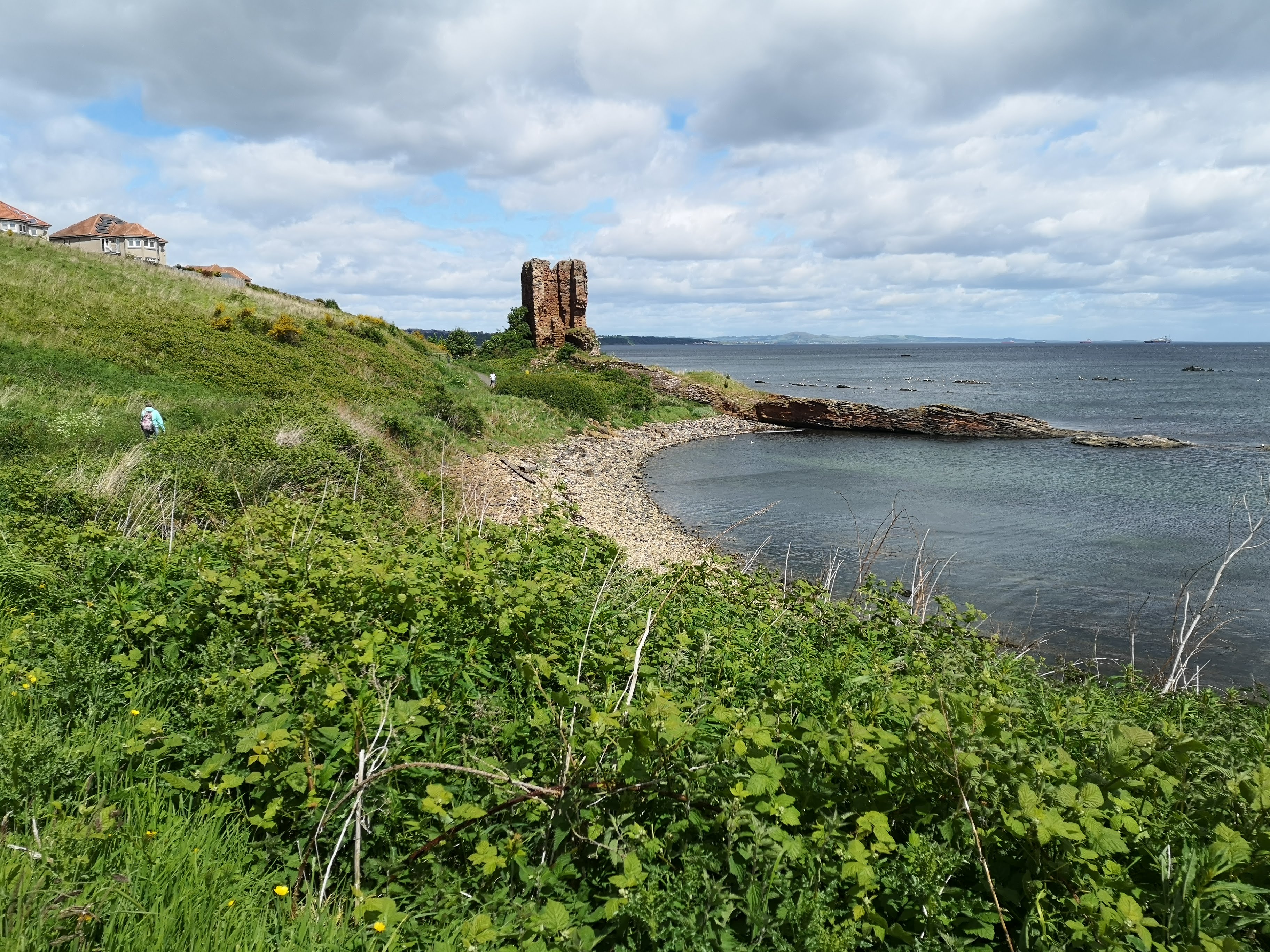
It was in Scotland that I joined the Pilgrimage for COP26 (2021) and later I walked the St Margaret Way and the St Magnus Way on Orkney.

Seafield Tower near Kinghorn, Fife, Scotland

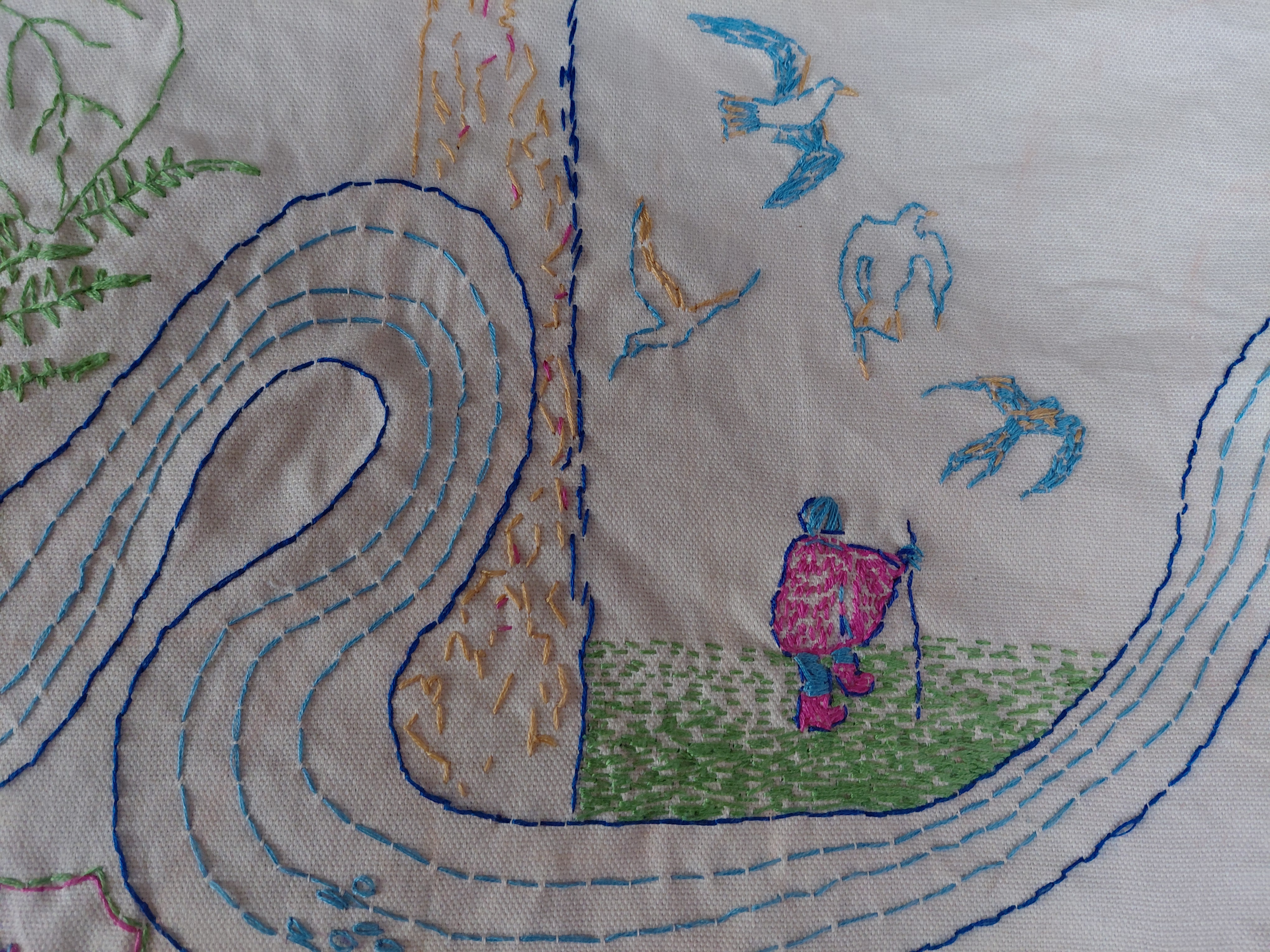
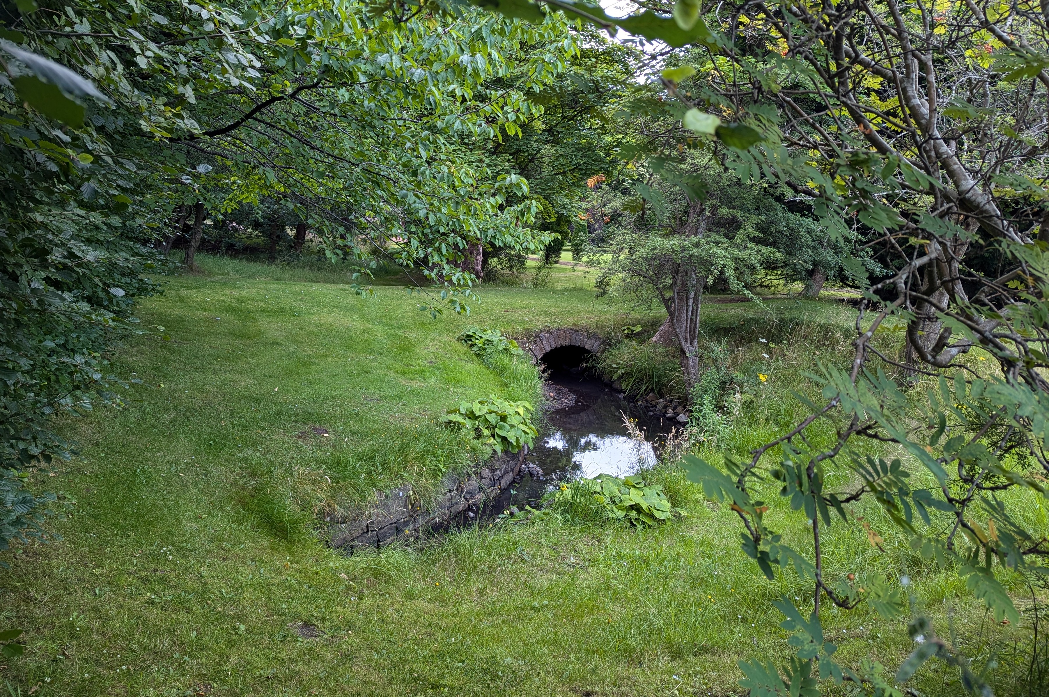
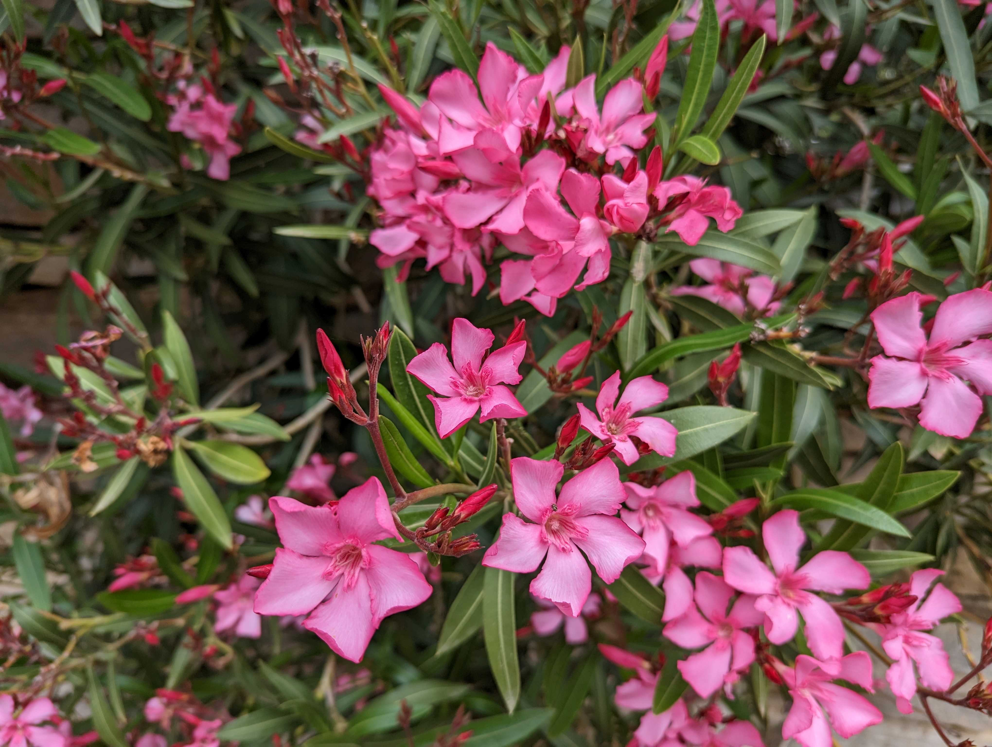
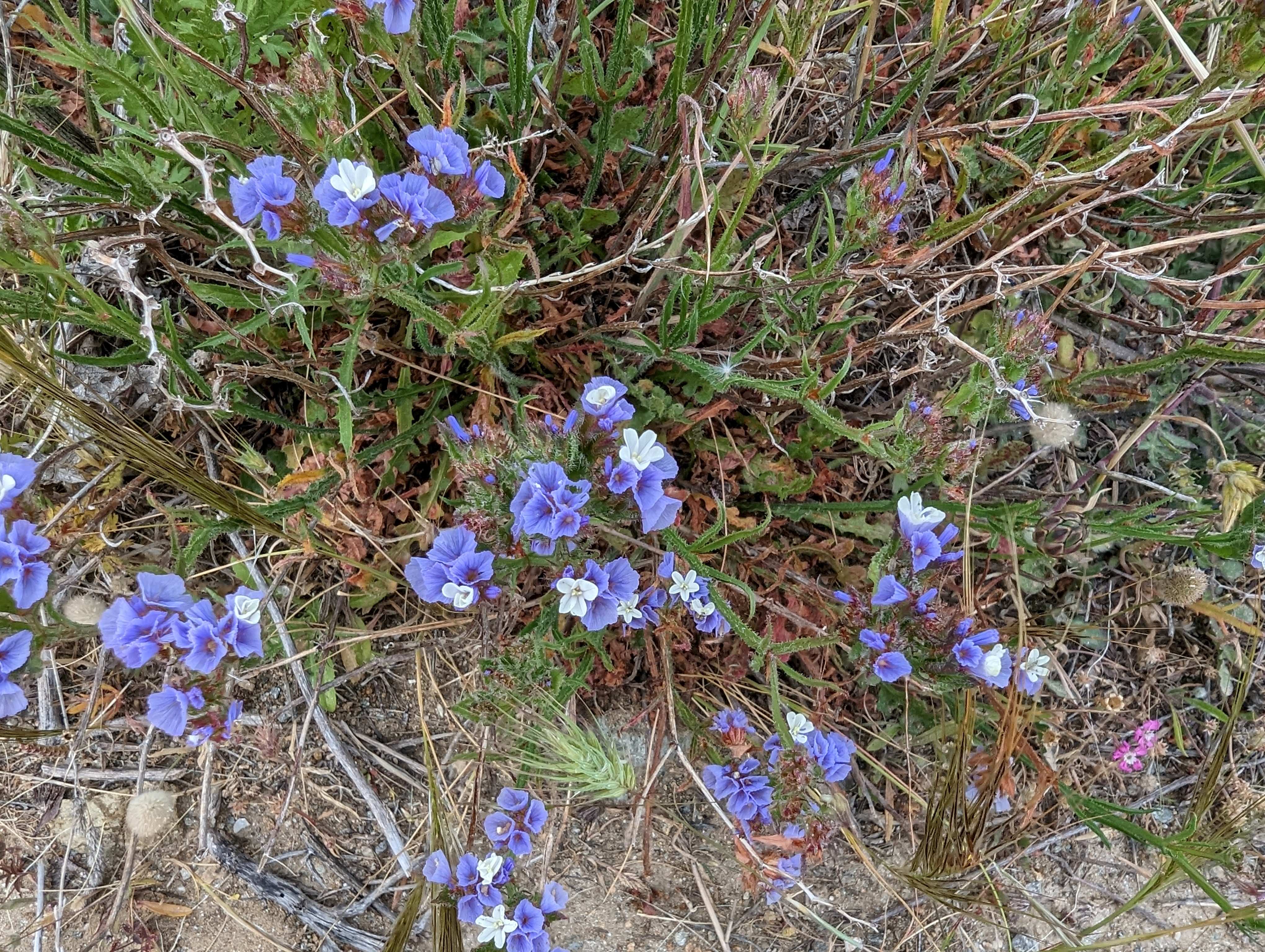
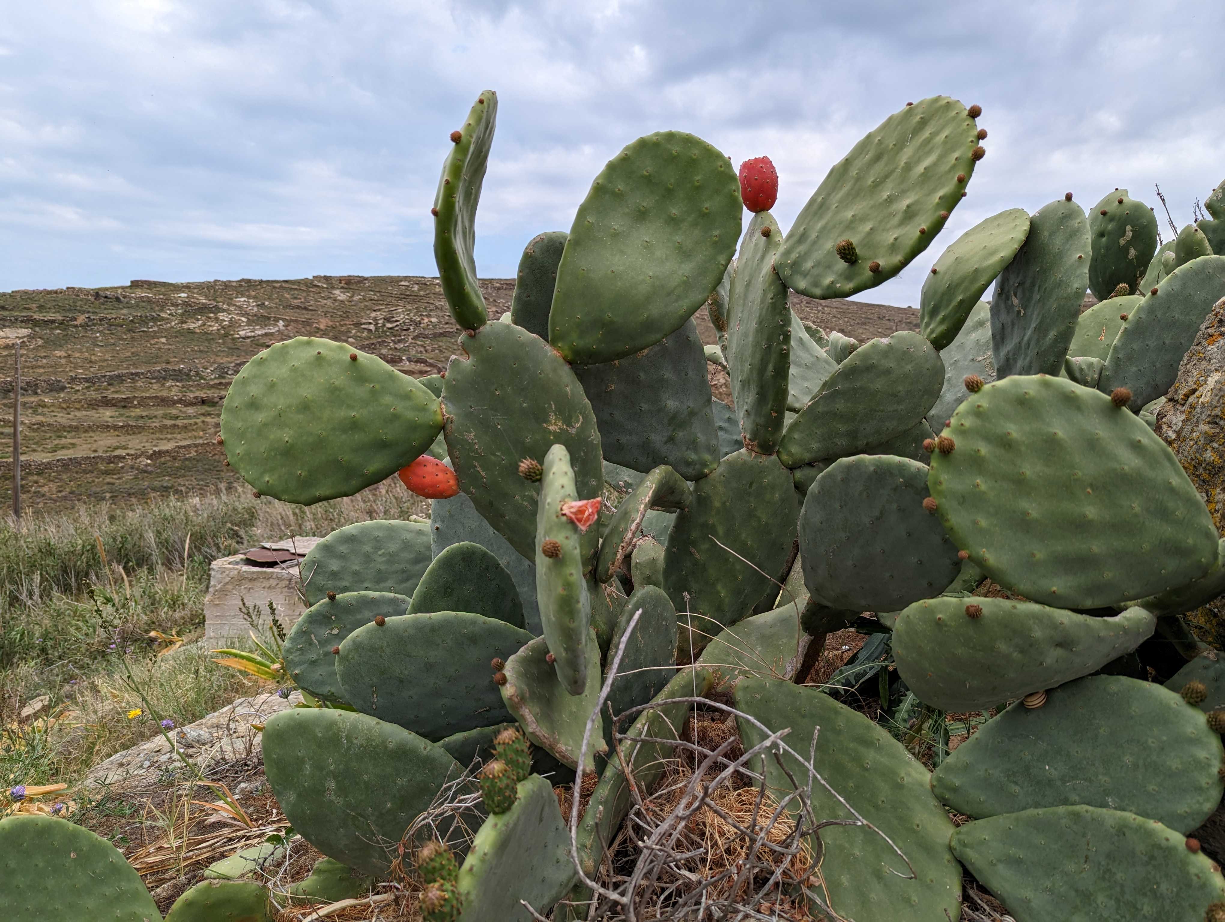
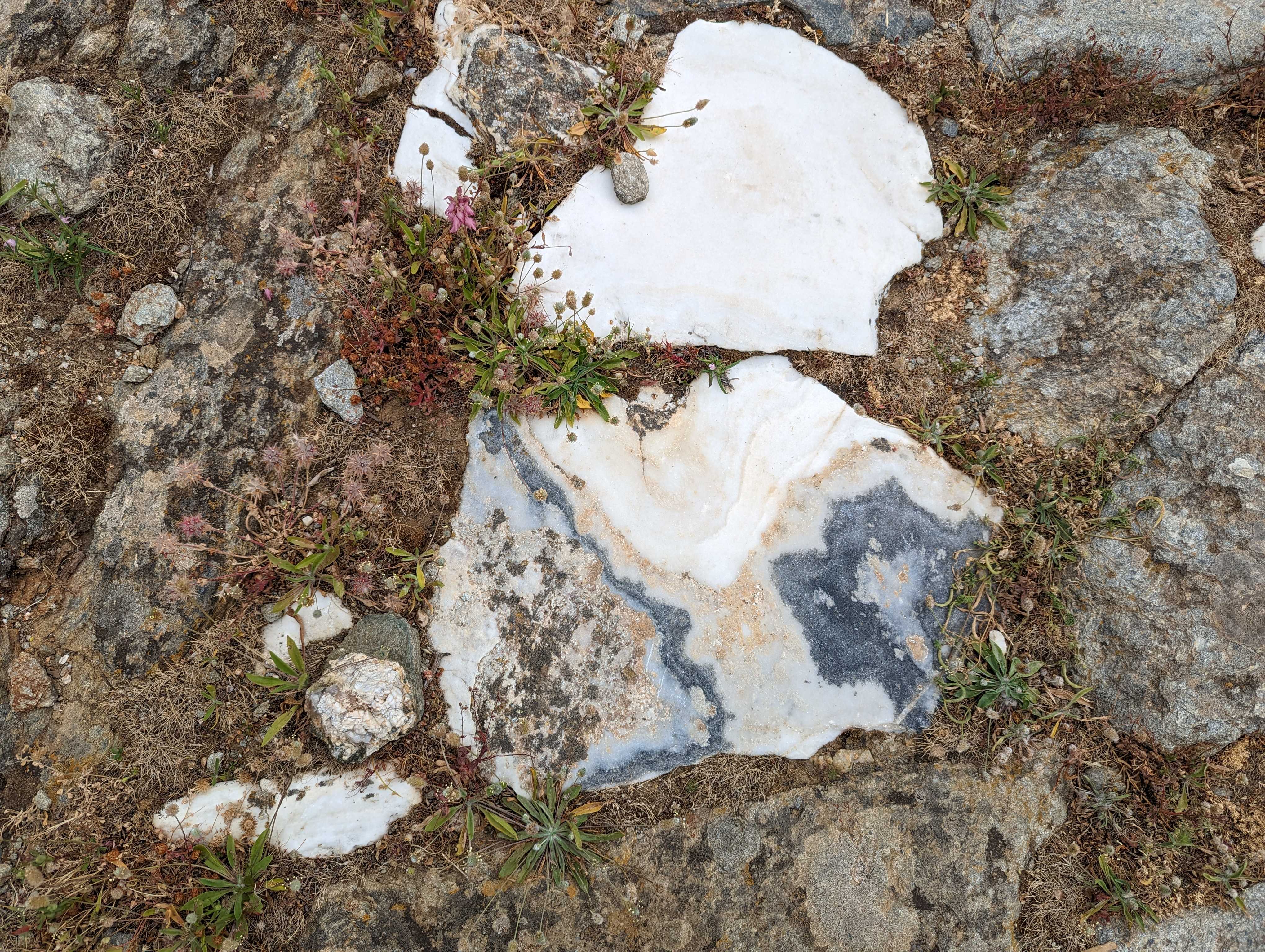
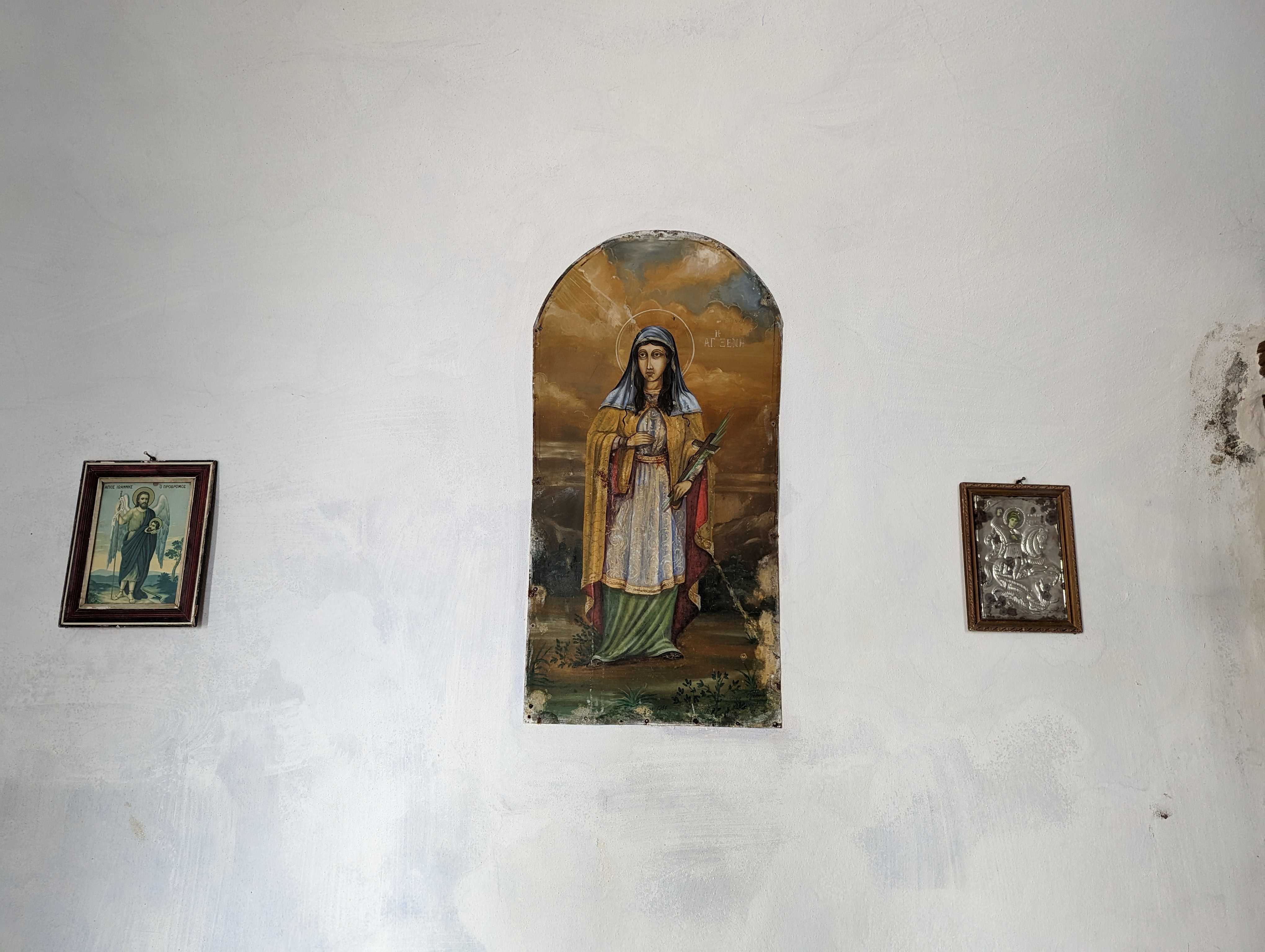
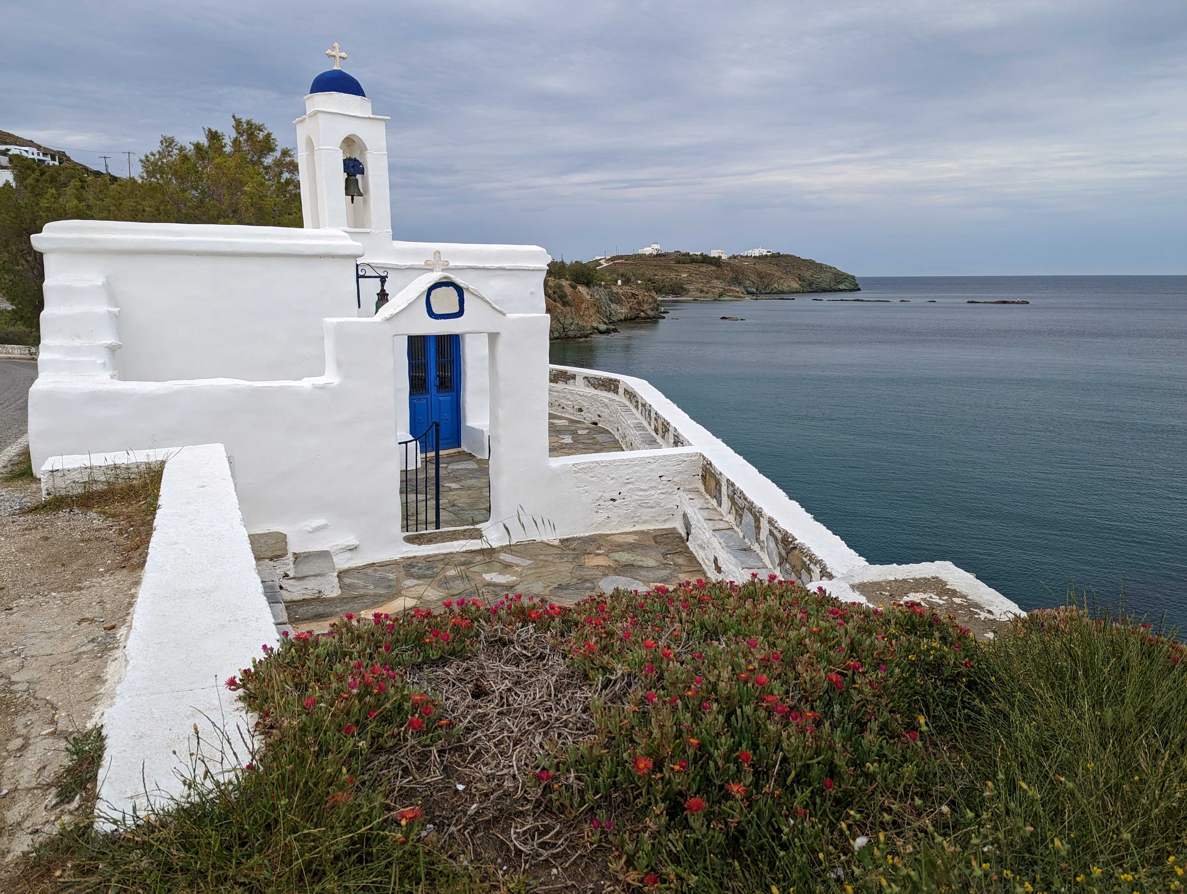
Secular pilgrimages are often long-distance walks that involve walking to places of spiritual significance. Whilst I don’t follow any religion or subscribe to a particular Way, I have studied Taoist philosophy and have attended a Buddhist sangha for many years. If I had to choose a deity, it would be Gaia, goddess of the Earth, because being part of nature and walking the landscape is a vital and necessary part of my life. Walking day-by-day, from place to place, one step at a time, is a meditation. Sometimes, the routes are named and prescribed in advance; at other times, I wander or drift in the spirit of psychogeography, following my intuition or signs around me. These walks are part of my art practice as well as being seen as pilgrimage: walks with an intention, for the chance to muse and remember, to commune with the ground, air and something ‘other’. I walk to see where the path takes me.

The Granton Burn, a stitched textile map; pilgrimage to a lost river. Edinburgh, Scotland

Walking secular pilgrimage is a simple act in many ways. To keep moving, passing through village, town and city, meeting people and saying goodbye, is humbling and an exercise in letting go. Never staying long, paying my respects and being respectful, I am a simple visitor, a traveller.

Images from day 1 of the St Margaret’s Way pilgrimage walking from Edinburgh to South Queensferry

Someone who travels, wanders

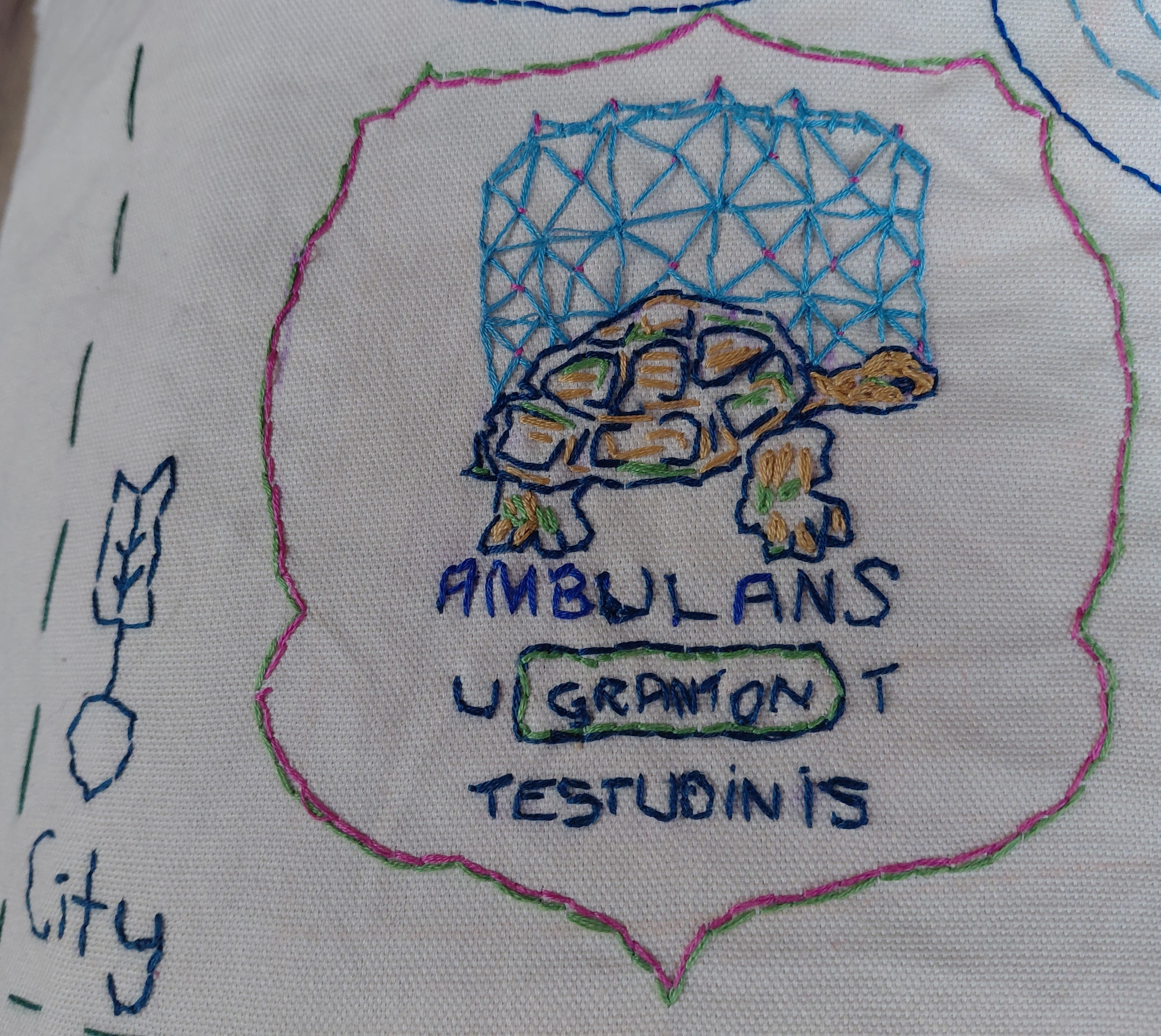
Peregrination is related to the Peregrine Falcon. The fastest animal known, with dives measuring upwards of one hundred and eighty-six miles per hour, the Falco peregrinus can be found all around the globe and the peregrinus part refers to a wanderer. Jess Jennison in WordOriginStories.com breaks the etymology of the bird’s name down into per meaning through and agr- land. This is further extrapolated to coming from abroad and travelling or migratory. The word apparently changed over time, from peregrinus to pelegrinus (with an ‘l’) then became to pelerin in French and pilegrim in Old English. Over the years, peregrine (the adjective) came to mean having a tendency to wander, and a pilgrim, someone who travels to a holy place. 

The name of the blog ‘Walking Without a Donkey’ references Robert Louis Stevenson’s Walking with a Donkey in the Cevennes and nods to the fact that I carry my own rucksack; I am my own ass.

Community pilgrimage

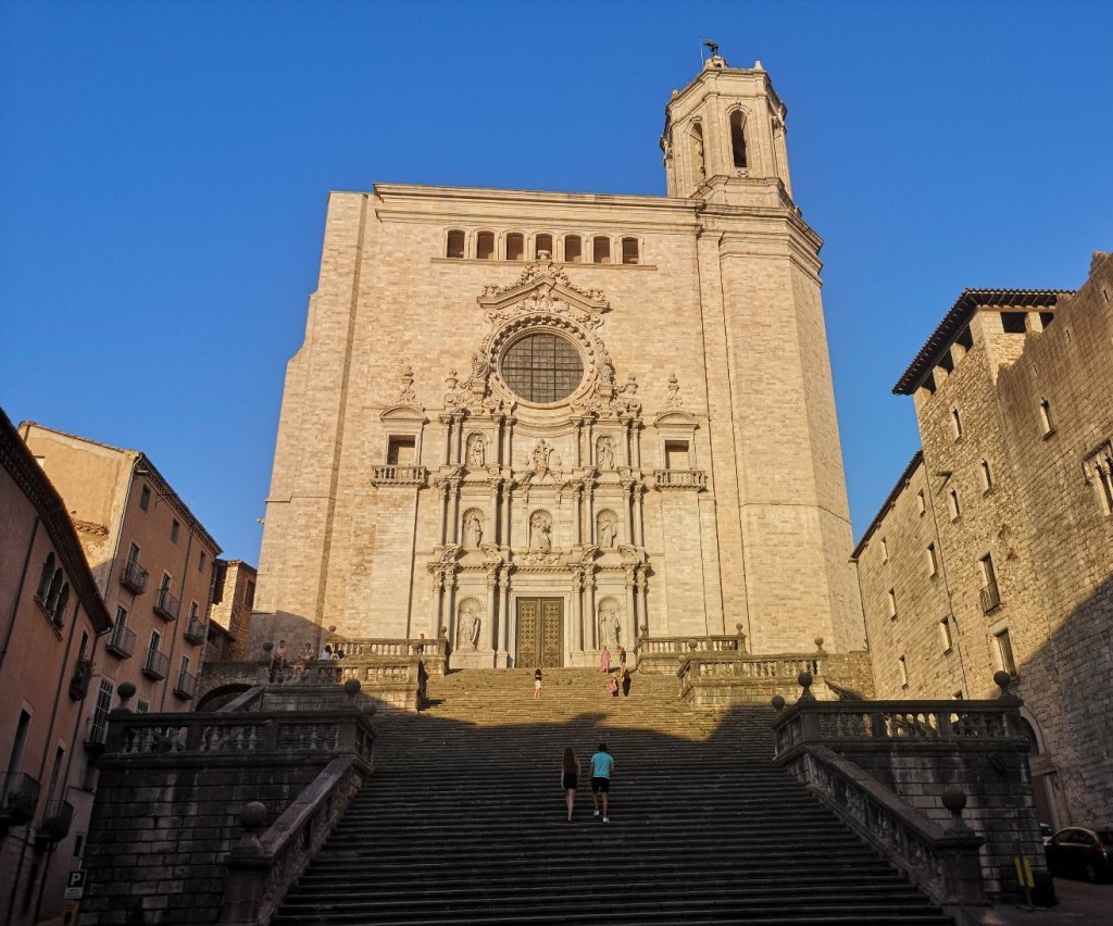
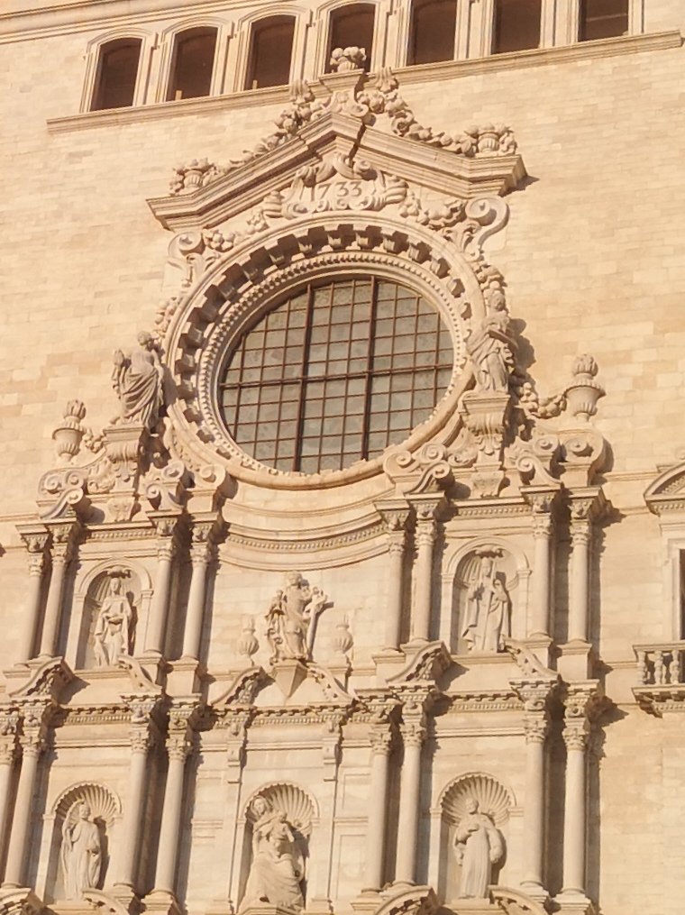
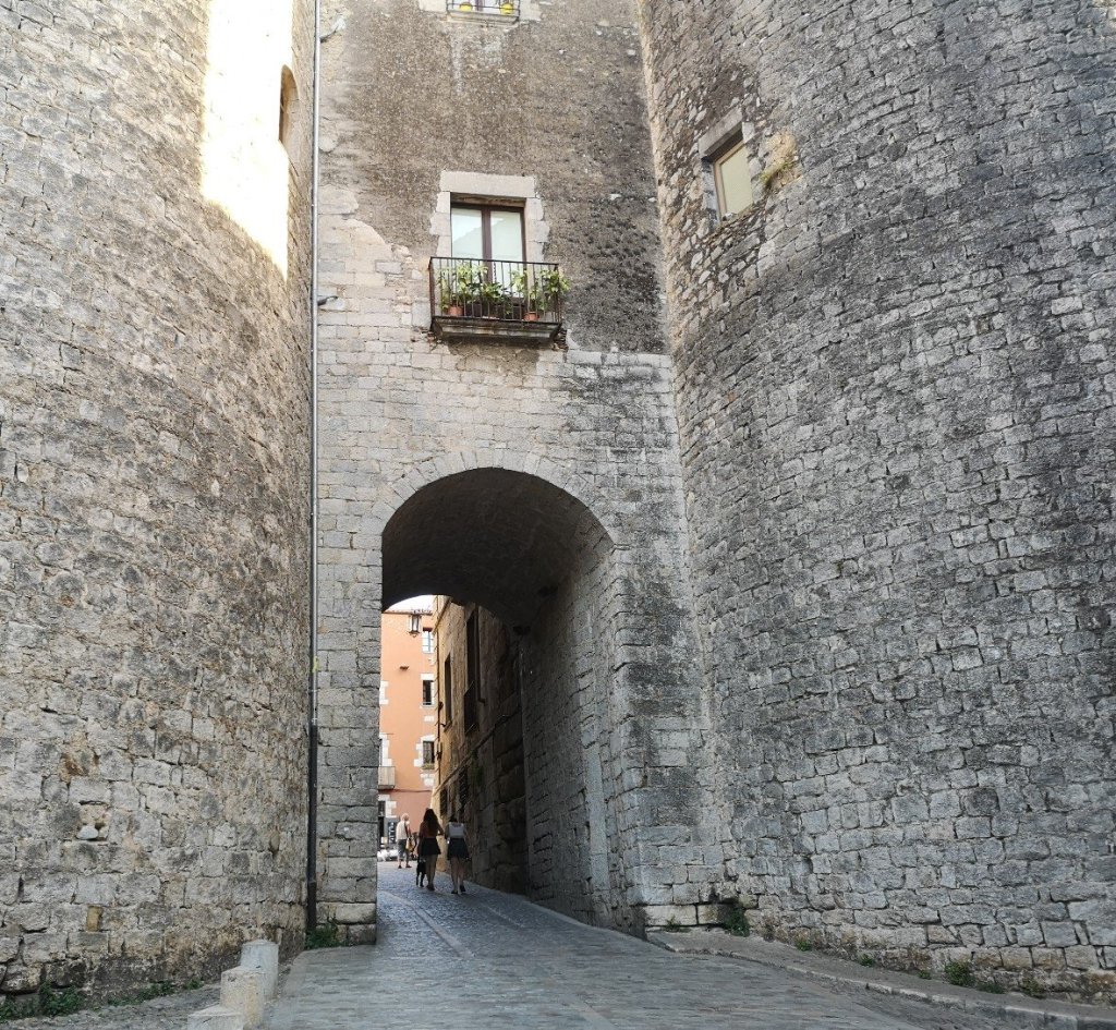
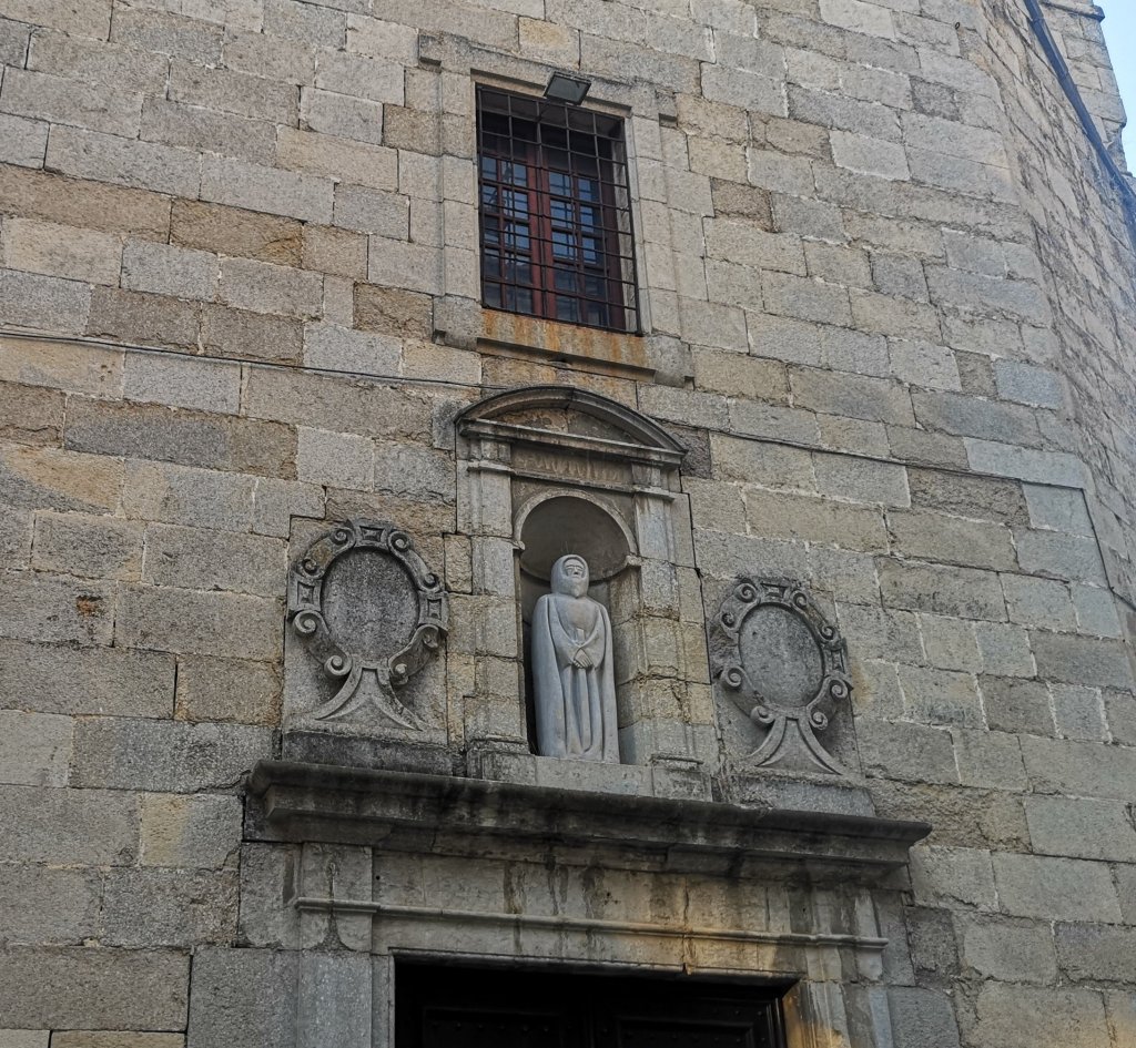
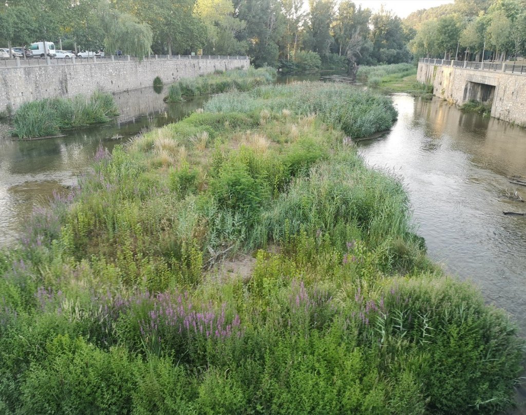
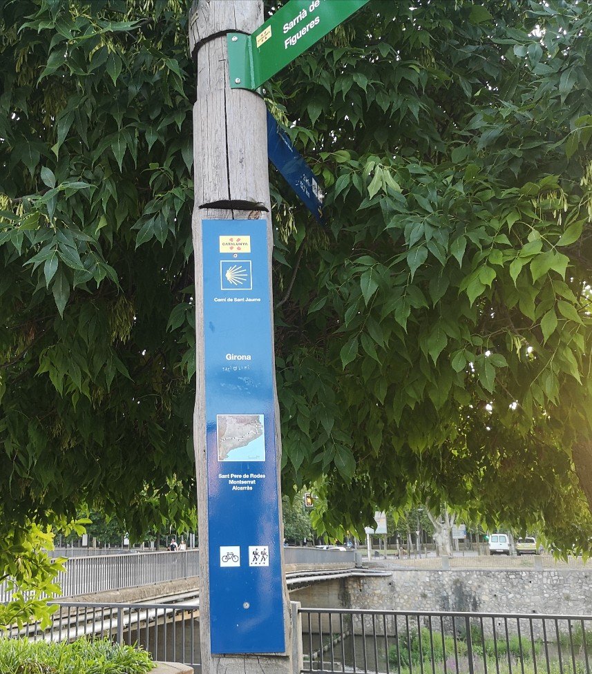
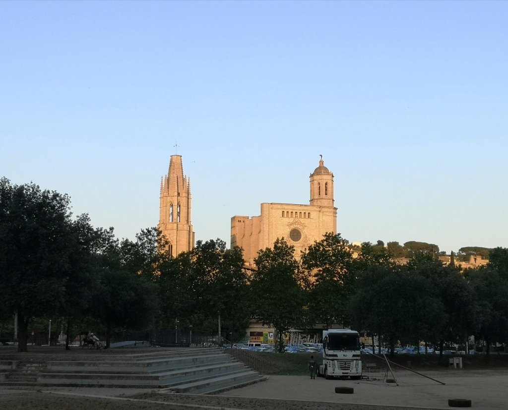
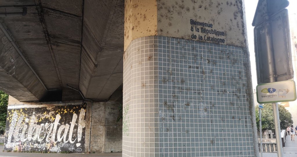
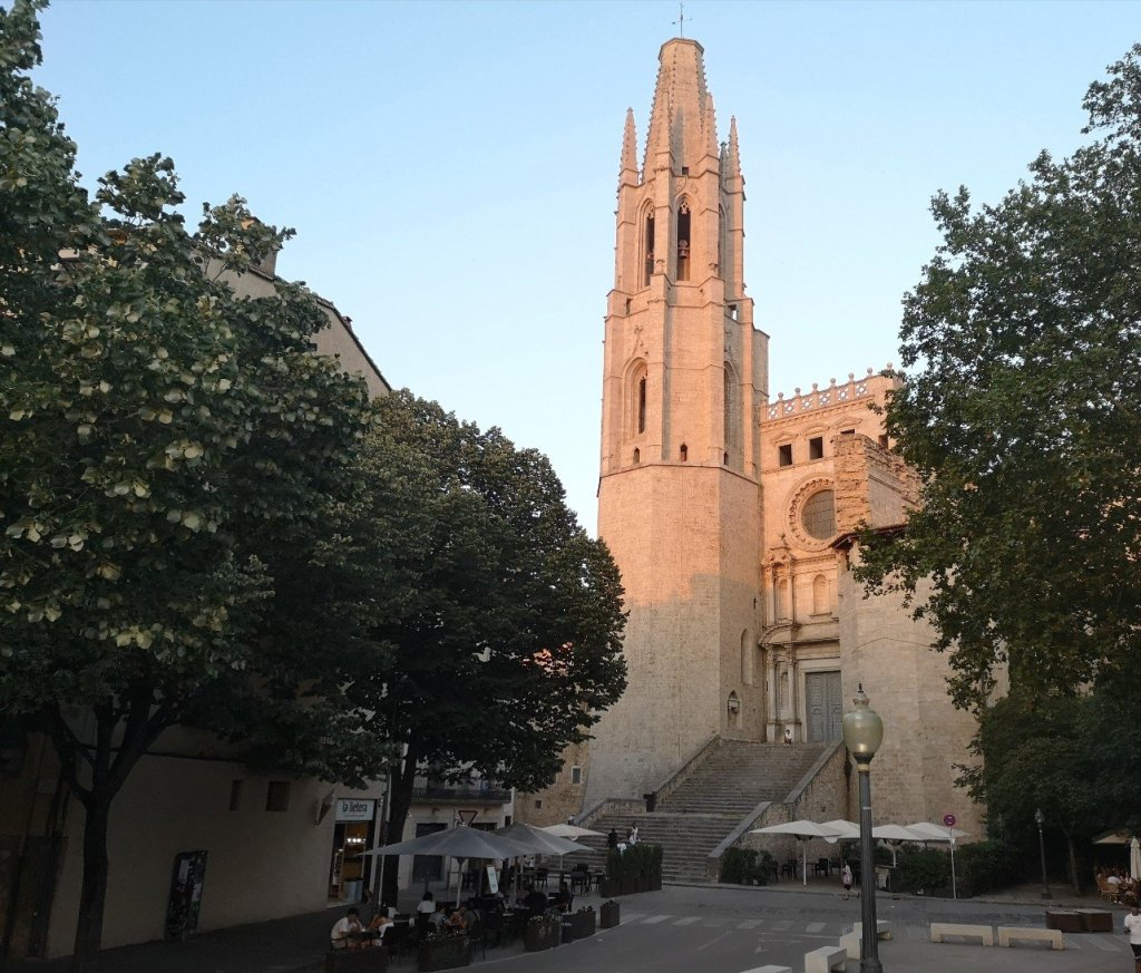
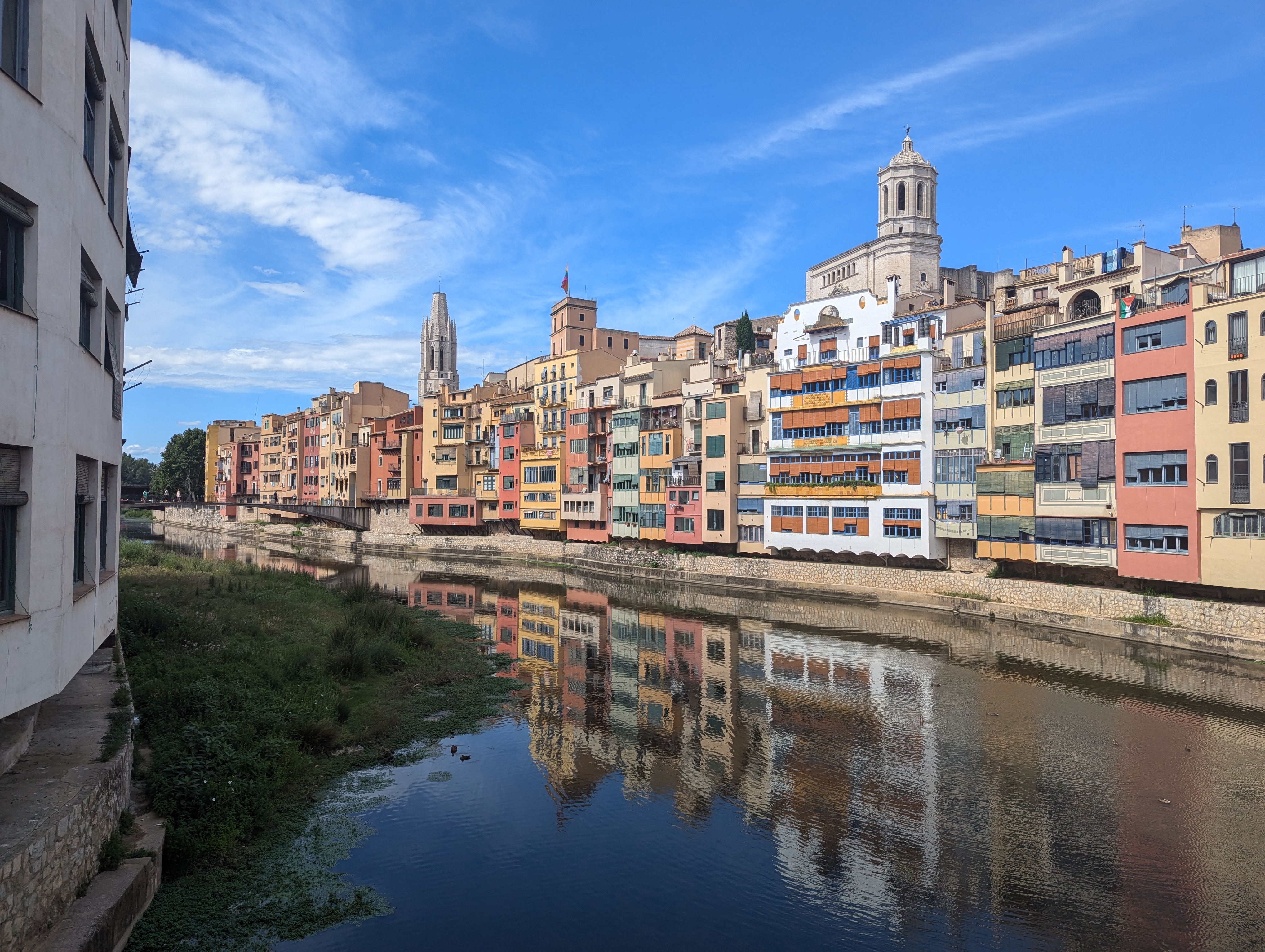
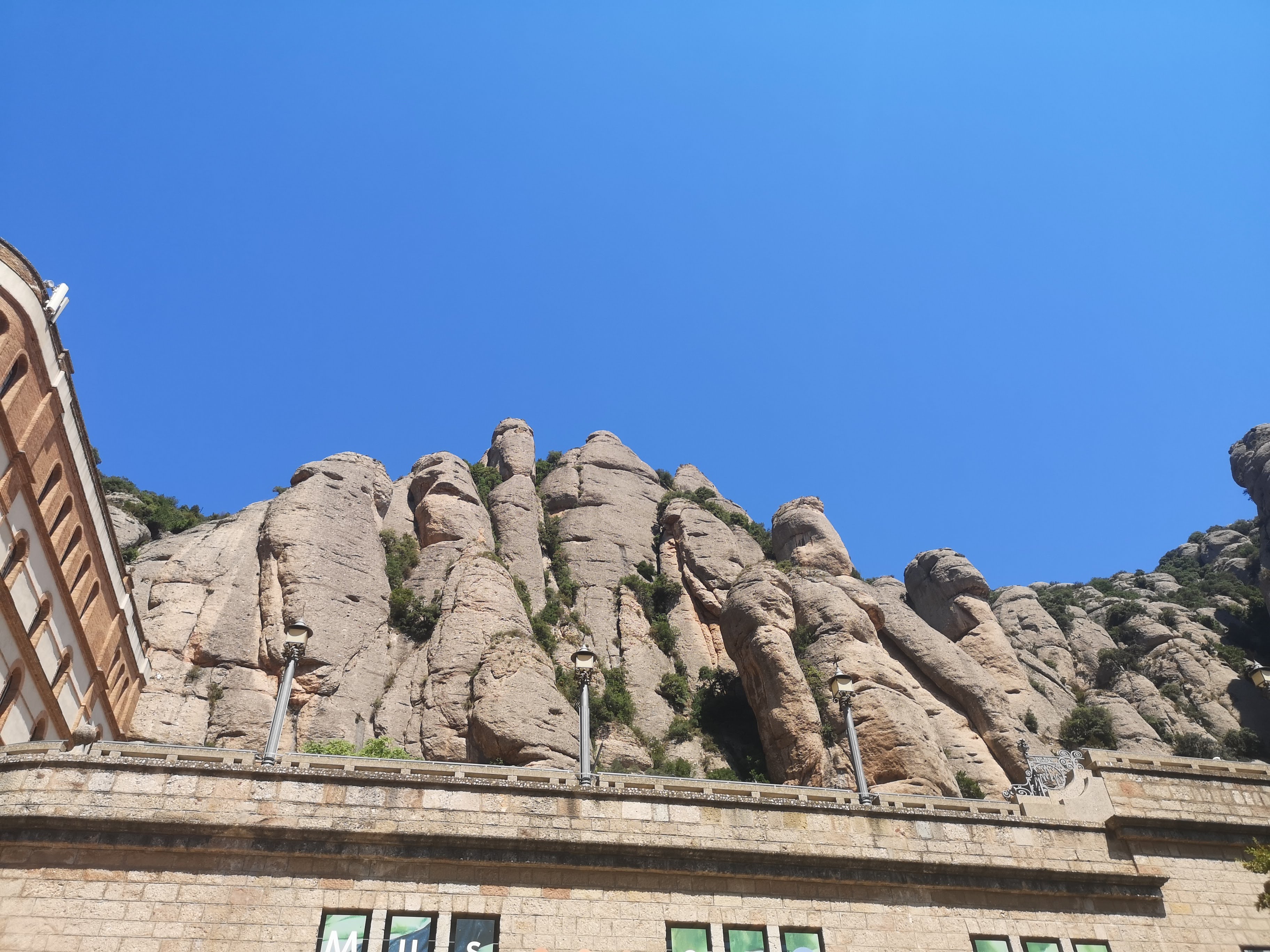
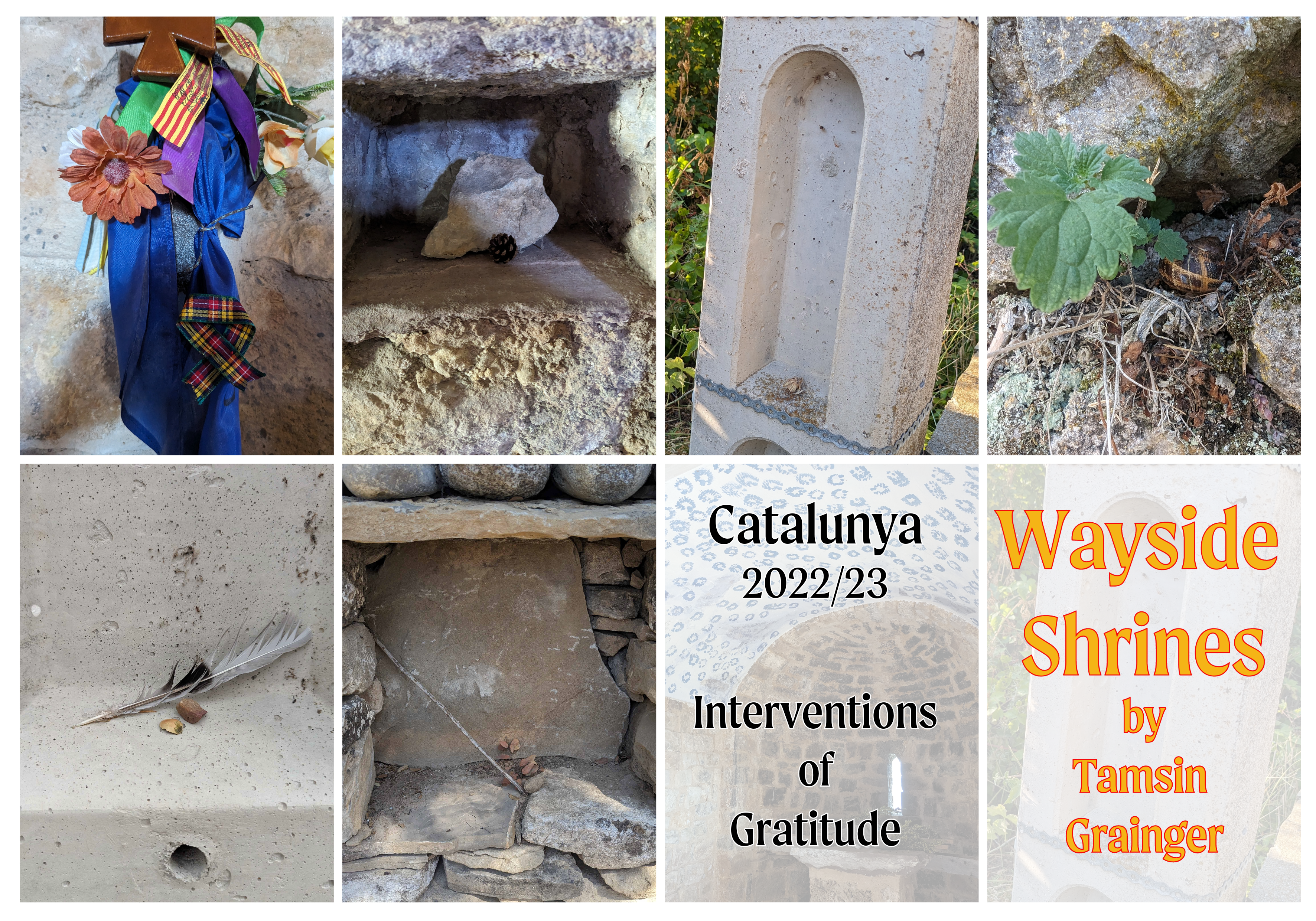
The Girona mini pilgrimage is an example of a community pilgrimage. Part of the Walking Arts Encounters in Cataluna, 2022. It was followed by two more in other parts of Cataluna: Olot and Vic. I walked solo pilgrimage along parts of the Cami Sant Jaume before the Walking Arts Encounters began, and to Montserrat afterwards.
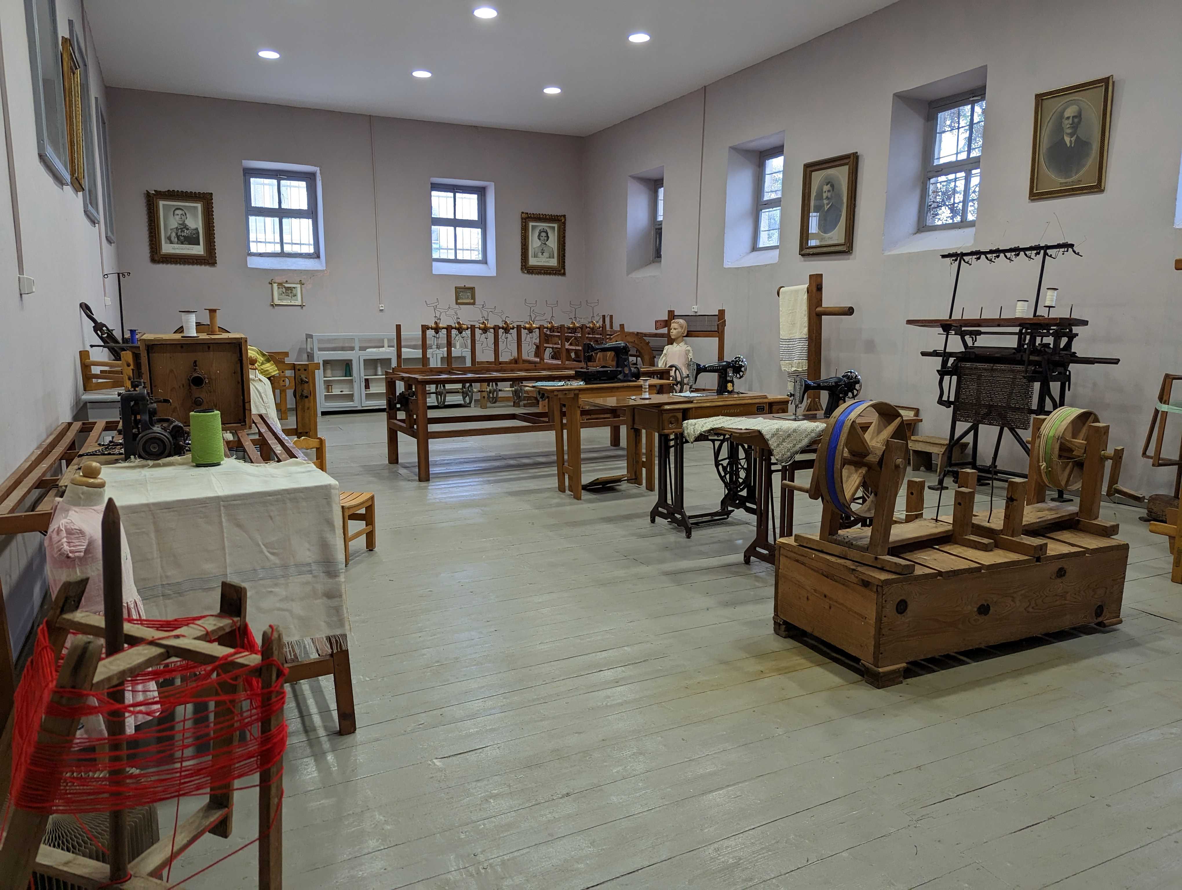
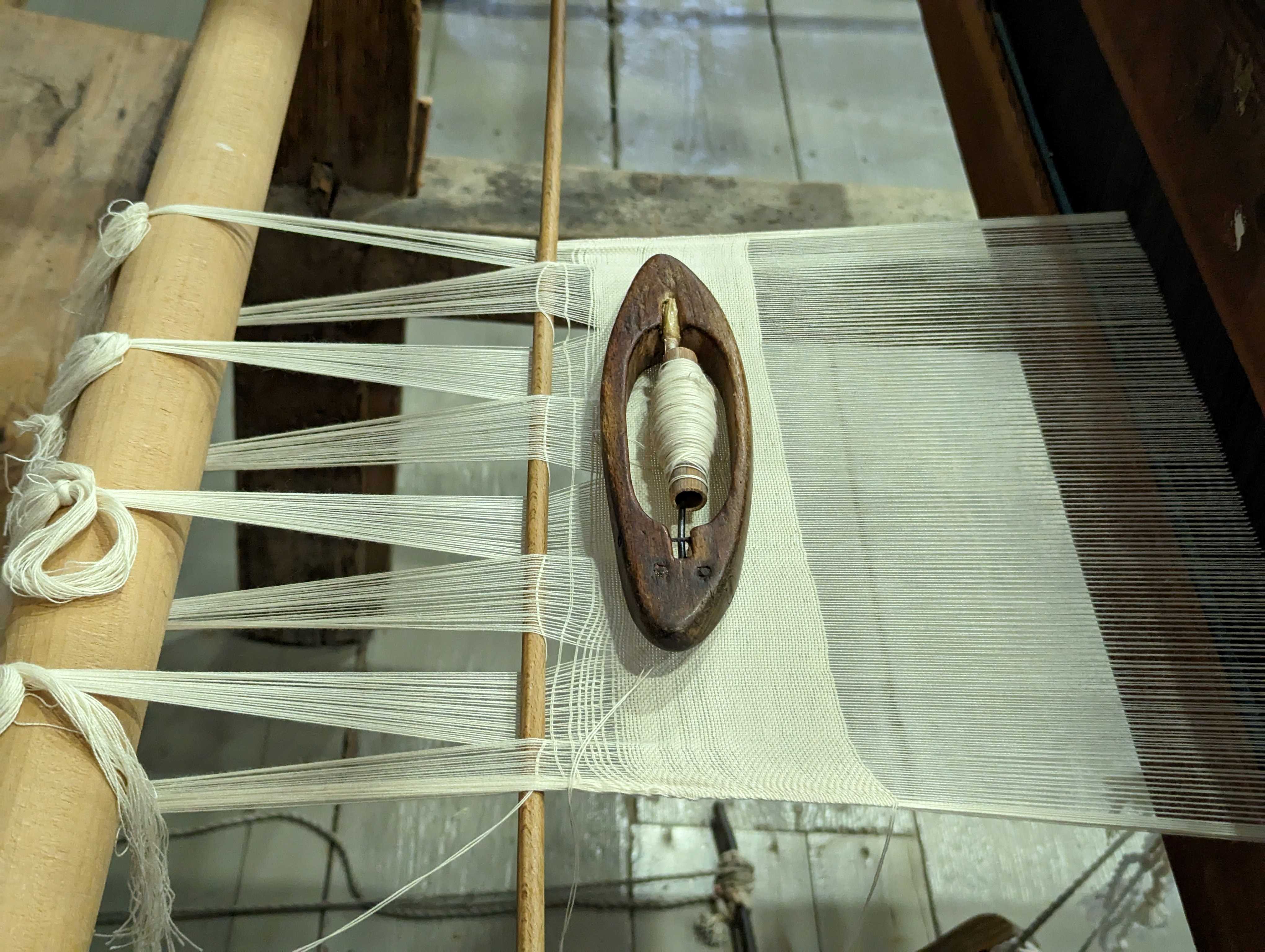
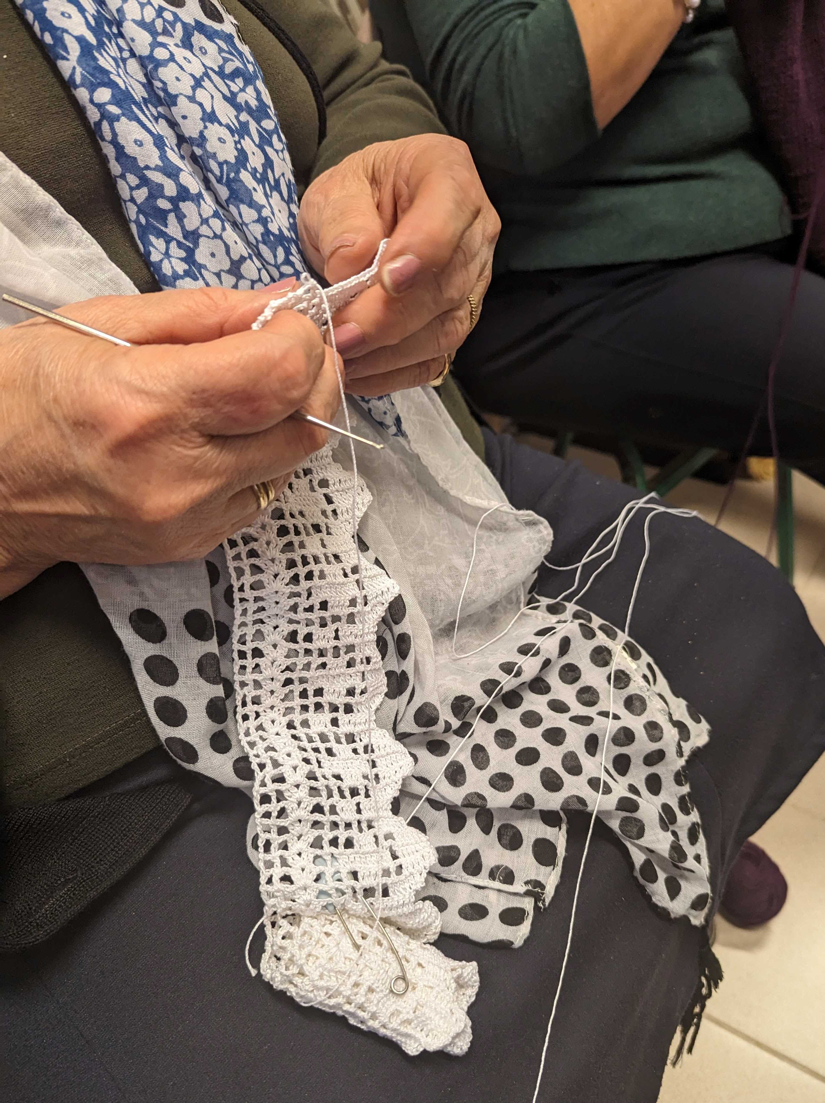
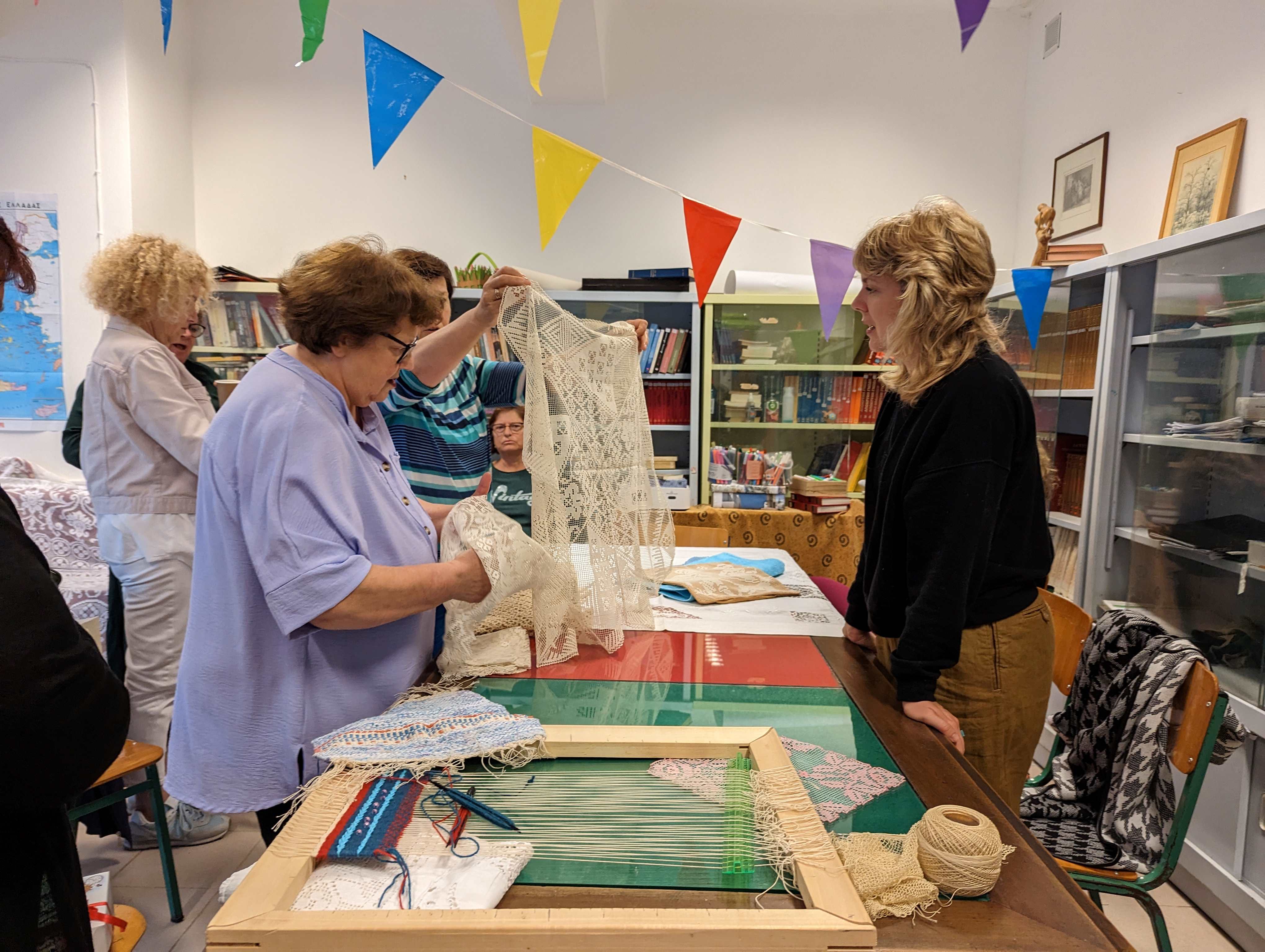
Pilgrimage to Montserrat

Art and Pilgrimage

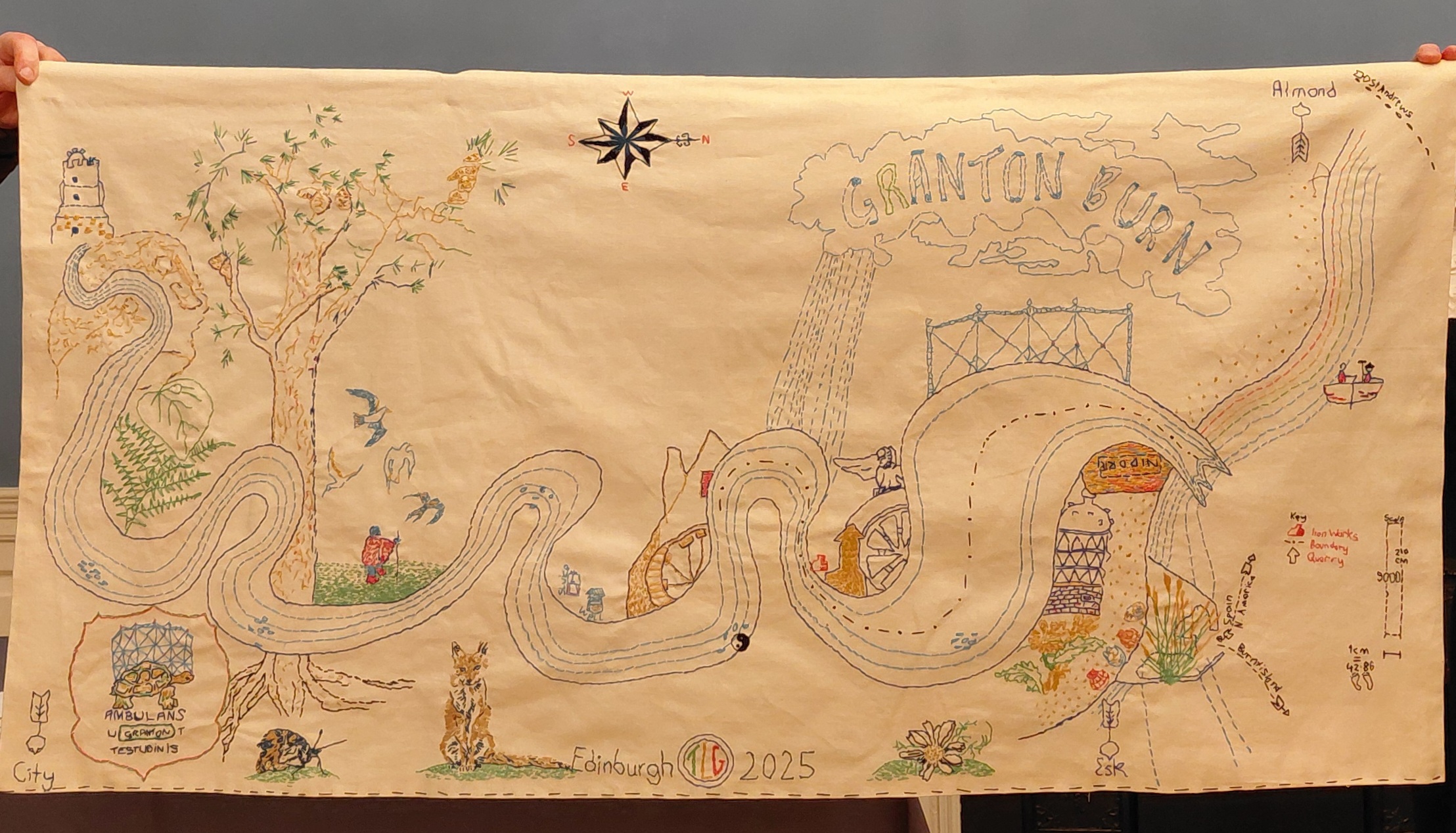
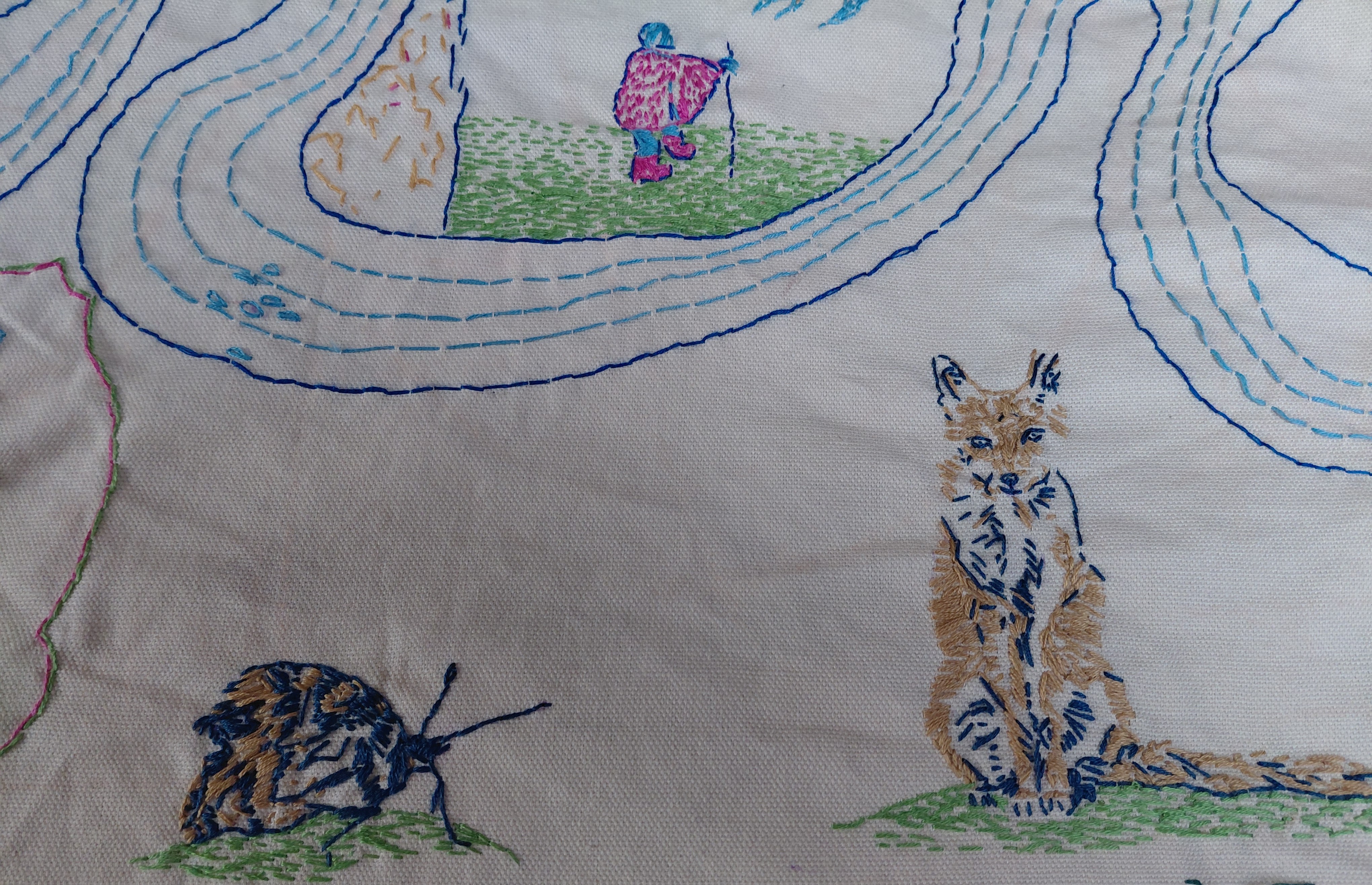
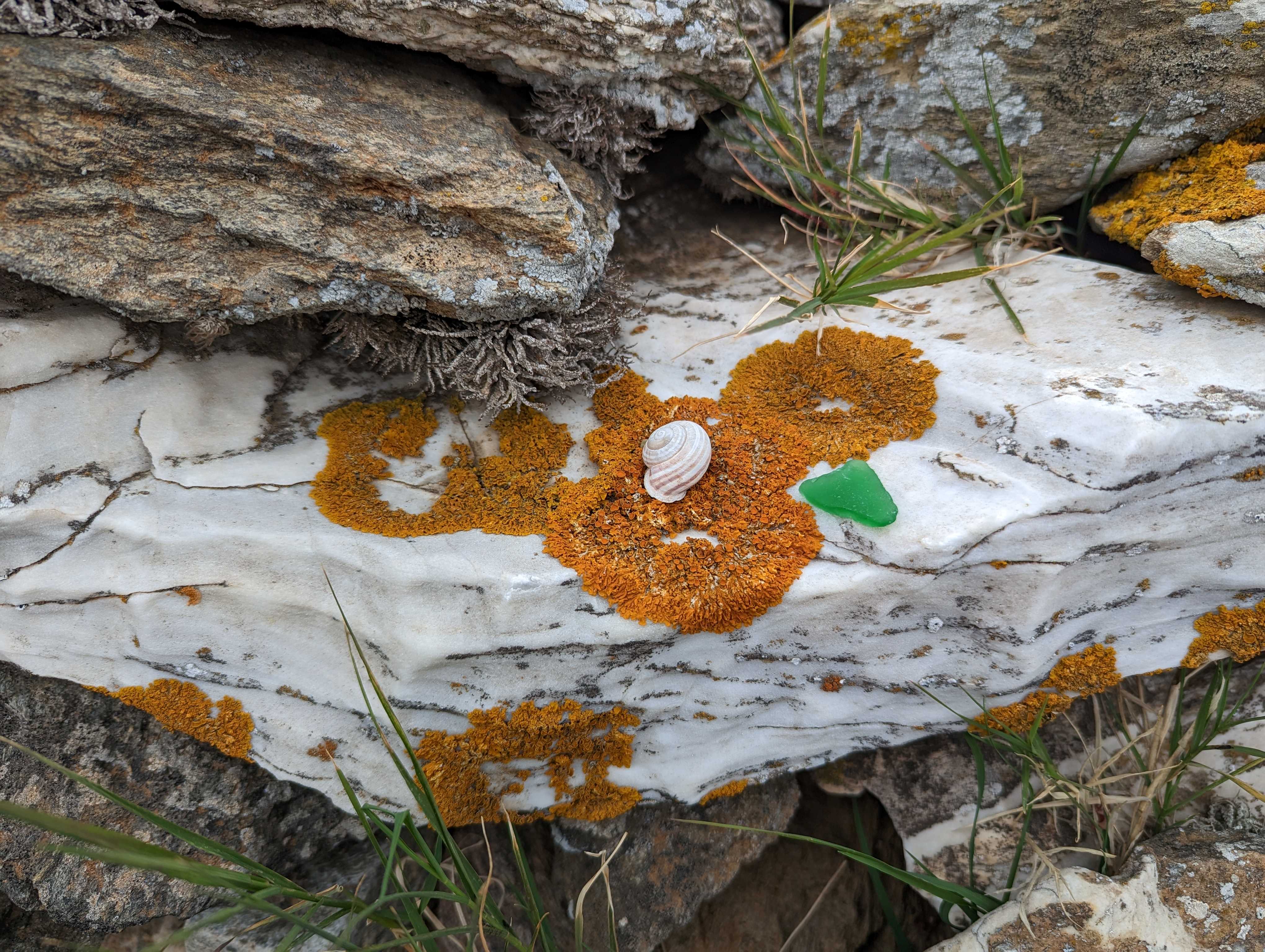
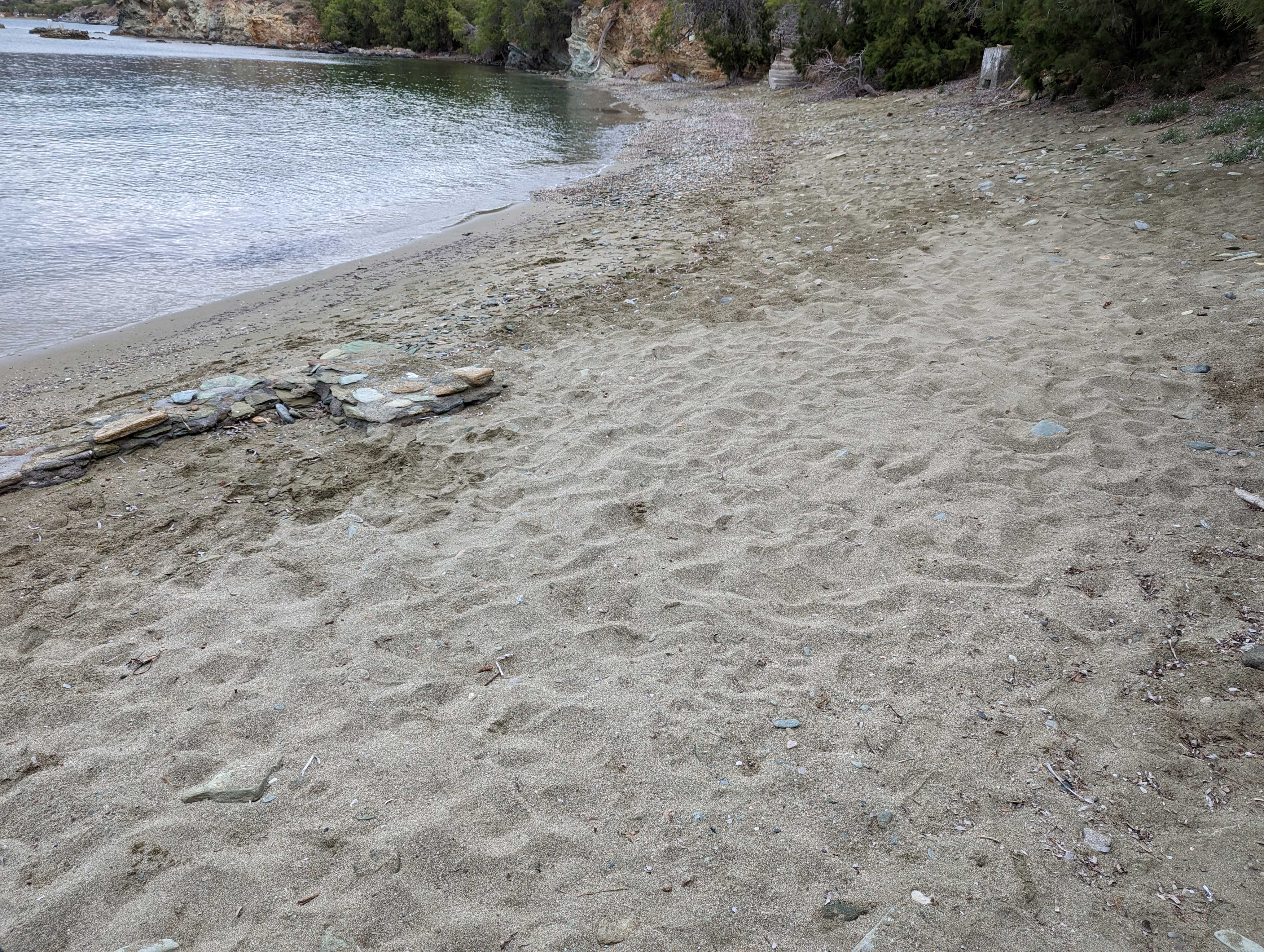
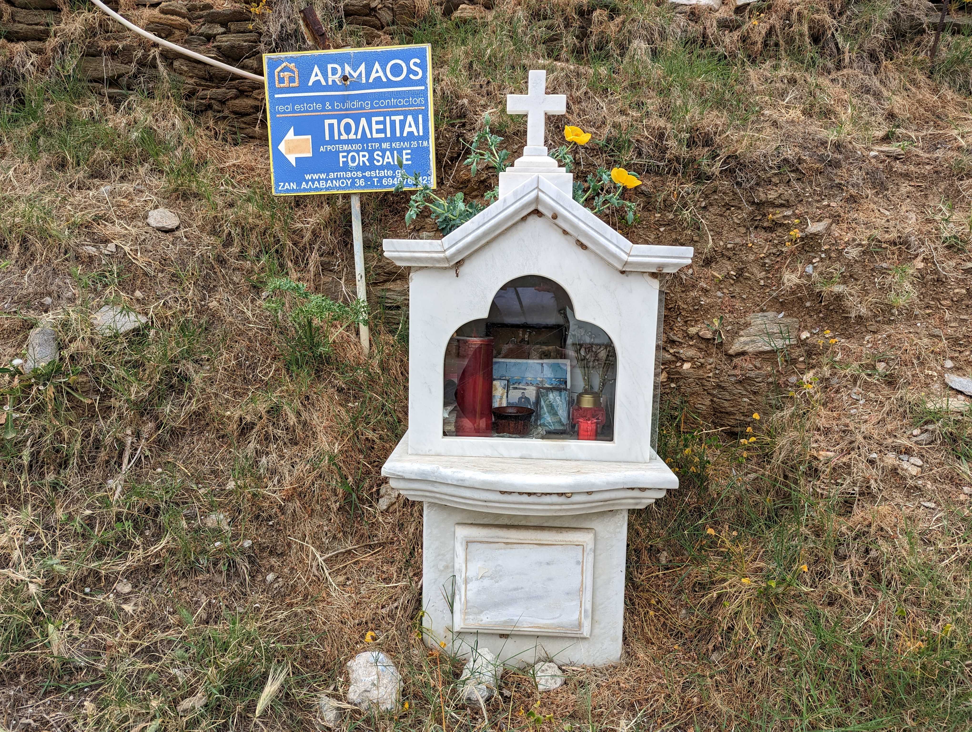
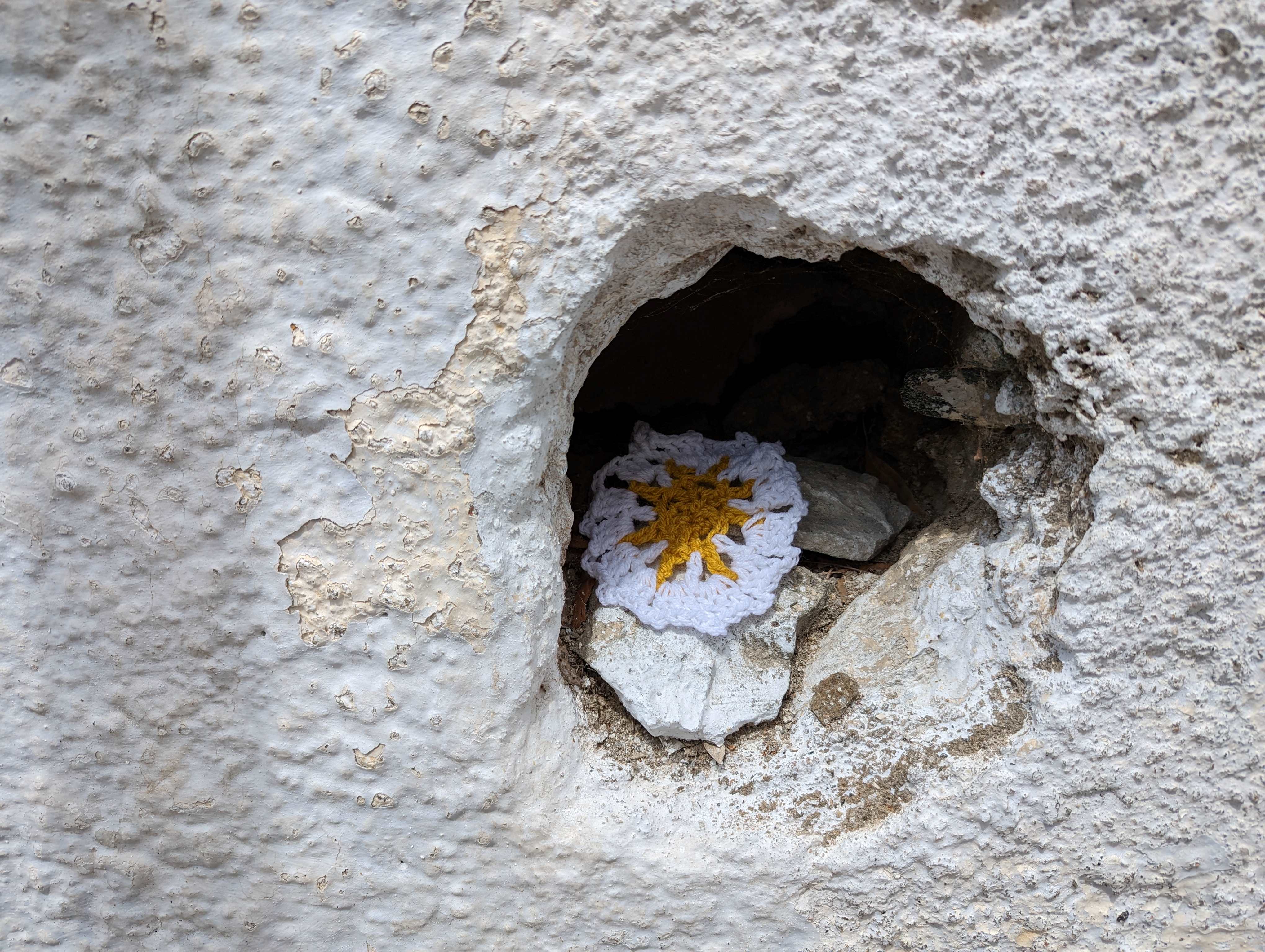
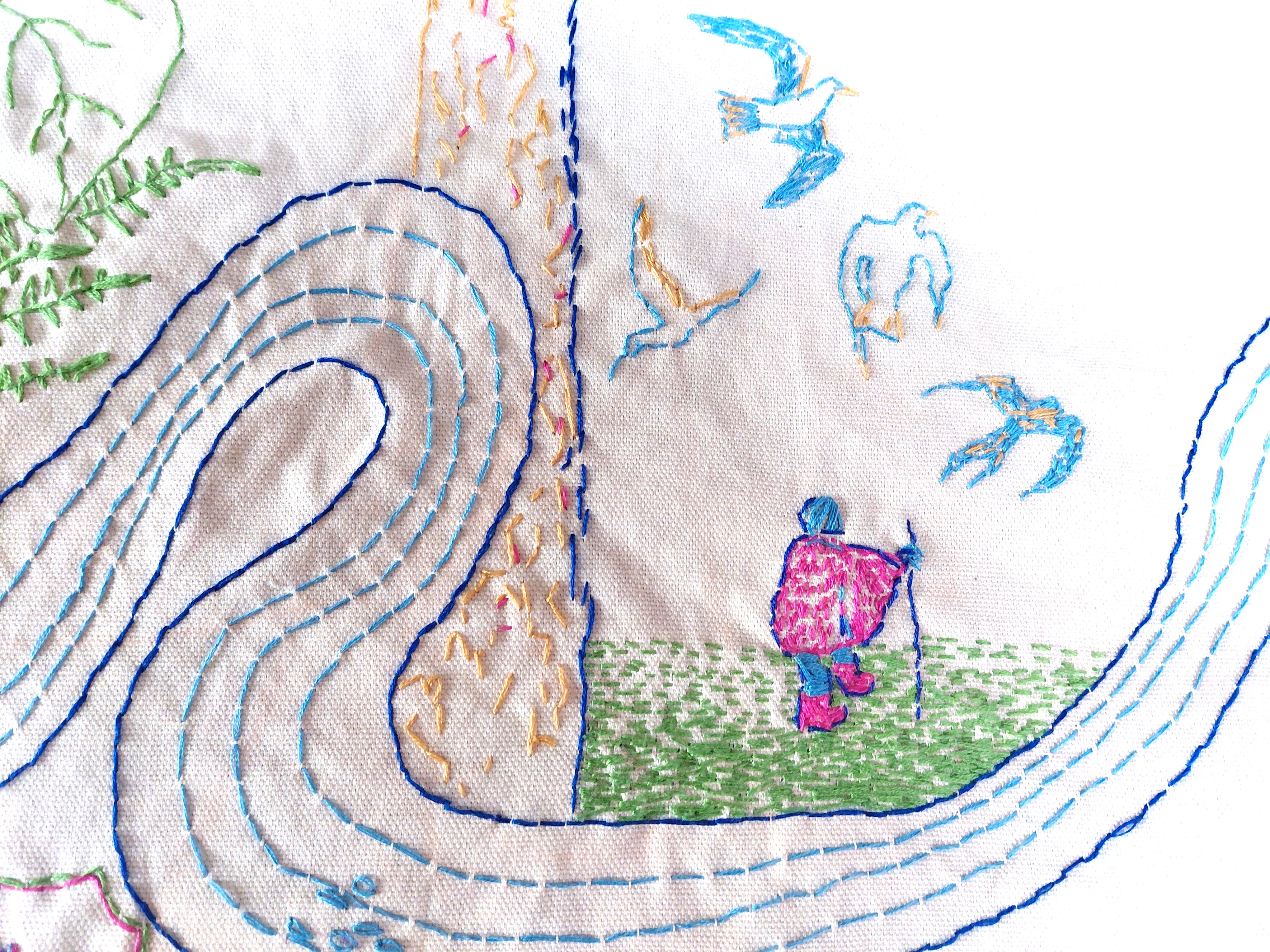
As I walk, I frequently make Wayside Shrines – a way of showing appreciation to place. I collect things as I walk, dropping them into my pocket, and when a suitable ‘altar’ presents itself, I assemble what seems right in order to make an offering. It may be that ity does not last long. Perhaps it becomes covered with snow or dry leaves, is taken apart by birds or animals, or simply blown away in the wind; it doesn’t matter. The gesture has already been made.

This zine of Wayside Shrines is available for £5 / €5.50. email tamsinlgrainger@gmail.com

Walking with Ants was a 2025 major project involving the creation of a new stitched art work for the Line(s) of Enquiry exhibition at Hardwick Gallery, Cheltenham and a pilgrimage. The Pilgrimage for the Small Things walked from Chepstow on the English-Welsh border, in the Forest of Dean, along the River Severn, and through the Cotswolds, arriving at the associatied symposium at the University of Gloucestershire.

All my pilgrimages and long-distance walking can be found on walkingwithoutadonkey.com. The role of the donkey through literature, historically and in pilgrimage can be found In Praise of the donkey.

The Granton Burn, from hill to sea

This newly stitched map (November 2025) shows the route of the Granton Burn, rising at the top of Corstorphine Hill and flowing down to ‘The Brick’ Beach in Granton and the Firth of Forth.

Imagine you are buried in the ground up to your armpits! This is no bird’s eye nor drone-view. The map foregrounds the river itself, looping above and below earth level, and features many examples of local wildlife, flora and fauna found in the Granton area, from a curlew and fox to ragwort and flat oyster shells. Together with the people and the soil itself, the Granton Burn and more-than-human lifeforms are who and what are indigenous to Granton and should be respected as such.

The embroidery above shows a moth, fox and traveller on foot

The map shows the Granton Burn rising at Corstorphine Hill near the Scott Tower. There are the ancient rocks of the area, together with the ring-shaped ‘cups’ which are of archaeological significance, Scots Pines, an example of woodland, and grassy hillside. As the land flattens, you can see someone walking, a figure reminiscent of the pilgrim in the VIII Cups tarot card designed by Pamela Colman Smith. I have stitched buildings which relied on water – a mill, Madelvic House (the sphinx from the home of United Wire and the Electric Car Company), Mushet’s iron works, the Northern Lighthouse Board building (1860s), and the iconic Granton gastower. The latter is also part of a suggested Granton coat of arms featuring the Granton Tortoise (story here) and the Latin script, ‘Ambulans ut Testudinis’ (Walking Like a Tortoise) referencing an earlier walking art project.

The map is embroidered in the colours found on the 1835 Bartholomew map and the 1867 Parish Johnston Plan, and the sea is stitched in different colours because, I have been told by many residents, it flowed sometimes pink, sometimes other hues according to which ink was being dumped in there by local company, A. B. Fleming.

The mouth of the Burn is that particular jagged shape as seen on the Edinburghshire map of 1914. It is unclear exactly where it is nowadays, but is likely to be close to the sewage pipe. Certainly the drains beyond the Sea Gate of Caroline Park frequently overflow, meaning that the Burn streams along the road.

Caroline Park Sea Gate near where the Granton Burn flows, Edinburgh

Other embellishments come from a variety of sources. The arrows can be found on the weather vane on top of the lighthouse, and the north-point of the compass from the Drainage Plan of the Edinburgh Leith and Suburbs map, 1867. And I measured the route in my human footsteps (the walk from hill to sea was approximately 9000 steps) which, according to the scale of this map, is 1:42.86.

The small boat on the right of the map is similar to Geddes’ on his Valley Section (see below) with two people sitting in it, though I have given one of them a fishing rod (an age-old local industry) and the other a pilgrim’s staff with a gourd on top. The 11th century St Margaret ferry used to take pilgrims across to Fife from South Queensferry so that they could continue to walk to St Andrews. Other sea routes, and the Esparto Grass which covers the harbour, refer to the intercontinental trade which exported coal, bricks and so on, and imported goods and people, including grass for the mills along the River Almond and the Water of Leith.

Granton (Royston) The Brick Beach, Edinburgh where the Granton Burn issues into the Firth of Forth and North Sea

I have wanted to walk alongside this burn for a long time because it is said that it forms the western definition of Granton itself. Although it was quite clear where the second-to-last section is, as it can be seen clearly flowing above ground in the Caroline Park Grounds, and other nearby parts are also visible in Forthquarter Park, the rest of it is now mostly hidden below buildings and there are no maps showing it as far as I can find. (It is noteable, however, that the ‘new’ Scottish Gas Headquarters flooded and the grass nearby is soggy all year round whatever the weather, so it is most likely that the Burn flows under those places.)

The owner of Caroline Park suggested that it rose at Corstorphine Hill, so, armed with my research from old maps and local anecdotes, I went there to look.

Here is the thin wiggly line of the Granton Burn from Caroline Park on this old map, but it stops just south of what is now Ferry Road. Notice that there is no Granton Harbour, so the map predates the 1830s

I believe that I found the route of the Granton Burn using my sense of the water I’d previously met, as well as the resources I’d compiled. I knew it’s energy in the same way that I have been practising knowing people’s energy (or chi) through my Shiatsu bodywork for over 30 years. I certainly found a small river, wetland plants, and banks along the line I’d tentatively drawn on my own map. 

I think a threshing mill used to be on this site before the housing estate was built. Granton, Edinburgh

As I slid along pavements slippery from the pouring rain, I came across the area named Granton Mill with which I was familiar from earlier forays. Of course! A mill would have needed water, I was on the right route!

This work of tracing the Burn gives it power and I felt it. I recognised its distinctive voice.

My route and the approximate route of the Granton Burn, Edinburgh

If rivers are built over and erased from maps, does their power cease?

This map collapses time. It reinstates the river above ground, and juxtaposes past and present. My walking the Burn in some way also restores the original boundary. For once, it’s not roads or random lines, not politicians making the decision, but the existence of the Burn itself which decides where Granton begins and ends – a gentler, more natural way that harks back to earlier times.

All the time I walked and stitched, I was in dialogue with the Burn. It, in turn, reinforced the original researched route of the Granton Boundary that I had traced when preparing for my first drawn/painted map (above). This was a psychogeographical pilgrimage, a walk that was directed by the river itself, taking me through the landscape on a single journey via a previously unknown path, with clear starting and ending points.

It was as if my footsteps drew the Burn above ground. My stitches made it manifest in fabric, in the tradition of map makers of many sorts from the past. I’m thinking of the Sophia Mason 1802 map of England and Wales that’s in the Library of Congress in the US, the cross-stitched 1940s maps made by children, the Gough Map on vellum, or the circular TO Mapa Mundi. This is a way of stitching time, fixing one person’s view of a place on a specific date.

Where can I see The Granton Burn textile map?

The Granton Burn map was made in response to an invitation to give a lecture for the Scottish Historic Buildings Trust (12 November 2025) as part of their Autumn / Winter series, alongside Dr Jonathan Gardner (an authority on Waste Heritage) at Riddles Court in Edinburgh. The map is currently on show at Riddles Court, alongside the stained glass window of Patrick Geddes’ Valley Section. Thanks to Ed Hollis for the initial invitation and the excuse to make the work and artwork for the event.

Thanks

This project benefitted from the help of many, in particular Scott Macintosh from the Friends of Corstorphine Hill, Catharine Ward Thompson and Suzanne Ewing, both from The University of Edinburgh College of Art, who and shared their time and valuable resources.

I have made this map for, and dedicate it to, the community of Granton in all their variety and form, past and present, amongst whom I live.

Tinos and Kionia

May 2023

In this blog

T1A walk to Kionia, Poseidon Sanctuary, walk from Kionia to Chora (Tinos town).

Dovcot of traditional design outside Ktikados, Tinos, Greece

There are a wide range of walks around the Greek island of Tinos. Look out for wild goats, the most stunning variety of local flowers, and unexpected chapels with cool interiors, often with murals and other atmospheric images. On the whole the paths are quite well signposted, and the ones I made travelled through varied scenery, almost all taking in at least one of the famous dovecots. There are no high mountains, but there is some climbing and descending. Do look out for trails that can be dusty from lack of rain and slippery, also narrow and overgrown ones through lack of clearing, however, none of the ones I tried were impassable.

T1A trail – flora, Ktikados, chapel, and geology

I started the T1 trail at the Panagia Shrine, Chora, Tinos, Greece

It was a wonderful day which took me steeply out of the city, hard by the Panagia shrine (Holy Monastery of  Virgin Mary Evangelistria) and an olive grove, past hens, goats and ladybirds in the fields, and a vast array of wild plants: pink and white oleander, fig trees, sea lavender, and a giant cacti replete with prickly pears. I meandered along crazy-paving paths with spectacular views of the sea, across slopes with small churches, and amongst giant geological specimens.

Oleander, sea lavender and prickly pears along the T1 trail, Tinos, Greece

Geological map of Tinos from a presentation made as part of the Artist’s Residency, The Inherited Earth, part of the Fe26 project a collective research program by the NWMW NPO team 2023

There was a small church open for me to visit. Co-ordinates 37°33’35.8″N 25°09’34.2″E

I stopped in the small village of Ktikados for a break, enjoying melizanosalata (baba ganoush / aubergine dip) and a cup of tea.

View from the Drosia Taverna, Ktikados, Tinos, Greece

This walk comes highly recommended.

Great views of Exomvourgo (hill), Tinos, Greece
My offerings to the Panagia on the T1 trail, Tinos Greece
On the T1 trail

Eventually I descended to the beach in Kionia (see below) and had a refreshing swim.

The Poseidon Sanctuary

Along the boardwalks I was delighted to discover, by chance, the Poseidon Sanctuary which, in its heyday, attracted pilgrims from beyond the borders of the Greece, as far away as Italy, Asia Minor, and Africa.

The Poseidon Sanctuary is believed to date from the 4th century or earlier, placing it in the Hellenistic Period. Dedicated to the sea nymph Aphrite (Amphitriti) and Poseidon, god of the sea, it was a place where visitors would come to clean and purify themselves. As a complementary therapist, I was particularly interested in the site of the former therapy rooms (above left).

I gave Shiatsu to one of the artists I met, on the beach below this typical church while a kitten played with my rucksack, Kionia, Tinos, Greece.

I returned to Chora from Kionia, a walk of 40 plus minutes, along the main coastal road. Careful as there is no pavement in parts!

During my stay on Tinos, I crocheted wild flowers that I found as I walked and offered them in little niches by way of thanks for my experience on the island.

The title photo showing the peacocks, is of a plaque outside the Panagia shrine in Chora town. All images are my own.

Links

See also my blog: Tinos and Chora

Trails Tinos

Kirki Projects – about Tinos and artist’s residency

Map and walks by Desired landscapes

Poseidon Sanctuary on Secret Tinos site

Tinos and Chora town

May 2023

Introduction

I thought I might take a break after teaching Shiatsu and giving supervision in Athens, so I looked up islands which were easy to get to from the capital and typed the word ‘pilgrimage’ into the search engine as a starting point. Tinos came up immediately. It’s not only a vital place of pilgrimage for Greek people, but it’s also famous for its dovecots (see photo at the end of this blog), which I have been studying for a few years now. To Tinos I had to go!

Map of Greece showing the location of Tinos in relationship to Athens

A sacred island of pilgrimage, Tinos is one of the Cyclades, and has a deep history that is crucial to Greece herself. Since the 7th century, a feast has taken place there in honour of the Dormition of the Virgin Mary (her passing from the earthly state). Then, in 1823, two years after the Greek War of Independence had started, a nun called Pelagia found the Holy icon of the Annunciation of the Panagia in a field. Considered a divine omen for the Greek Revolution, a shrine / church was founded to coincide with the agricultural calendar on the island, and a festival was established on 15 August to which women and men flock each year.

In the first [of several chapels at the Shrine] is a holy spring, where pilgrims collect water which has powers of fertility and cures sickness. According to tradition, the well was found during the excavations in search of the icon. The well was dry. On the day the church’s cornerstone was laid, it filled up with water. The source is seen as a miracle, and the chapel of the holy water is called the “Life-Giving Spring.”

Evy Johanne Haaland

Evy Johanne Haaland, a Norwegian researcher (Dr/PhD, history) and government scholar, writes here about Palagia, and the ritual that women through the ages have performed – climbing up the steep hill from the sea to the shrine on their hands and knees, sometimes with a child on their back.

Greek women are strong and active persons …, thus paralleling the divine Panagia.

Evy Johanne Haaland

Shrine to the Panagia, Chora, Tinos, Greece

Practicalities

Chora is the main town of the island, also known as Tinos, and is where the ferry arrives and leaves from Athens. I took the ferry to and from Rafina (not far from Athens – take the inexpensive KTEL bus).

Old photo of Chora, Tinos, Greece
Resident pelican, Chora, Tinos, Greece

The town is well stocked and bustling with pretty, narrow streets, a long waterfront (including the port) and steep climbs to the Panagia shrine.

There is a good bus service across the island, but NOT on Sundays and I didn’t find it easy to get information about when they run.

Café

Recommended book café: Antilalos, Fr. Paximadi & Afentouli, 84200 Chora, Tinos. The owner and other staff were so very kind to me. I arrived on a Sunday and had booked an air bnb at the opposite end of the island – too far even for me to walk in one afternoon (though I walked from Pyrgos to Panormos which was wonderful). They made phone calls on my behalf and really helped me out. There were no taxis because, of course it was some sort of festival and so everyone was celebrating with family. I started to walk, but it was far too hot at midday, so in the end they arranged for a taxi driver they knew to come on his day off from another village and pick me up. He took me to Pyrgos – more than three quarters of the way there, and I was really grateful.

Antilalos Café in Chora, Tinos, Greece

Accomodation

I stayed at the Pension Selenti which I would recommend.

Evening view of Chora town from the Pension Selenti, Tinos, Greece

Old Weaving School, Chora

Zarifios Vocational School (Βιοτεχνική Σχολή Τήνου Υφαντήριο) is a legacy of the Zarifis family originating from Constantinople. Since 1898, Zarifios School has been a reminder of the gratitude of the family of banker Nikolaos Zarifis towards the governess of his children, who took them to the safe environment of Tenos (sic), when riots broke out in the Constantinople. The school emphasized in the traditional weaving art supporting women and society in adverse conditions. Today, 200 years later, it still continues to have a presence by supporting the School and textile workshops.” Description from thehouse.gr website

Archaeological Museum

The Archaeological Museum is worth a visit.

Built in the early 60s by the architect Charalambos Bouras, the Archaeological Museum of Tinos contains finds from Chora, the main town, as well as the hill of Exombourgo, local villages, and the Sanctuary of Poseidon. I particularly enjoyed the little courtyard with its bodyless legs and lace-like mosaic.

Archaeological Museum, Chora, Tinos, Greece

Artist’s Residency and Maria Valela

There was an Artist’s Residency taking place on the island when I was there, and I was particularly pleased to meet Maria Valela, a weaver, who gave an inspiring demonstration at the Old Weaving School in Chora, and invited me to accompany her to a local women’s knitting and weaving group that she was visiting. In return I offered her Shiatsu.

Maria Valela, weaver, artist

“The island is widely recognised for its marble tradition and was home to some of the most widely revered Greek artists of the 19th and 20th centuries.” from Kirki Projects page

Various photos of Maria and the knitting / crochet group, Chora, Tinos, Greece

The Inherited Earth artist residency programme was part of the Fe26 project a collective research program by the NWMW NPO team 2023. “The Fe26 project brings together an interdisciplinary group of people to exchange knowledge and practices around metal as matter, material, and object in conjunction with locus, crafts and identity. In this aspect, the NWMW team has envisioned along with curator Christos Artemis “The inherited earth” Fe26 residency.” ARTrabbit.com

Links

The second in this series of blogs about Tinos is Tinos and Kionia

Map and walks by Desired landscapes

Secret Tinos blog

Typical dovecot, Tinos, Greece

Girona mini-pilgrimage

This was the first of three mini-pilgrimages offered to delegates of the international meeting ‘Walking Art and Relational Geographies’ and others in Girona, Cataluña. 6 July 2022

We met at the foot of the steps of the Catedral de Girona, a traditional location for the start of a pilgrimage. As we waited for the group to assemble, I asked, do you see any pilgrim signs?

Catedral de Girona, Cataluna

The statues at the front of the building are inset with the shell motif behind them – the iconic scallop being the emblem which pilgrims on their way to Santiago de Compostela sported.

Catedral de Girona, Cataluna

We searched for the yellow arrows which are used to indicate the path; instead we were surrounded by the yellow ribboned loops of the Cataluñan Independence movement.

Sign of the Cataluñan Independence Movement on the pilgrim path

We were a group of approximately twelve, and started at 9pm when it was a little cooler (sunset 21.20).

The title of my walking project here is Separation and Unity. I am aware of the political issues that concern Scotland and Cataluña, in their debates and attempts at achieving autonomy from England and Spain respectively.

We performed some simple experiential exercises: huddling close, noting that we were united in our interest in walking, turning outwards to acknowledge those people around us who were not in our group or who were in groups of their own.

We did some chi gung exercises to ground and centre ourselves. It became clear that we needed to take more space in order to move individually. We were moving together, separately, and experimenting with breathing in unison.

Through Girona’s city walls

Last week, I walked part of the Cami Sant Jaume alone, as a secular pilgrimage. I was on the path with others – dog walkers, cyclists, 2 hikers. Walking part of this age-old tradition, I knew there were others who went before me and who will come after.

Now our group traced a pilgrim path through the archway made by the city walls and, despite there being no external signs to guide us, we headed downhill to the river. We left the heavy, archetypal building behind and walked in silence, in single-file, with the thick, steep walls with religious iconography on either side.

Walking in silence, Girona, Cataluna

As we walked down Reí Marti, we paid attention to our connection with the elements – the paved surfaces under our feet, the air and water – indivisible.

Also to the birds we could hear but not always see, the insects we only knew were there if we looked very carefully or when they bit us, and the other folk milling around the city. We were a mass moving inside and outside the city walls.

We were aware of each other walking together. Our intention was clear.

Graffiti, Girona, Cataluna

As the streets opened out, we turned left taking Carrer del Bellaire and heading straight for the river, passing once again underneath the train line which ran overhead. By now we were amongst modern architectural constructs.

Column of the History of Girona, Cataluna

Around the corner on the left was the Column of the History of Girona, a pillar of stone whose four sides depicted images and text saying this ancient settlement dates back to the Neolithic.

Column of the History of Girona, Cataluna

The we arrived at the River Onyar and the Pont (bridge) de Pedret which formed a crossroads where the first Cami de Sant Jaume and other route signs were located.

River Onyar, Girona, Cataluna
Signpost for the pilgrimage Camino, Girona, Cataluna
We looked back at Cathedral
There are messages of separation: ‘Libertat’, ‘Bienvenue a la République de Catalogne’ alongside the Vies Verdes. This is the green cycling / walking ‘carrilet’ route described as ‘a modest narrow guage railway’ I took out of the city last week

We glimpsed the La Devesa Park where we walked yesterday.

As I walked out of Girona, I moved from the urban environment, the edge lands where people were growing crops in their hueltas / allotments, and then out of town, walking through the landscape between city and towns. There were people threading these urban places together by walking between them to work and school.

I was carrying my clothes and sleeping mat with me, crossing the country, from Osona to La Garrotxa and into the Barcelona region.  

We completed our Girona mini-pilgrimage at the foot of the steps of Basílica de Sant Feliu, a familiar way to end a pilgrimage. Close by is the statue of la Lleona (lioness) whose bottom/ass you are invited to kiss, an 11th century folk tradition.

Basílica de Sant Feliu
La Llona

Further mini pilgrimages took place in Olot and Vic with participants of the Walking Arts Encounters.

Soundscape by Ralph Hoyte Temple of Hermes