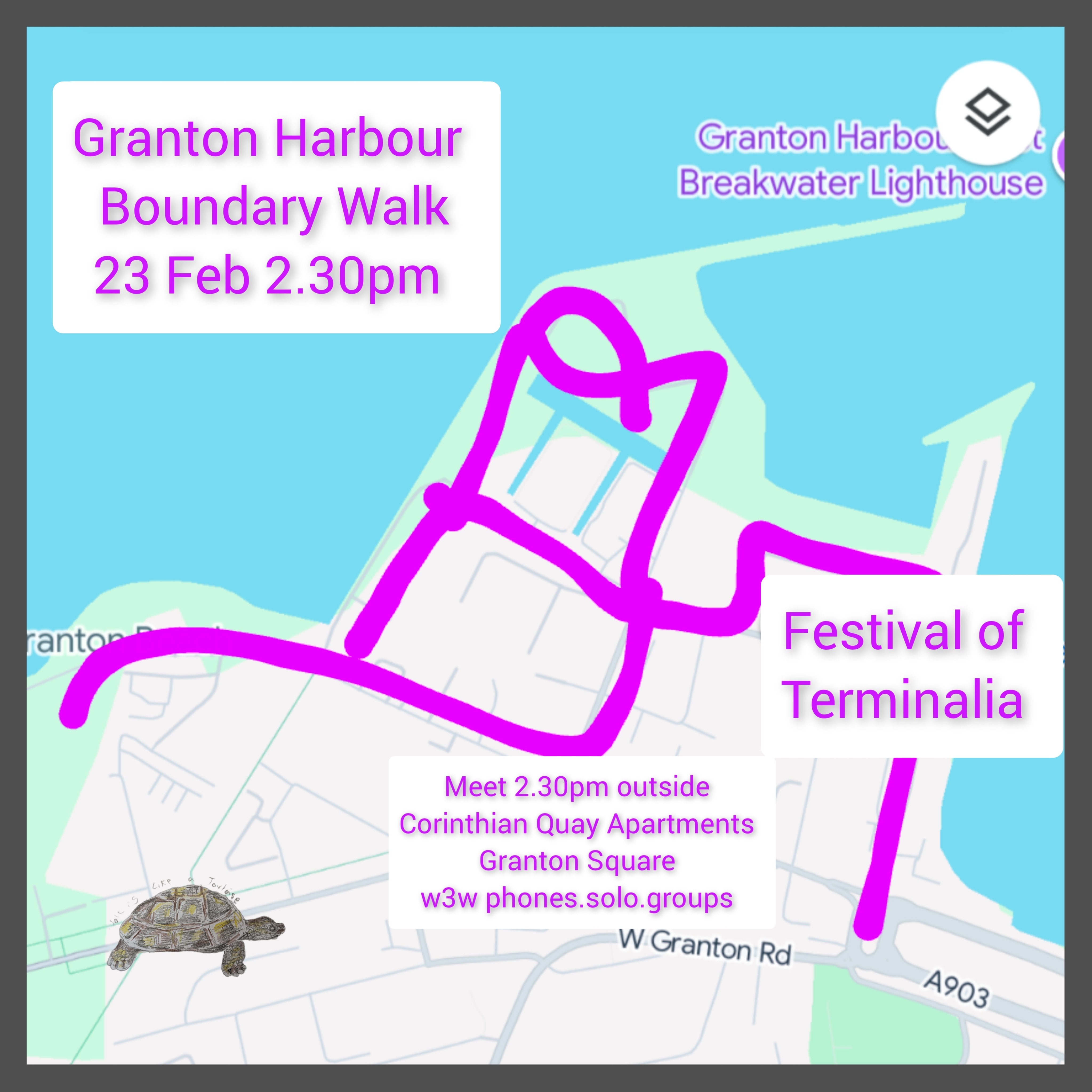
Please join us on a walk around Granton Harbour on Sunday 23rd February 2025 2.30-4pm to celebrate the Festival of Terminalia with history, art, nature, and community stories.
Explore the boundary of Granton Harbour: an urban walk on pavements and waste ground – past the old Gunpowder Store and site of the Ice House which served the fishing industries of Newhaven and Granton in 1950s, along the old railway lines and discover the original Granton Station, look out across the Firth of Forth and imagine the Esparto Grass boats coming in from the south of Spain and North Africa, check out the latest housing developments, and walk ‘The Wall‘.
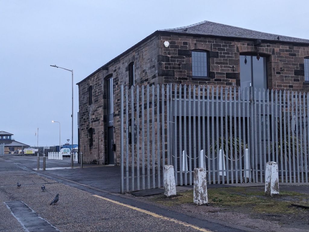
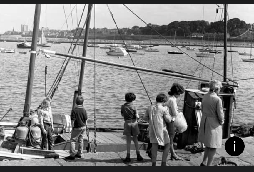
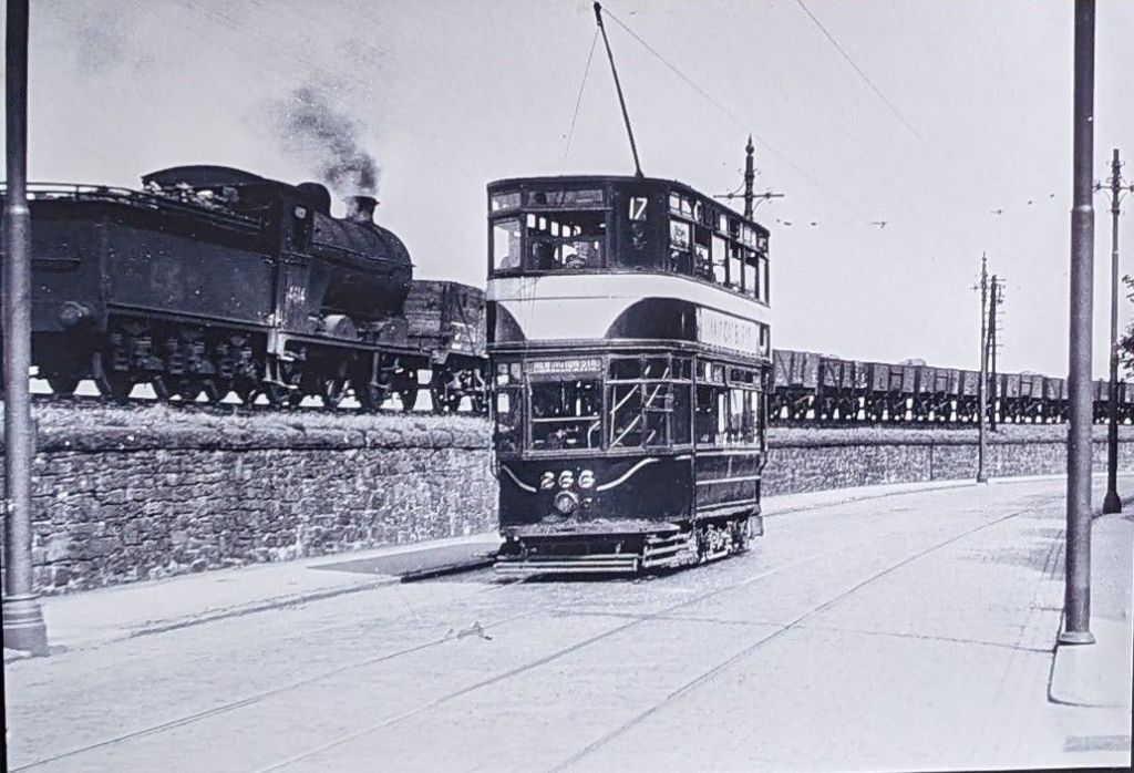
Above: On the left -The Old Gunpowder Store (now Corinthian Yacht Club), middle – an old photo of the harbour from Lochinvar Drive, right – an old tram and the train which used to run along past Wardie Bay in days gone by.
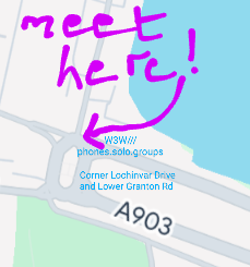
Meet at 2.30pm at the corner of Lochinvar Drive and Lower Granton Road, outside the Corinthian Quay Apartments (EH5 1GL W3W phones.solo.groups) on Granton Square. Buggies, dogs and wheelchairs welcome. It is hoped that we can offer Polish and Arabic translations if required. It can be cold on the northern side of the harbour, so please wear warm clothes and sensible shoes. Bring water or a hot drink. Chocolate provided!
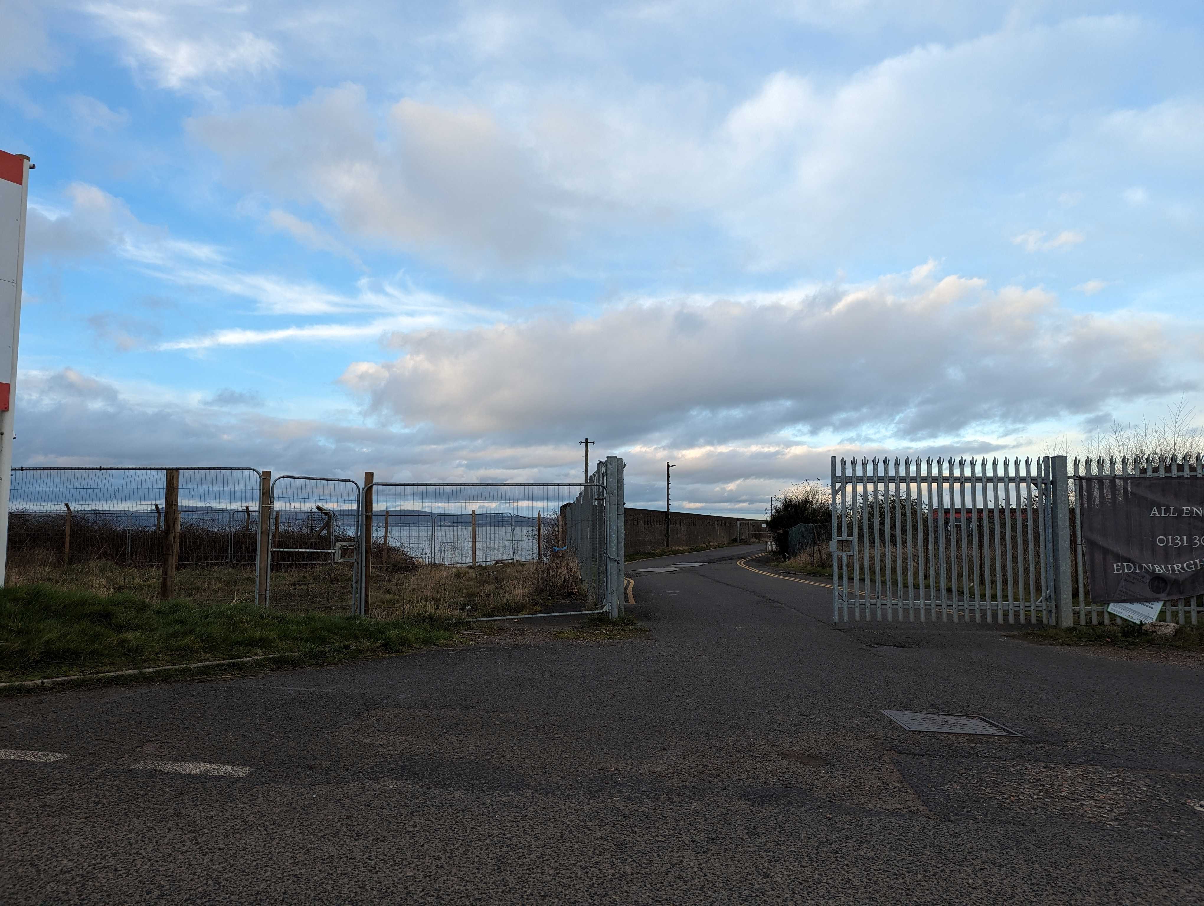
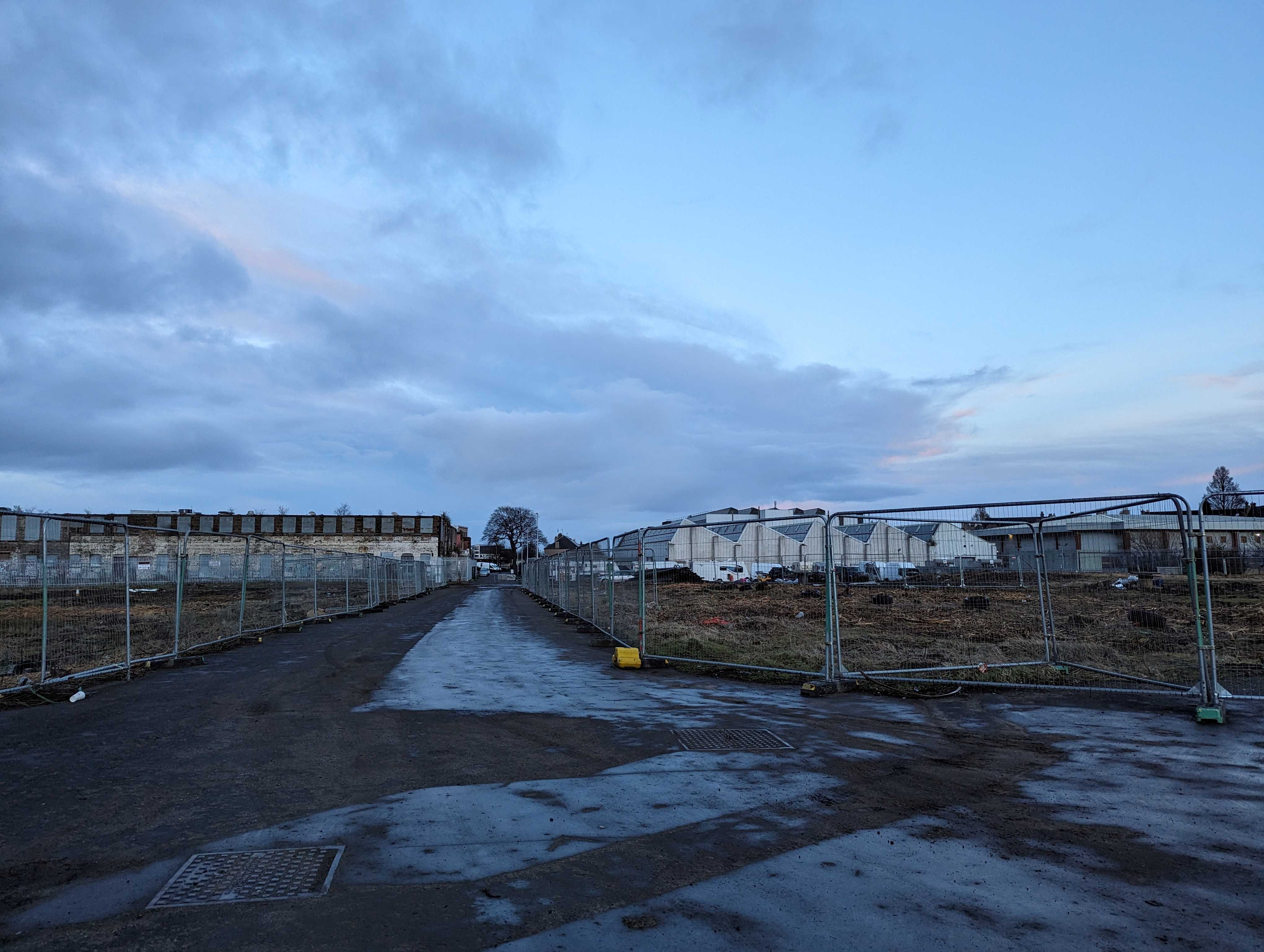
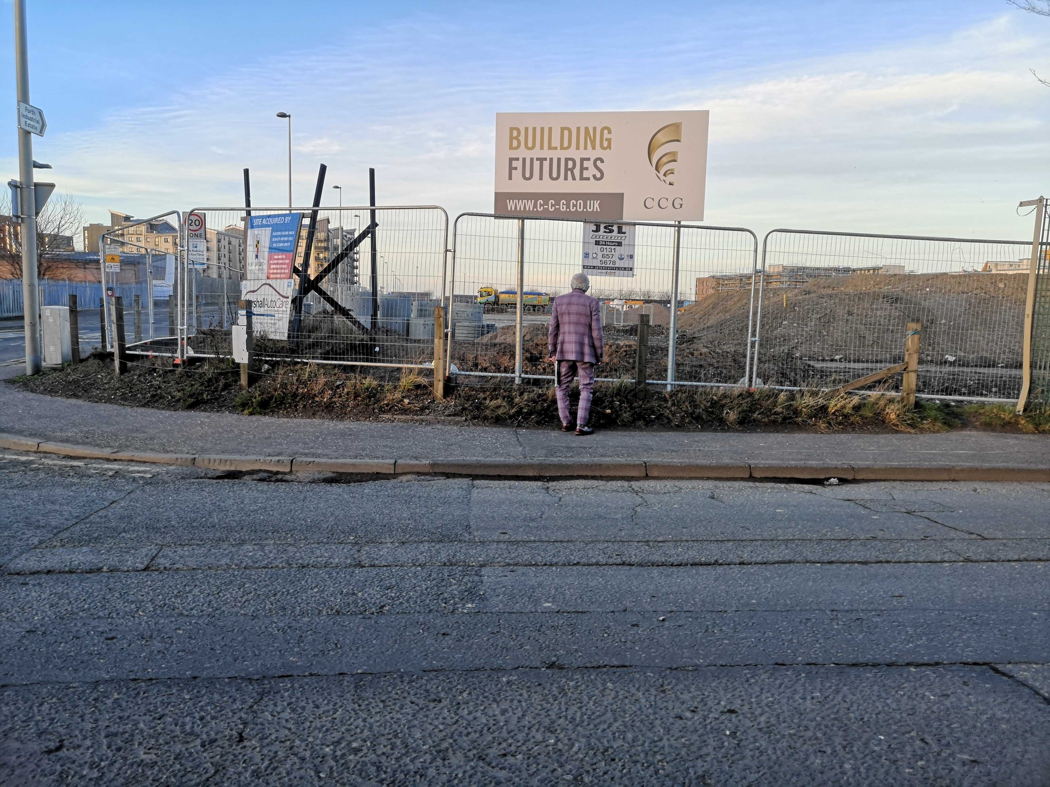
Sorry about the poor quality , but here is the meeting point
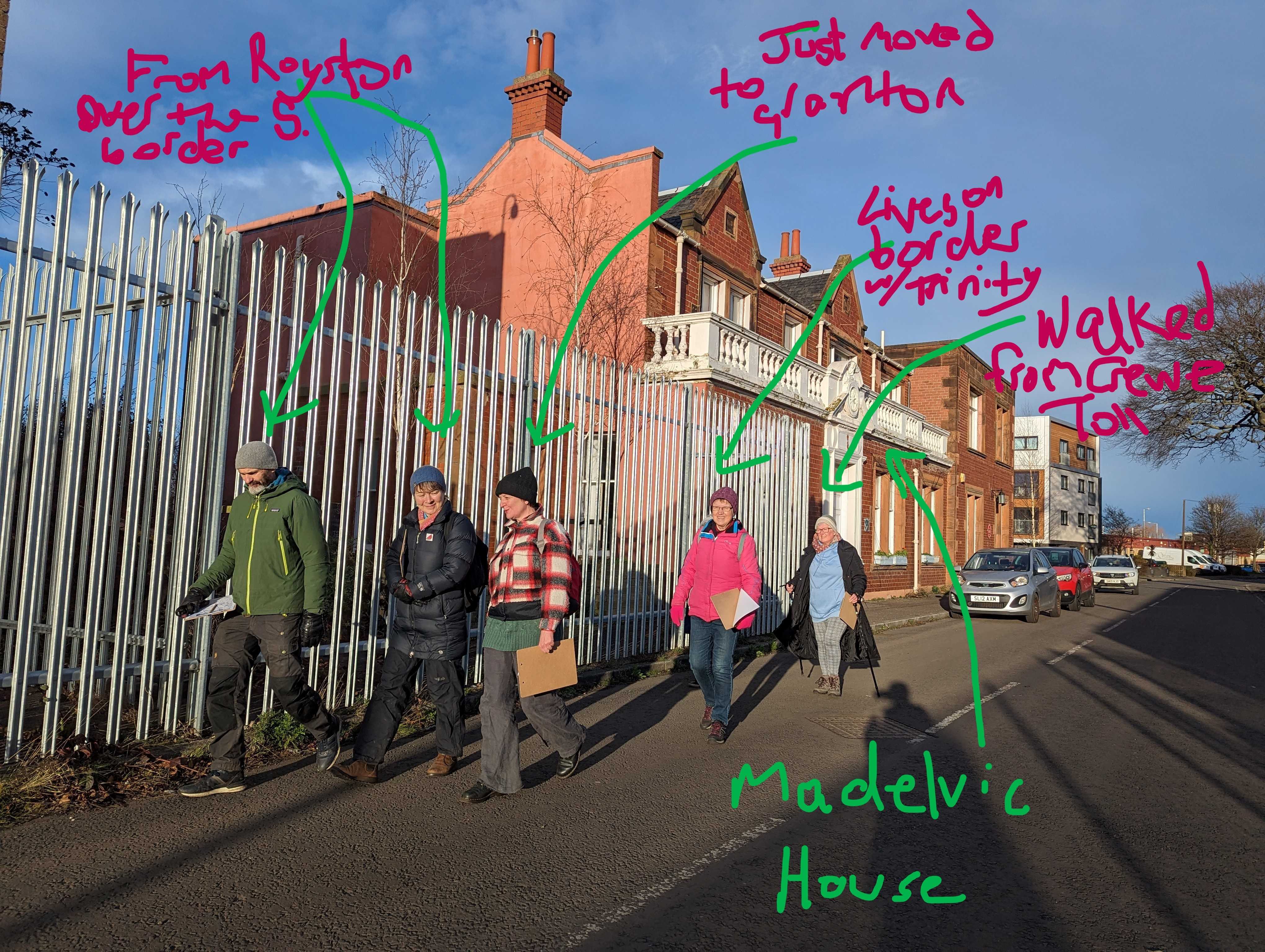
A community walk from the Granton:hub, Madelvic House w3w: wished.visit.silver
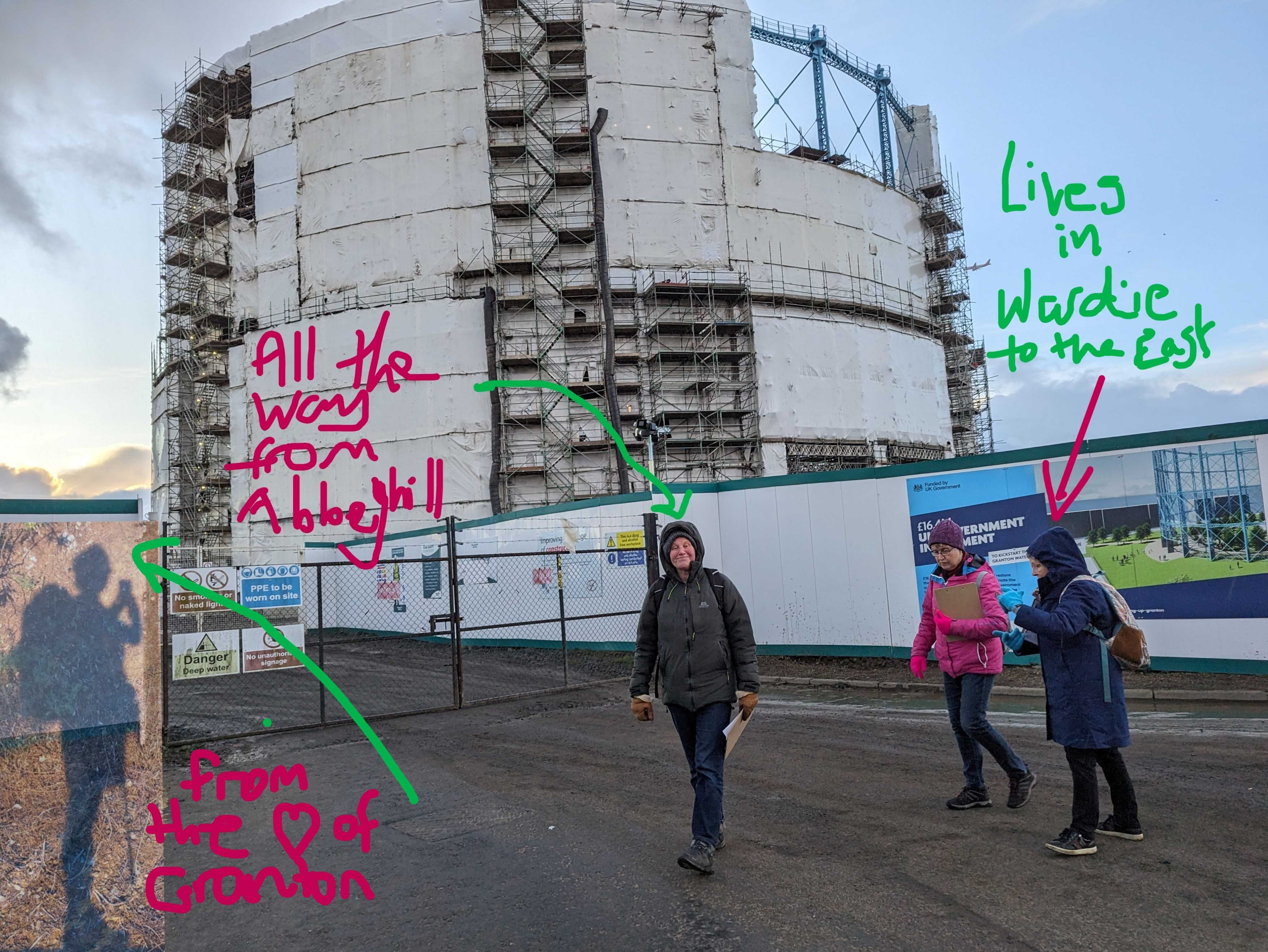
Captions for the images above: Left – The group, some from inside, some outside the Granton Boundary; Right – The group, checking out the wrapped-up Granton Gasholder, building site for new housing
At the edges of pavements, the walls of dilapidated buildings, the join between the land and the sea, and between homed and homeless, we wandered to mark the Festival of Terminalia on 23 February 2024.
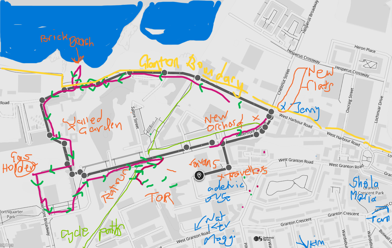
Maps annotated by group members
We walked a route familiar to some and unfamiliar to others, according to a path previously visited 4 months earlier in order to make comparisons. Mapping as we went, we strayed off that path occasionally, moved across the boundary several times when the sea or a plant drew us, and noted changes wrought in the natural and urban landscape over such a short time.
Captions for above photos: Left – Electric Car Factory. Planning permission has been gained for housing. Middle – Where Granton Harbour meets the Brick (Granton or Royston) Beach at the Western Breakwater. Right – Sheila and Margaret.
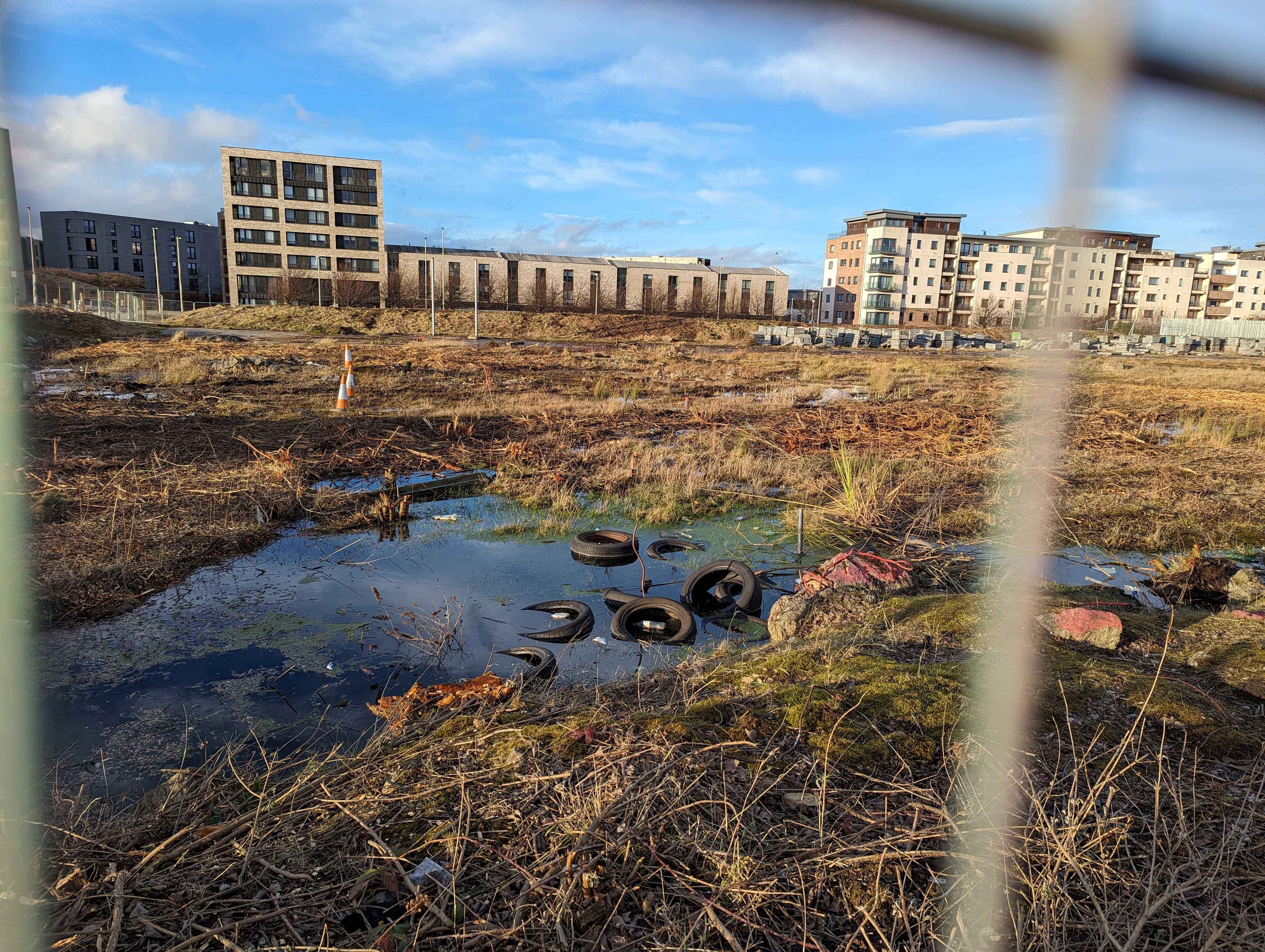
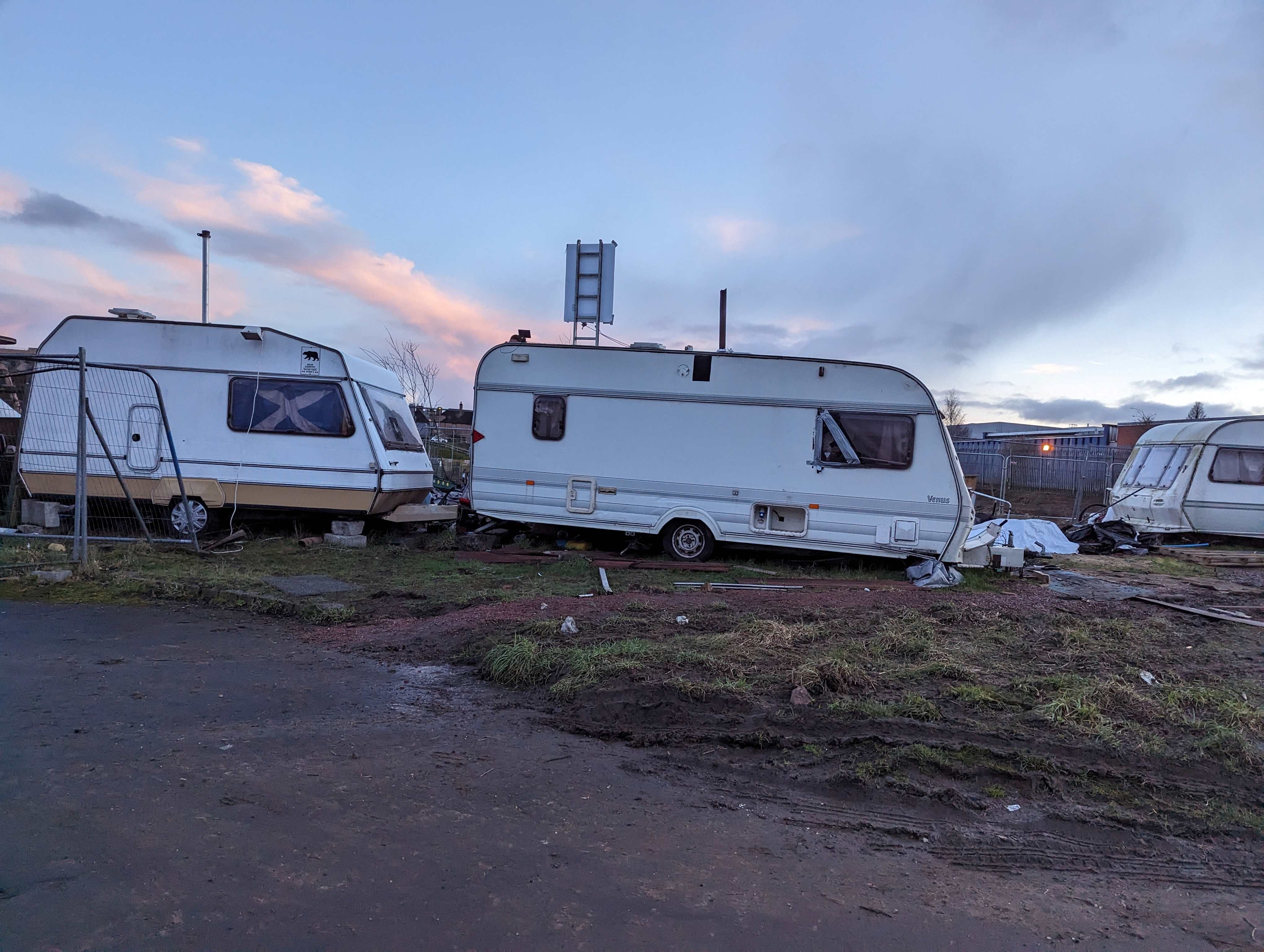
Leaving the Granton:hub / Madelvic House, we started off through the wasteland area behind, past the old Electric Car Factory which was, unusually, open. We passed the travellers’ community who were building a big fire of tyres and other rubbish; the caravans housing the community which has found its way here in 1s and 2s over the last 5 years (maybe), surrounded by dismembered trees; a couple of renegade trailers where men were working – one a local barber who was known to one of our party so we stopped for a chat – between fences newly erected and ground scraped clear of its soil.
Nat pointed out the copse of silver birch which have been cordoned off for keeping, the result of our extensive lobbying of the developers. Here, an art repository is planned by the National Galleries of Scotland, way down the line. It was also the site of our community orchard (at the Tor), once upon a time.
Captions for above photos: Wasteland area behind Madelvic House where people and more-than-humans live, soon to be developed into an Arts Centre
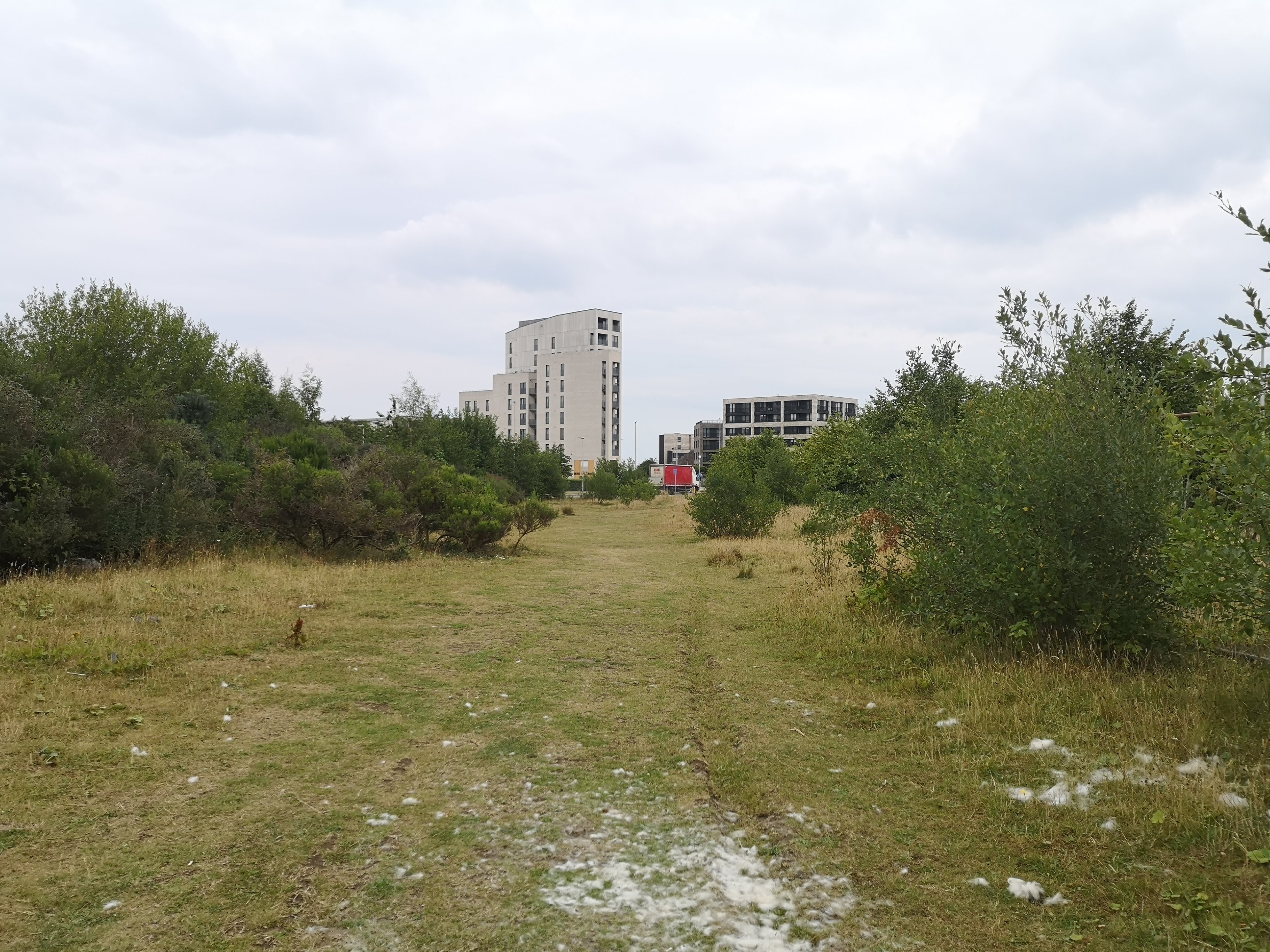
We skirted ‘The Rabbit Run’ closely bordered by towering new blocks and also threatened to be raised to the ground, and turned down towards the sea along Waterfront Avenue – created, named and planned to be this wide, so we are told, to accommodate the trams, though there is, thankfully, no sign of them as yet.
Waterfront AvenueRabbit Run
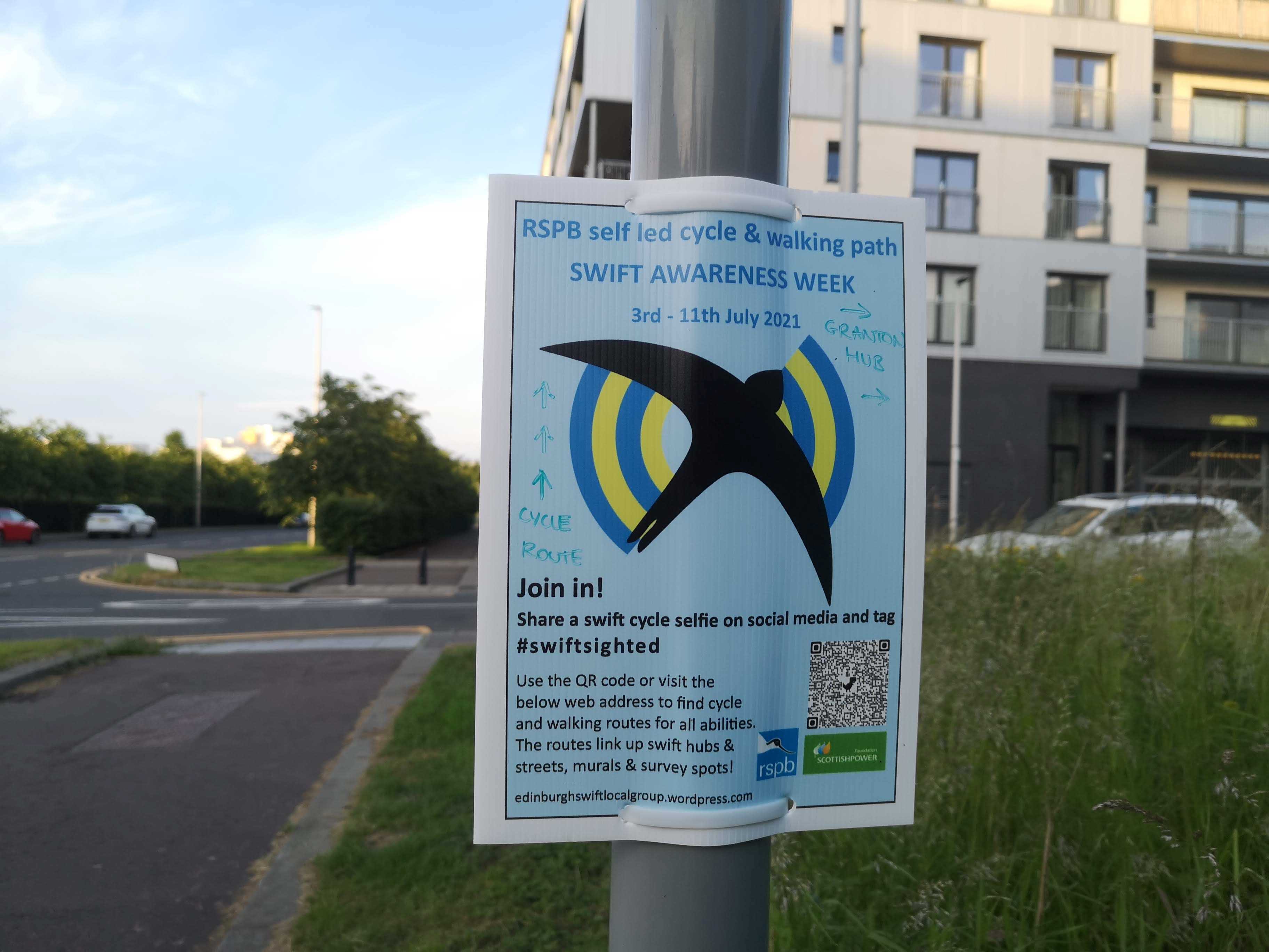
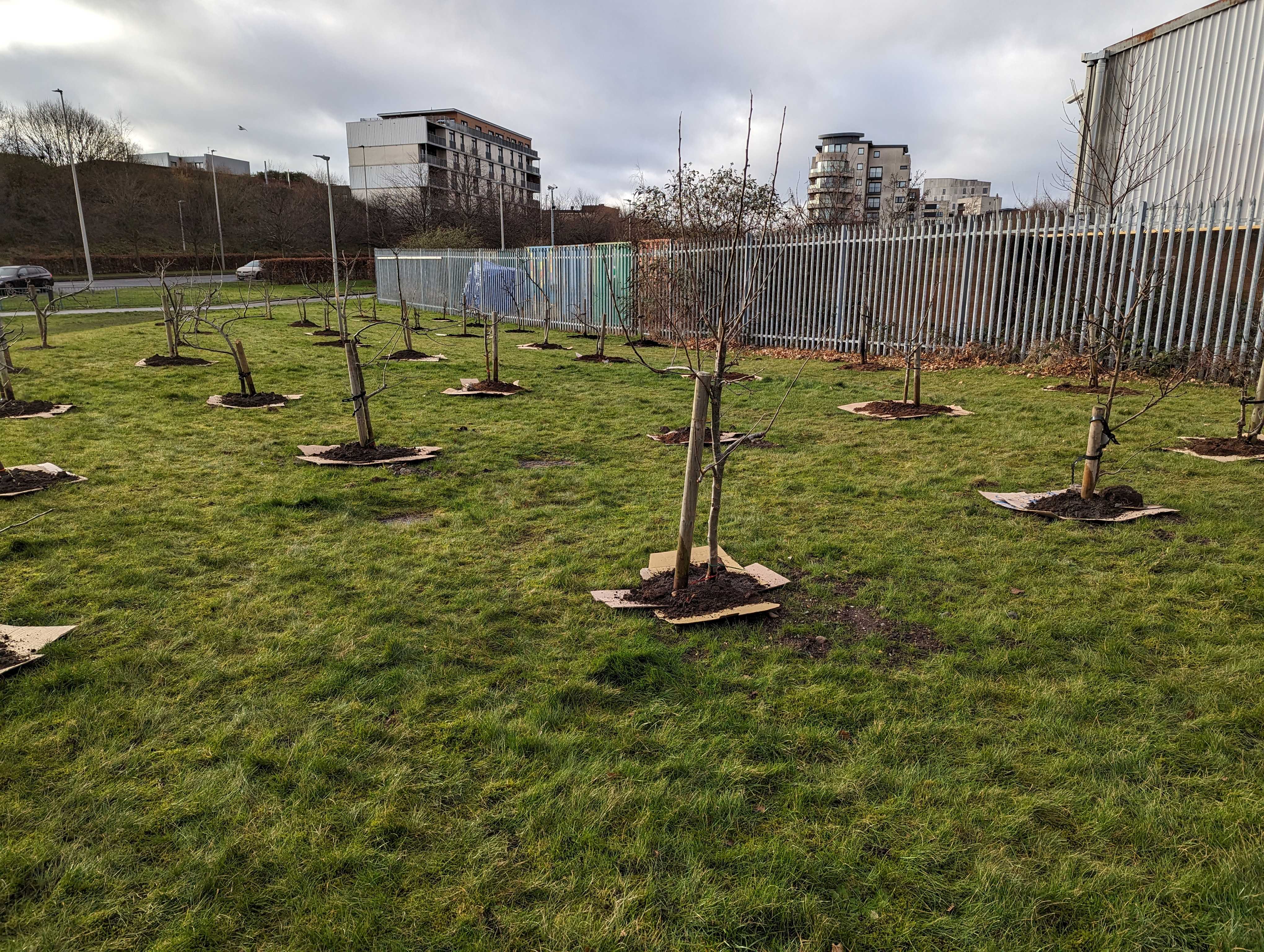
Stories were told as we hovered at the corner: of the swift boxes often erected on lamp posts next to the Swift business sign (coincidence); of Jenny’s tenacity – spending an officially homeless year visiting the housing association and getting to know them until she was allocated an apartment in the community ahead of us; and of the day we planted the orchard (from up the road) on the grassy bank by more newbies to the area, The Pianodrome.
“With the dog, we went to the rabbit run, behind that Beech Hedge; I know it will all dramatically change very soon.”
Nat
Captions for above photos: Left – Swift poster, Middle – Where Jenny lives now (before the block was built). Right – The new orchard at The Pianodrome
Now we were on the far northern boundary of both Edinburgh as a whole and Granton, whose territory we were beating the bounds of. Many of us bemoaned the lack of access to the Brick Beach, but then a desire path was spotted which turned out to be a thoroughfare. Jubilation!
“for a while I’ve not been able to get through (the wasteland between West Shore Rd and the sea / brick beach) That’s been irritating, having that little cut through blocked off. That used to be on my route so I could get a seat and watch the sea for a while, undisturbed. Tonight we were able to walk through for the first time in ages.”
Kev
The day was at its evening cusp and it was darkling, so we continued along West Harbour Road which becomes West Shore Road, past the new-to-the-area Edinburgh Palette (what we hope will be new artist studios and home for a weekend Street festival), and turned left onto the Speirs Bruce Way (more stories of Antarctic adventures and explorers are linked to this place). We went hard by what’s left of Granton Castle where the Walled Garden is hidden (a citizen success story as it was saved from developers and now houses countless allotments, natural dye- and community soup-makers), with the Social Bite village opposite.
Captions for photos above: Two A-Z maps of Granton – 2004 on the left showing one gas holder, and 1999 on the right showing three as there used to be
I’m new to the area and walking is a way of feeling the local, recent history
Jenny
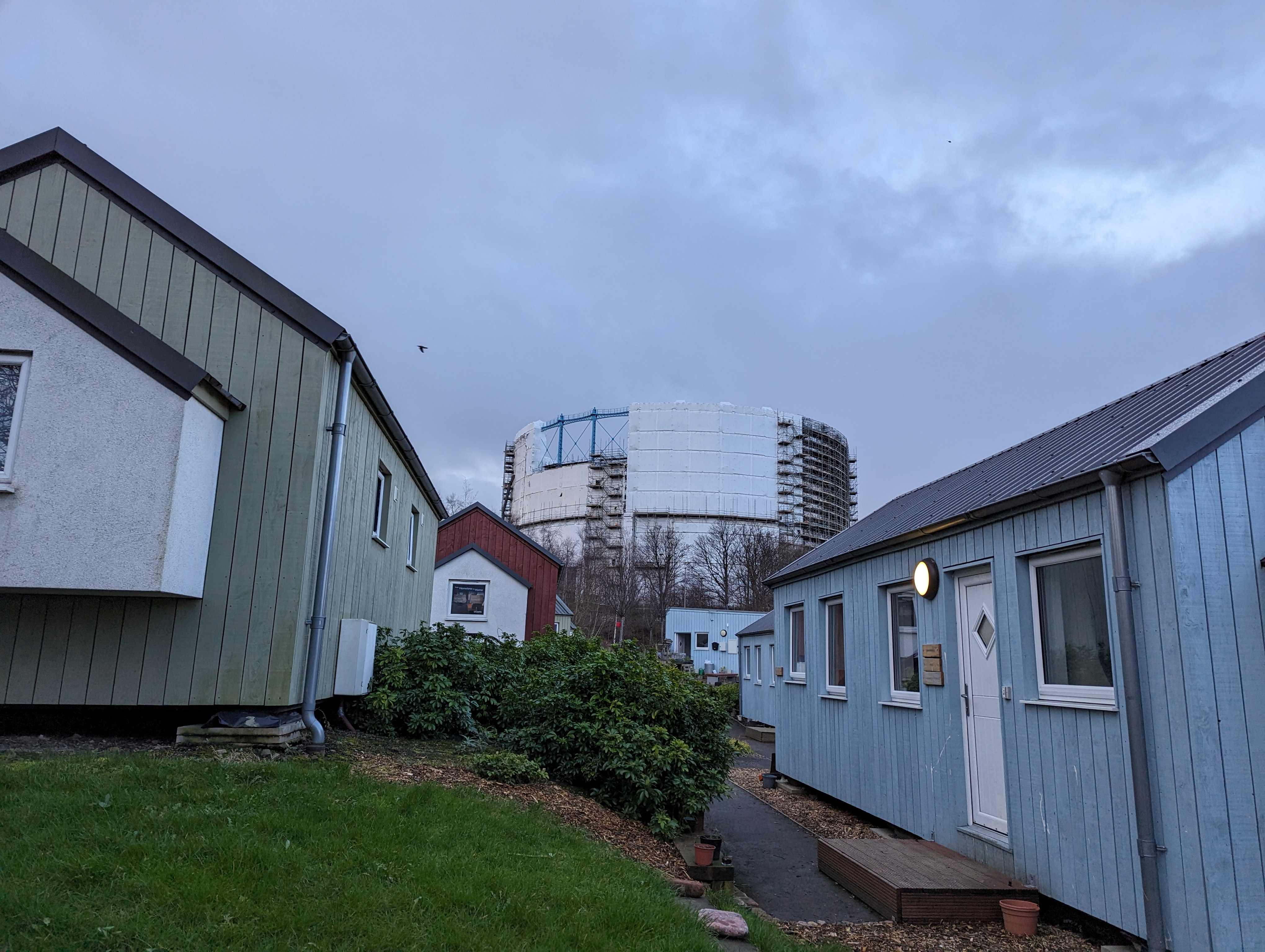
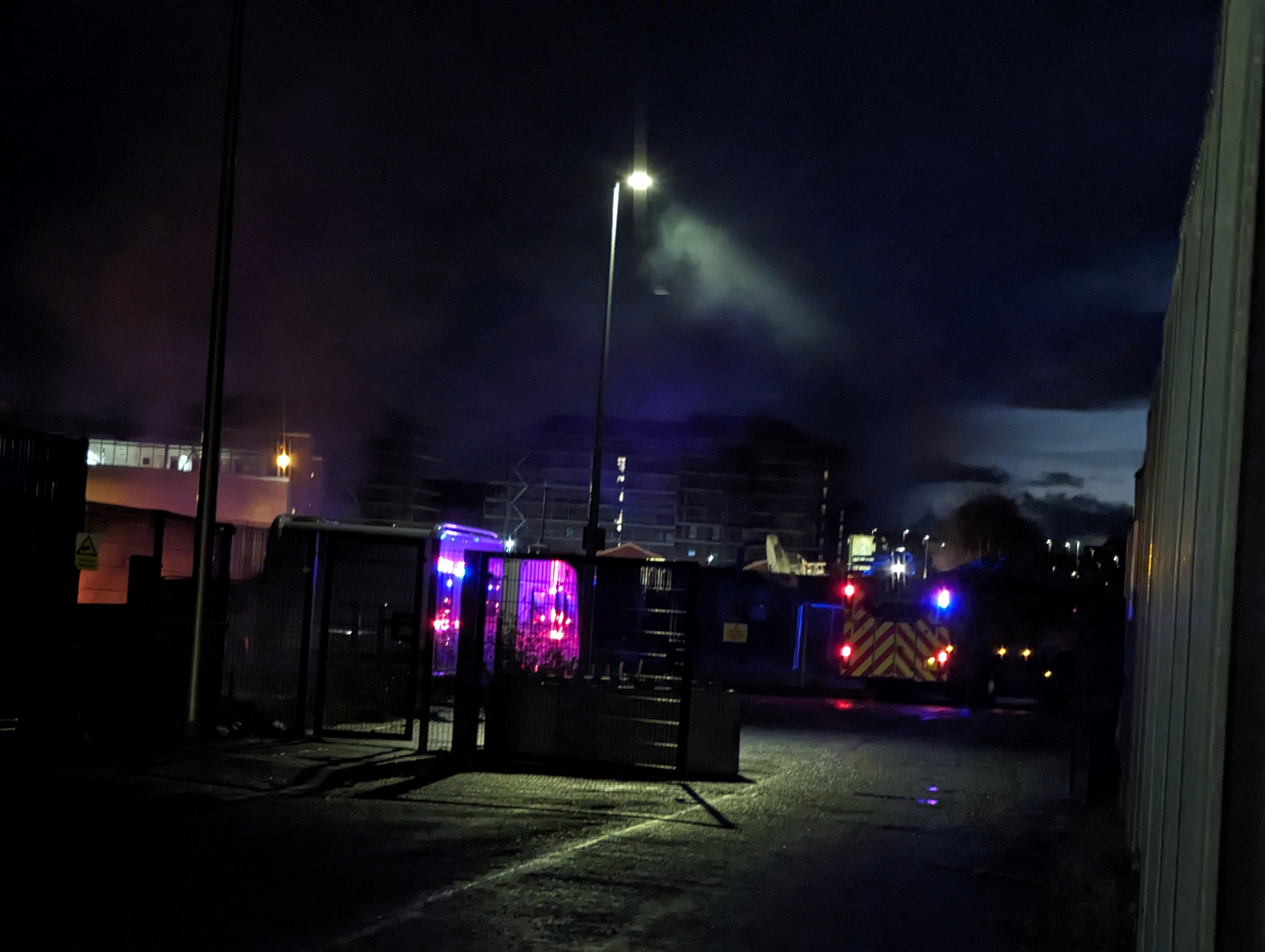
Uphill we traipsed, viewing the space for the new Granton Mural (end March 2024) and regaining the Gasholder. We stood in the rain to wonder why Caroline Park Avenue has become Waterfront Broadway, and returned to our starting point just as the fire engine arrived to douse the fire, now emitting acrid black smoke.
We’re from slightly outside the area. I’ve been down here a LOT walking the dogs so it’s very familiar, but it’s interesting to do it in a group because different people see different things. [Did you notice the changes?] Oh definitely.
Sheila
Toasting with a libation (warm apple juice), as is customary at this Festival, we swapped experiences, hopes and fears. Our discussion focused on the place where the inner landscape met the outer.
I used to like going there because of the nature around the gasworks. Because there was such a high fence and nobody could get in, it was undisturbed and there were wild orchids. To see it all demolished and a building site … it’s sad.
Maria
Along the bread line, the coast line, and the invisible lines between here and there, and us and other, we walked. It’s a time of great change in this area: trees taken down, blocks of flats going up, buildings repurposed and roads renamed (no-one knows why, though we suspect so-called ‘gentrification’).
The fire engine arrives just as we return to Madelvic House
Where can you go to walk along and listen to The Wall?
Here are the co-ordinates: 55.984877, -3.232373
What 3 words: ///piles.cargo.whips
Enter Chestnut Street, turn left along Hesperus Crossway and at the end of the street, walk straight ahead. It may be necessary to find a gap in the fence. You will see the wall in front of you and the QR code should be hanging on a bracket in the section to the left of another wire fence. Otherwise, you can access the Soundcloud recording using the link below and it will tell you what to do and when.
So-called common ground
The developers regularly shut off the area (which is ironic (see below)) and it’s sometimes hard to get to this installation. However, if you are unable to, you can listen below, look at the photos, and imagine you are walking!
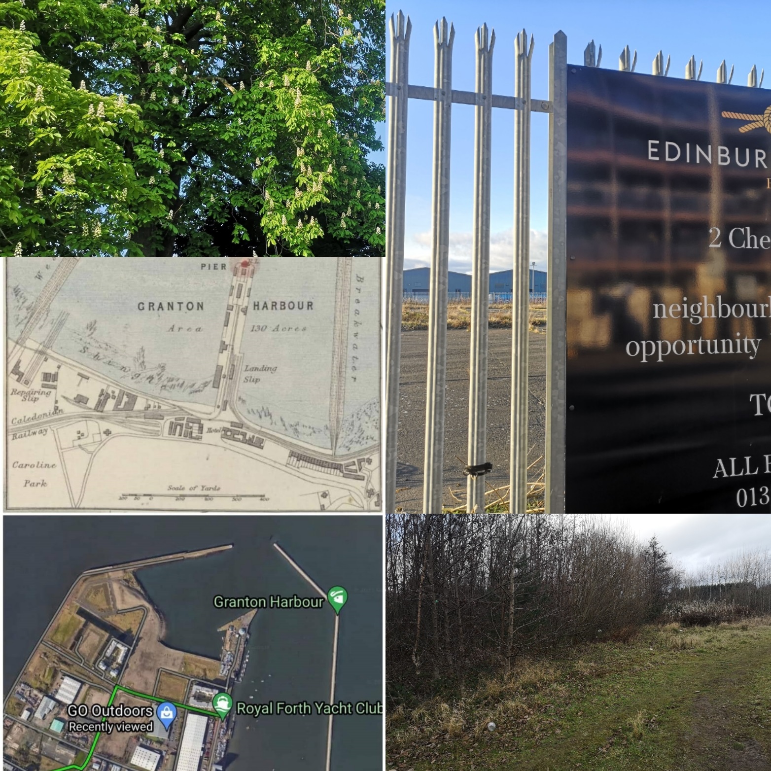
At the very edge of the harbour, bordering a piece of scrubland whose time is nearly up – it won’t be long before it is ‘developed’ – is a tall wall separating the reclaimed land from the sea. It’s hard to find out who built it and why, but I have a pretty good idea. It’s marked as Granton Breakwater on google maps, although there are in fact three ‘arms’ to the harbour: the best known is Eastern Breakwater (note that the beach, Wardie Bay, is to the east side of that); the Middle Pier (recently renamed Chestnut Street – why?); and the Western one where the soundwalk is located.
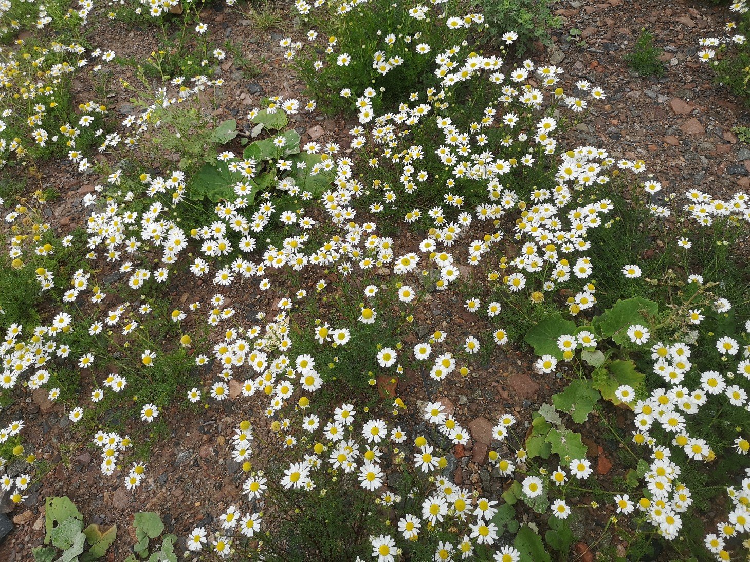
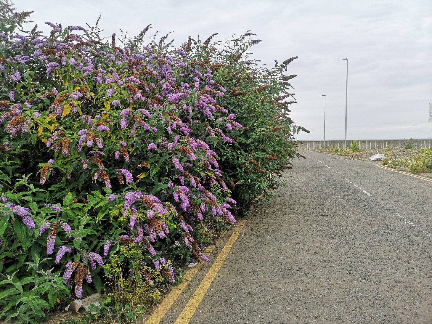
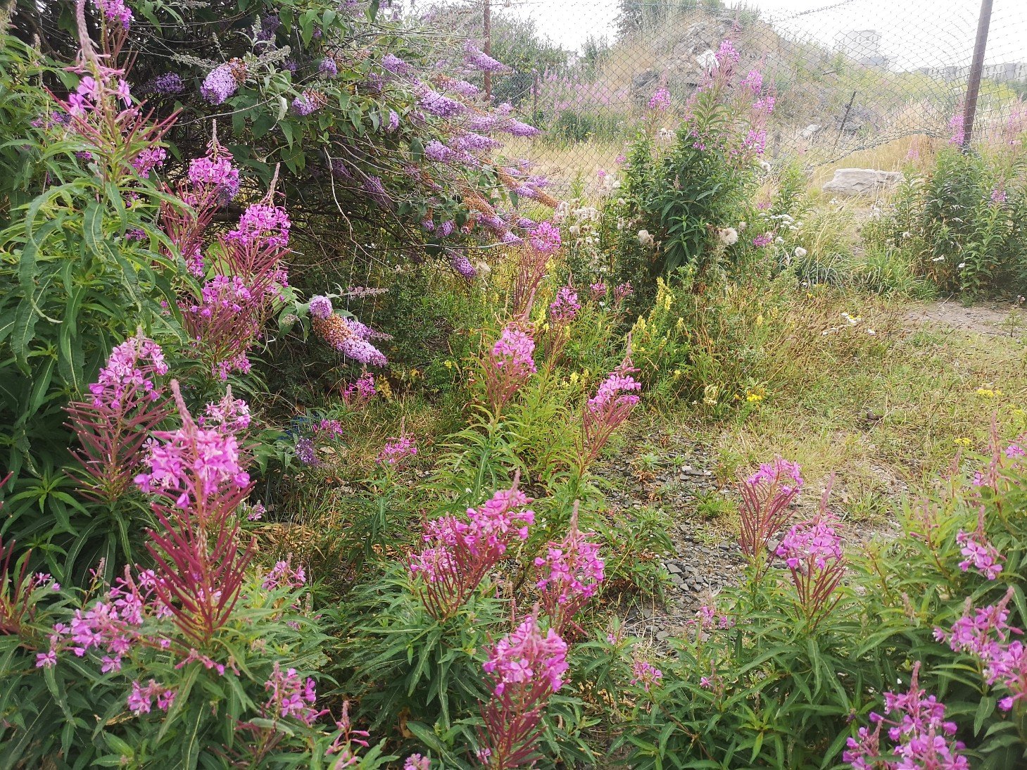
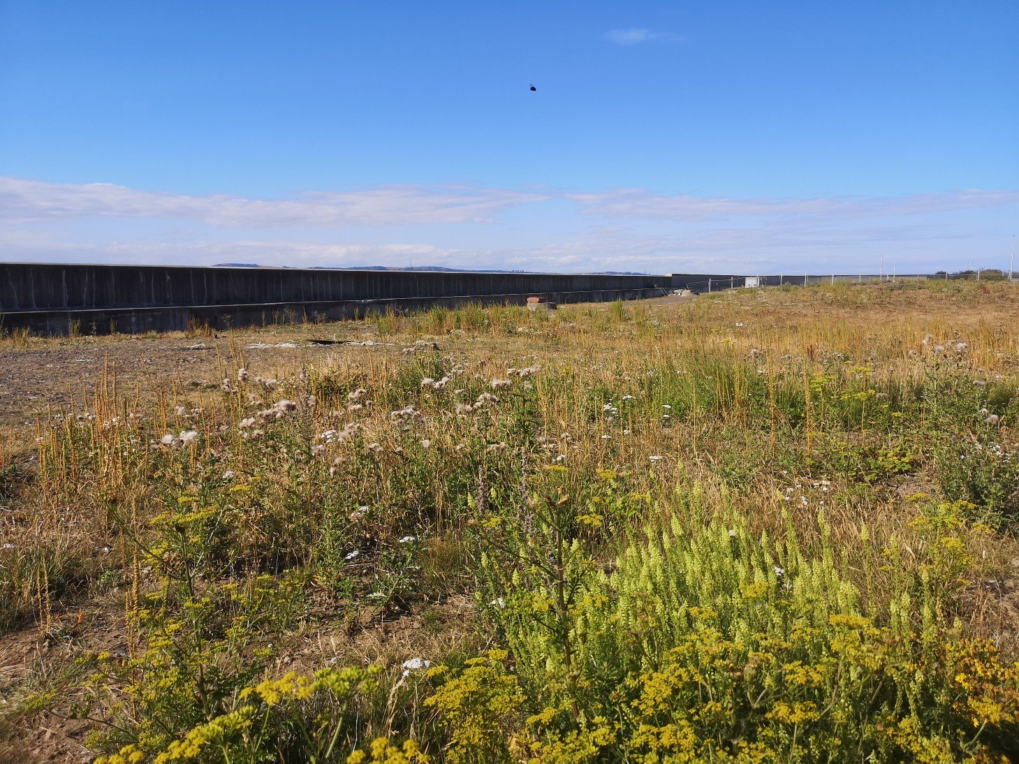
chamomileBuddleiaRose Bay WillowherbThe land has been allowed to get on with flourishing
This is a spot of ‘guerilla art’, in the same vein as guerilla gardening!
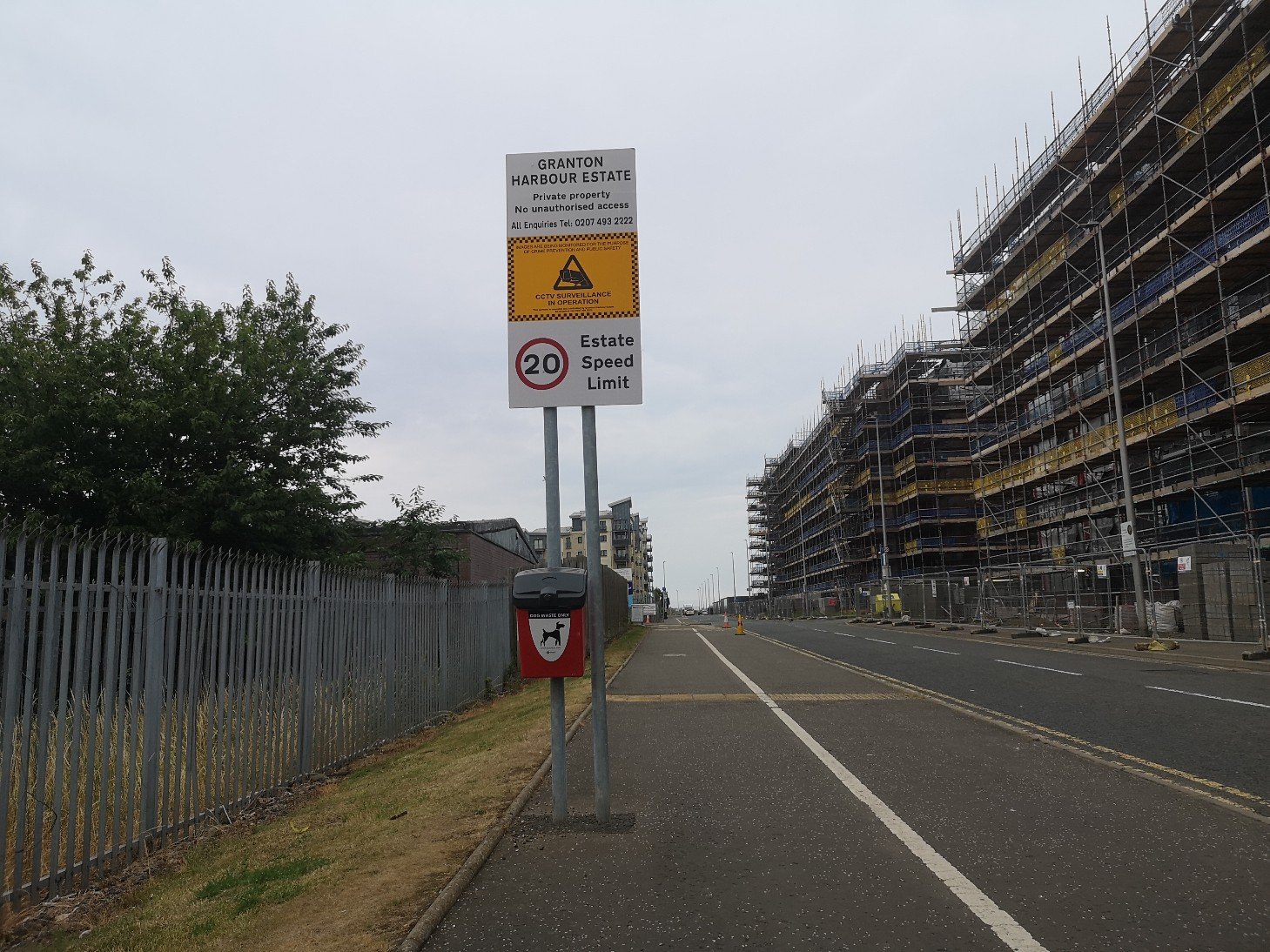
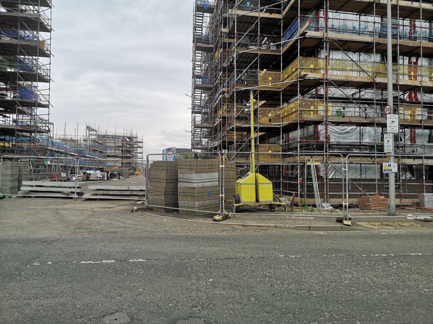
Walls have been in the news in recent years and this unprepossessing one tends to go unnoticed, with the general exception of dogs and their companions. It borders the area which is, as I say, undergoing intense development, most of it for the luxury market. The plans show that there will be concrete walkways and a communal ‘garden’.
Walls serve complex functions and produce varying effects on the socio-geographical aspects of an area, an area in this case which has a rich history. The Granton community used to work and play here every day, it was alive with industry, and their voices can still be heard if you listen carefully.
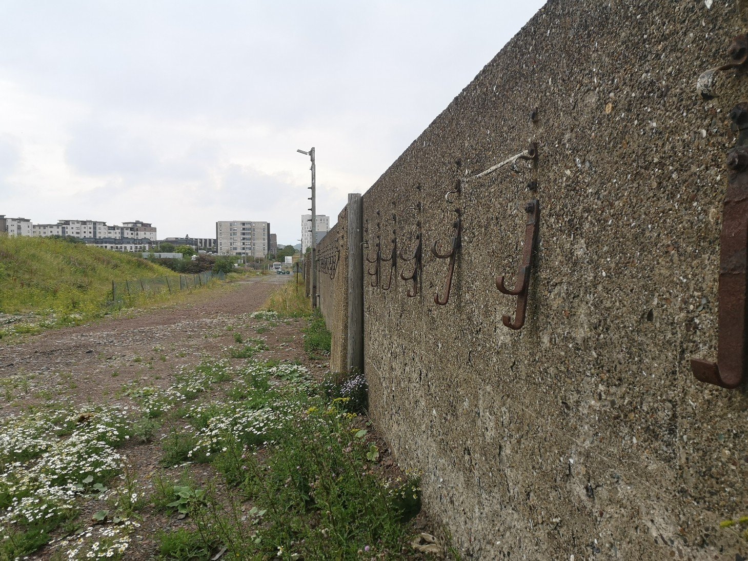
Before – the site of an old railway with hooks for cables
In the meantime, small parts of the harbour have been returned to straight channels of water, and the railway line and its attendant buildings have, in the most part, disappeared.
It is a psychogeographer’s dream!
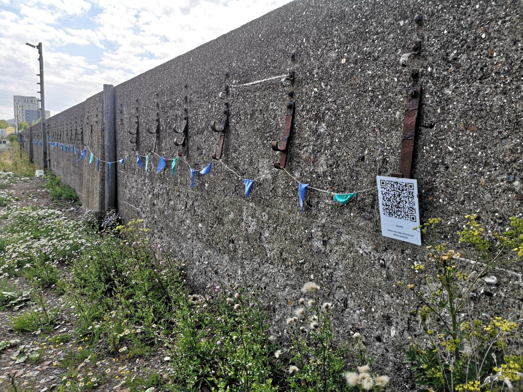
After
Keeping people in check – restrictions
The wall has a distinctive voice. It is not shy to speak, indeed it wants to be heard, it has something to say. After all, it’s another of those structures, like trees and the sea, which is always in one place, come rain, come shine, and has therefore witnessed a lot of what goes on over the ages. The southern end is still covered with roughcast, a sort of pebbledash, and if you look carefully there are fragments of crockery and other interesting hints of these lives.
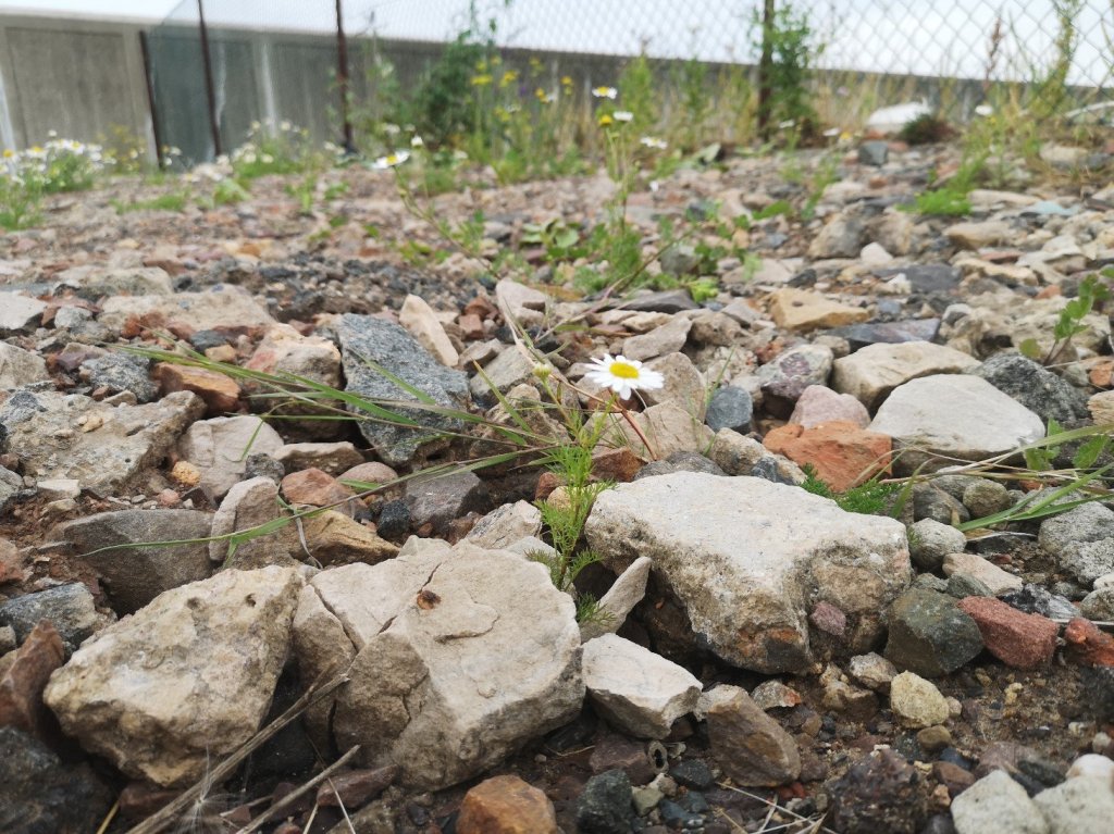
(Beware the thistles! And try not to crush the chamomile, although if you arrive before midday you can gingerly remove a handful of flowers for a tisane which will taste quite delicious compared to the tea bags you can get in Lidl. The plants will simply send out more blooms in response, and their days are numbered).
Chamomile
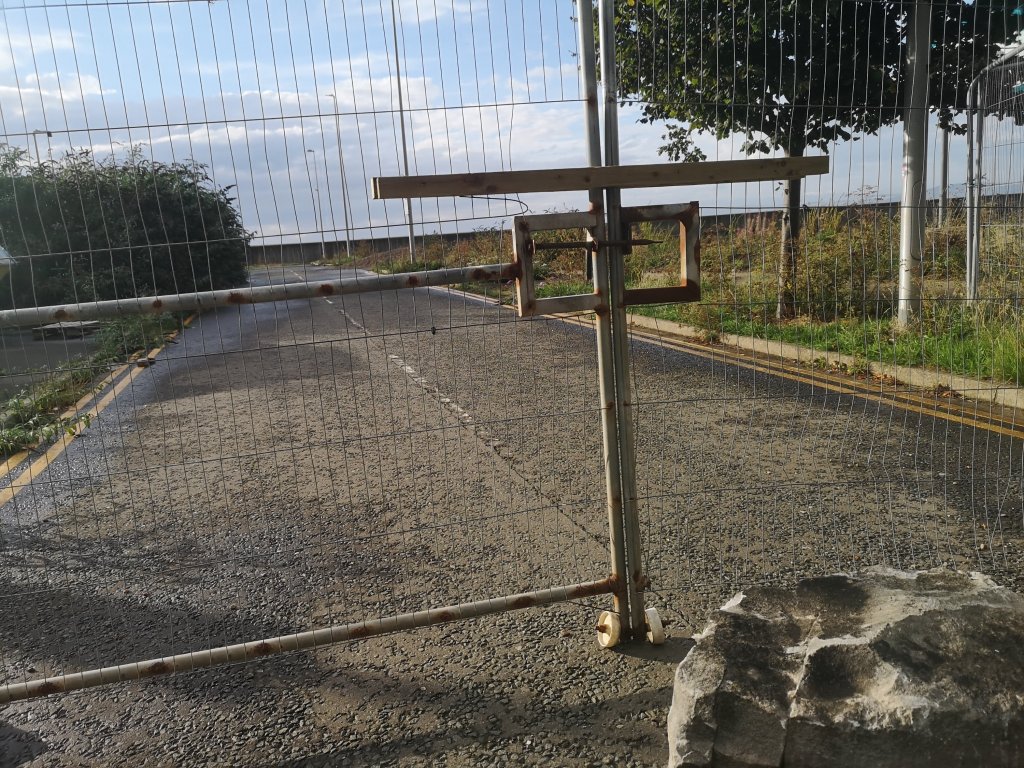
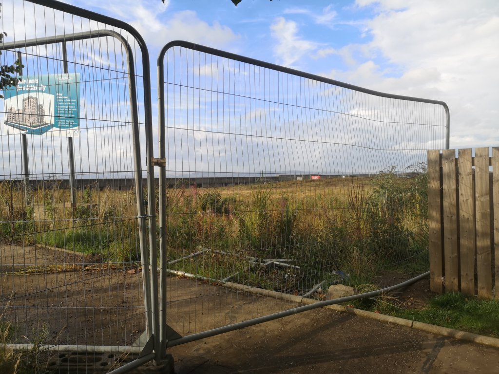
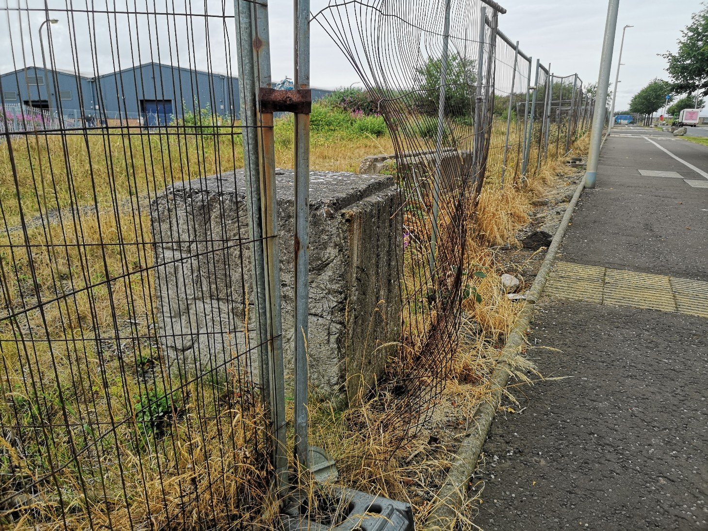
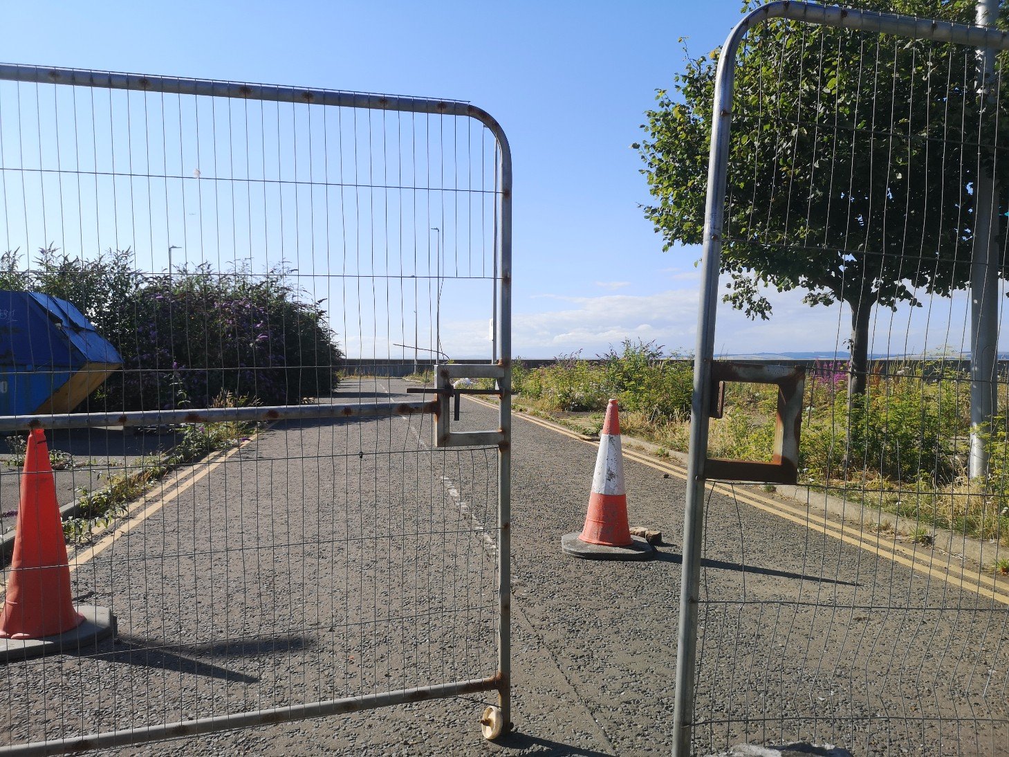
This is a land of fences, and as fast as ‘they’ put them up, people have found ways through. Mostly. This was, after all, common ground for nearly 200 years. However, there are two places now where access / exit is impossible, making it necessary to approach the installation the long way round, past security cameras, and for no discernible reason.
Hesperus Crossway
During the past few years, place names have been changed, walls have been smoothed over, fittings removed, and ‘messy’ buildings have been redecorated so as to almost wipe out any hint of their former daily functions. The result is a gentrification and appropriation (in the name of regeneration), which erases most external reminders of the past. It must be remembered, though, that ‘the past’ was made by people, and many of those people still live in the area. Their memories are part of who they are; this past is a valuable part of their lives.
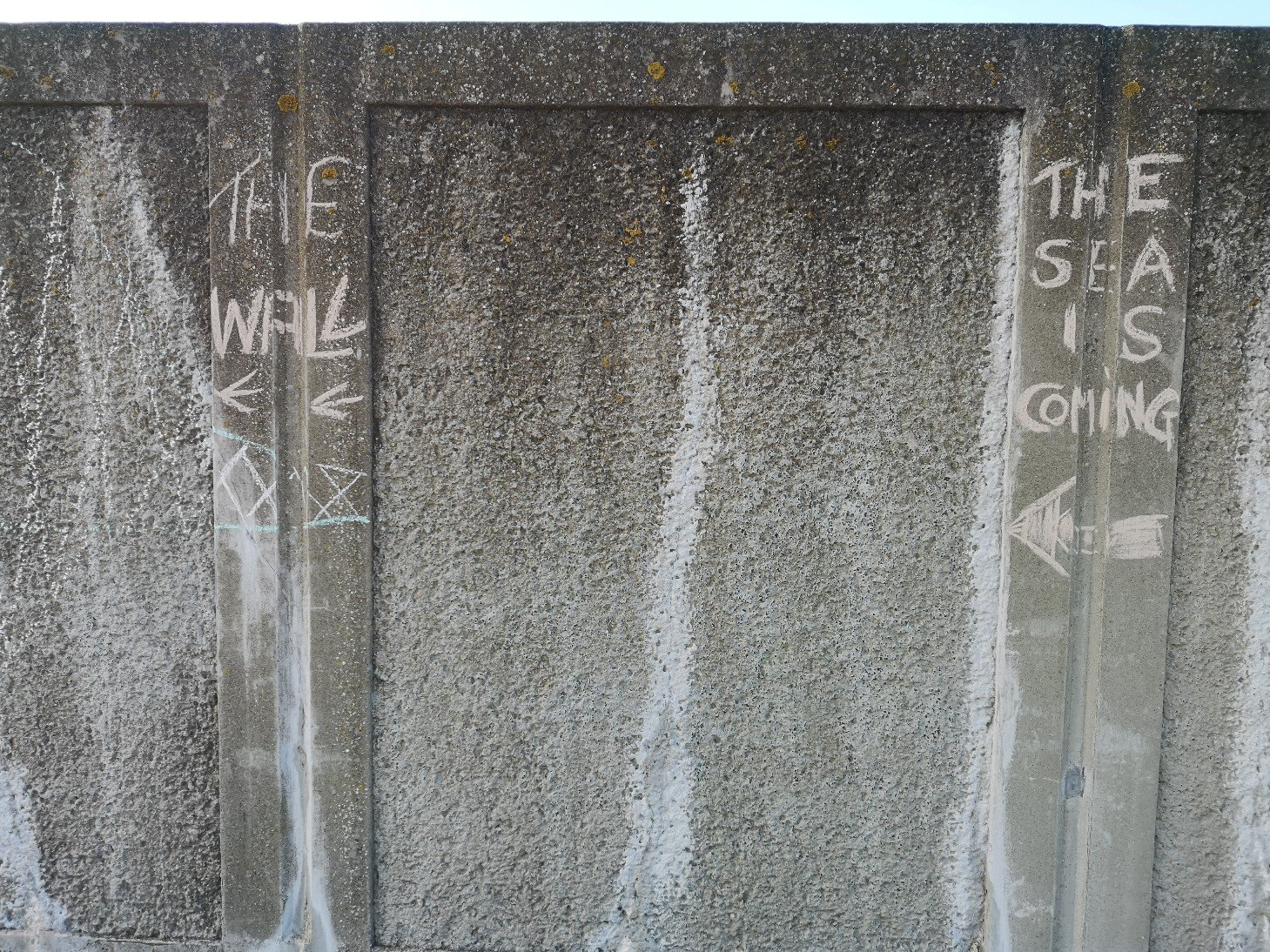
The chalk mural will disappear over time, and if a previous installation, No Birds Land is anything to go by, it may also be vandalised. These changes will be part of the duration and time-based aspects of the piece. It will be difficult to know who walks, hears and sees the installation, but by pacing the edgeland like this, learning about this liminal area and feeling the effect it gives, it is hoped that you and it will be stimulated. (Since then I have used spray chalk to redo the mural which should last longer in the weather.)
The Wall
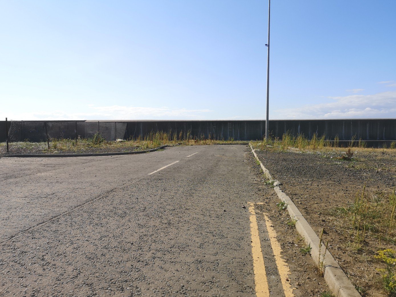
You can locate this soundwalk and installation by taking the West Harbour Road, and turning onto Chestnut Street. There is a ‘Private’ sign. Turn left onto Hesperus Crossway, and go to the very end of the road.
what 3 words: ///voted.cycles.impose
Slip through the fence and walk forwards. It is a dead end, and in front of you is The Wall.
The sign says that this land is privateSecurity camerasNote the cycle lane opposite a ‘no cycling’ sign!
There is a new fence to your left, meeting the wall at right angles, part of which has been pushed down. You can go over that into the section of scrub land and walk towards the wall. There you will see the QR code to scan with your mobile phone and can then listen to the walk (headphones will probably be best).
Slip through the fenceIt’s a dead end with a wall. There is also a new fence at right angles on the left
You will see some of the chalk drawing ahead of you, and the wall (made of sandstone from the Dukeof Buccleuch’s quarries on the Granton Estate, ashlar and some of the larger facing blocks were quarried in Fife) stretches to both sides with the main part of the installation to the left. Once you are listening to the audio, you can walk in each direction according to the instructions, or make your own choice. In total the sound walk is 13 minutes 44 seconds, and it could take you around half an hour to 45 minutes to explore the whole.
You can walk south, inland towards the cityYou can also walk north, towards Fife
Please note that there is nowhere to park except on West Harbour Road, so it’s best to cycle or walk. Or, you can get a bus to Granton Square (16, 47, 19, 200) and walk from there – it will take you around 10 minutes.
If you are not in Edinburgh or cannot get to the harbour, here is a link to the audio part.
Quotes and references are from/to
Henry Wadsworth Longfellow, The Wreck of the Hesperus
Rachel Carson Under the Sea Wind
RLS ‘From a Railway Carriage’
Local street names
I have tried to upload the walk to the Echoes app but it has been unsuccessful. I will try again later.
You may also like to download the Curious Edinburgh app, which will take you to other aspects of the harbour and tell you all about it. Also the Granton History and Railscot websites.