4th in the Walking in Pairs series with Kristina Rothstein in Vancouver, Canada and Tamsin Grainger in Edinburgh, Scotland. Walking together, apart. December 4th 2025. Our theme: Freedom / Constraint
Kristina (9.45) : It was a chilly rainy day. I walked from my house to Queen Elizabeth Park, a large municipal arboretum which includes ornamental gardens, duck ponds, a pitch and putt course, frisbee golf course, restaurant, and tropical conservatory. It’s on the highest point in Vancouver, an extinct volcano, and is varied terrain.
This is my only regular walk site that I have visited for Walking in Pairs, and I felt like I could radiate and transmit information to Tamsin the whole time because of feeling so grounded. My impression was that she was also in a familiar location. I went to the highest point, where I gathered some audio for five minutes or so, rain on my umbrella, rain on leaves, probably some traffic, rattling a metal sculpture, a freshwater underground pipe, an exhaust vent from the conservatory.
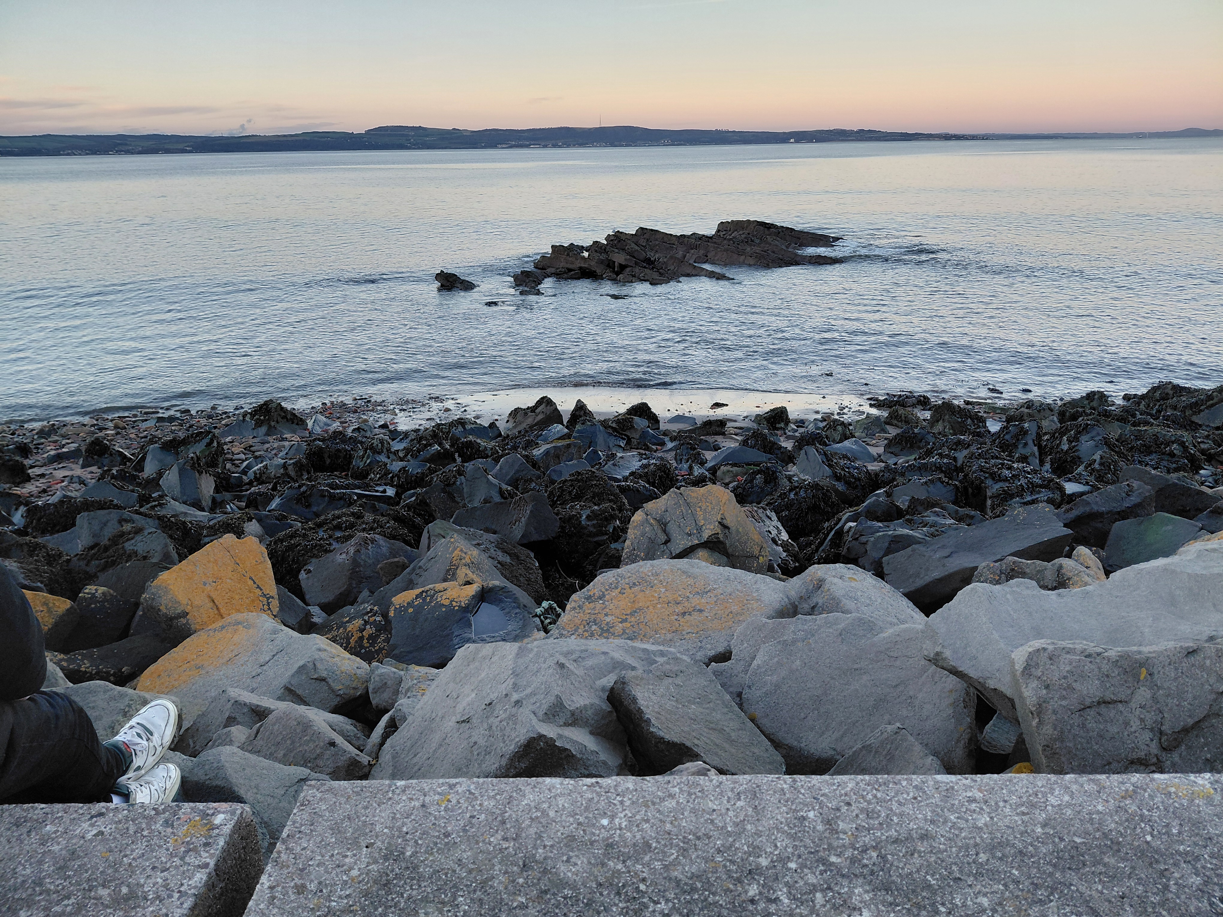
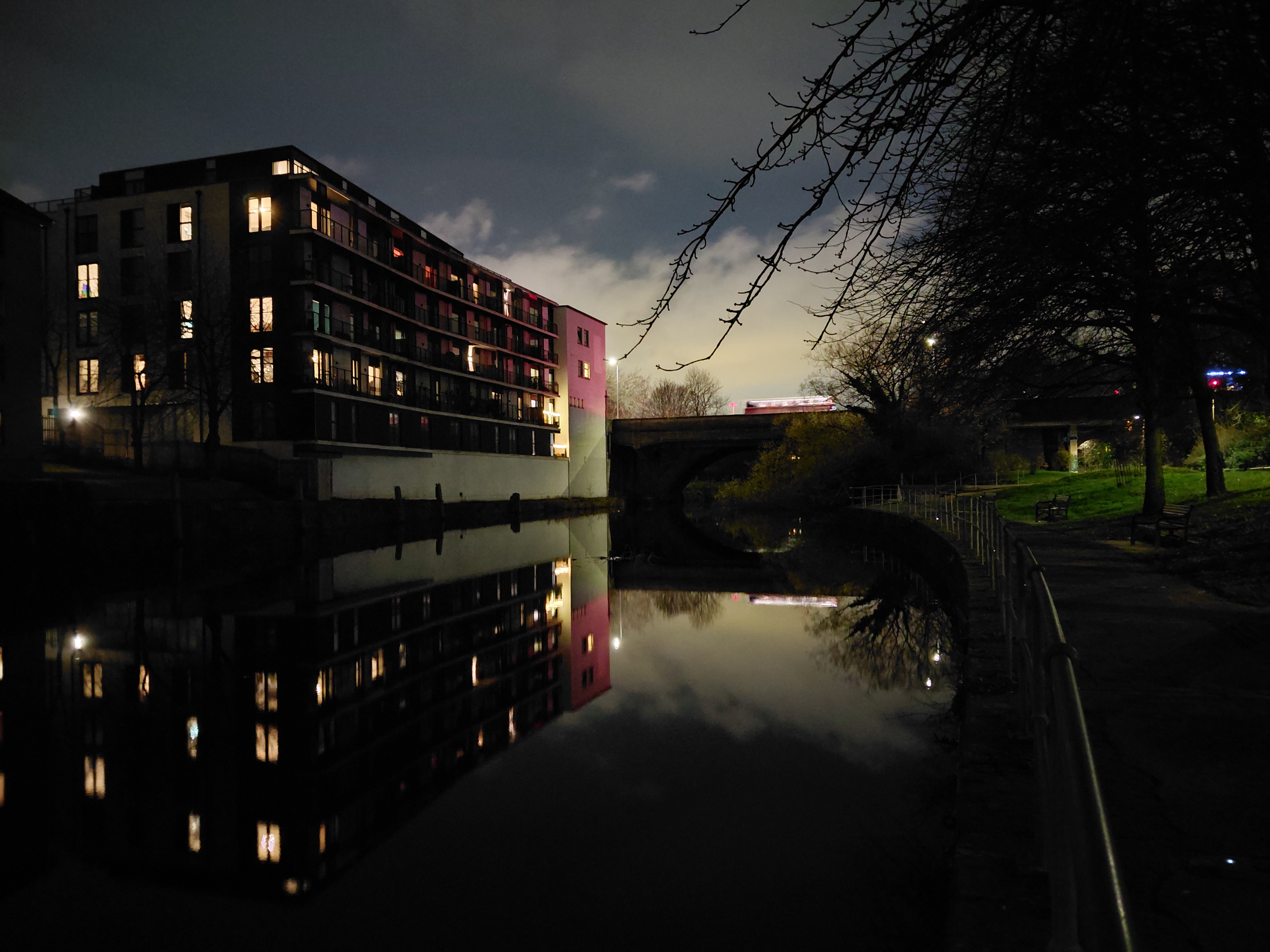
Tamsin (17.45): It was a chilly December evening in Edinburgh, a city built on an ancient volcanic landscape. There was no rain. Free-moving clouds only allowed me to see the full moon every now and then.
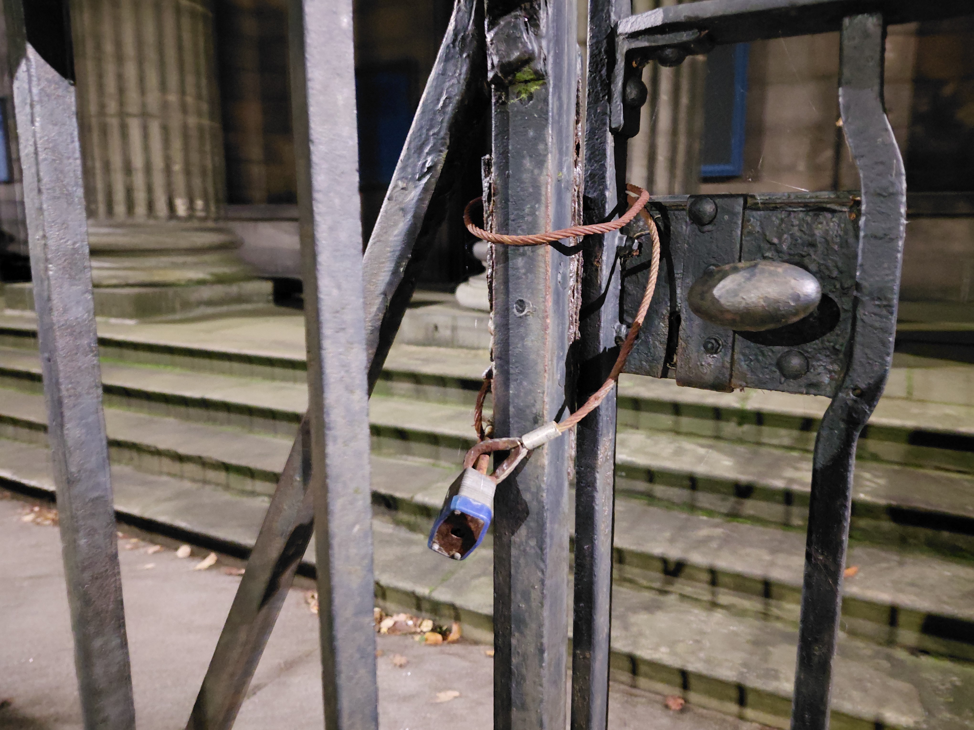
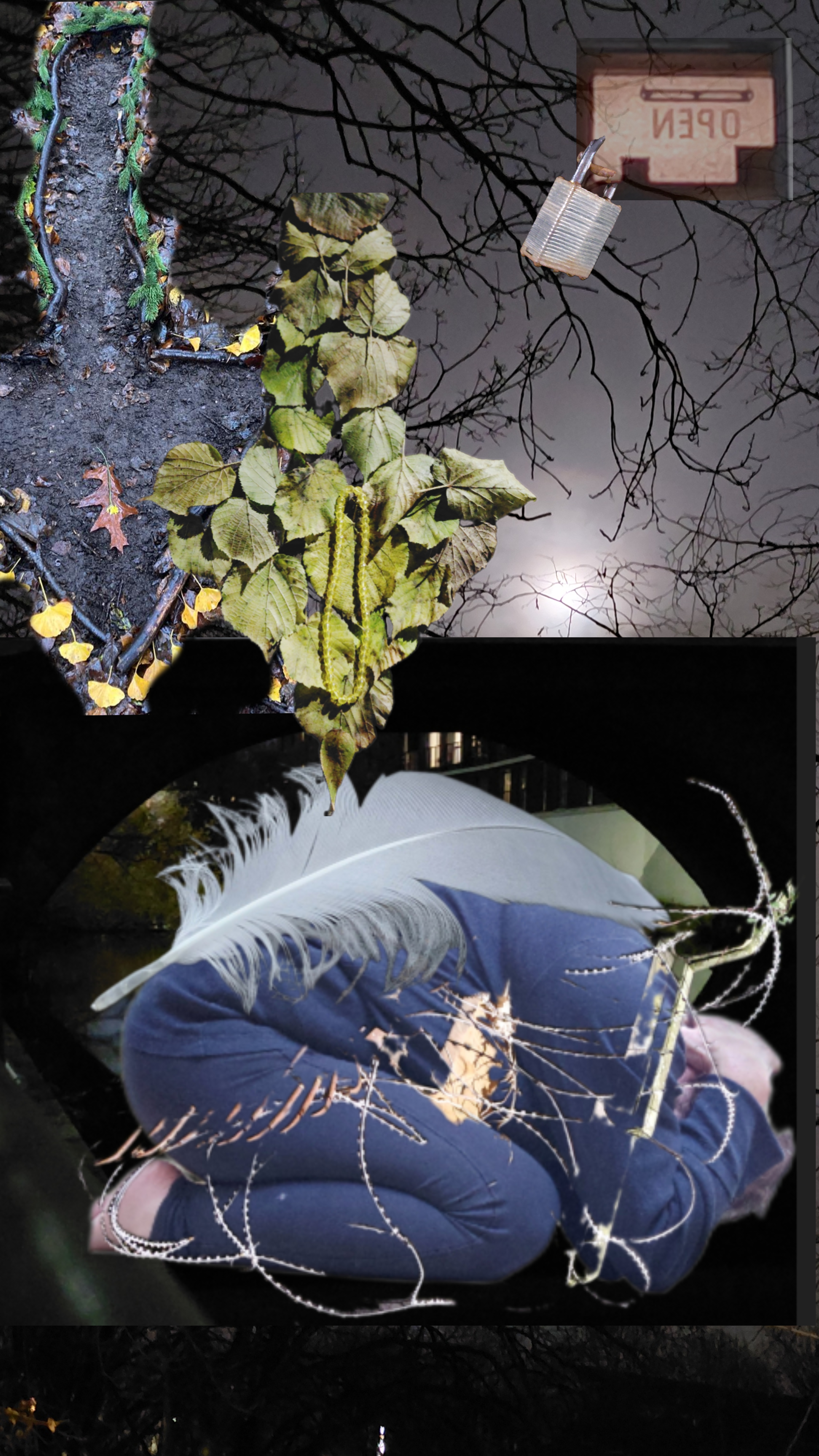
What route to take? On leaving the flat where I was staying, I soon came across North Leith Church, and though its grounds enticed me, lit as they were by an eerie light, I was unable to explore them because of a series of padlocks and ties. The plaque informed, Built 1818 by William Burn replacing the old St Ninian’s Church on Quayside Street. I’ll go to where it used to be then, I declared to the evening, and set off.
Where was Kristina walking? What was it like where she was, in the morning light over the other side of the Atlantic? Who did she meet and what sounds was she hearing?
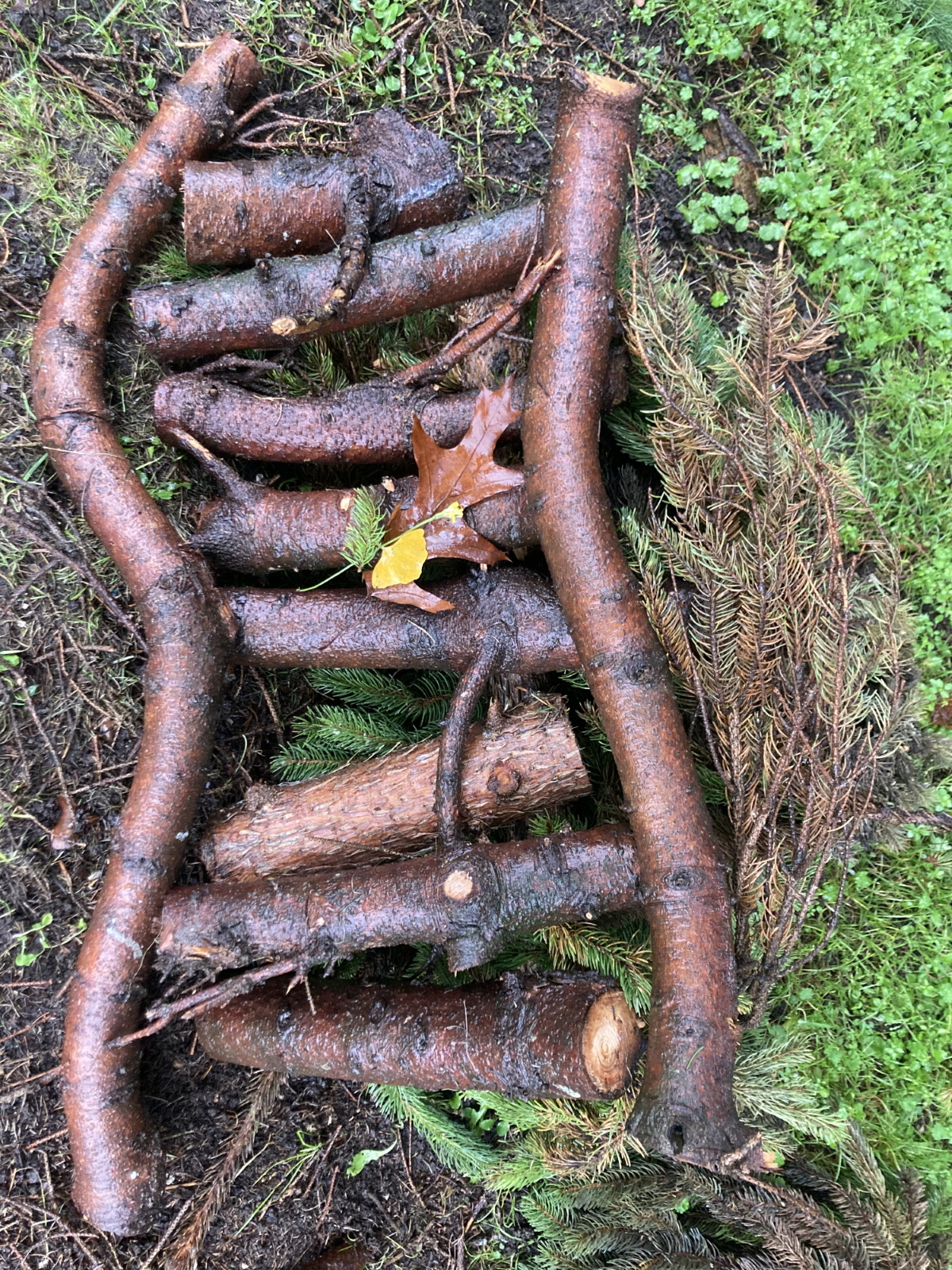
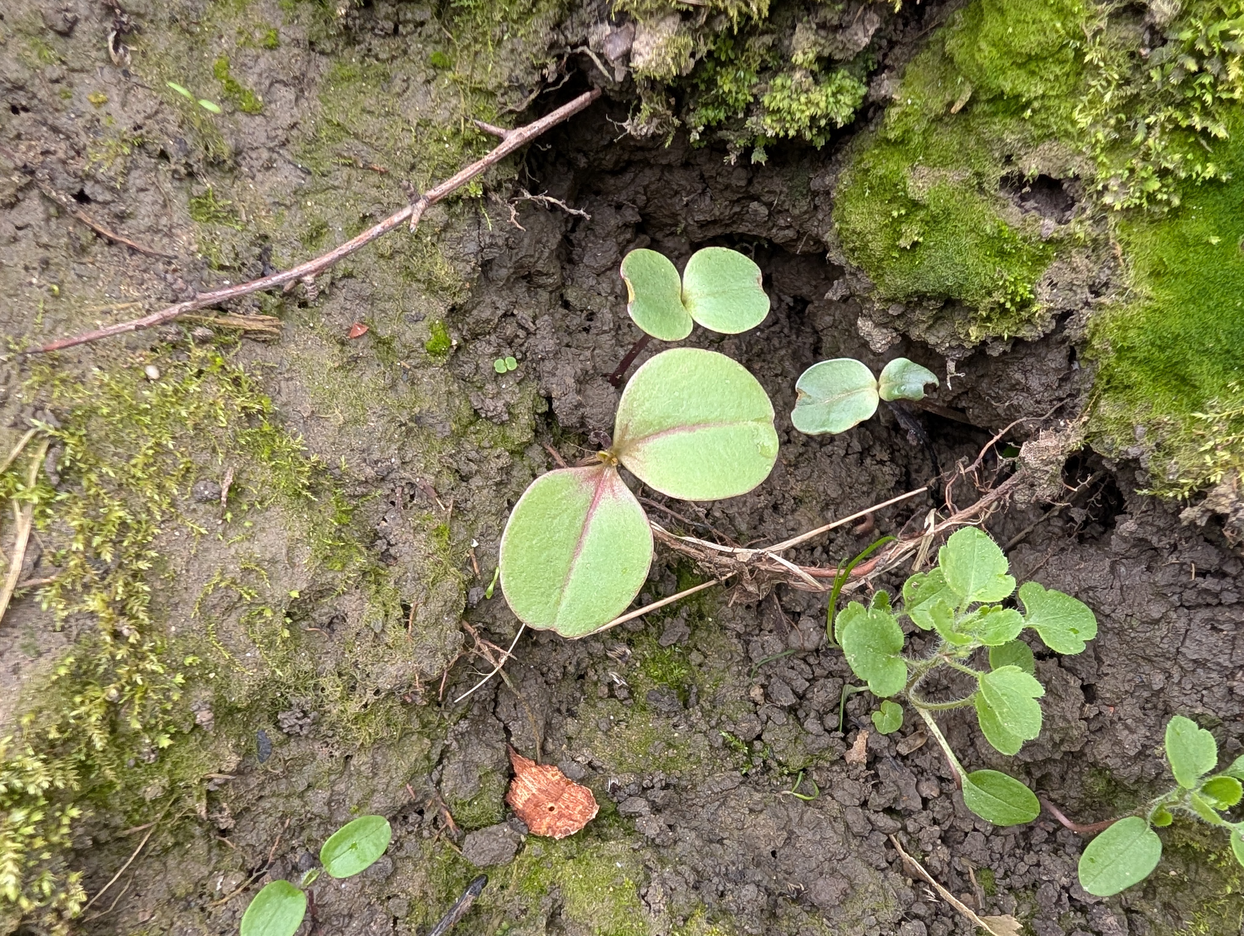
K: I entered the golf course, which is always deserted at this time of year and has some very wild, tucked-away areas. A fallen branch from a tree had been cut up, and I arranged some pieces into a pattern. I had had an idea to weave twigs or long grasses through a fence that runs along the golf course, and ventured into an area that I thought would be undisturbed. It was very wet and dirty, and I was not sure if the fence actually went through, so I walked back towards the golf course where I had thought instead to make a shape in the thick covering of wet leaves on the ground. I drew an arrow—a point of exit or escape—using our theme of freedom and constraint. I liked how it looked so I cleared the ground more and found twigs to line the arrow to give it more definition. This was challenging, given the rain, cold hands, and wet earth.
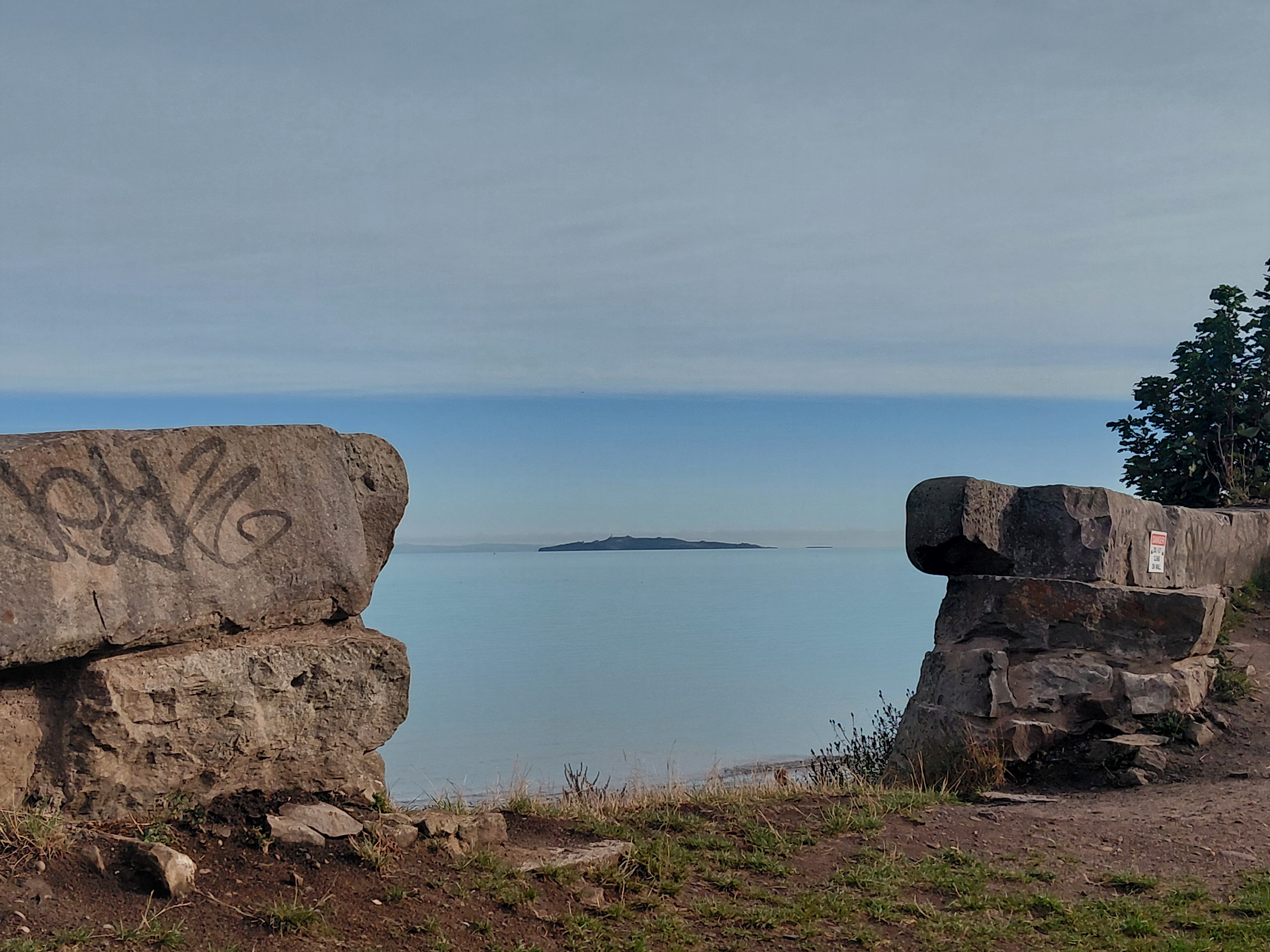
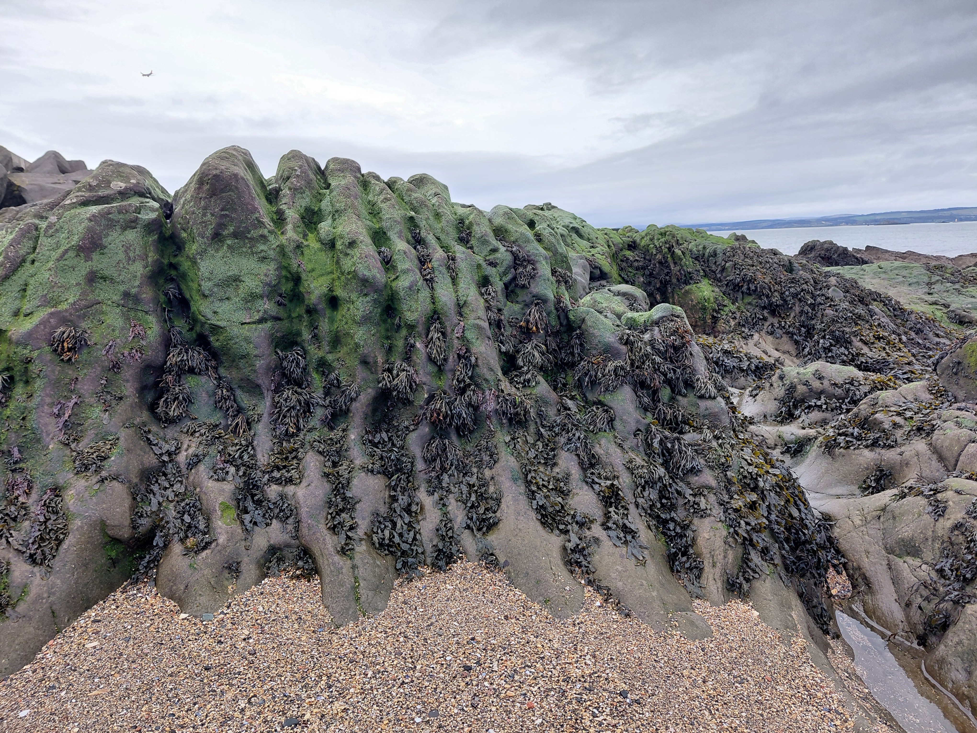
T: I joined the towpath at Coalie Park, a familiar location in the daylight, but not at night. It is not so much a park as a walkway beside the Water of Leith with municipal planting and wild greenery.
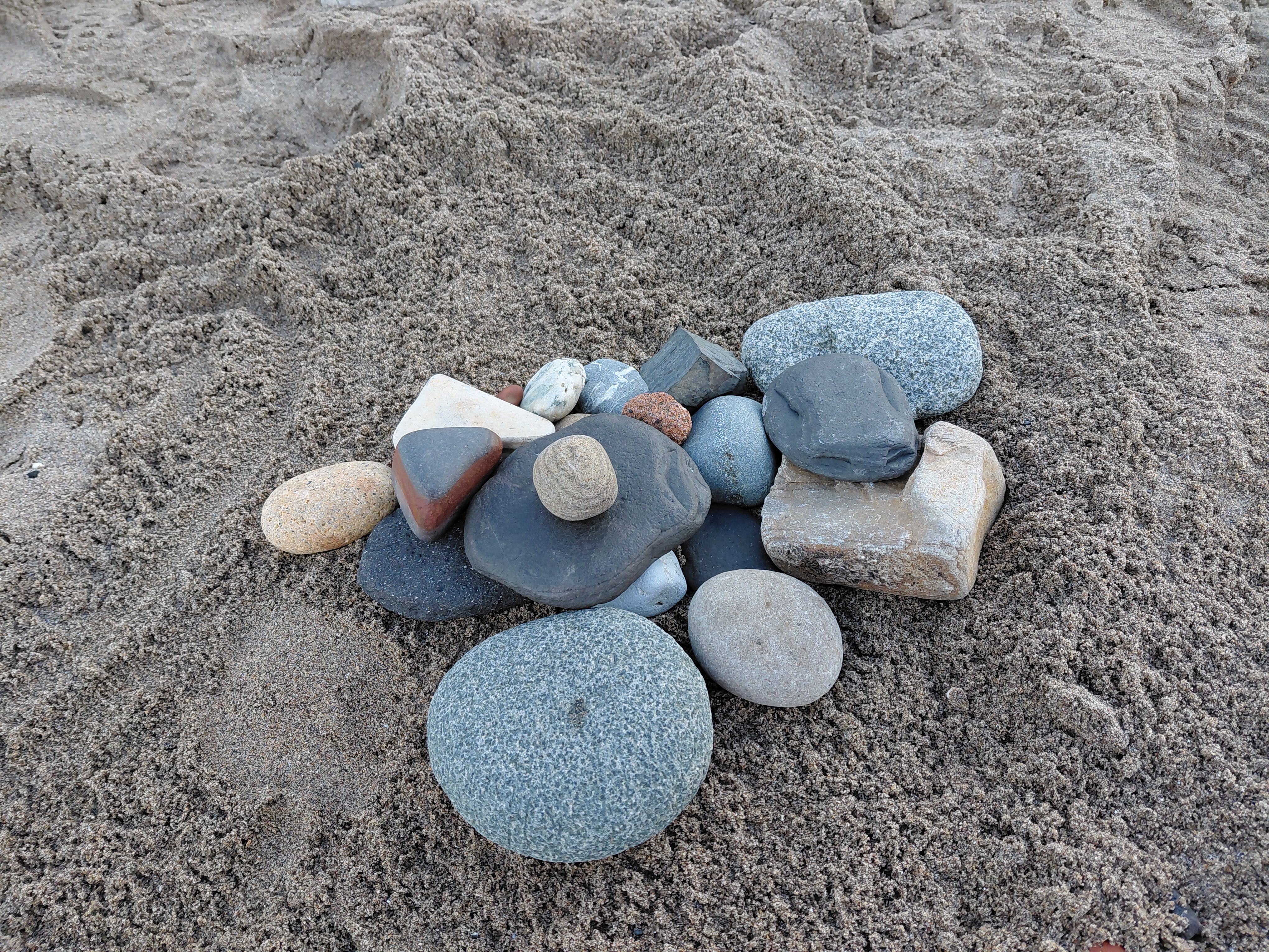
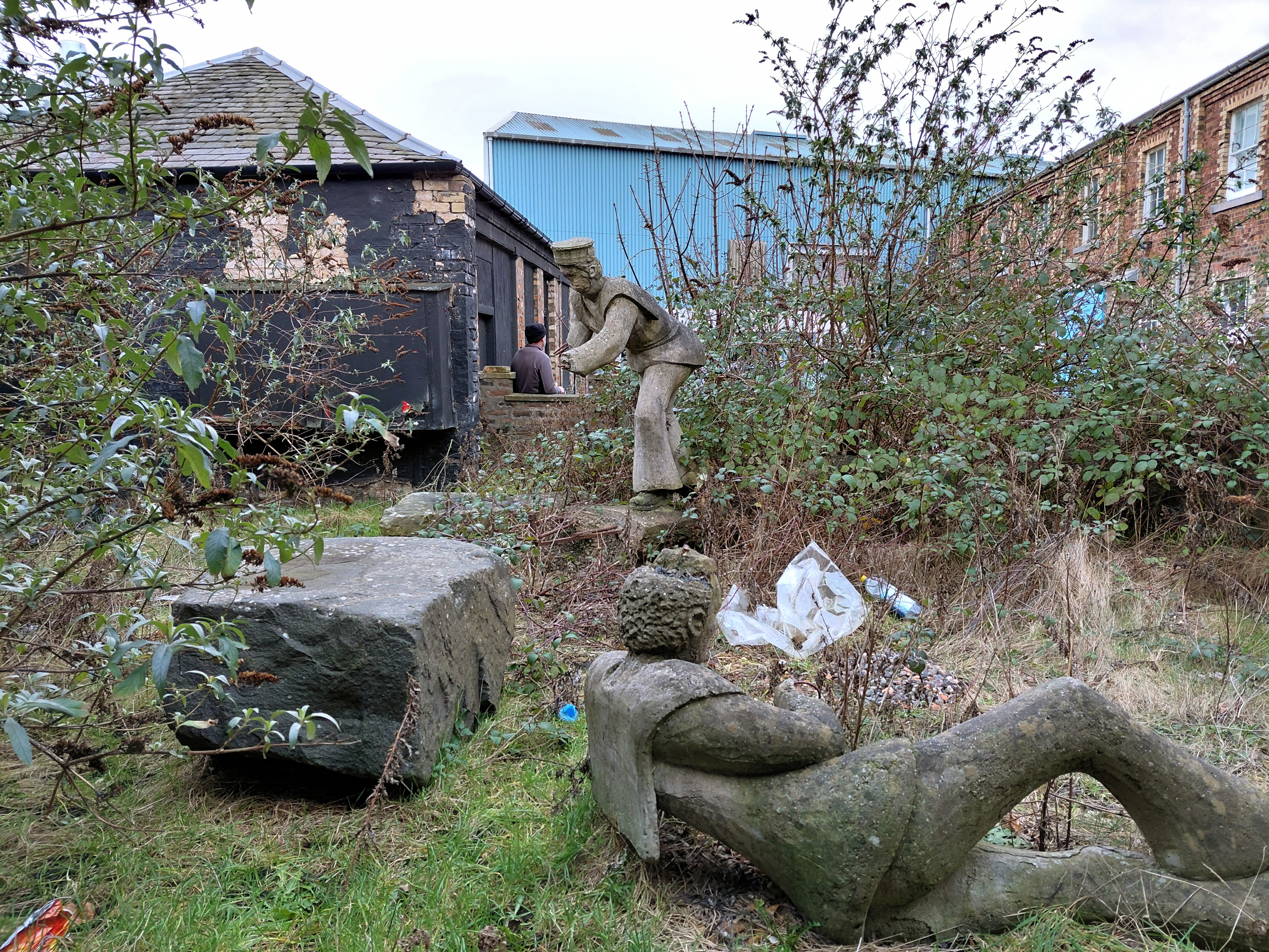
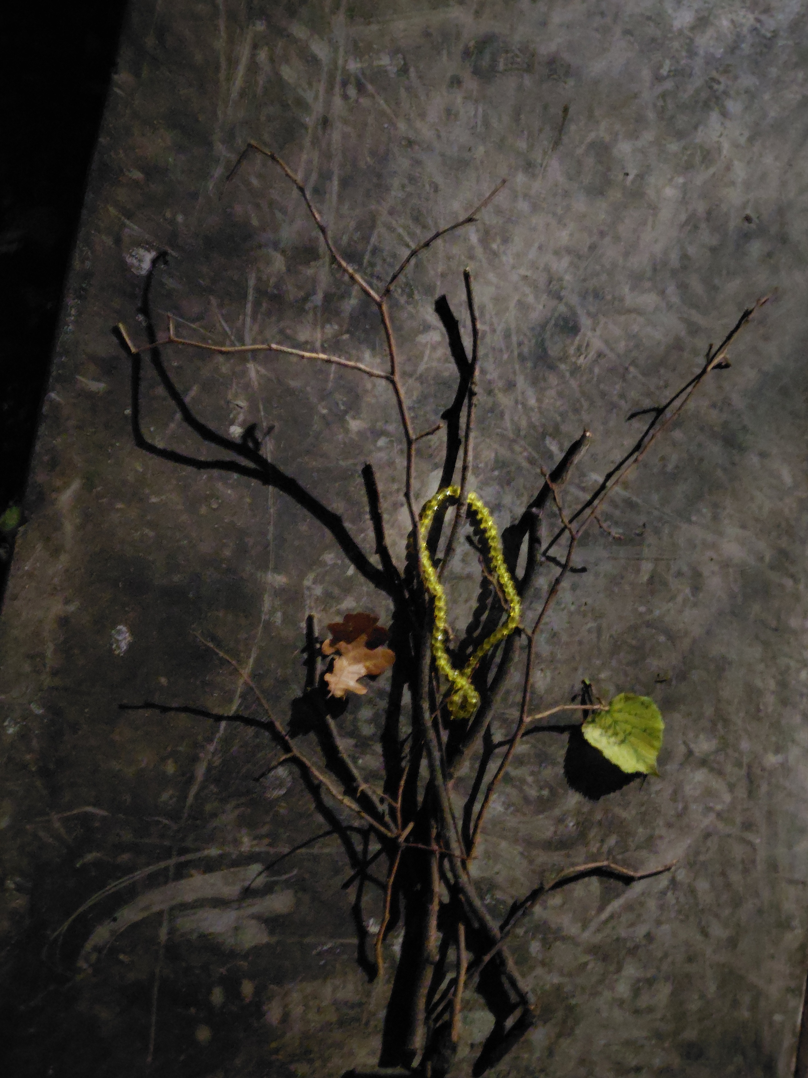
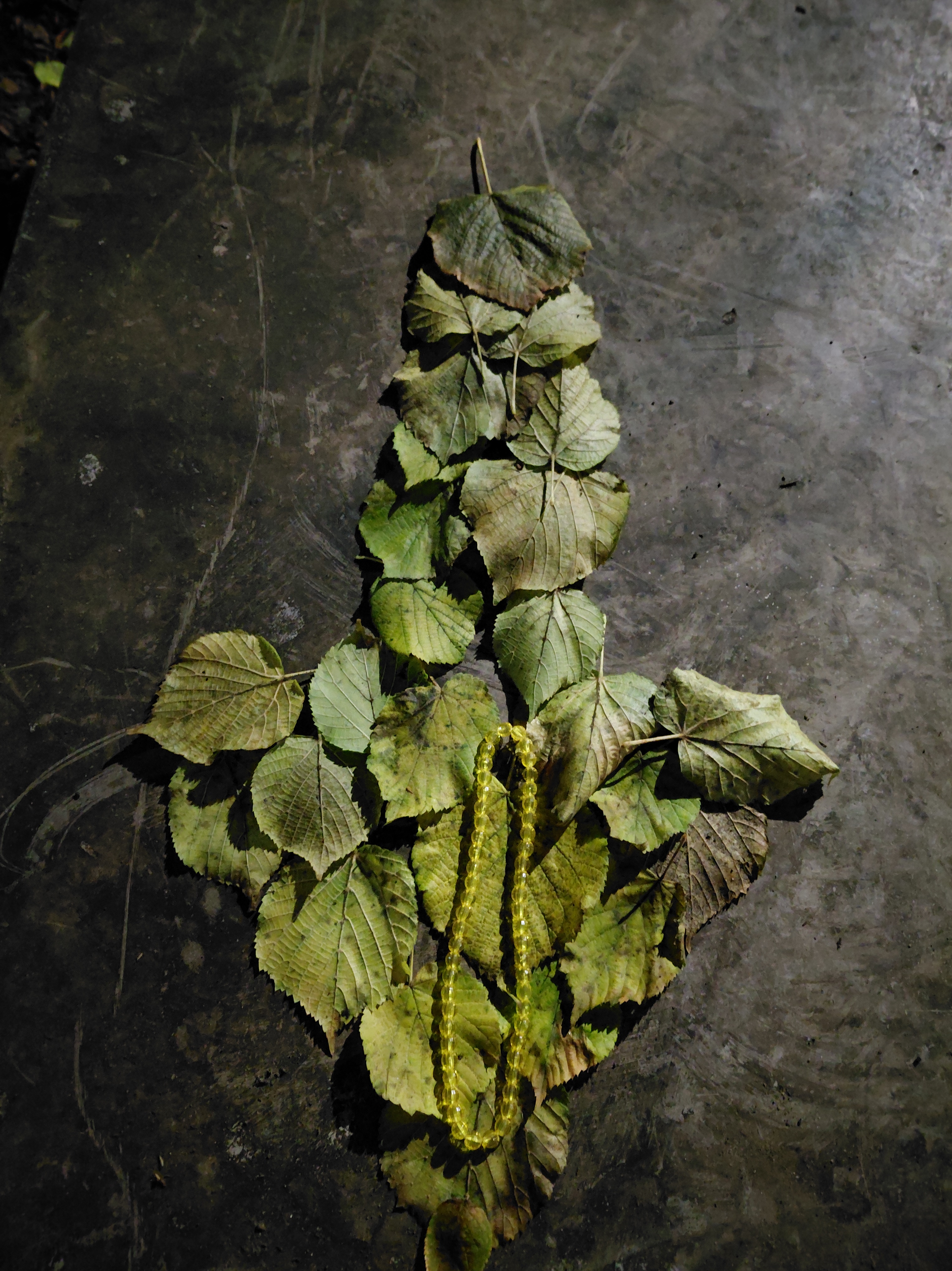
Collecting items which drew my attention, I arranged them on a shiny and durable surface that was part of a new skateboarding ramp. Collectively they spoke of my walk, our collaboration, themes, and the place itself. I was careful not to break anything, but juxtaposed them in a different way, forming a bouquet of natural branches and leaves and adding a necklace I had found earlier. My work was lit by street lamps which allowed the bauble to glitter. The background reflected in the same way that slices of the moon were being reflected in the water.
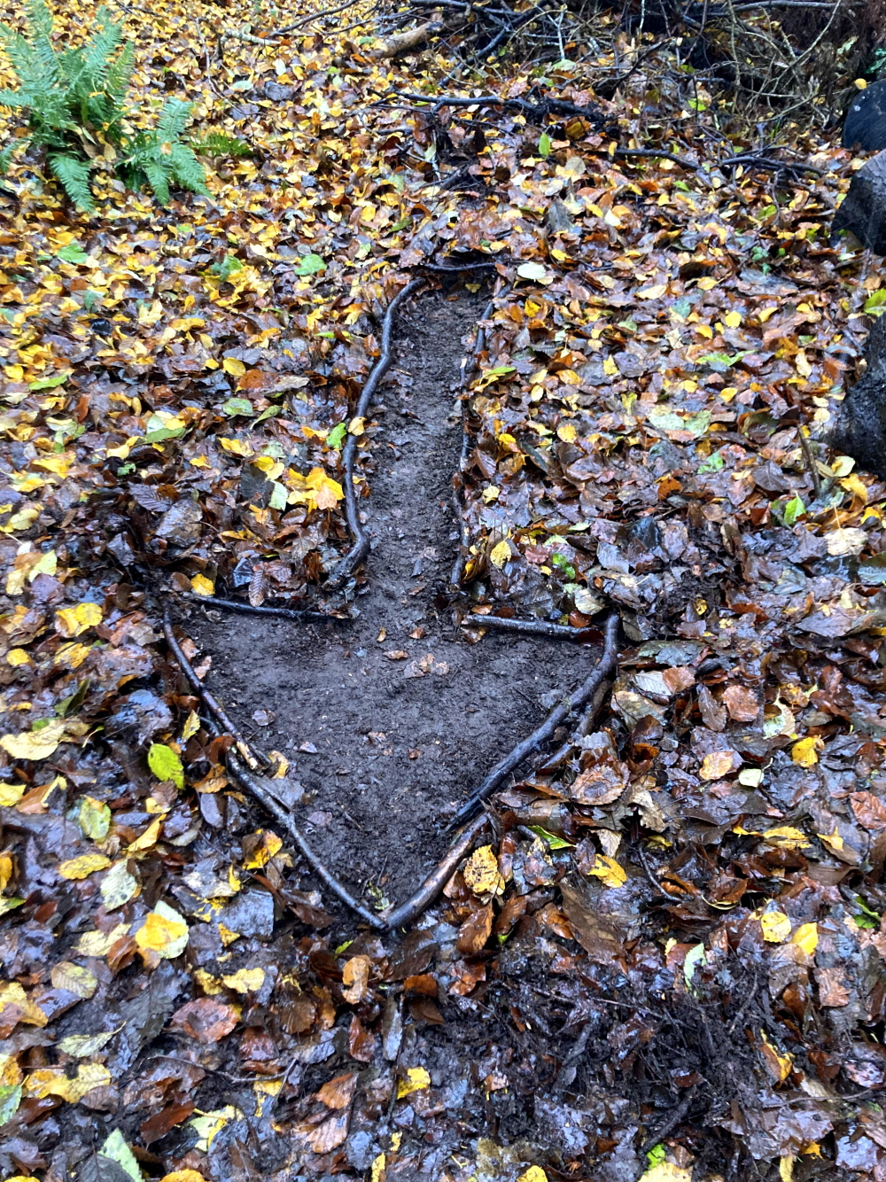
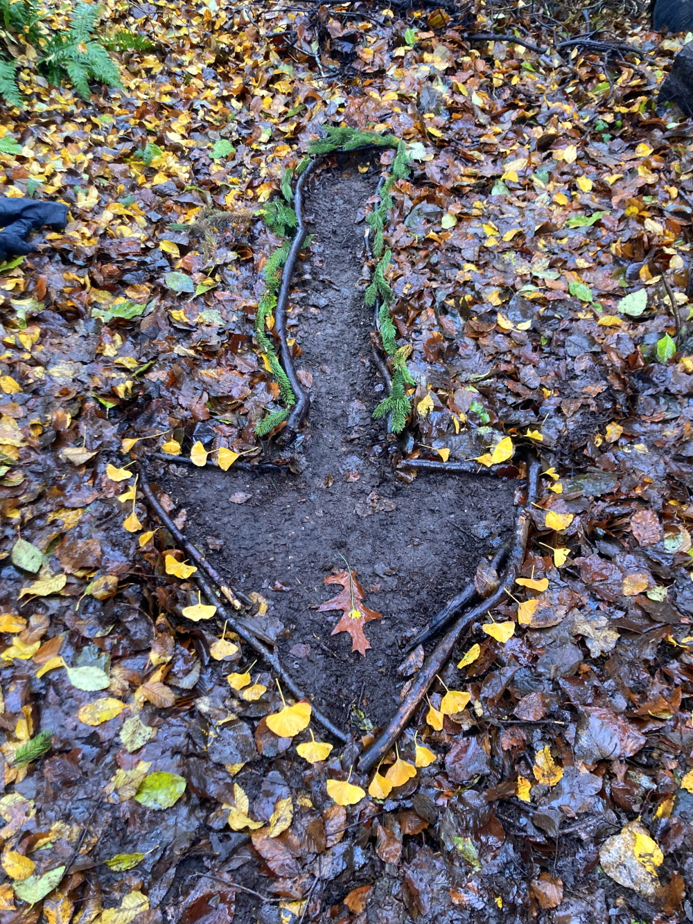
K: I sent my arrow photo to Tamsin, and when I saw the one she sent to me, I returned to the site of my earlier wood sculpture where I thought I might make an assemblage of my own. Instead I found the fallen leaves from a ginkgo tree, which reminded me of the colours in her piece, as well as pine boughs and some dandelion type flowers, which also echoed colours she used. I gathered a bunch of these, took them to the arrow and augmented the piece I had made.
T: After sending an image of it to K, I responded to hers by dismantling mine and using the same sticks to form the outline of an arrow shape, allowing the earth to show through as she had. Not very happy with it, I returned to my metal surface and formed the arrow shape using more of the same lime tree leaves I had already used (ones that were littering the ground around my feet). Where hers was empty on leafy ground, mine was formed of leaves on a smooth surface.
K: At this point, I had a lot of mud on myself and it was almost time for another audio gathering so I went to a small stream that runs through the golf course and recorded the sound of water as well as the sound of pebbles in the stream clinking against each other.
T: As agreed, I made an audio recording 30 minutes in and must have left it on by mistake because there was 42 minutes of traffic noise, rustling, and water gurgling to listen to later! On finding railings and a metal bench, I used a branch to play rhythms and tunes, the sound ringing out across the water. I could hear snippets of conversation from the joggers: “Then I had some parmigiano left so I used that. Are you a parmesan fan?”
Listen to the audio collage that Kristina made using our sounds here:
K: Being engaged in an interactive activity created a sense of togetherness in a “beyond physical” way, that was probably more true than on previous walks for me. We retained minimal interaction, with only a few prompts planned ahead of time and one shared photo.
T: This was a satisfying way to deepen our collaboration, one in which we actively allowed our artwork to influence each other’s.
Links
This is a Walking the Land project.
You may also enjoy this blog about our first second and third walks together, apart.
Kristina on Bandcamp with her audio walks and more, including Unwanted Belmont.