
Mapping / Woods
Kristina Rothstein and Tamsin Grainger took a third walk, together yet apart in October 2025.
We walked at the same time as each other, Kristina in Canada and Tamsin in Scotland, agreeing that the location would be woods, and the subject, mapping. Stopping at 20, 40 and 60 minutes, we drew and/or recorded verbal maps on site and then followed up with artwork that included collage and video.
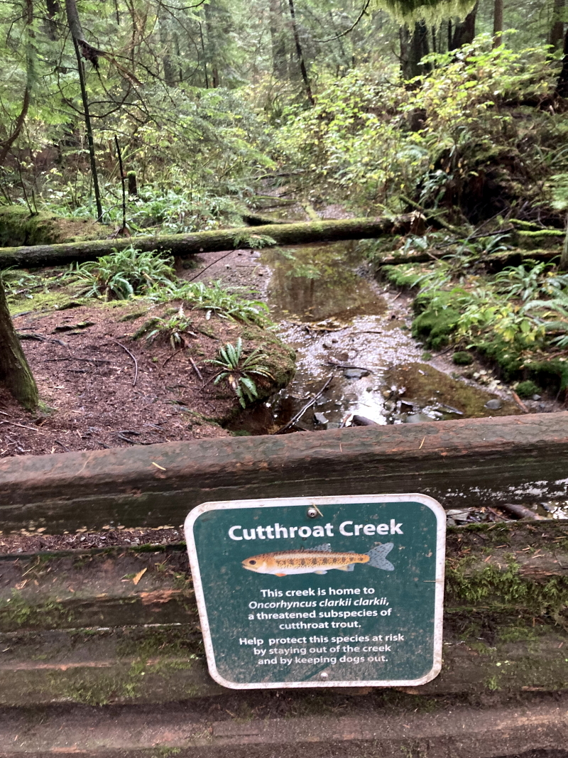
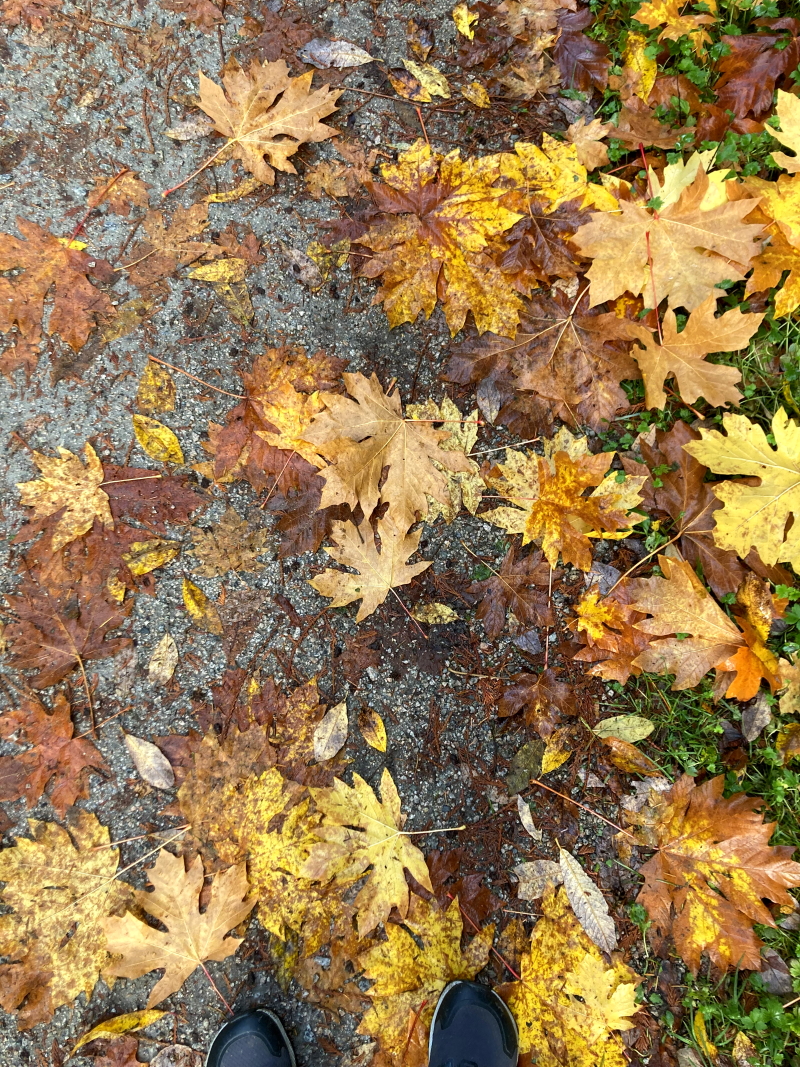
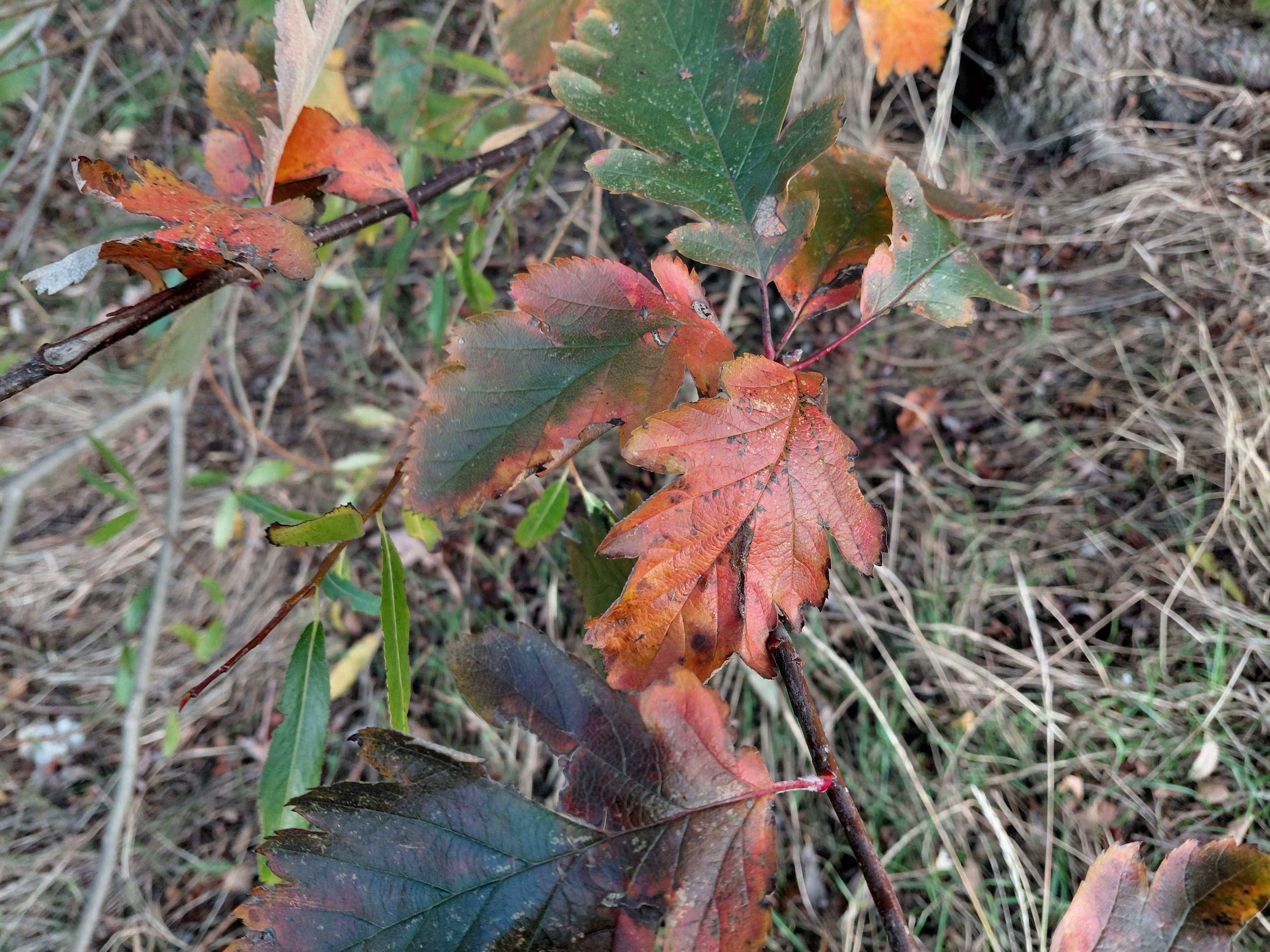
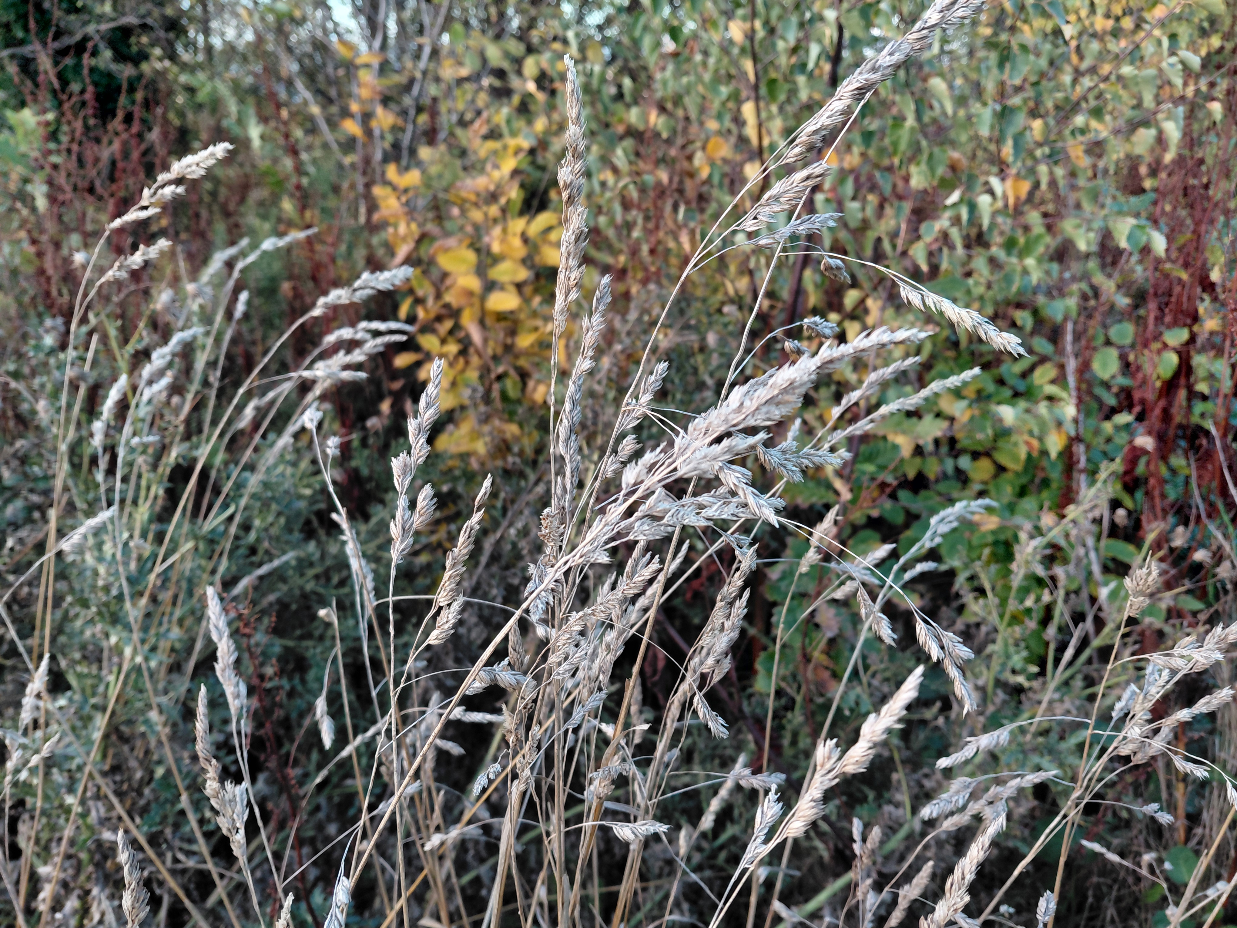
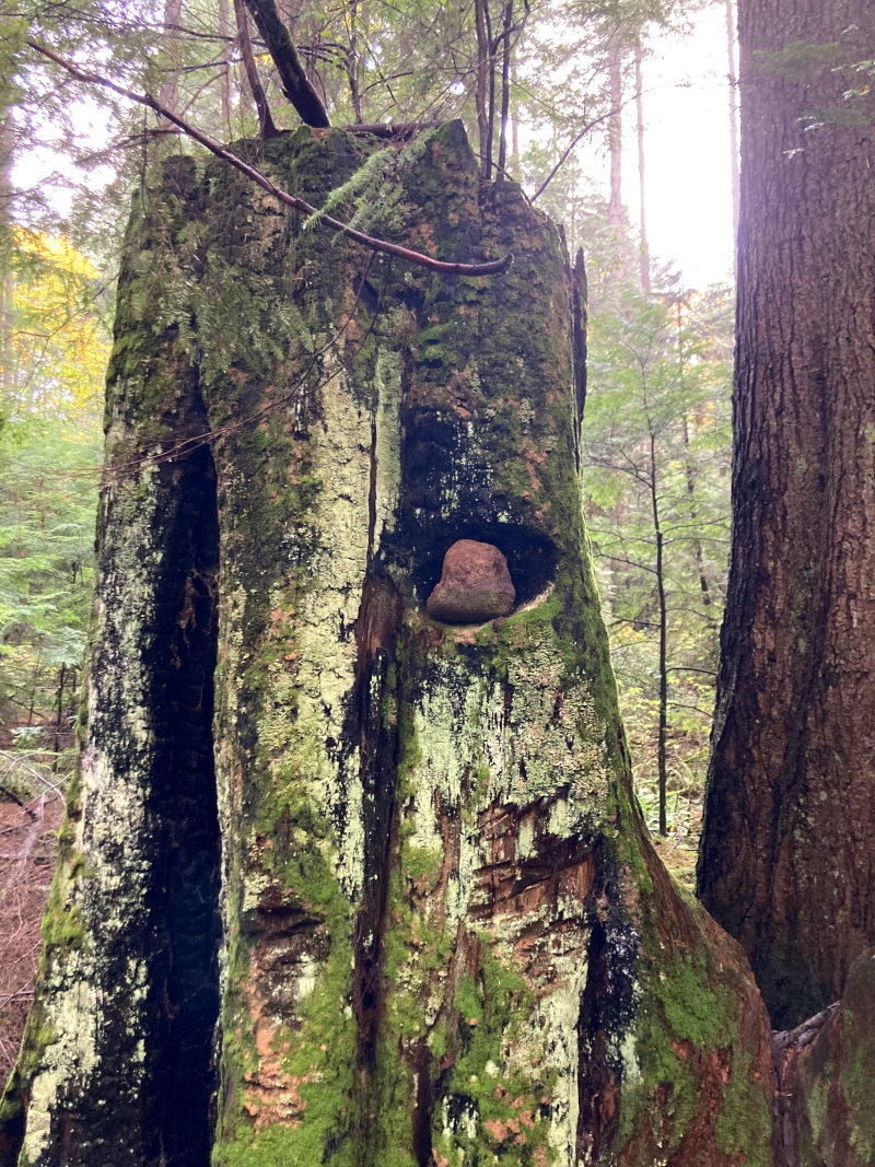
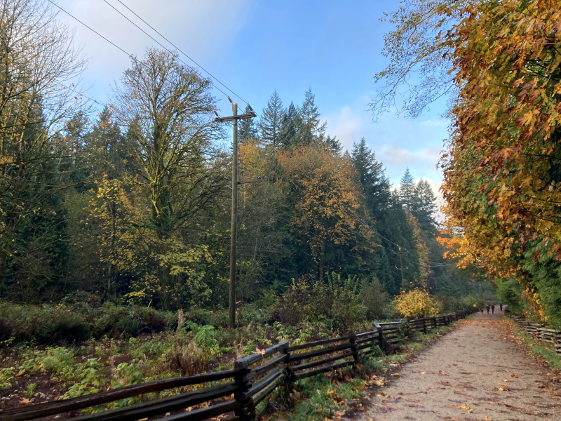
The top two images above were taken by Kristina Rothstein in Canada and the two below by me, on our Woods Walk.
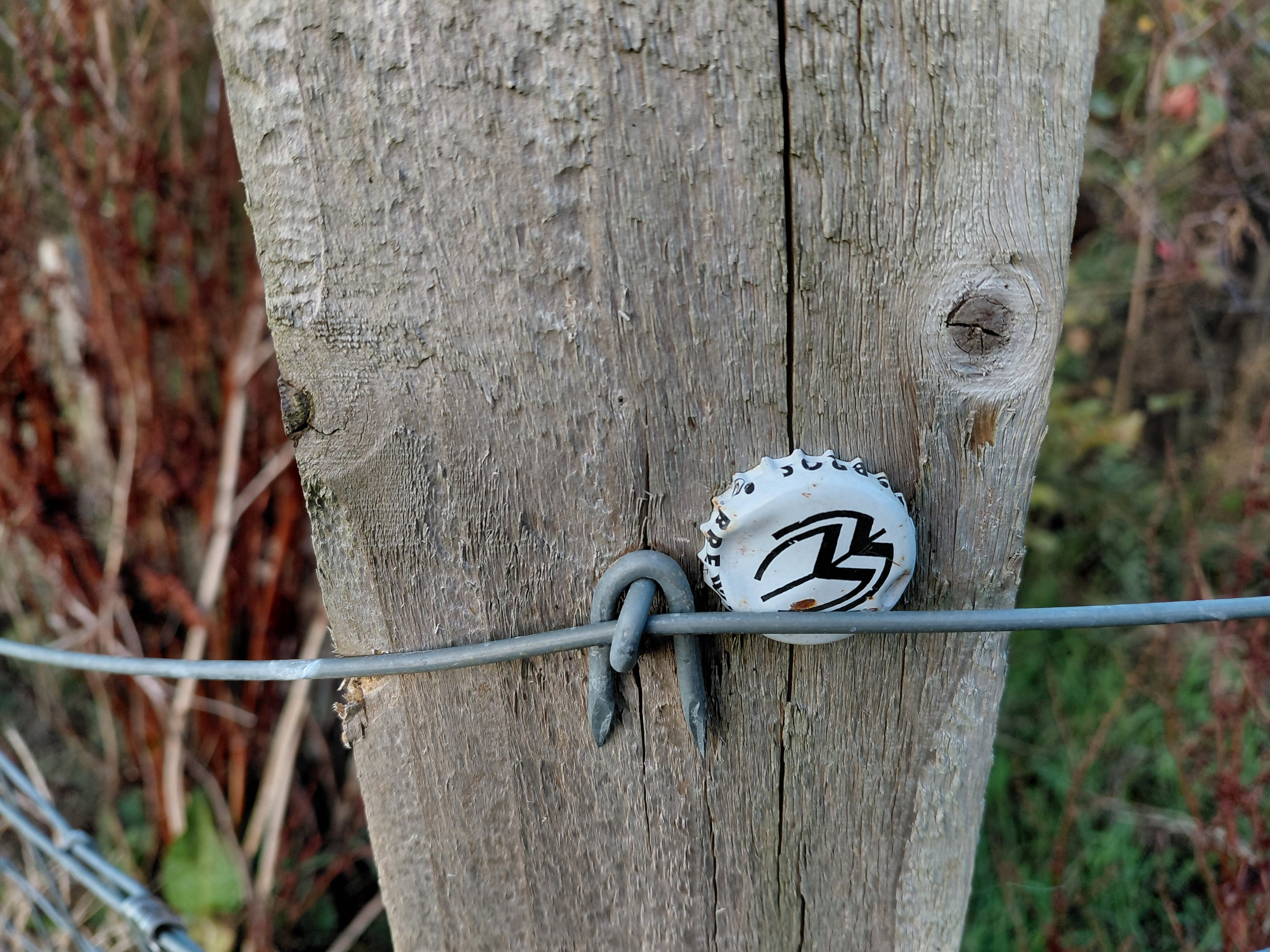
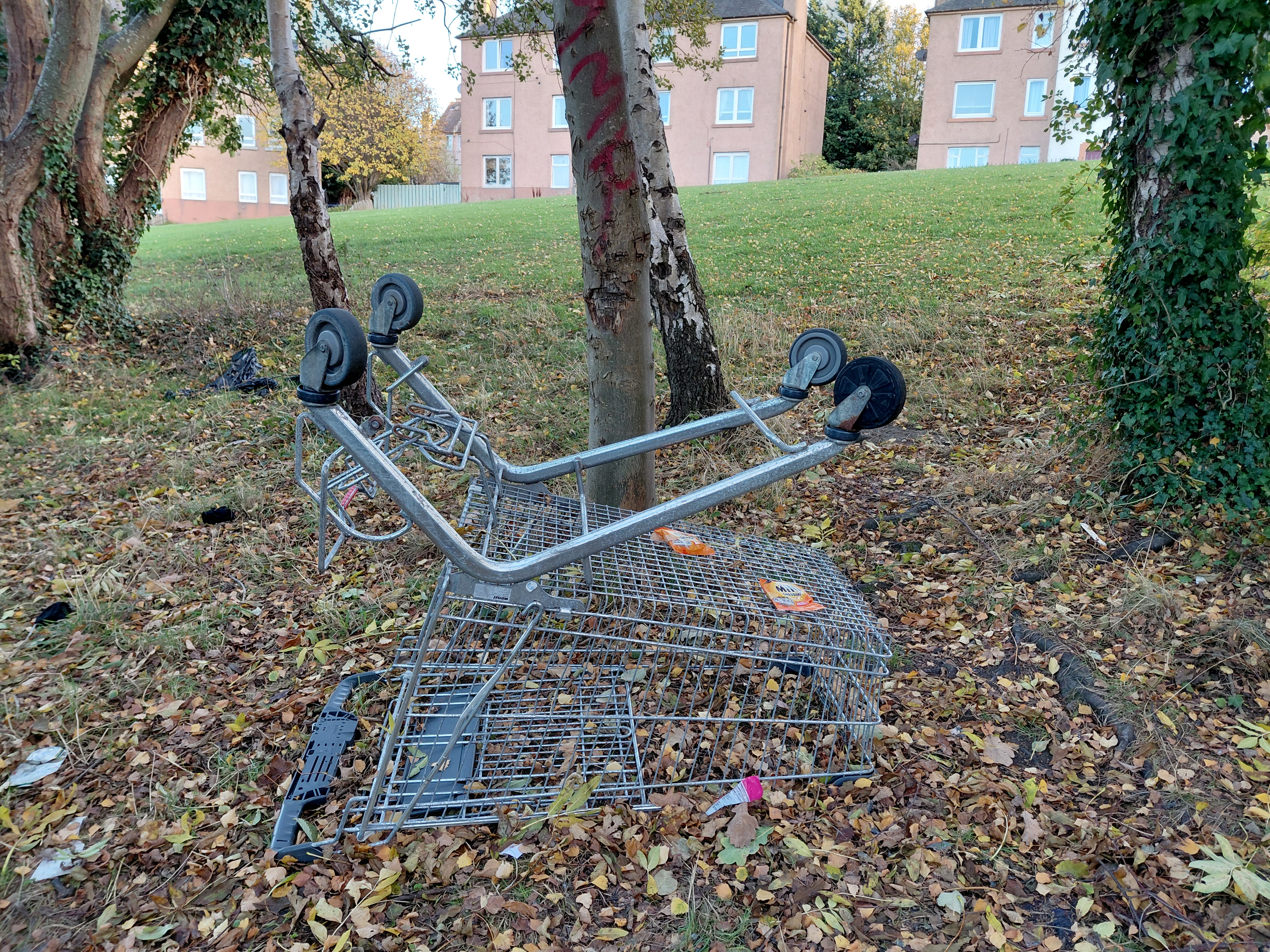
The top two images above were taken by me, and the two below by Kristina Rothstein in Canada, on our Woods Walk.
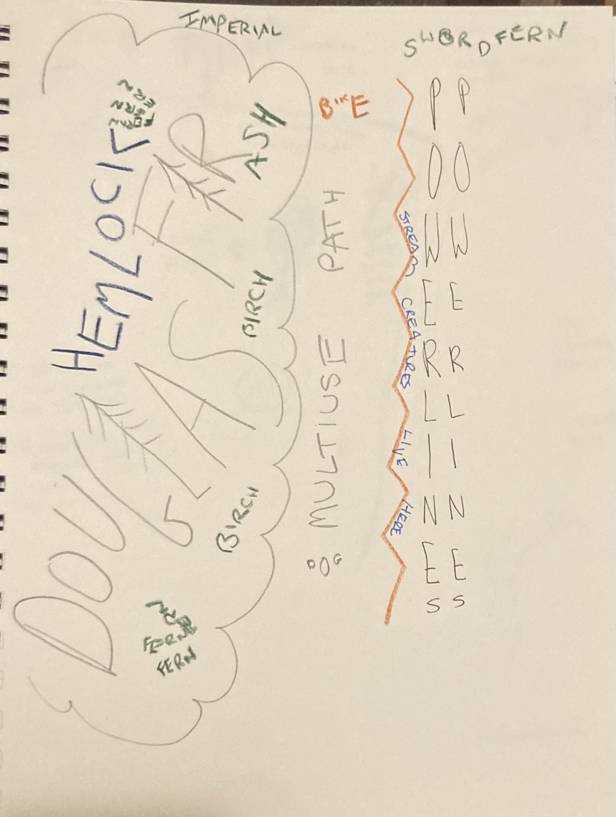
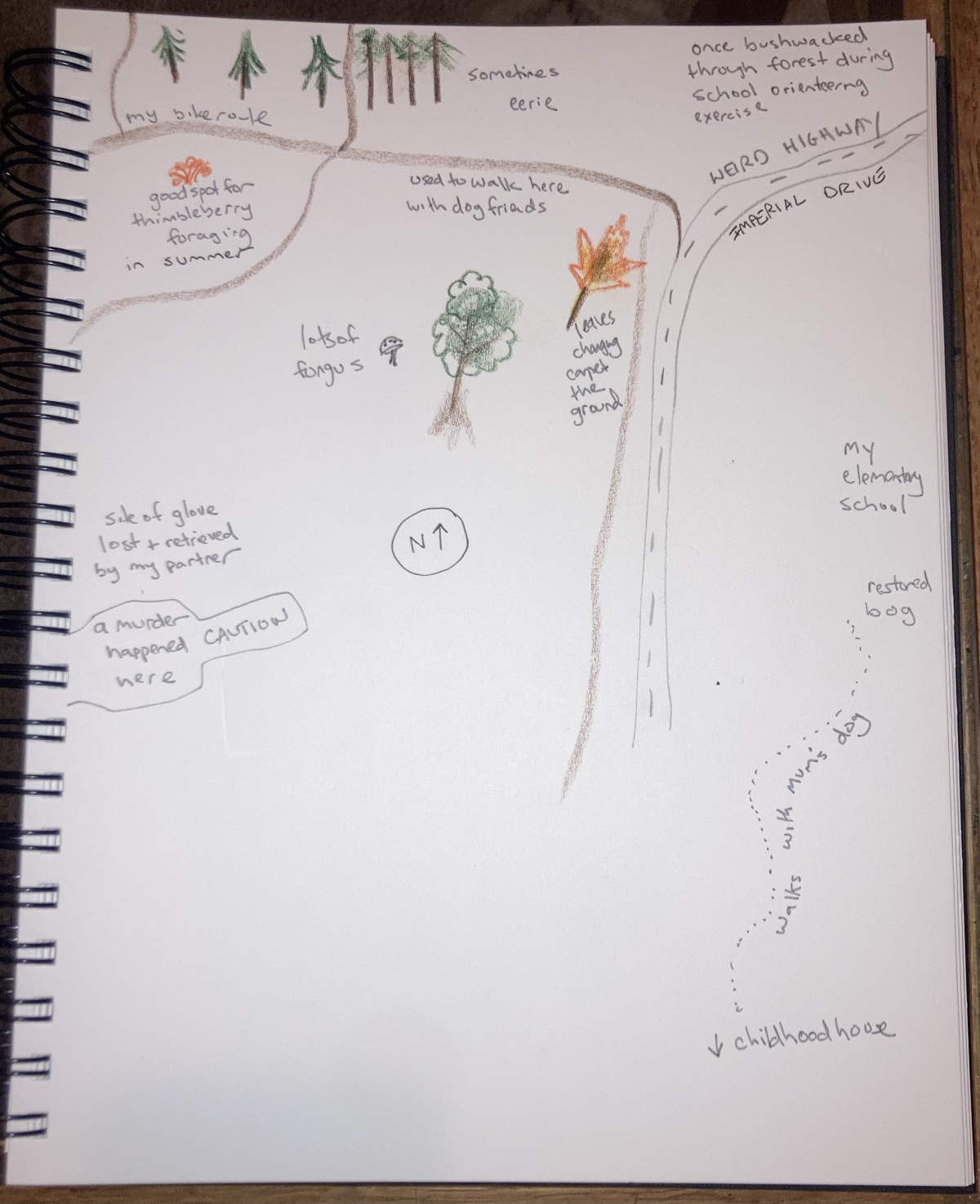
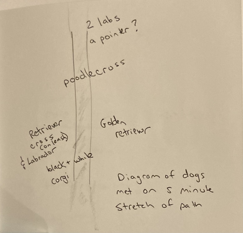
The three illustrations above show Kristina’s maps of words, memories and dogs respectively.
This video shows images (photographic and hand-drawn in pencil), from Tamsin’s walk in Scotland, together with recorded audio maps of the natural species found in the woods, and the rubbish that threatens to engulf them. It also includes two collages made using the InCollage app and paper/glue/scissors.
Links
This is a Walking the Land project.
You may also enjoy this blog about our first walk.
Kristina on Bandcamp with her audio walks and more, including Unwanted Belmont.
