
The Via Algarviana (GR13) runs for 300kms and is mainly mountainous. It begins in the east and ends in the west travelling through the Algarve region of Portugal. Starting at Alcoutim on the border with Spain, it finishes at the spectacular Cabo San Vicente, said to be the western-most tip of Europe, with America across the Atlantic Ocean. From there you can walk the Ruta San Vicente going north towards Lison, or eastwards along the coast towards Faro and Albufeira, if you would like to keep going! November 2019
Route: Alcoutim, Balurcos, Furnazinhas, Vaqueiros, Cachopo, Barranco do Velho, Salir, Alte, Messines, Silves, Monchique (with a monastery), Monalete, Bensafrim, Vila do Bispo, Cabo de Sao Vicente. There are 14 stages.
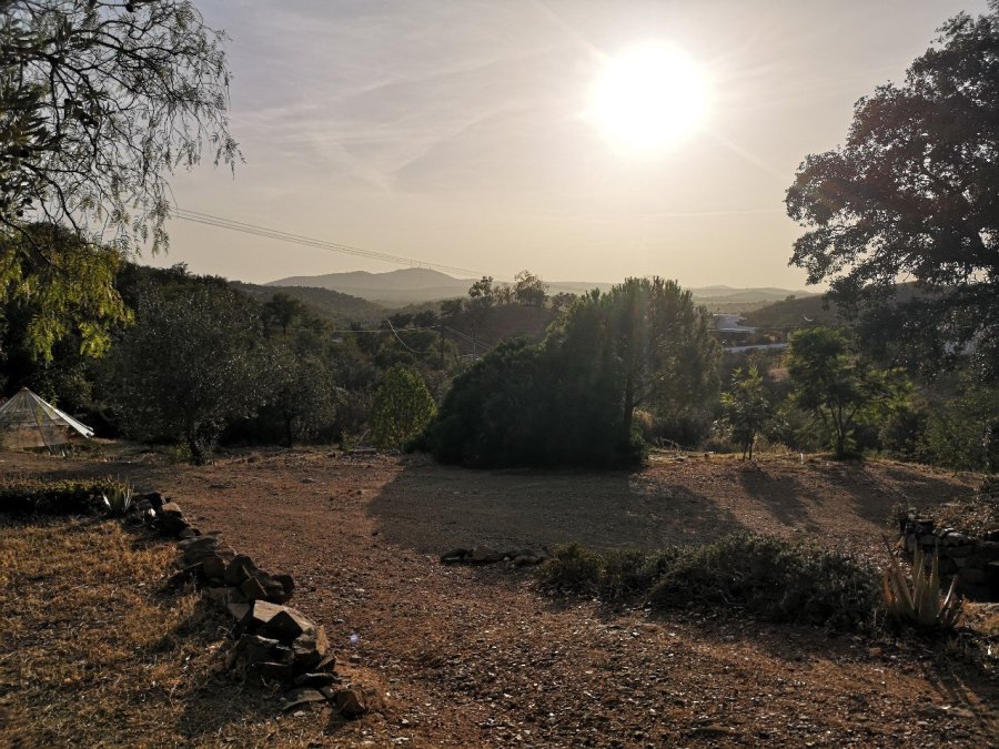
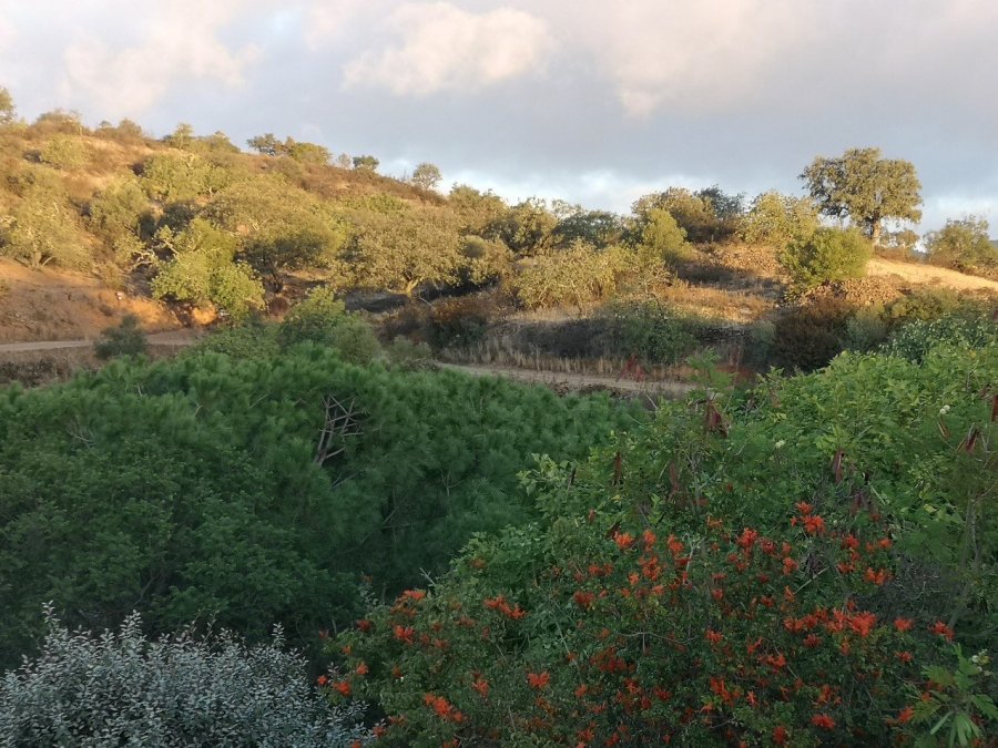
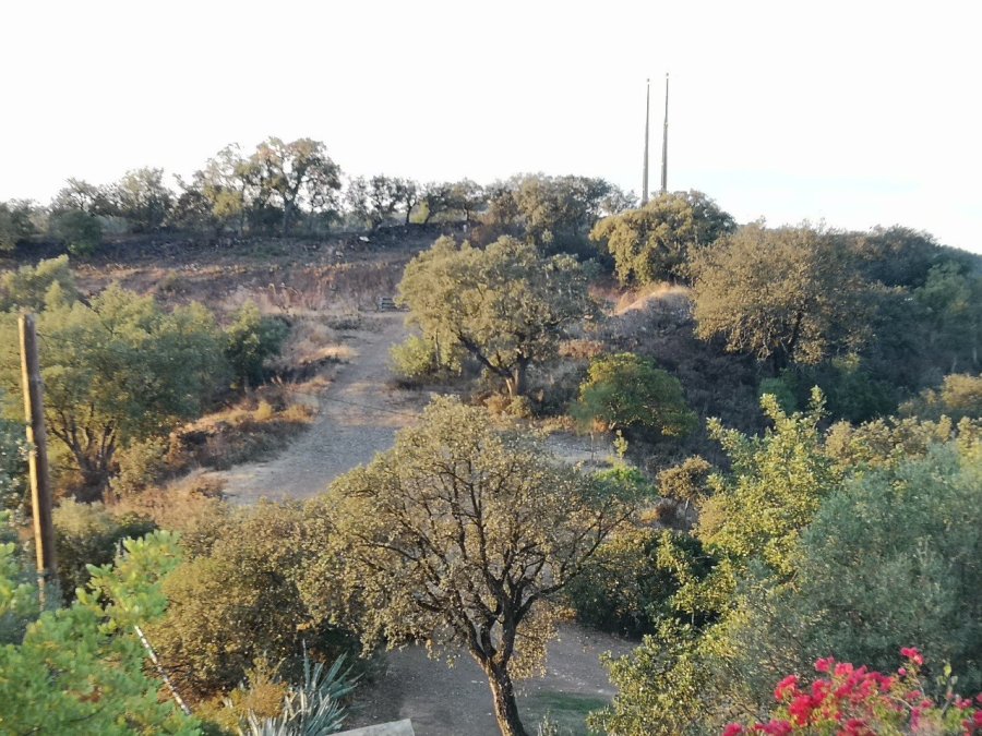
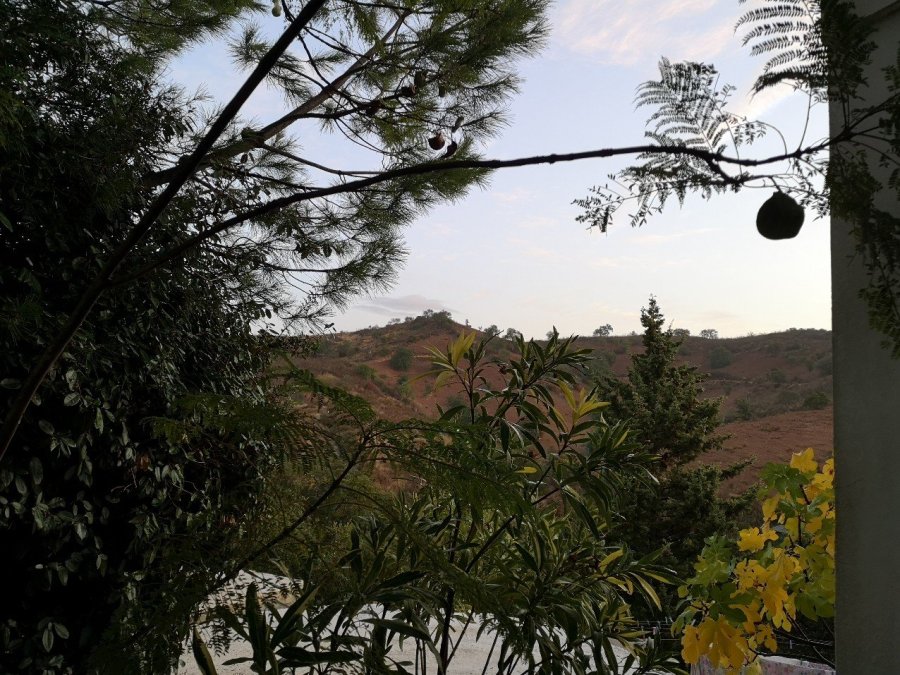
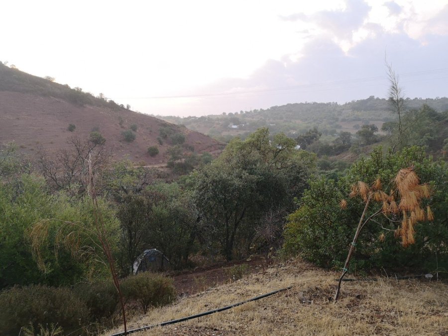
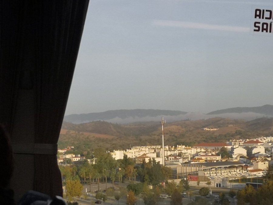
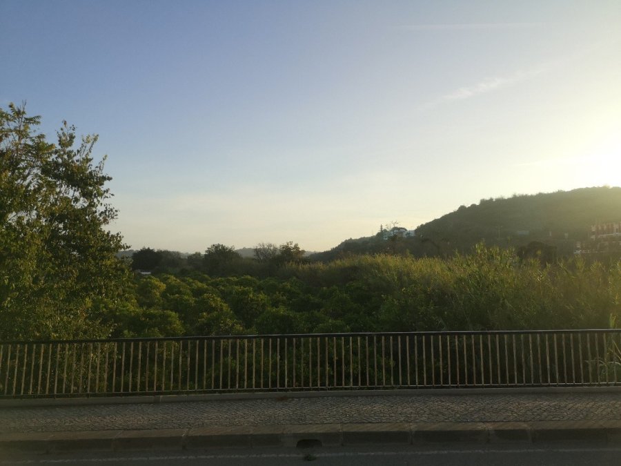
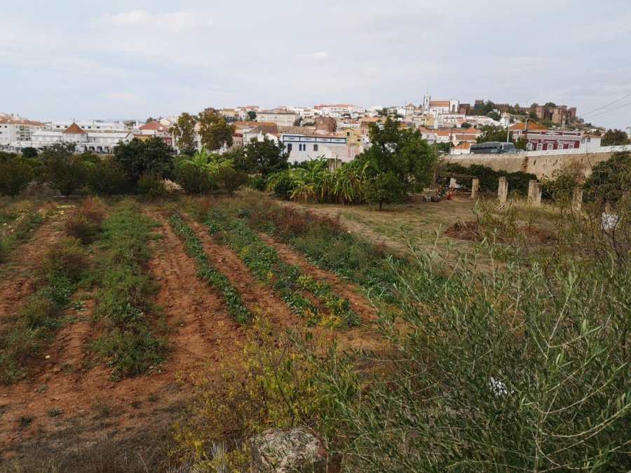
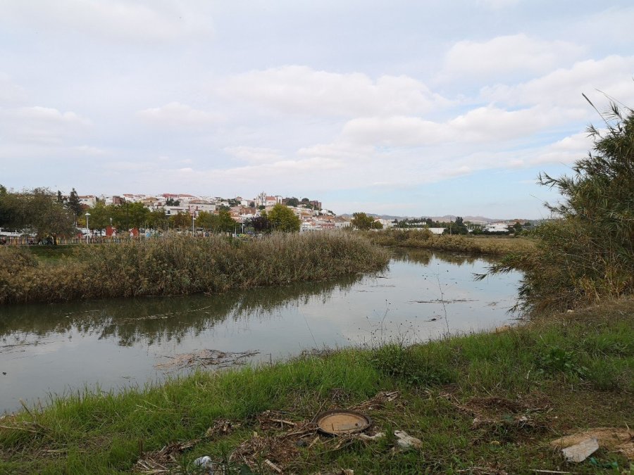
Below are a selection of views of the countryside at the start of the walk, the east of the Portuguese Algarve. Official website Please note that the fires referred to on this page were in 2018 and people were walking the route in 2019.

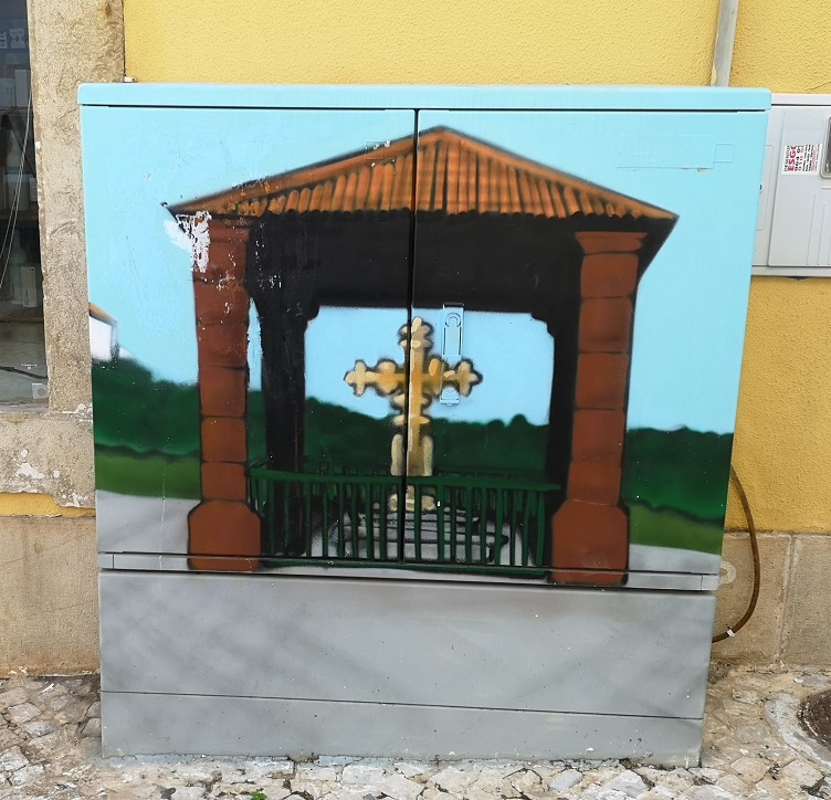
Near Silves on the Sao Bartolomeu de Messines road is the National Monument, the Cruz da Portugal.
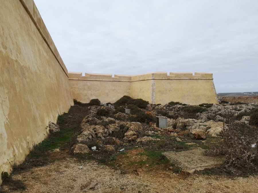
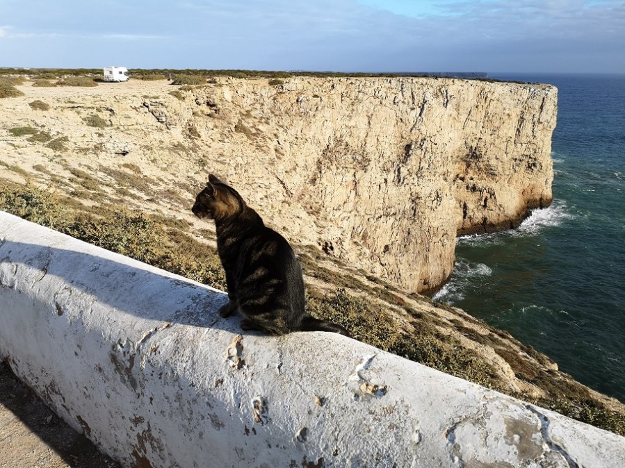
The fortress and sea views from Cabo San Vicente (end of the route) below


Harri Garrod Roberts Guide (English)
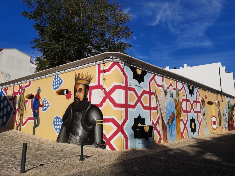
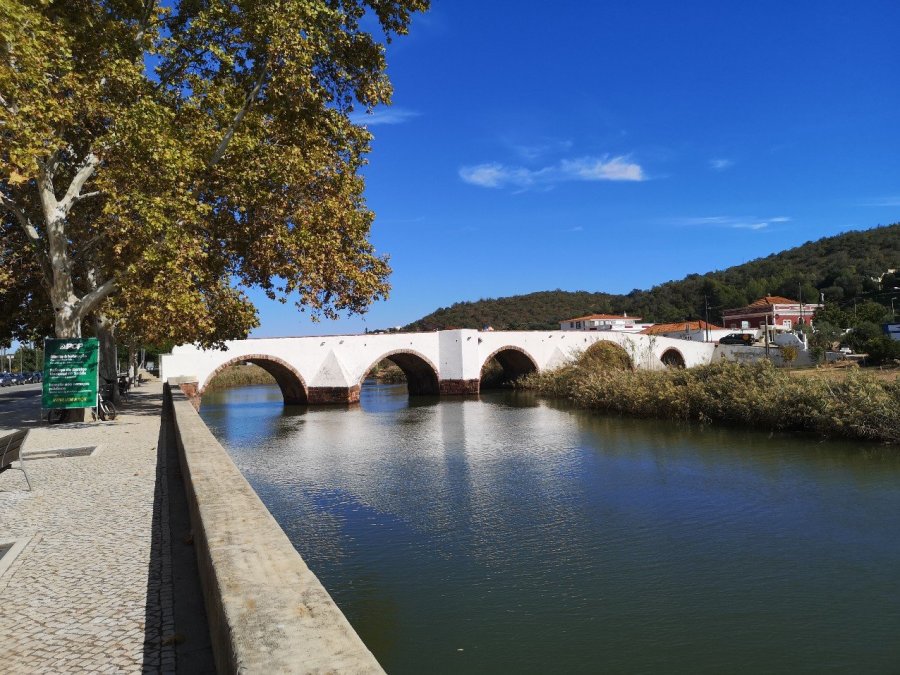
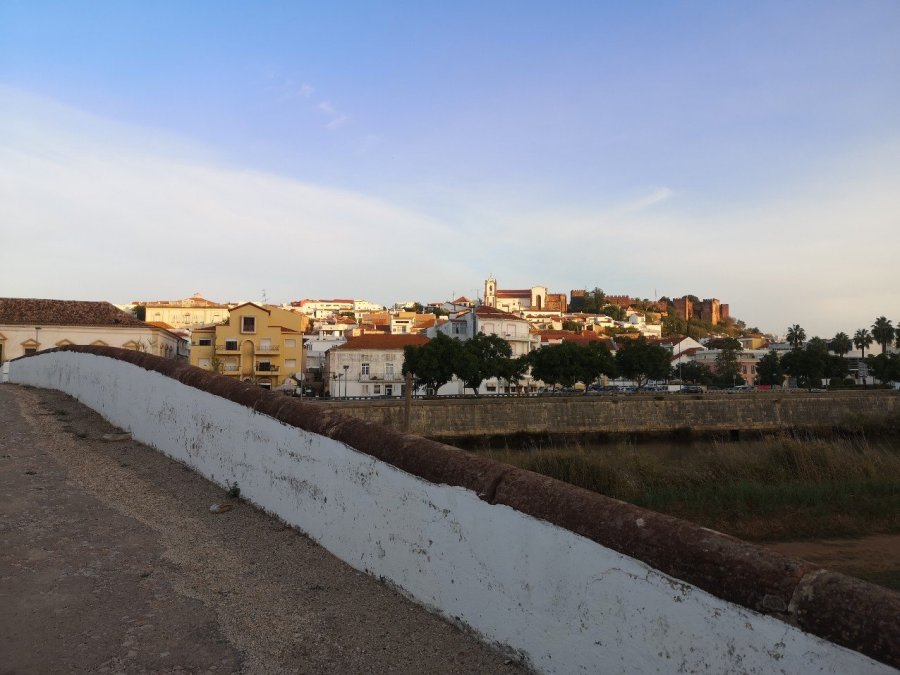
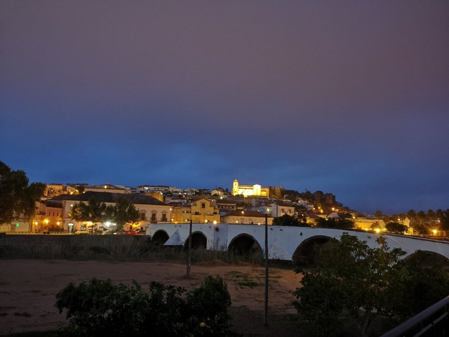
More information on Silves the castle, the museum, the fanous medieval festival etc (the parts I didn’t get to see because I had an ankle injury or was there at a different time of the year).

Such an amazing place.
LikeLike
Isn’t it! I had a great time started in Porto about this time last year – what a lot has changed!
LikeLiked by 1 person
Will have to do a bit of planning for that.
LikeLiked by 1 person
What a stunning walk that seems to be, Tamsin. 🙂
LikeLike
Thanks, yes it had a real ‘wow’ factor and has left me with great memories. I highly recommend it.
LikeLiked by 1 person